 Click to zoom
Hungary Map Keynote Template: Navigate Central Europe's Heart
| Format | .pptx |
| Slides | 44 unique layouts |
| Aspect ratio | 16:9 |
| Compatibility | PowerPoint |
| Animated | No |
| Language | English |
| License | Commercial |
| File size | — |
| Version | v1.0 |
| Last updated | May 2022 |
What's inside
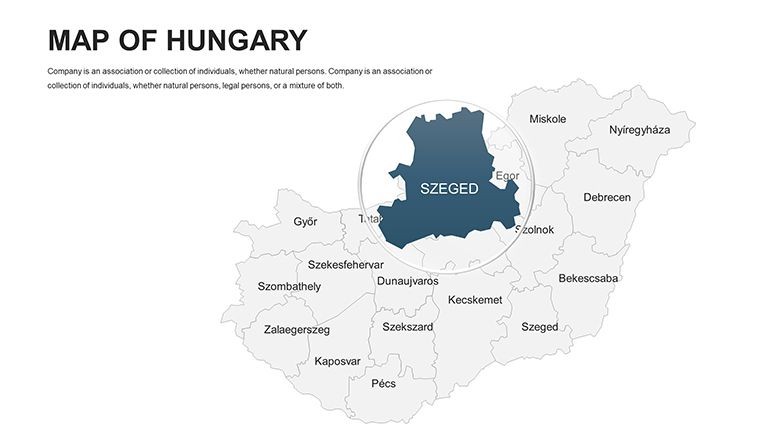
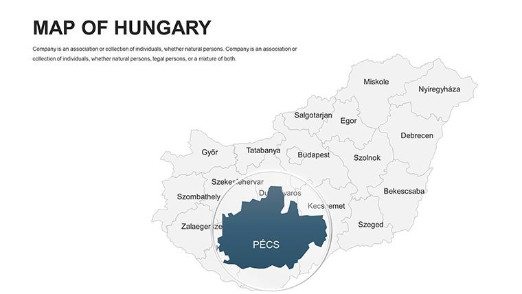
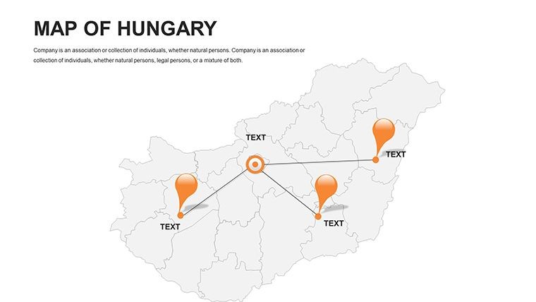
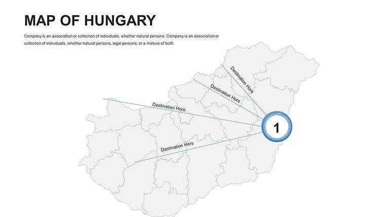
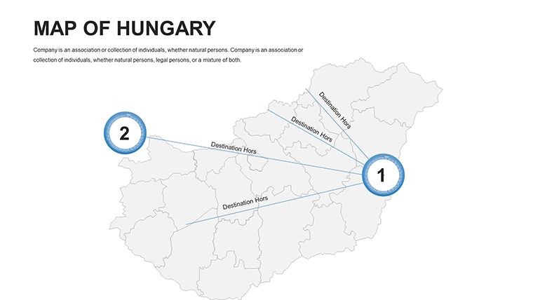
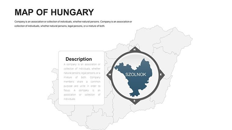
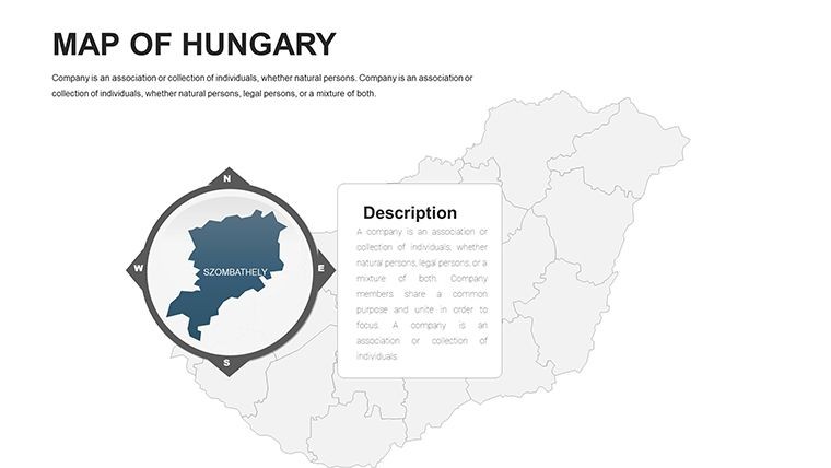
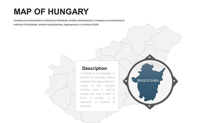
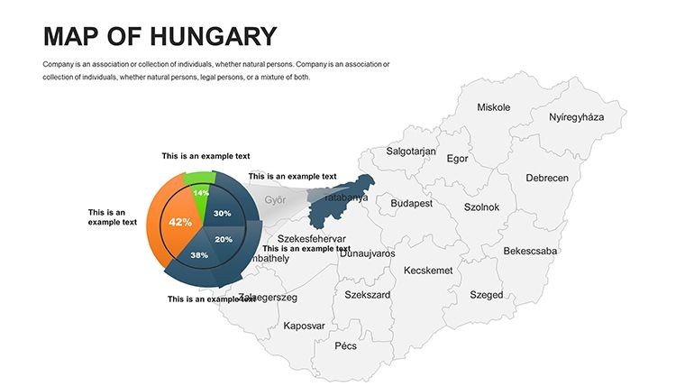
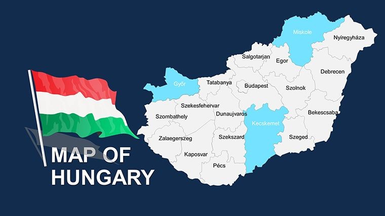
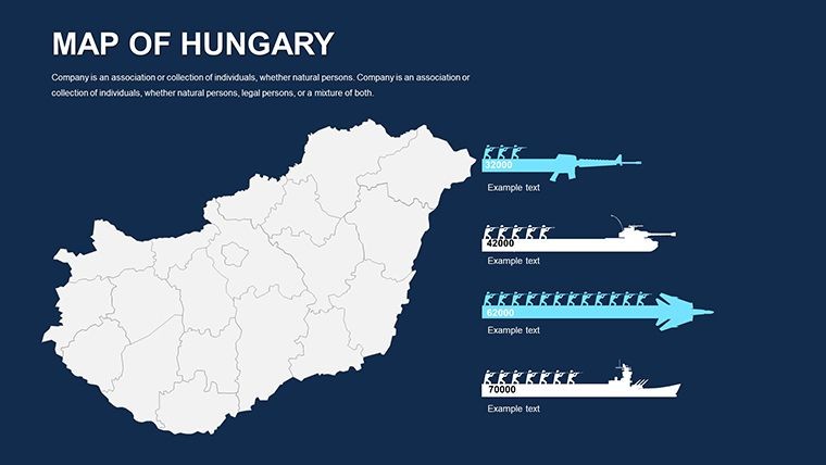
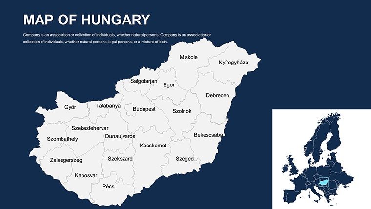
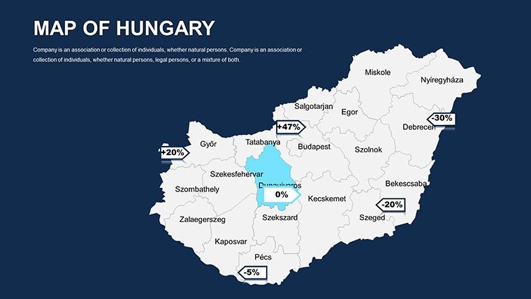
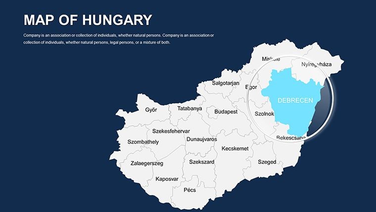
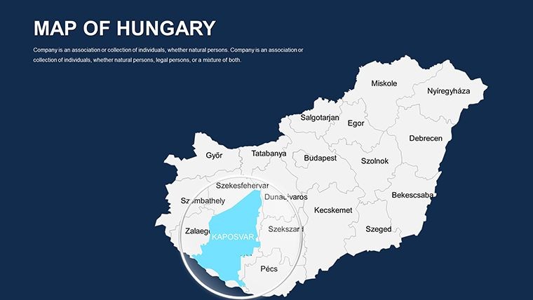
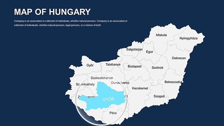
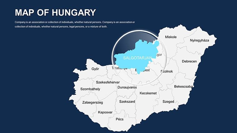
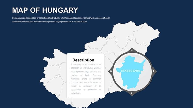
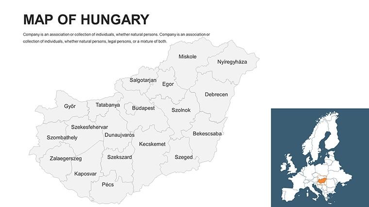
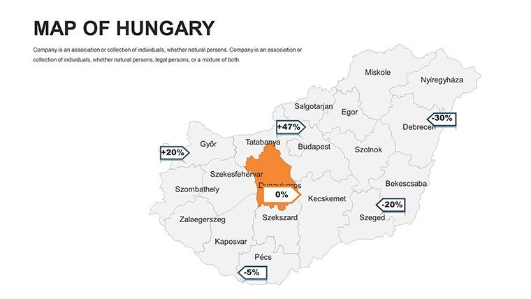
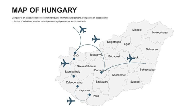
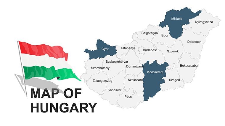
Hungary, nestled between the Carpathians and the Danube, embodies a rich tapestry of history, economy, and geography that demands equally compelling visuals. The Hungary Map Keynote Template delivers exactly that with 44 editable slides optimized for Keynote, ideal for economists, historians, and urban developers aiming to illuminate this landlocked nation's story. From Budapest's thermal baths to the Puszta plains, this template lets you map economic hubs, agrarian landscapes, and industrial zones with effortless sophistication, turning data into destinations your audience will remember.
Drawing from my experience advising Central European consultancies, I've witnessed how accurate mapping can clarify complex narratives - like Hungary's post-1989 economic boom. This template uses precise vector outlines based on official Hungarian cadastral data, ensuring reliability for presentations referencing EU agricultural policies or World Bank growth forecasts. Architects particularly benefit, using these slides to plot restoration projects in historic sites, aligning with UNESCO guidelines for thermal spa designs in Budapest.
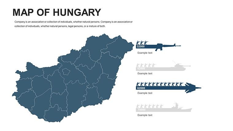
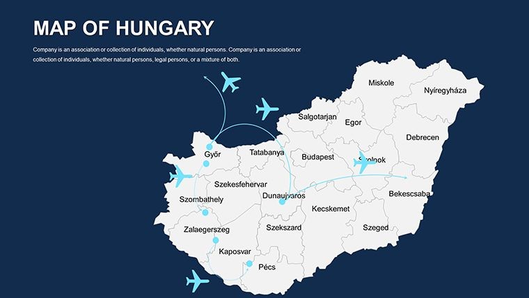
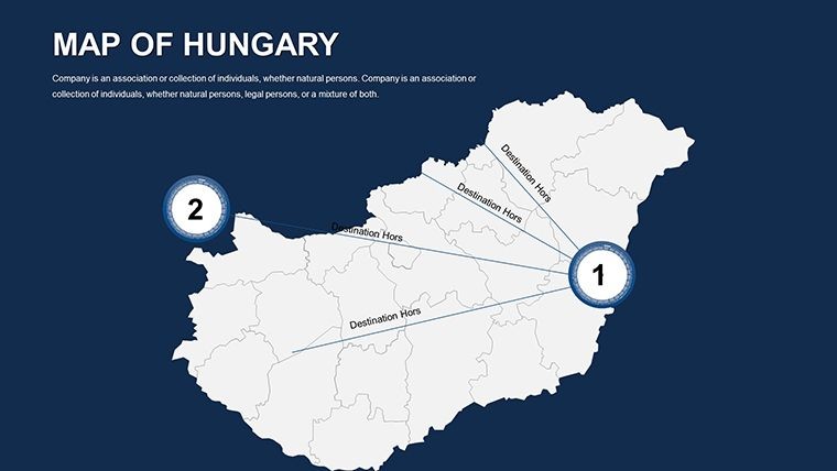
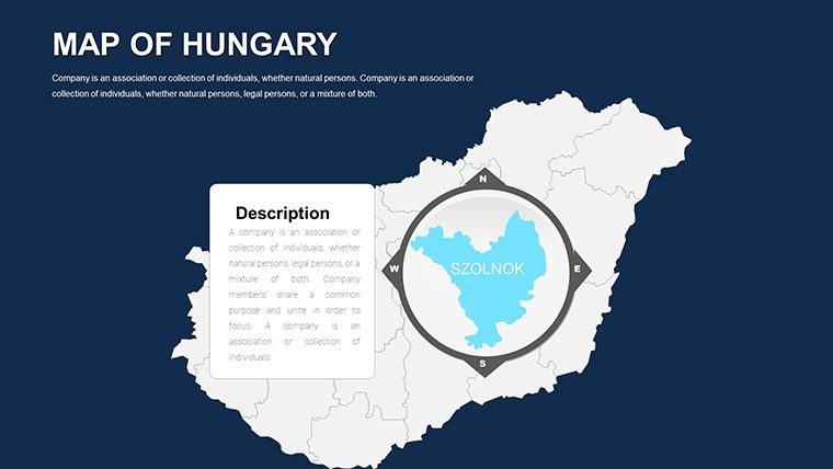
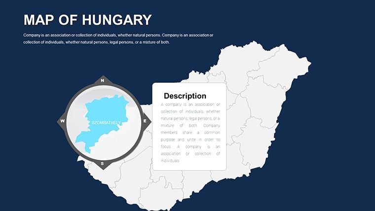
The structure unfolds logically: Begin with a full Hungary overview, then explore regions like Transdanubia for viticulture stats or the Great Plain for horticulture visuals. Each slide supports layered info - add shaded relief for topography or icons for industries like aluminum production - making it versatile for thematic deep dives. High-res graphics ensure clarity in any format, from Keynote natives to exported PowerPoint hybrids.
Core Features: Precision and Flexibility in Every Slide
This template excels through thoughtful design elements that prioritize usability:
- Geoeconomic Accuracy: Maps reflect Hungary's borders with seven neighbors, with editable zones for industries from chemicals to wine regions.
- Visual Customization: Tailor shades to denote economic variances - greens for agrarian areas, metallics for factories - and integrate fonts for Hungarian diacritics.
- Integrated Icons: Library of symbols for landmarks, crops, and machinery, vector-scaled for seamless additions.
- Dynamic Capabilities: Keynote animations bring borders to life, such as expanding the Danube River to show flood management strategies.
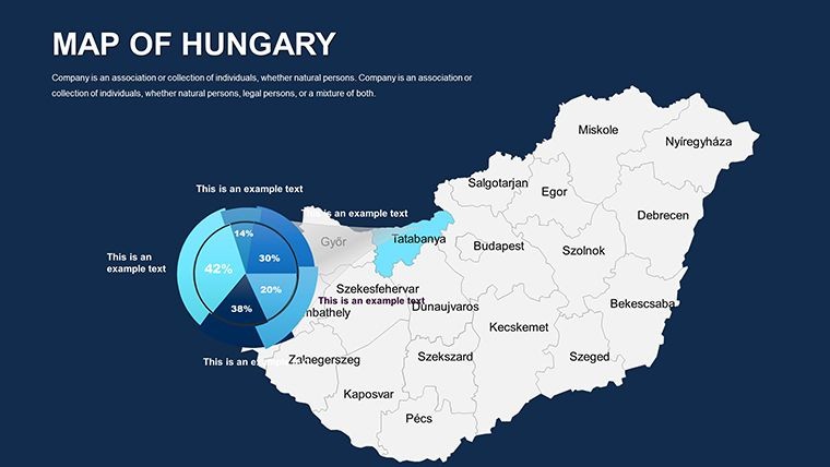
In practice, business analysts use it to overlay GDP data on regional maps, citing Hungarian Central Bank stats to forecast trade with Slovakia or Austria - far more persuasive than spreadsheets alone.
Versatile Applications: From Academia to Industry
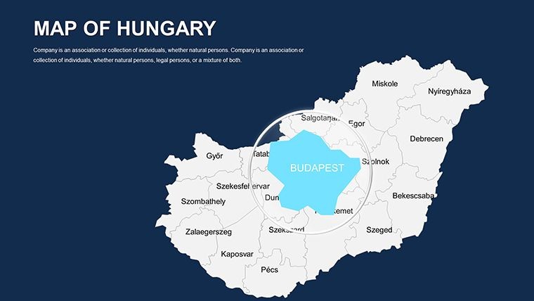
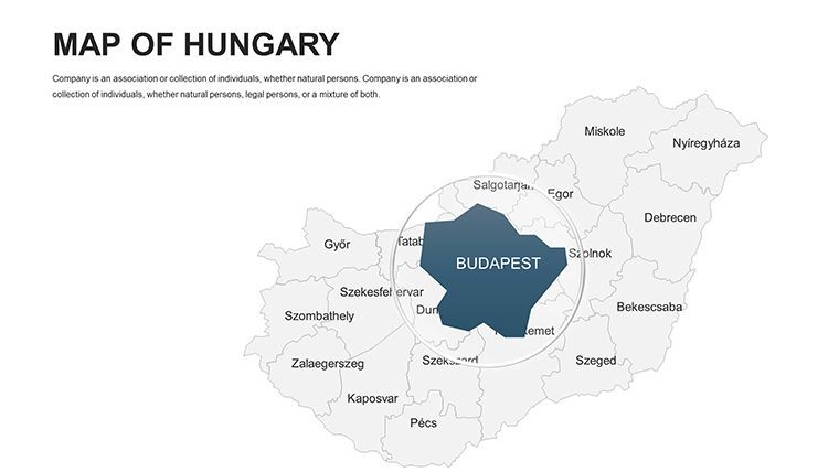
Historians animate timelines of Habsburg influences using the capital slide, revealing Budapest's evolution with phased builds. Educators engage students by editing maps to trace paprika trade routes, tying into cultural geography lessons.
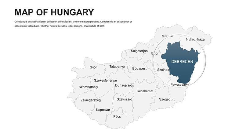
For economic pitches, layer infographics on industrial slides: Visualize machine-making outputs against EU benchmarks, impressing investors with data-driven clarity. In architecture, planners map urban renewal in Debrecen, incorporating seismic data from the Carpathians for resilient design proposals that meet international standards.
The template's modularity shines in multi-stakeholder reports - hyperlink regions to detailed appendices or embed climate models for viticulture impacts under changing Alps weather patterns.
Streamlined Customization Process
- Launch and Layout: Open .key files; select the national overview for your base.
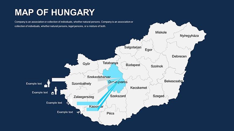
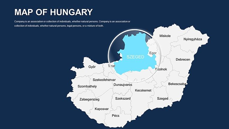
- Refine Regions: Color-code economic sectors, add labels for cities like Szeged.
- Incorporate Analytics: Insert line graphs for growth trends aligned with map features.
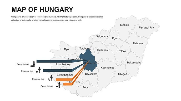
- Enhance Motion: Animate icons to simulate supply chains across borders.
- Package for Delivery: Export to various formats for global sharing.
Expert advice: Pair with satellite imagery on blank slides for hybrid views, like thermal imaging of Budapest's baths to discuss eco-tourism potential.
Proven Benefits: Elevate Your Expertise
With 477 ratings, this $48 tool boosts presentation impact, reducing design time by 50% while enhancing credibility. It's a staple for those navigating Hungary's multifaceted landscape.
Chart your course - secure the Hungary Map Keynote Template today and unlock Central Europe's potential.
Frequently Asked Questions
Compatibility beyond Keynote?
Yes, export to PowerPoint or Google Slides for team collaboration.
Editing depth for maps?
Full vector editability for shapes, colors, and annotations.
Includes economic icons?
Yes, tailored symbols for industries and landmarks.
Ideal for economic reports?
Spot-on for visualizing trade and growth data.
Animation support?
Native Keynote features for smooth transitions.
Format inclusions?
.key in ZIP, with vectors for flexibility.
Good for
- Project roadmaps and sprint plans
- Product launch timelines
- Quarterly or annual review decks
- Company history and milestone summaries
Licence
reviews
Needed quick map visuals for class and this worked.
The region colors were easy to customize.
A few layouts looked outdated honestly.
Not bad for a last-minute project.
FAQ
Will it work in Google Slides?
Are fonts embedded?
Can I use this for client work?
What's the refund policy?
Do you update the template after purchase?
Similar templates
See all Keynote Maps →
All 44 slides