 Click to zoom
Hungary Keynote Maps: Charting Central Europe's Heart
| Format | .pptx |
| Slides | 44 unique layouts |
| Aspect ratio | 16:9 |
| Compatibility | PowerPoint |
| Animated | No |
| Language | English |
| License | Commercial |
| File size | — |
| Version | v1.0 |
| Last updated | May 2022 |
What's inside
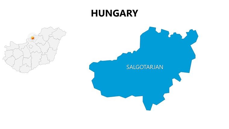
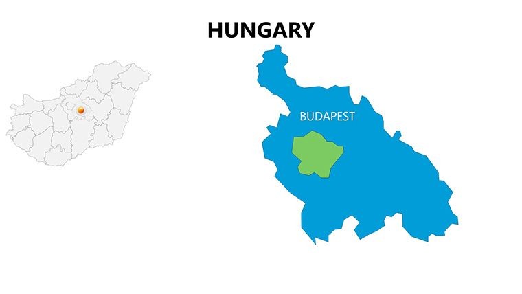
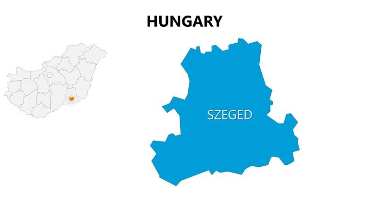
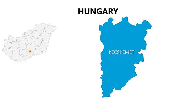
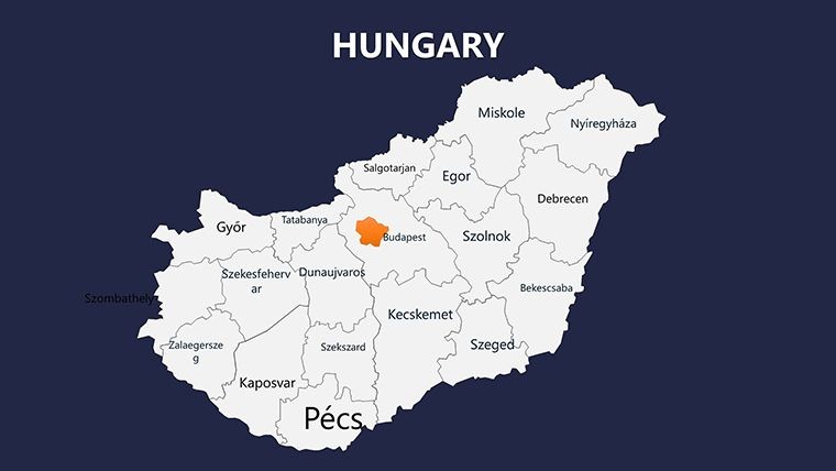
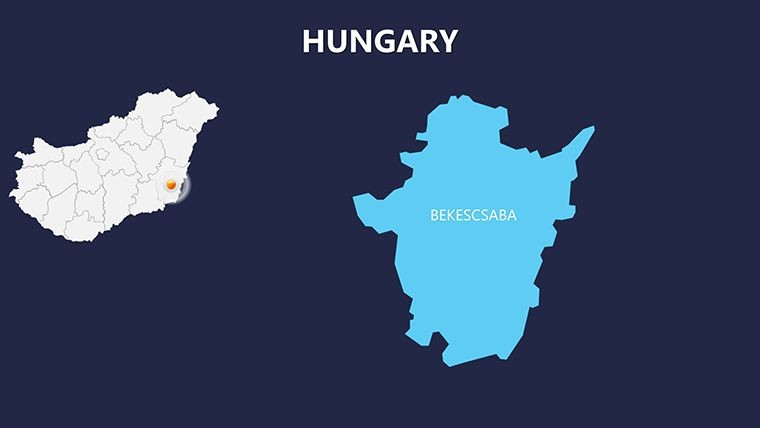
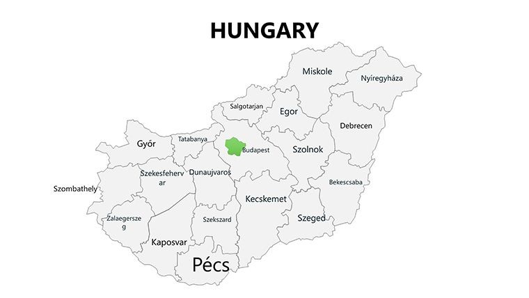
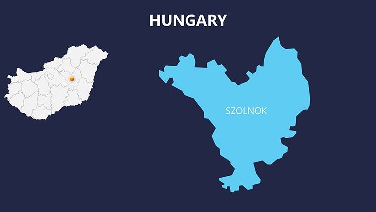
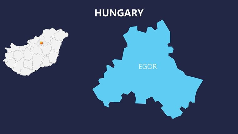
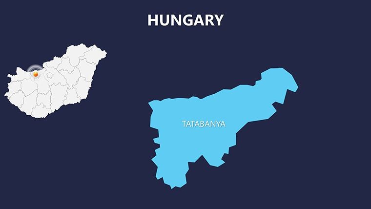
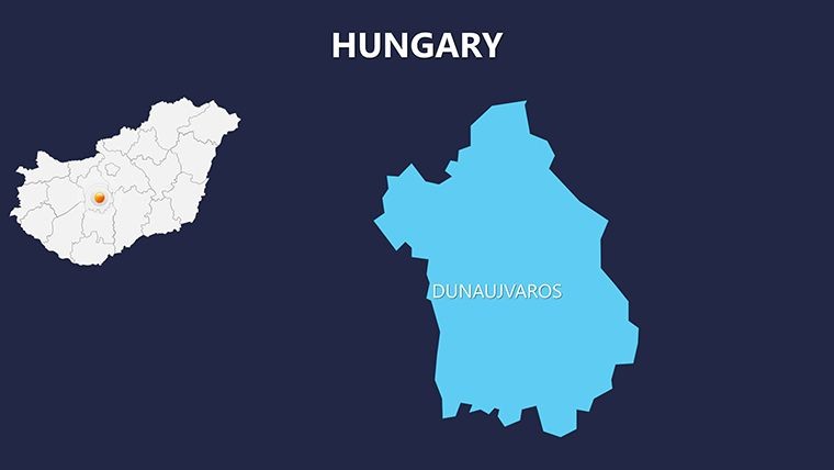
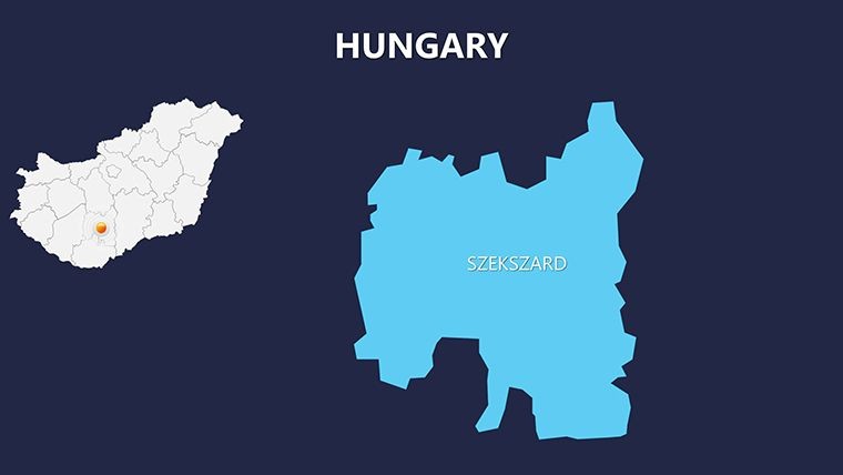
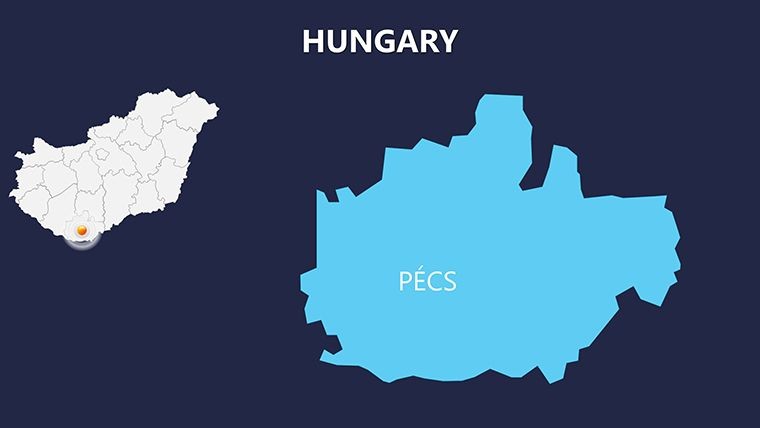
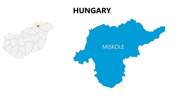
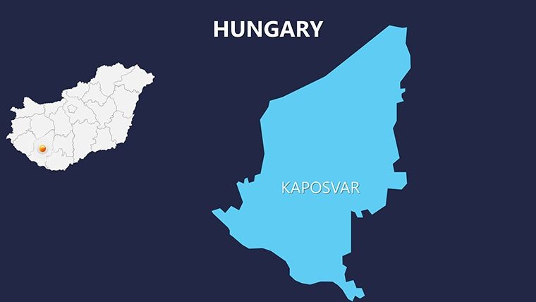
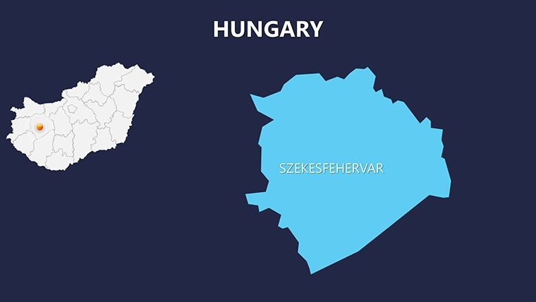
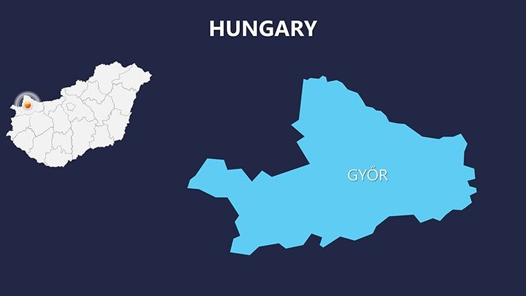
Step into the enchanting world of Hungary with our Complete Hungary Keynote Maps template, a powerhouse for anyone needing to visualize this gem of Central Europe. Boasting 44 editable slides in widescreen 16:9 format, this Keynote template is tailored for professionals, travel enthusiasts, and educators who want to spotlight Hungary's diverse regions - from the historic streets of Budapest to the serene Lake Balaton. Whether you're crafting a tourism pitch, analyzing market trends, or teaching about European history, these maps turn data into dynamic narratives that captivate and inform.
Hungary's allure as a top tourist destination demands presentations that match its vibrancy. Our template delivers with precise, layered maps drawn from reliable sources like the European Environment Agency, ensuring geographical accuracy. You'll navigate through detailed regional breakdowns, overlaying stats on wine regions or thermal spas, and even add custom animations to reveal hidden gems progressively. For businesses eyeing expansion, the slides facilitate sales territory mapping, while academics can use them to trace the Danube's path through cultural hubs.
Standout Features for Seamless Customization
Designed for efficiency, this template goes beyond basic outlines. With .key and .kth files included, compatibility with Keynote is flawless, supporting drag-and-drop edits. Highlights include:
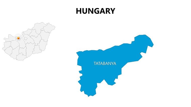
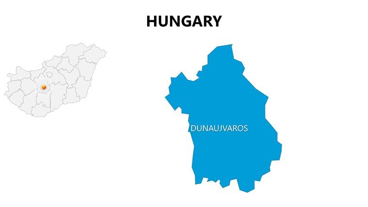
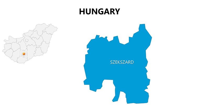
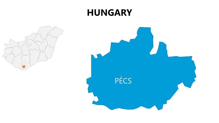
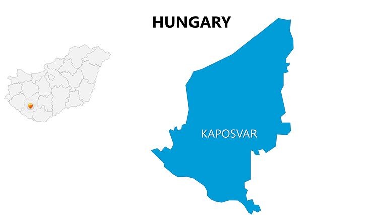
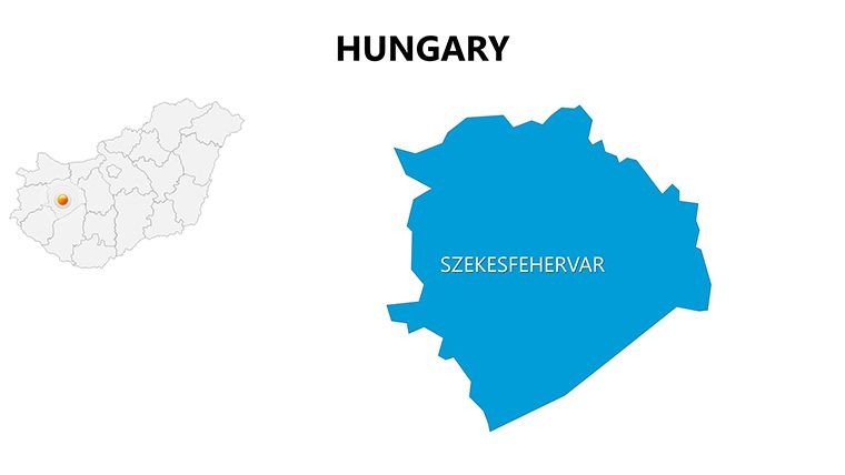
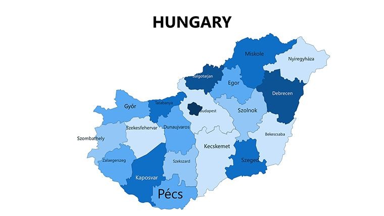
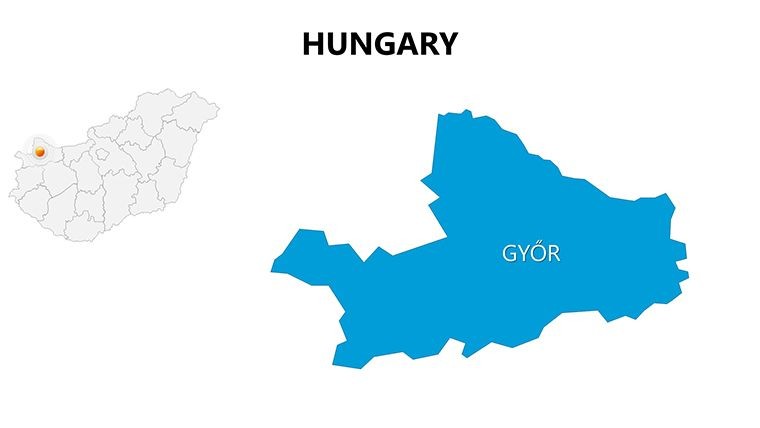
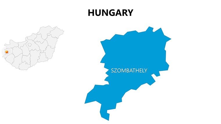
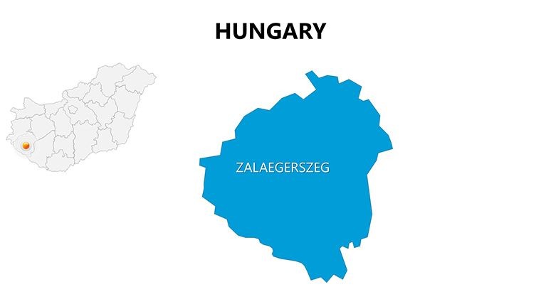
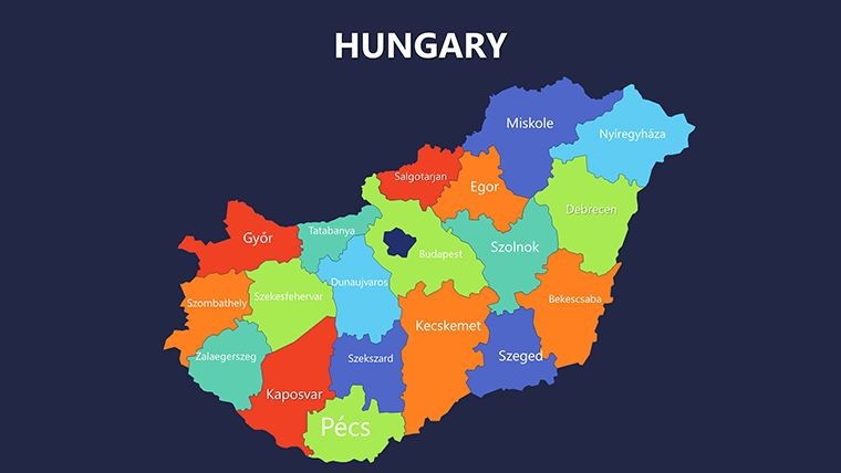
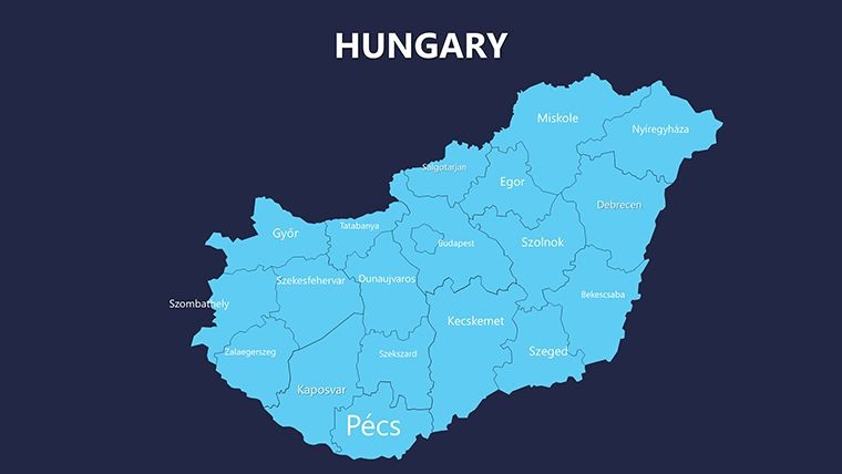
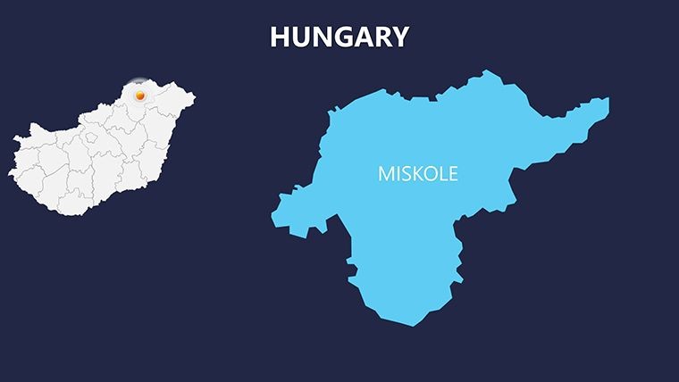
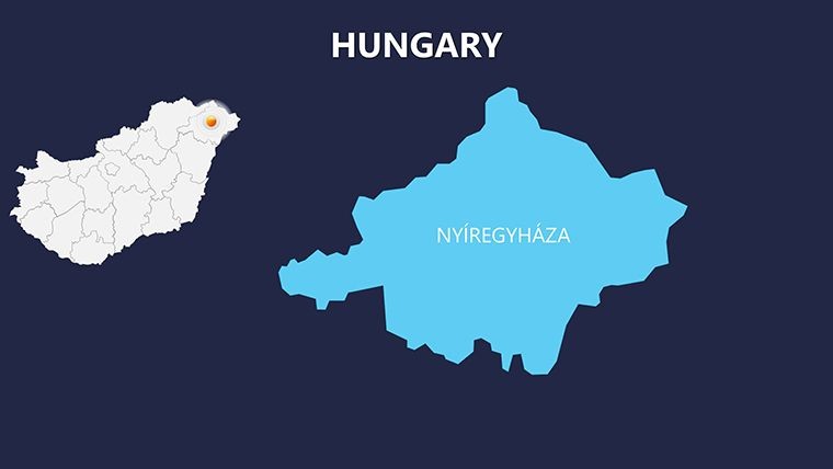
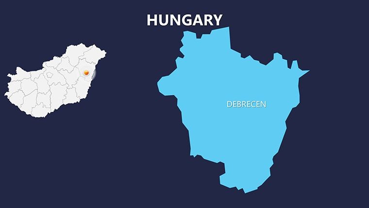
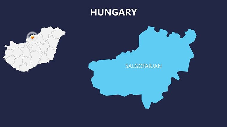
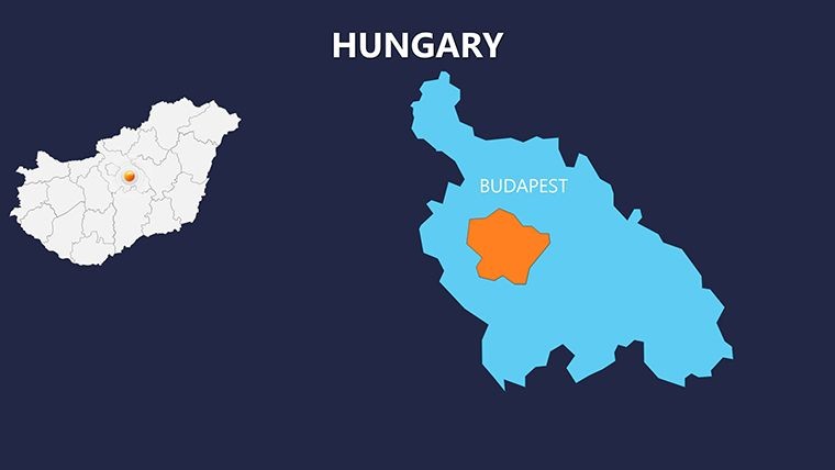
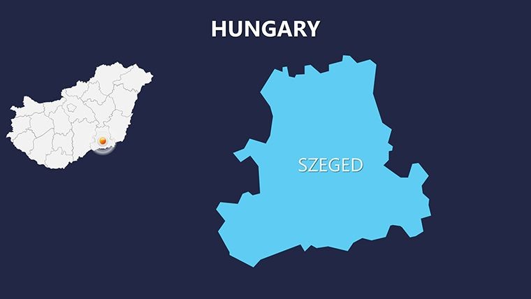
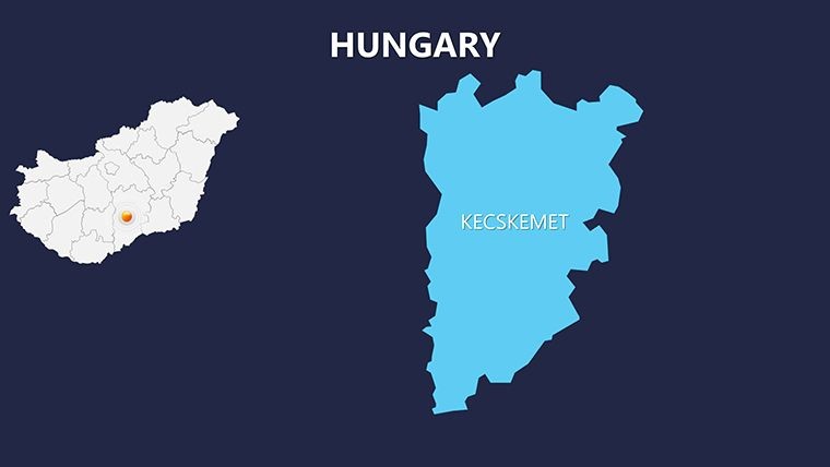
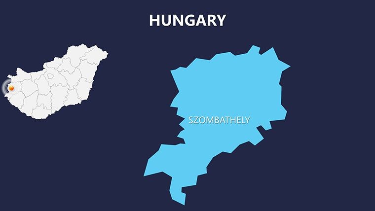
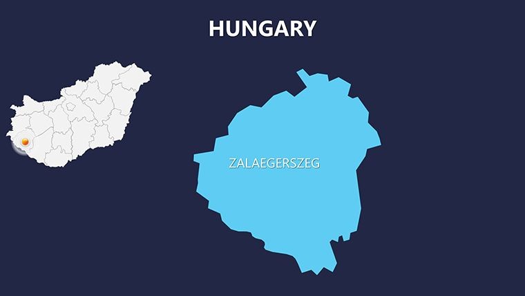
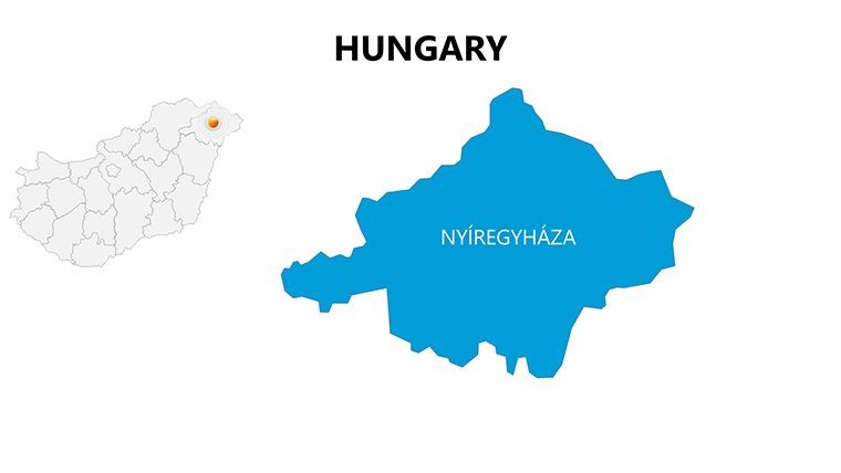
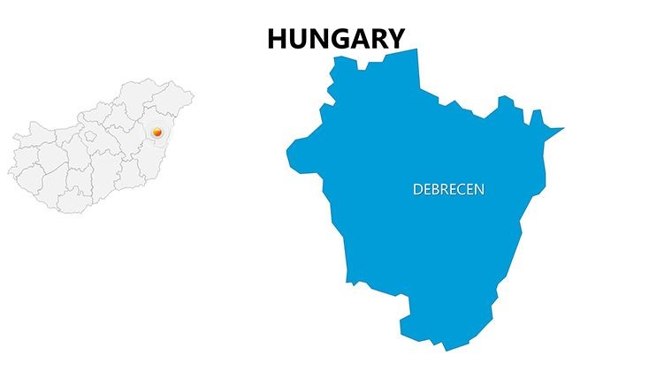
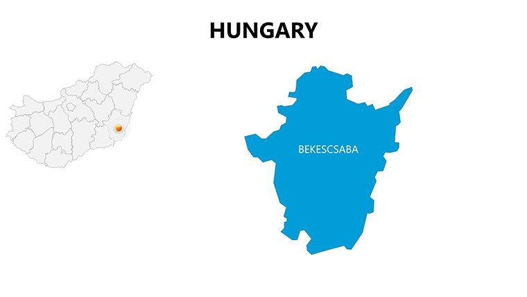
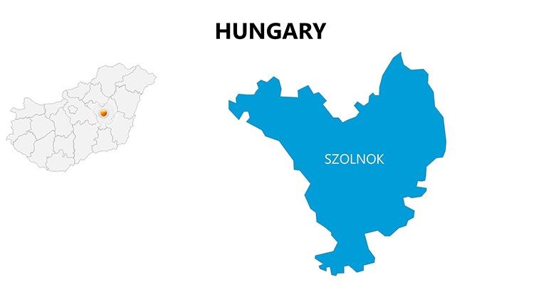
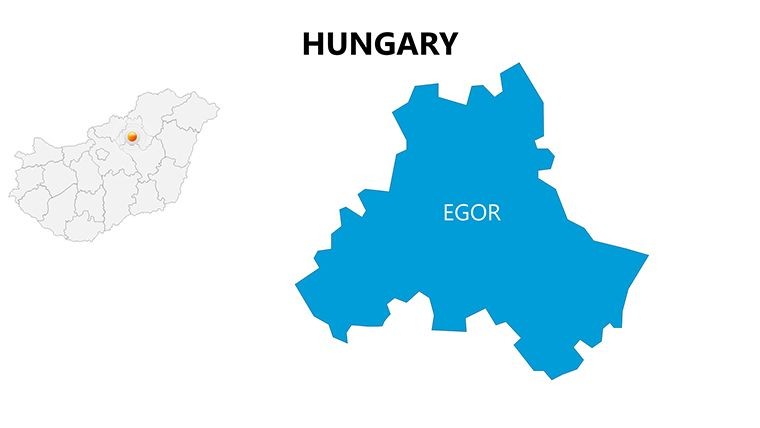
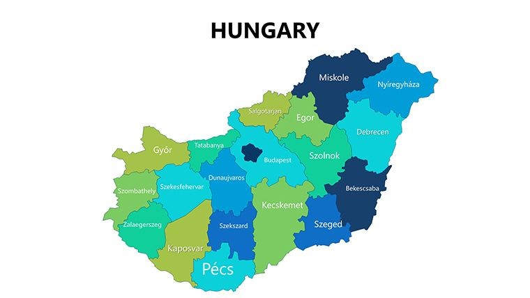
- Regional Depth: 20+ slides dedicated to Hungary's counties, with zoomable details for urban and rural divides.
- Animation Effects: Pre-set fades and builds to animate map reveals, ideal for storytelling in pitches.
- Color and Text Flexibility: Swap hues to reflect seasonal tourism themes - greens for countryside, golds for heritage sites.
- Vector Icons & PNGs: A curated set of 100+ icons, from castles to folk motifs, fully scalable.
- Photo Integration: Placeholder frames for high-res images, enhancing visual appeal without bloating file size.
Unlike standard Google Maps exports, which lack editability, our vector-based approach ensures crisp outputs at any resolution. A Budapest marketing agency recently leveraged these slides for a campaign launch, integrating visitor data to demonstrate ROI - resulting in a 25% uptick in bookings.
Practical Use Cases: Tourism to Trade
Apply this template across scenarios with ease. In tourism, highlight Hungary's spa culture by animating routes from Budapest to Heviz, pairing with infographics on wellness trends. Business analysts can map supply chains through the Great Plain, using editable paths to simulate logistics flows - aligned with EU trade standards.
Educators find value in historical overlays, tracing the Austro-Hungarian Empire's legacy across regions. One university lecturer used it for a seminar on post-WWII reconstruction, layering timelines that engaged students far more than textbooks. For NGOs, it's perfect for environmental reports on the Tisza River basin, with layers for pollution tracking.
Workflow is straightforward: Unzip the file, launch in Keynote, and use the build tools for interactions. Export options include animated GIFs for social media teasers, extending reach beyond live sessions.
Expert Tips to Enhance Your Maps
- Balance Detail and Simplicity: Use grouping to toggle complex layers, preventing overload in short presentations.
- Data Fusion: Embed pie charts on county maps for demographic breakdowns, leveraging Keynote's smart guides.
- Mobile Optimization: Test animations on iPad for on-the-go edits, ensuring portability.
- Narrative Hooks: Start with a full-country flyover slide to set the scenic tone.
These strategies, inspired by presentation gurus like Nancy Duarte, amplify engagement and retention.
Elevate Your Presentations with Precision
This template's trustworthiness stems from its up-to-date cartography, free from distortions common in freeware. Priced at $25, it offers unmatched value, with users noting halved design time for complex decks. Transform your Hungary-focused content from mundane to mesmerizing - download now and navigate towards presentation excellence.
Frequently Asked Questions
Q: How many regions does the template cover?A: All 19 counties and major cities, with granular details for customization.
Q: Are animations compatible with older Keynote versions?A: Yes, built for Keynote 10+, with fallbacks for earlier editions.
Q: Can I add my own photos?A: Easily, via drag-and-drop slots designed for high-res integration.
Q: Is it suitable for web exports?A: Absolutely, export to HTML5 for interactive online versions.
Q: What's the file size?A: Compact at under 10MB, thanks to vector efficiency.
Q: Commercial use allowed?A: Full rights included for business and resale.
Good for
- Project roadmaps and sprint plans
- Product launch timelines
- Quarterly or annual review decks
- Company history and milestone summaries
Licence
reviews
Used this for a school geography presentation and it turned out less boring than usual.
The slide spacing is nice and I didn’t have to fight with alignment.
Some map colors were too dark for printing though.
I grabbed a few layouts for a client territory report and they worked fine.
Simple template but useful when you need maps fast.
FAQ
Will it work in Google Slides?
Are fonts embedded?
Can I use this for client work?
What's the refund policy?
Do you update the template after purchase?
Similar templates
See all Keynote Maps →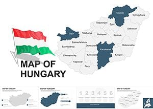
All 44 slides