 Click to zoom
Hawaii Keynote Maps Template: Bring Tropical Insights to Your Audience
| Format | .pptx |
| Slides | 20 unique layouts |
| Aspect ratio | 16:9 |
| Compatibility | PowerPoint |
| Animated | No |
| Language | English |
| License | Commercial |
| File size | — |
| Version | v1.0 |
| Last updated | November 2023 |
What's inside
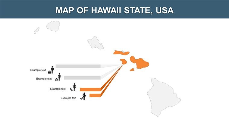
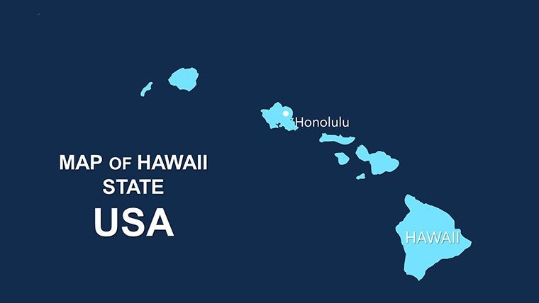
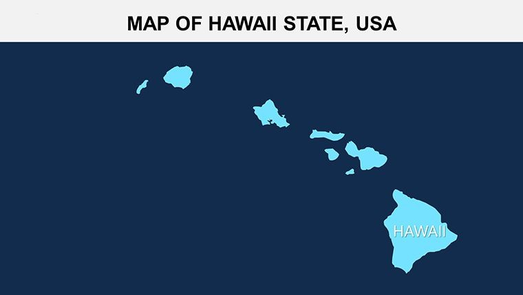
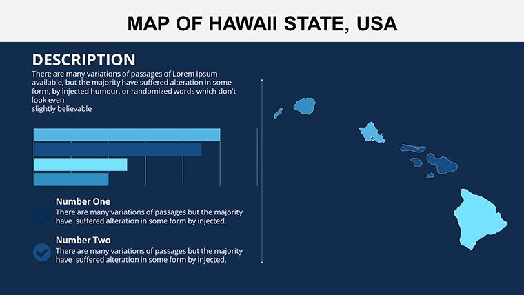
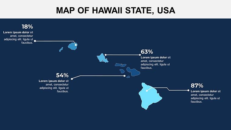
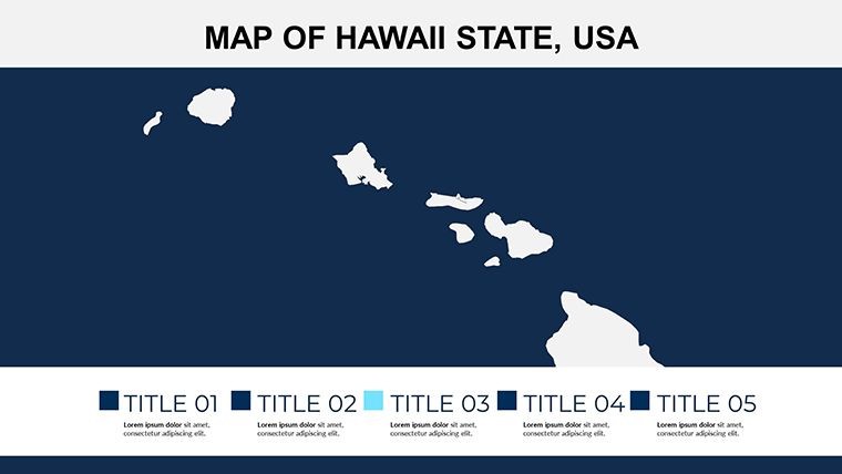
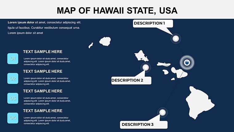
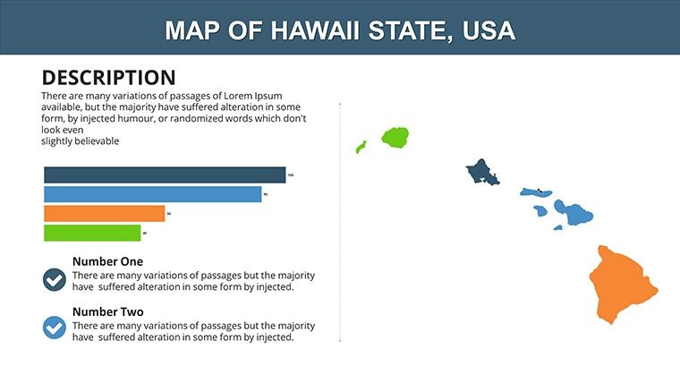
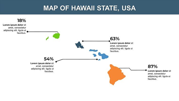
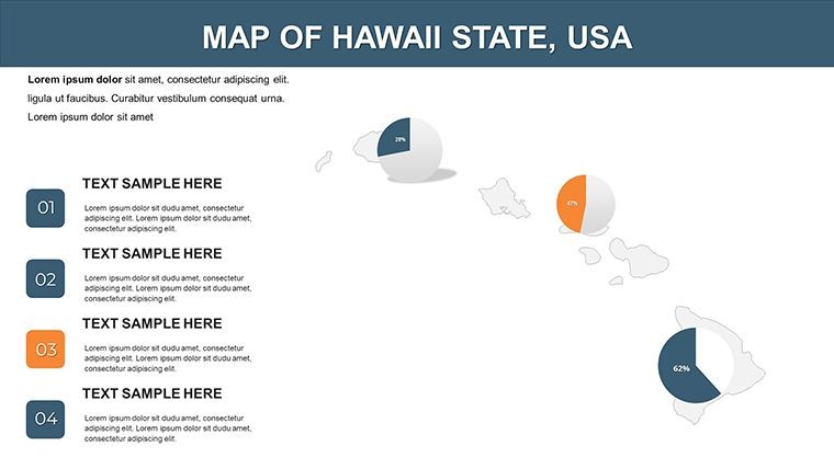
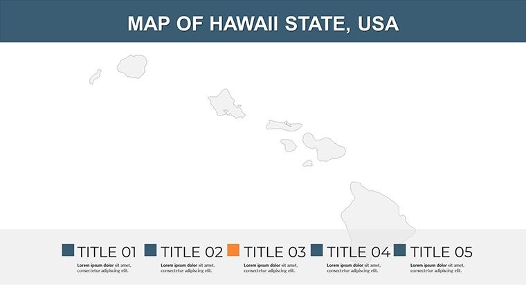
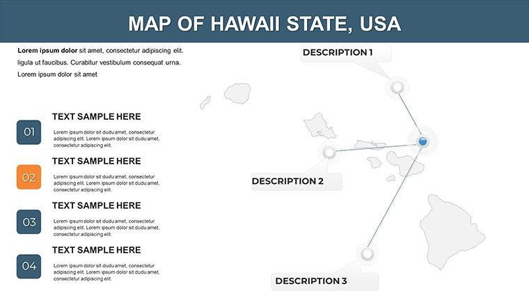
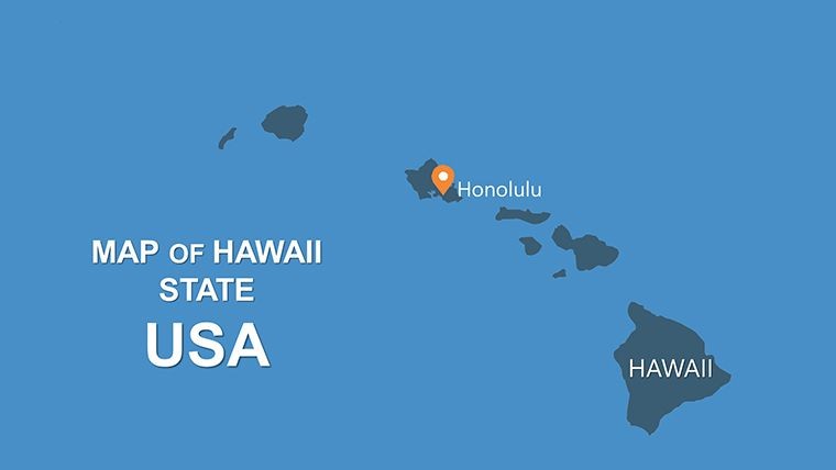
Picture this: You're presenting on Hawaii's volcanic wonders, and your slides transport the room to the lush islands of the Pacific. Our Hawaii Keynote Maps Template does just that, offering 20 meticulously designed, fully editable slides that blend stunning visuals with practical functionality. Tailored for travel agents, environmental scientists, and teachers, this template highlights Hawaii's unique archipelago - from the Big Island's active volcanoes to Oahu's urban pulse. With easy customization options, you can infuse your data on tourism trends or biodiversity hotspots, creating presentations that not only inform but inspire. Forget bland maps; these high-resolution graphics with vivid colors evoke the aloha spirit, making complex topics like climate change impacts on coral reefs accessible and engaging.
Unlock the Power of Customizable Hawaiian Maps in Keynote
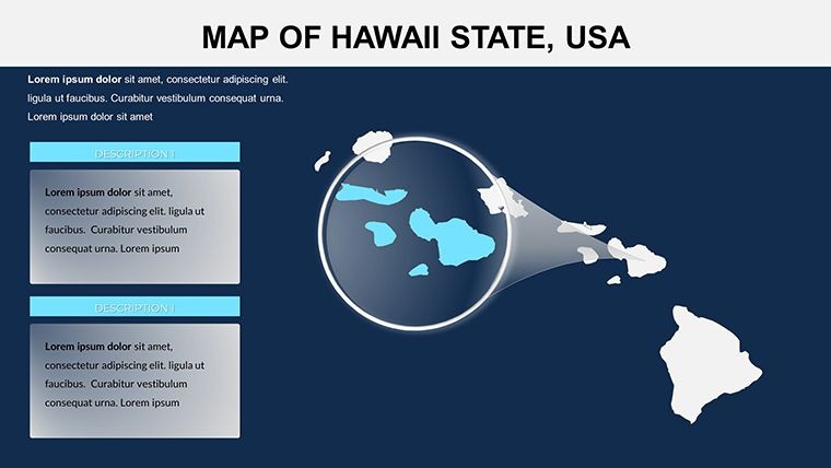
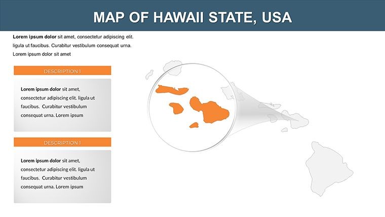
What sets this template apart is its focus on Hawaii's isolated beauty, providing tools to showcase inter-island connections or ecological zones with precision. Professionals in hospitality can map out resort developments on Maui, animating growth patterns to wow investors. Educators might use it to illustrate plate tectonics, with slides zooming into Kilauea for interactive lessons that stick with students long after class. The template's versatility shines in creative pitches too - think filmmakers plotting locations for a Hawaiian-set story, using layered maps to overlay cultural sites like Pearl Harbor. Built for Keynote's ecosystem, it supports seamless transitions and interactive elements, ensuring your narrative flows like the waves on Waikiki Beach. Plus, with included vector icons representing hula dancers or pineapples, you add thematic flair without extra effort.
Essential Features for Dynamic Presentations
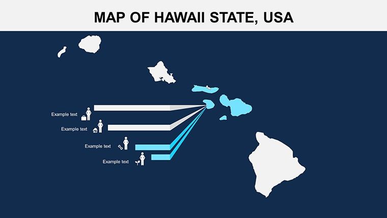
- Vivid Customization: Alter island outlines, color-code regions for rainfall data, or embed photos of beaches to personalize your story.
- Interactive Animations: Build suspense by revealing archipelago details step-by-step, ideal for explaining migration patterns of humpback whales.
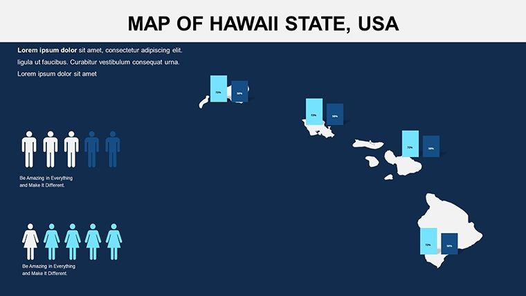
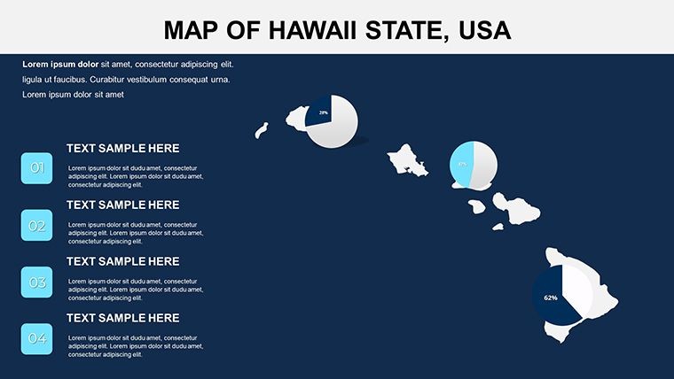
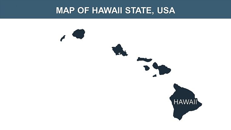
- Diverse Slide Set: From overview maps of all eight islands to detailed views of Honolulu, plus thematic options for economic or environmental data.
- User-Centric Design: Drag-and-drop interface compatible with iOS and macOS Keynote, no steep learning curve required.
- Bonus Assets: PNG files and icons for quick enhancements, like marking national parks or surf spots.
Drawing from expertise in geographic visualization, akin to tools used by the Hawaii Tourism Authority, this template ensures your presentations meet professional standards while sparking curiosity.
Practical Use Cases Tailored to Hawaii's Unique Landscape
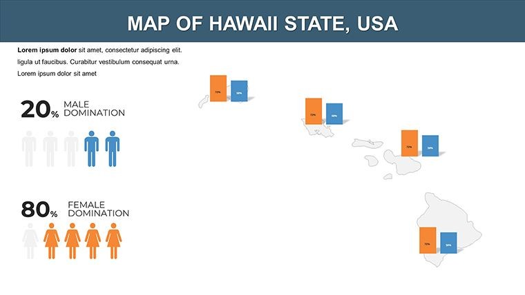
For a sustainability consultant, this template could map out renewable energy projects, highlighting wind farms on Lanai with animated overlays showing energy output. In education, transform geography units by integrating maps with historical timelines of Polynesian voyages, making learning immersive. Business users might compare tourism stats across islands, using color gradients to show visitor influx post-pandemic, supported by data from reliable sources like the U.S. Census Bureau. Unlike standard Keynote defaults, these maps offer depth - think adding hyperlinks to external resources on Hawaiian culture for enriched viewer experiences. In seminars, public speakers can use them to discuss conservation efforts, perhaps focusing on the Papahānaumokuākea Marine National Monument, with visuals that underscore its vast scale.
Effortless Customization Workflow
- Launch the template in Keynote and choose your starting island map.
- Adjust palettes to reflect themes, like blues for ocean conservation data.
- Add annotations for key points, such as labeling volcanoes with eruption histories.
- Incorporate builds and transitions to animate data reveals dynamically.
- Preview and refine, then share or present with confidence.
This process integrates well with apps like Photos for image imports, outpacing competitors by offering Hawaii-specific accuracy that generic maps can't match.
Pro Tips to Maximize Your Hawaiian Presentation Impact
Enhance engagement by layering audio clips of ocean sounds during transitions, or pair with charts showing GDP from agriculture like macadamia nuts. Keep designs clean - use negative space around islands to emphasize isolation themes. For virtual delivery, ensure high-contrast colors for screen sharing. Inspired by successful campaigns from organizations like the Nature Conservancy, these tips turn your slides into memorable experiences. Trust this template to convey authority, whether discussing invasive species or luxury travel trends.
Don't wait - download the Hawaii Keynote Maps Template now and infuse your presentations with island magic. Your next talk could be the one that transports everyone to paradise.
Frequently Asked Questions
Are the island maps in this Hawaii template fully scalable? Yes, vector-based designs ensure they remain sharp at any size, perfect for detailed zooms. Can I integrate this with other Keynote themes? Easily - mix and match slides or colors to fit your existing presentations. Is it suitable for environmental data visualization? Absolutely, with layers for overlays like sea level rise projections. What devices support this template? Compatible with Mac, iPad, and iPhone running Keynote. How do I handle multi-island comparisons? Use dedicated slides with side-by-side views and customizable labels. Are there export options for non-Keynote users? Export to PDF or PowerPoint for broader sharing.Good for
- Project roadmaps and sprint plans
- Product launch timelines
- Quarterly or annual review decks
- Company history and milestone summaries
Licence
reviews
Needed editable region slides fast and this did the trick.
The location markers looked clear even on a projector.
I had to adjust a few fonts manually.
Pretty useful template for simple presentations.
Used several map pages in my internship report.
FAQ
Will it work in Google Slides?
Are fonts embedded?
Can I use this for client work?
What's the refund policy?
Do you update the template after purchase?
Similar templates
See all Keynote Maps →
All 20 slides