 Click to zoom
Globe World Map Keynote: Chart the World with Precision
| Format | .pptx |
| Slides | 12 unique layouts |
| Aspect ratio | 16:9 |
| Compatibility | PowerPoint |
| Animated | No |
| Language | English |
| License | Commercial |
| File size | — |
| Version | v1.0 |
| Last updated | November 2020 |
What's inside
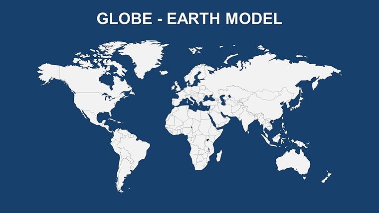
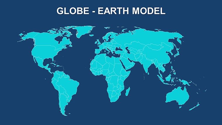
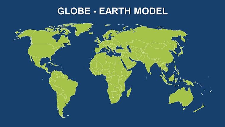
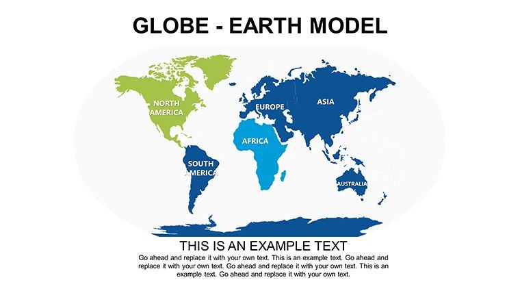
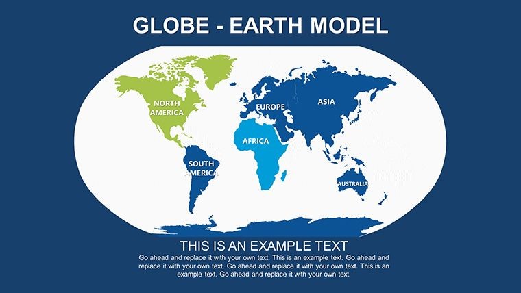
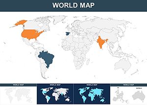
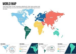
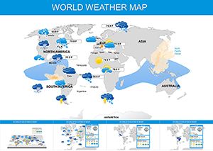
Ever felt the frustration of a fuzzy world map undermining your big reveal? Say goodbye to that with our Globe World Map Keynote template, where every continent leaps off the slide in stunning high resolution. Tailored for Keynote enthusiasts - from globe-trotting executives to passionate geography buffs - this 12-slide powerhouse delivers a comprehensive view of our planet, complete with labeled continents like the sprawling Eurasia or the icy expanse of Antarctica. It's more than a map; it's your shortcut to authoritative, eye-catching presentations that stick.
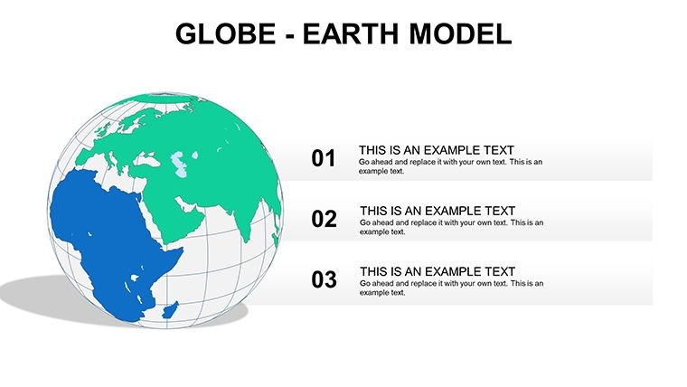
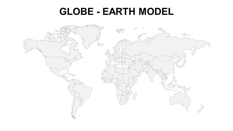
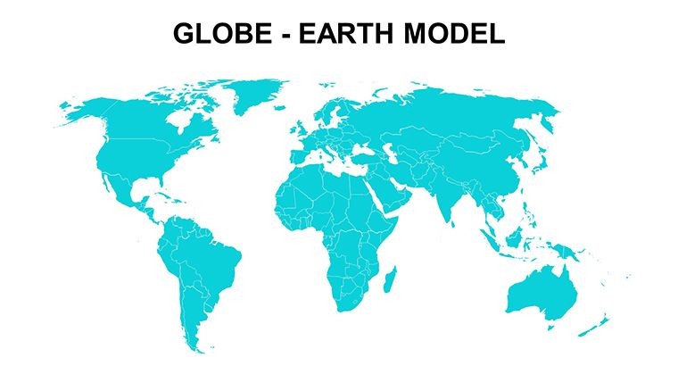
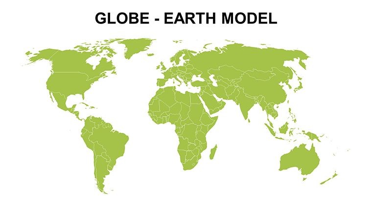
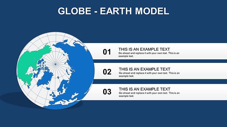
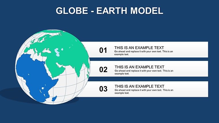
Crafted with geographical fidelity in mind, drawing from sources like National Geographic's boundary standards, this template ensures accuracy without the research grind. Slide into action with the equatorial globe view on Slide 1, where oceans shimmer in deep blues and landmasses pop against them. Then, explore conditional boundaries - like the Panama Canal's subtle divide - rendered with elegant lines that invite closer inspection. The beauty lies in its editability: Highlight trade routes with glowing paths, or shade regions for demographic shifts, all while maintaining that professional polish that screams expertise.
For teams navigating global challenges, this template is a revelation. Envision a supply chain analyst using Slide 7 to trace raw material flows from Australian mines to European factories, layering in real-time shipment icons for dynamic storytelling. Or, in academic settings, animate continent formations on Slide 4 to engage students in plate tectonics discussions, fostering deeper understanding through visual narrative. Benefits abound: Reduce design time by half, enhance retention with spatial memory cues (backed by cognitive studies from Harvard), and foster collaboration by exporting seamlessly to Google Slides for remote reviews.
Standout Features for Seamless Global Visualization
At the heart of this template are features that prioritize both form and function. With 12 meticulously designed slides, you'll navigate from macro to micro effortlessly. The core globe projection supports 360-degree rotations via Keynote's transitions, while continent close-ups offer layered transparency for overlaying climate data or population stats.
- High-Res Vector Graphics: 4K-ready details, from fjords in Scandinavia to atolls in the Pacific - no blur on any screen.
- Boundary Precision: Accurate delineations, including disputed zones with neutral shading options.
- Labeling Toolkit: Drag-and-drop text boxes with auto-fit fonts, plus multilingual support for international audiences.
- Animation Presets: Built-in zooms and pans that mimic Google Earth, adding cinematic flair.
- Integration Hooks: Embed live web maps or charts from Excel for data-driven updates.
A marketing director at a travel agency raved about adapting Slide 9 for a destination campaign, coloring hotspots by visitor trends and linking to booking portals - converting views to voyages overnight.
Versatile Use Cases Across Industries
Unlock applications that span the spectrum. In corporate strategy sessions, leverage the full-world slide to map competitor footprints, using pie-chart overlays for market share breakdowns. For environmental advocates, Slide 11's polar emphasis visualizes ice melt projections, aligning with IPCC report visuals for credible advocacy.
Step-by-step for a trade expo pitch: Begin with the globe overview to contextualize, zoom to key regions on Slides 3-5 for tariff specifics, and conclude with a unified view annotated with opportunity flags. Versus basic drawing tools, this shaves weeks off prep, letting you focus on the message.
- Load and Layer: Import geo-data via Keynote's media browser.
- Refine Boundaries: Use shape tools to adjust for custom territories.
- Enhance with Effects: Apply shadows for depth, simulating 3D globes.
- Distribute Dynamically: Share as interactive PDFs for stakeholder feedback.
It's a nod to explorers like Magellan - now, digitally, for modern quests.
Expert Tips to Globe-Trot Your Presentations
Maximize impact by syncing maps with narratives: Use the 'rule of thirds' for balanced compositions, placing key data at intersection points. For humor in lighter talks, quip about Antarctica's 'unclaimed' status while highlighting research hubs. Ensure inclusivity with color-blind friendly palettes, per accessibility best practices.
Pair with apps like ArcGIS for pro-level exports, or simply Keynote's hyperlinks for deeper dives. Secure your Globe World Map template now - transform flat facts into round-the-world wonders.
Frequently Asked Questions
Does this template include island details?
Yes, from the British Isles to remote Pacific outposts, all captured in high fidelity.
Is it suitable for mobile presentations?
Optimized for iPad Keynote, with responsive elements that scale perfectly.
How editable are the continent labels?
Fully - resize, rotate, or translate them effortlessly.
Can I add my own projections?
Indeed, import custom bases and merge with existing layers.
Good for
- Project roadmaps and sprint plans
- Product launch timelines
- Quarterly or annual review decks
- Company history and milestone summaries
Licence
reviews
Used this for an international sales update.
The route arrows were actually useful.
I liked the clean map layouts without too many effects.
Some slide titles were awkwardly placed.
Pretty okay overall for business use.
FAQ
Will it work in Google Slides?
Are fonts embedded?
Can I use this for client work?
What's the refund policy?
Do you update the template after purchase?
Similar templates
See all Keynote Maps →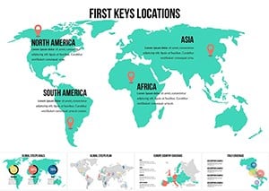
All 12 slides