 Click to zoom
Globe Earth Model PowerPoint Maps Template: Download PPT
| Format | .pptx |
| Slides | 12 unique layouts |
| Aspect ratio | 16:9 |
| Compatibility | PowerPoint |
| Animated | No |
| Language | English |
| License | Commercial |
| File size | — |
| Version | v1.0 |
| Last updated | May 2024 |
What's inside
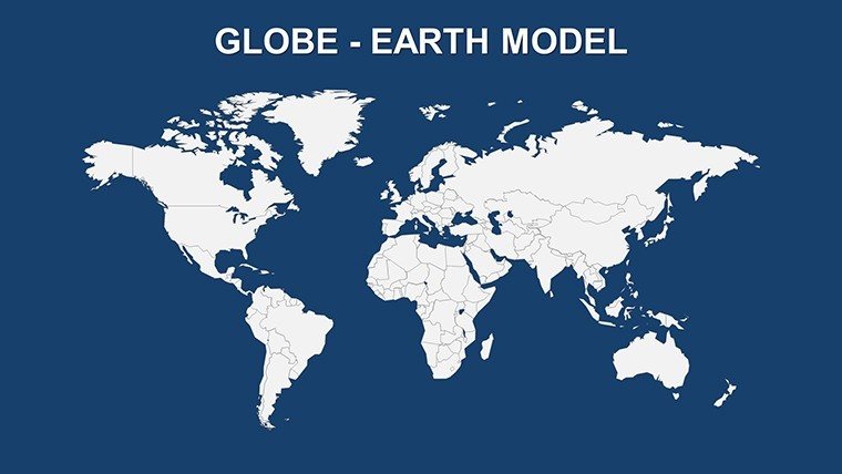
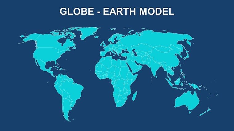
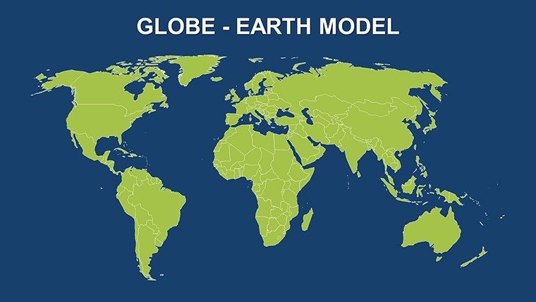
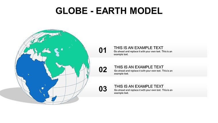
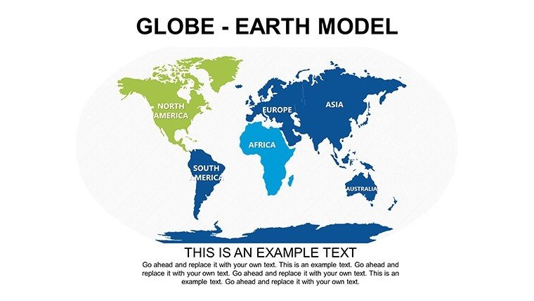
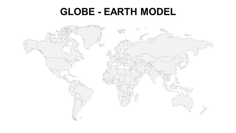
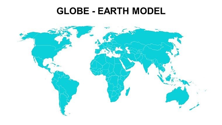
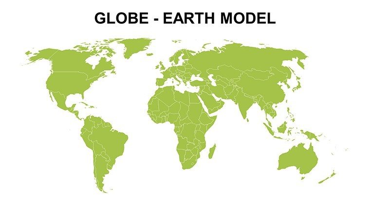
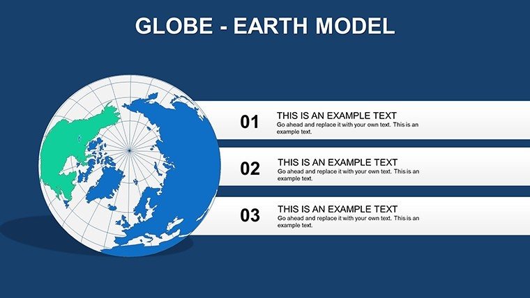
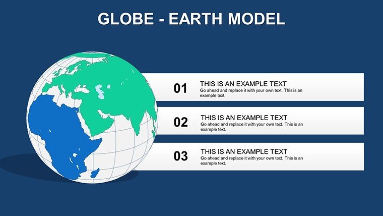
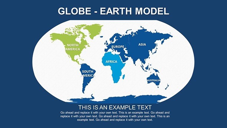
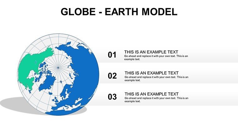
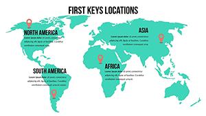
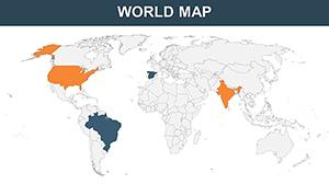
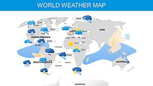
Envision holding the world in your hands - or at least on your slides. The Globe Earth Model PowerPoint Maps Template brings the planet to your presentations with 12 editable slides that capture Earth's intricate geography in stunning detail. From continents drifting across oceans to regional close-ups, this template is a boon for educators explaining tectonic shifts, researchers plotting climate patterns, or business leaders discussing international trade. With color variations in grey, green, and blue, it adapts to your mood or message, turning abstract data into tangible visuals that resonate globally.
This template tackles the complexity of world maps head-on. Standard tools often distort proportions or lack interactivity, but here, you get authentic representations that honor cartographic integrity, like Mercator alternatives for better equatorial accuracy. It's ideal for conveying big-picture ideas, such as sustainable development goals aligned with UN initiatives, without overwhelming your audience.
Core Features for Global Storytelling
The 12 slides are packed with interactive potential: zoom into Asia's megacities or pan across the Atlantic for trade route analyses. High-quality graphics ensure every ocean trench and mountain peak is crisp, supporting professional-grade outputs.
- Color-Themed Variations: Choose grey for neutral analyses, green for environmental themes, or blue for oceanic focuses.
- Interactive Elements: Built-in zooming and highlighting to focus on specific countries or regions dynamically.
- Customization Depth: Modify overlays for data like population density or GDP, using PowerPoint's animation tools.
- Seamless Integration: Fits effortlessly into existing decks, with no need for external software.
These elements foster creativity - researchers can overlay satellite data mimics for climate talks, drawing from IPCC reports for credibility.
Diverse Applications in a Connected World
For business meetings, map out supply chains from China's factories to European markets, using blue-themed slides to emphasize maritime routes. A real example: Logistics firms have used globe models to simulate disruptions like Suez Canal blockages, aiding contingency planning.
In education, illuminate geographical concepts - teach about biodiversity by highlighting the Amazon on green maps, or discuss geopolitics with grey neutrals for unbiased views. This aligns with curricula from organizations like the International Geographical Union, enhancing lesson interactivity.
Researchers shine with demographic visualizations: Plot migration patterns across continents, integrating data from World Bank sources for authoritative insights. Conferences benefit too, where speakers use panning features to transition smoothly between global overviews and regional deep dives.
Pro Tips to Enhance Your Globe Presentations
Start with a full-globe slide for context, then animate rotations to reveal data layers. Use color psychology - green evokes sustainability for eco-presentations. Avoid clutter by employing tooltips for detailed info, inspired by UI design principles from experts like Jakob Nielsen.
Versus basic globes, this template's editability prevents static boredom, allowing real-time adjustments during Q&A. Link to external resources subtly, like embedding hyperlinks to NASA imagery for added depth.
The Unique Edge of Earth Model Maps
With only 12 focused slides, it avoids bloat while providing versatility unmatched by free alternatives, which often suffer from low resolution. Users appreciate the balance, reporting heightened audience retention in global-themed talks.
Unlock planetary perspectives now - download this template and orbit your ideas into new dimensions.
Frequently Asked Questions
What color options are available?
Grey, green, and blue themes for versatile presentation styles.
Can I add interactive elements?
Yes, including zooming, panning, and clickable regions.
Is the template accurate geographically?
Absolutely, based on standard cartographic projections.
How do I integrate data?
Easily overlay charts or import from Excel for dynamic visuals.
Compatible with older PowerPoint versions?
Works with PowerPoint 2010 and newer for broad accessibility.
Any usage restrictions?
None - free for personal, educational, or commercial use.
Good for
- Project roadmaps and sprint plans
- Product launch timelines
- Quarterly or annual review decks
- Company history and milestone summaries
Licence
reviews
Used it for a regional business analysis.
The map markers helped explain our data better.
Slides looked organized after quick edits.
A couple graphics were hard to resize.
Decent template if you need maps fast.
FAQ
Will it work in Google Slides?
Are fonts embedded?
Can I use this for client work?
What's the refund policy?
Do you update the template after purchase?
Similar templates
See all PowerPoint Maps →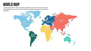
All 12 slides