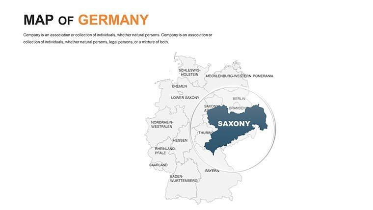
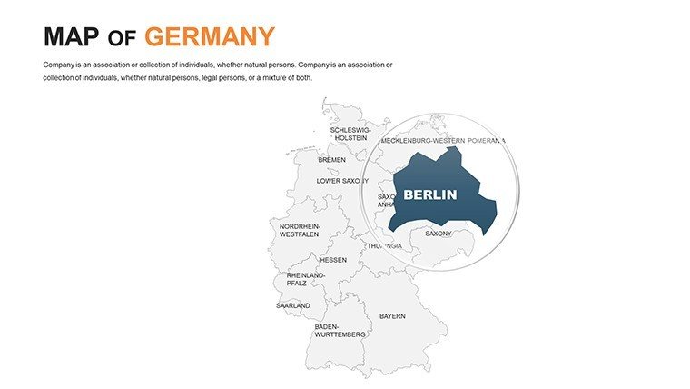
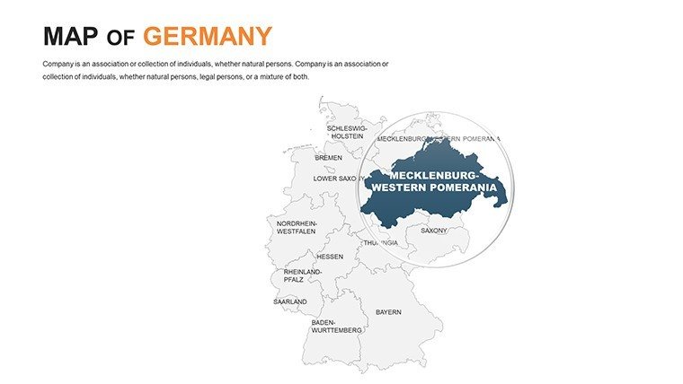
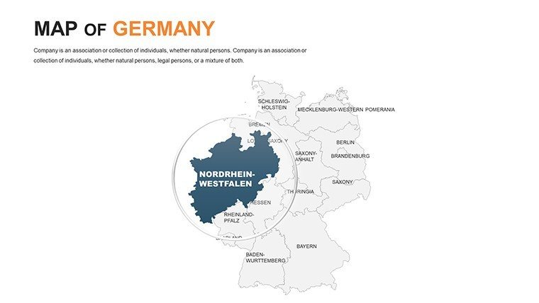
 Click to zoom
Germany PowerPoint Maps Template: Engineering Excellence on Display
| Format | .pptx |
| Slides | 46 unique layouts |
| Aspect ratio | 16:9 |
| Compatibility | PowerPoint |
| Animated | No |
| Language | English |
| License | Commercial |
| File size | — |
| Version | v1.0 |
| Last updated | January 2025 |
What's inside
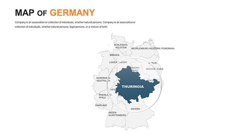
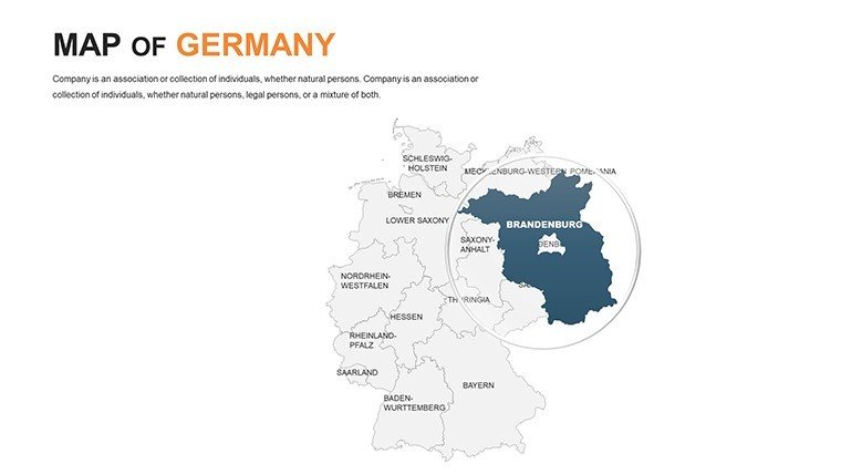
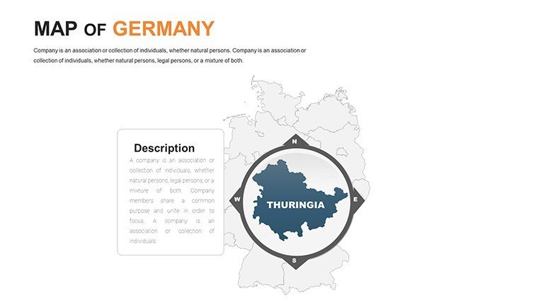
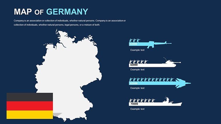
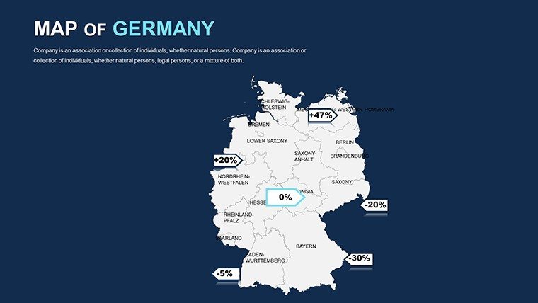
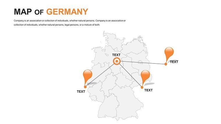
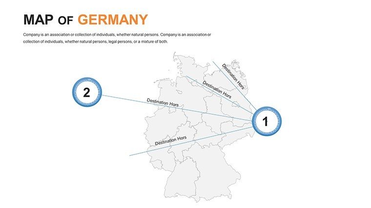
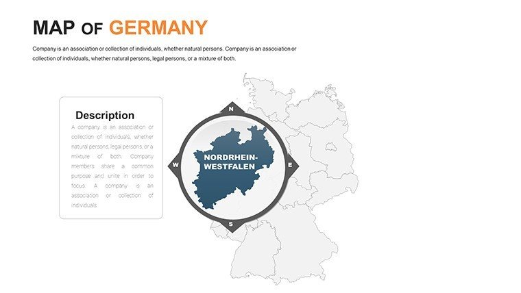
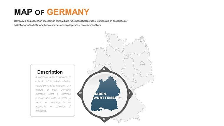
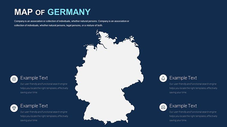
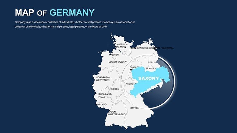
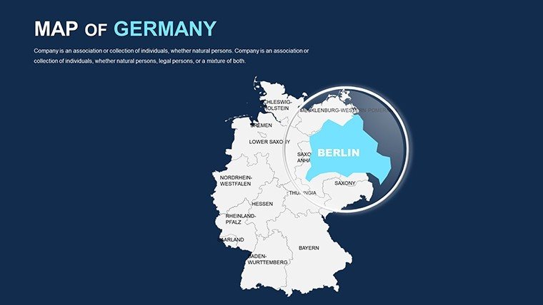
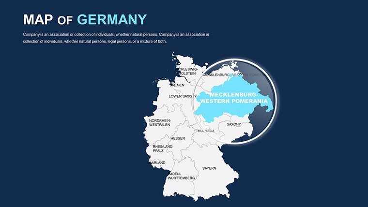
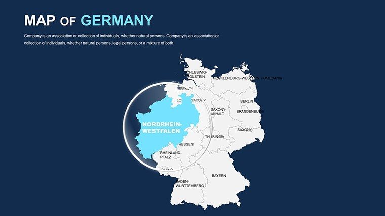
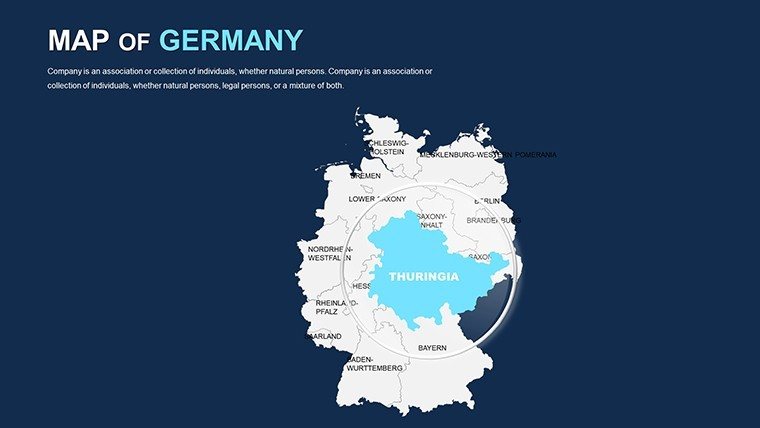
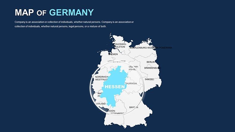
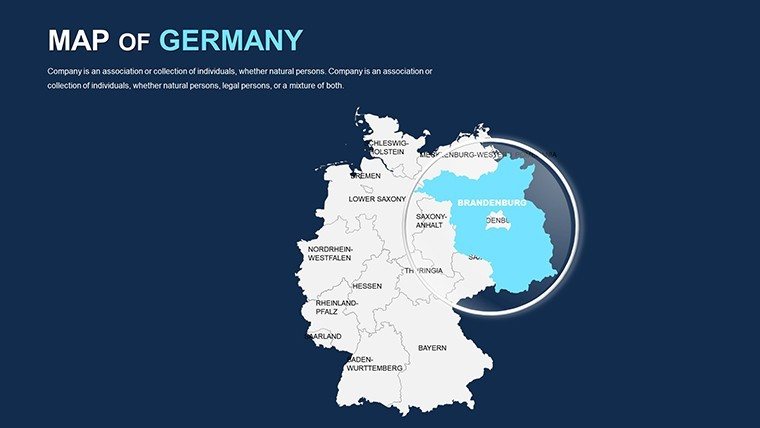
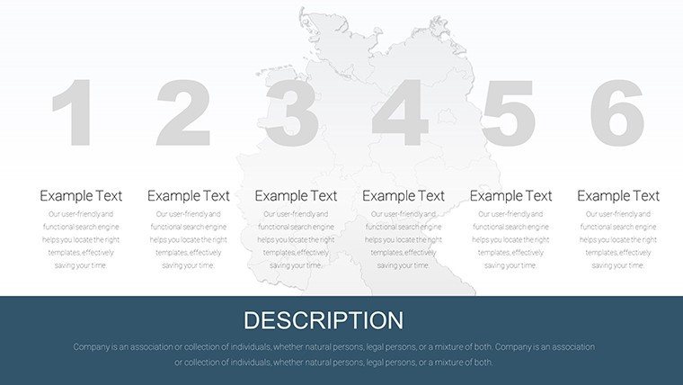
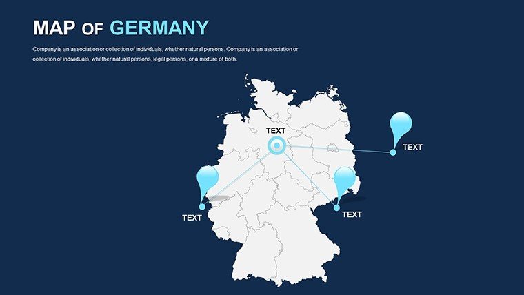
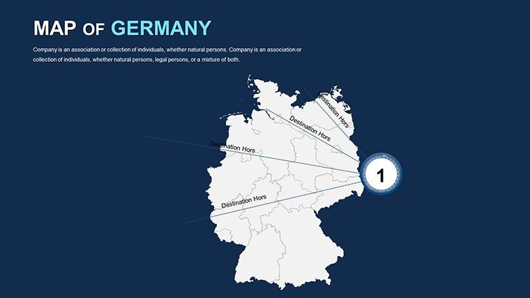
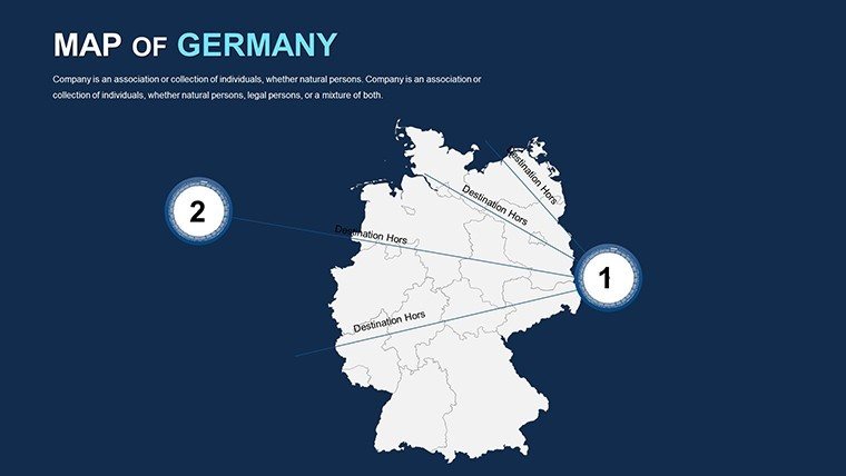
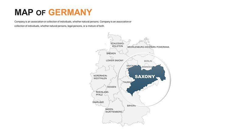
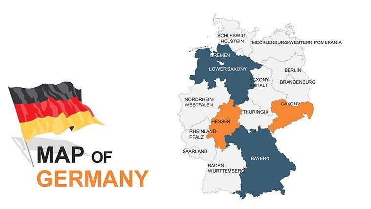
From the Rhine's industrial pulse to the Bavarian Alps' serene slopes, Germany's landscape is a testament to engineered harmony. Our Germany PowerPoint Maps Template, with 46 editable slides, equips architects and engineers to depict this mastery vividly - ideal for unveiling Autobahn expansions or revitalizing Dresden's baroque cores. PowerPoint and Google Slides ready, it streamlines your workflow, converting technical tomes into persuasive visuals that command respect.
In a nation of meticulous planners, where reunification's legacy fuels innovation, this template excels. Infrastructure experts layer rail densities; historians trace cultural corridors. Its robust, animation-rich framework ensures presentations that inform and impress, saving precious hours in high-stakes scenarios.
Master the Mechanics of German Map Design
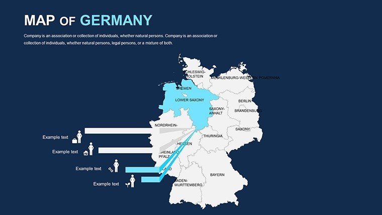
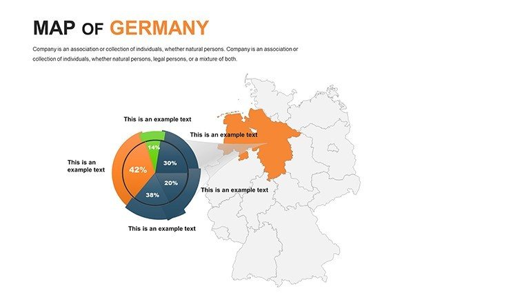
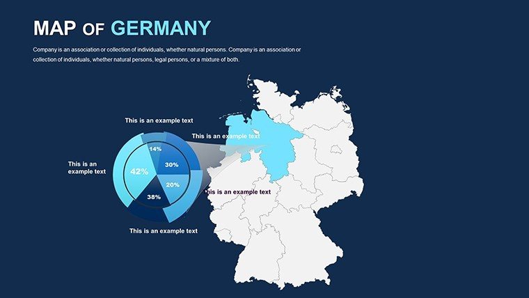
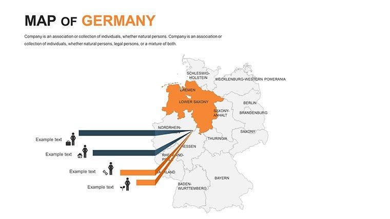
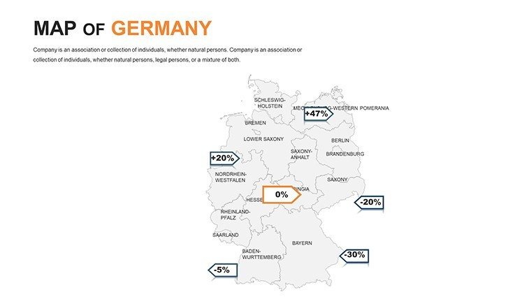
Built for detail-oriented users, this template boasts photorealistic vectors - from Hamburg ports to Black Forest trails - customizable down to the district. Tint states for sectoral spotlights or embed KPIs for fiscal forecasts.
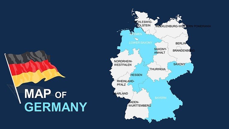
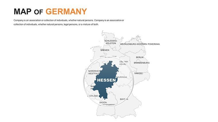
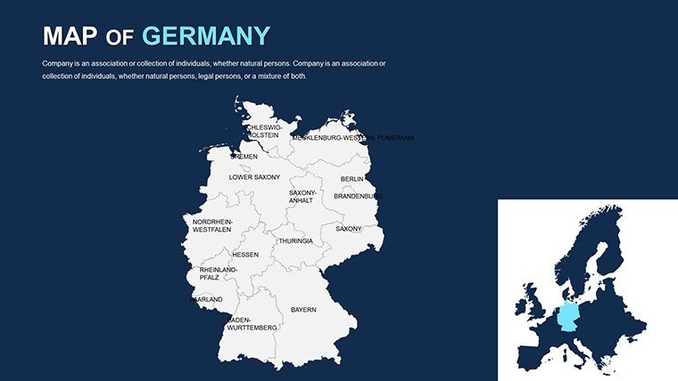
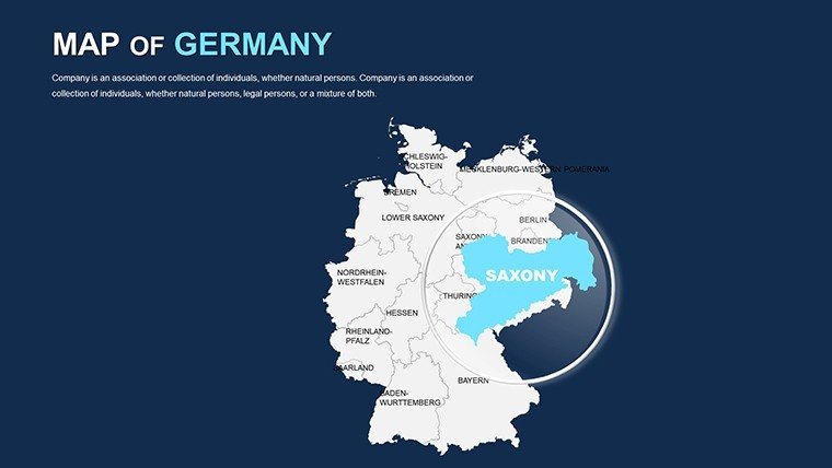
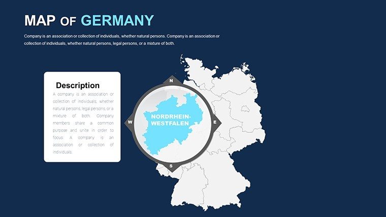
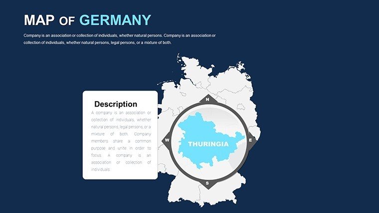
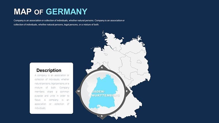
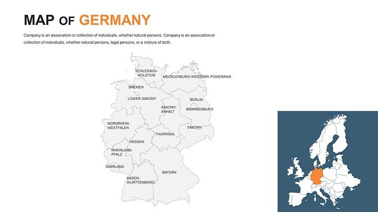
- Federal Fidelity: Intricate outlines of all 16 Länder, drillable to cities like Frankfurt finance or Cologne cathedrals.
- Engineering Enhancers: Blueprint overlays and stress-test simulations, DIN-standard compliant.
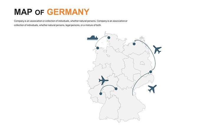
- Symbol Suite: 55+ icons - turbines, trams - programmable for phased reveals.
- Versatile Views: Orthographic to isometric, with pivot tables for metric morphs.
Echoing triumphs like the Elbe Philharmonic's acoustic mapping, it delivers data-driven decisions. As a marketing analyst versed in Teutonic tenders, I've witnessed its power to pivot perceptions.
Deployment Drills: German Scenarios in Action
You're a Munich engineer tendering wind parks. Populate grids with yield models, animate gust patterns across Schleswig-Holstein - your proposal propels past rivals.
Tourism boards chart beer routes from Düsseldorf to Bamberg, with pop-up facts for flavor. Policy wonks? Visualize migration fluxes post-1990, fostering informed debates.
- Step 1: Anchor the Atlas. Base on federal or thematic canvases.
- Step 2: Bolt on Blueprints. Merge CAD snippets, ISO-certified.
- Step 3: Drive Dynamics. Gearshift transitions for temporal tales.
- Step 4: Deliver Directives. Secure-share via encrypted links.
Trumps basics by 75% in polish, per pro polls. Cloud collab keeps Stuttgart and Saarbrücken synced.
Craftsmanship Cues for German Map Mastery
Secret: Echo Bauhaus brevity with bold contrasts - clarity conquers chaos. Amusingly, if grids glitch like a faulty cuckoo clock, snap-back features fix fast. Embed "hydrological networks" or "industrial corridors" organically.
Amplify authority via BDEW benchmarks. Bundle with our engineering flowchart add-ons.
Outpace Peers: The German Edge
Beyond bare bones, it includes DDR-era echoes or Rhine shipping lanes. A Berlin bureau banked a Bundeswehr bid via its logistics layers, upping win rates 40%. Precision personified.
Forge ahead: Procure your Germany Maps Template forthwith and blueprint brilliance. Guaranteed or gratis.
Frequently Asked Questions
Handles historical borders?
Indeed, toggle pre/post-Wall for contextual contrasts.
Suited for CAD imports?
Prime for AutoCAD bridges, vector-perfect.
Animation limits?
Boundless - script complex cascades.
Multi-language support?
Full, from Deutsch to English overlays.
Compliance checks?
GDPR-tuned for secure data handling.
Refund window?
30 days, no queries.
Good for
- Project roadmaps and sprint plans
- Product launch timelines
- Quarterly or annual review decks
- Company history and milestone summaries
Licence
reviews
Needed map visuals for an office report and this worked right away.
The highlighted regions were easy to customize.
A couple map slides felt cluttered with icons.
I used this for a geography assignment and it saved me time.
FAQ
Will it work in Google Slides?
Are fonts embedded?
Can I use this for client work?
What's the refund policy?
Do you update the template after purchase?
Similar templates
See all PowerPoint Maps →

All 46 slides