 Click to zoom
Editable Zimbabwe Keynote Maps: Professional Templates
| Format | .pptx |
| Slides | 36 unique layouts |
| Aspect ratio | 16:9 |
| Compatibility | PowerPoint |
| Animated | No |
| Language | English |
| License | Commercial |
| File size | — |
| Version | v1.0 |
| Last updated | February 2022 |
What's inside
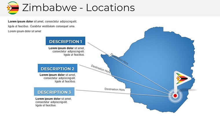
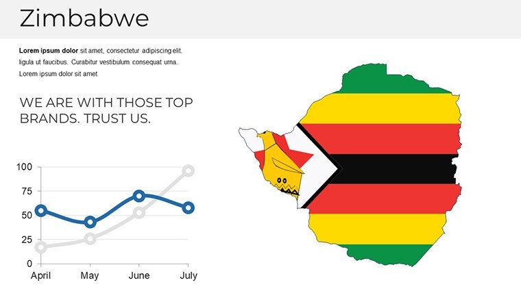
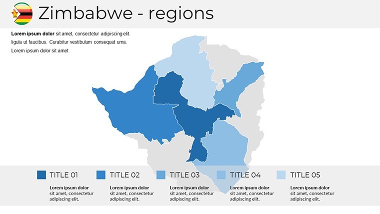
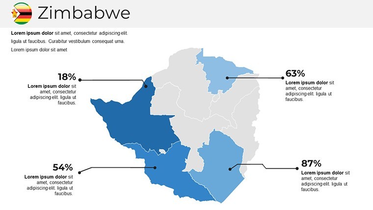
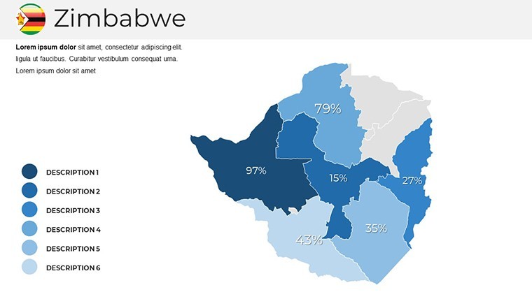
Step into the realm of seamless presentation design with our Zimbabwe Keynote Maps template, tailored for those who demand precision and creativity. Nestled in southern Africa, Zimbabwe's geography - from the majestic Victoria Falls to the bustling streets of Harare - comes alive in 36 editable slides. This template is more than a tool; it's a catalyst for turning complex data into compelling narratives. Created by design specialists versed in cartographic standards, it draws inspiration from real applications in sectors like agriculture and tourism. Whether you're a consultant mapping economic zones or a lecturer illustrating historical events, these maps provide the foundation for presentations that inform and inspire, ensuring your audience grasps the essence of Zimbabwe's dynamic landscape.
Unlocking the Potential of Zimbabwe's Geography in Your Slides
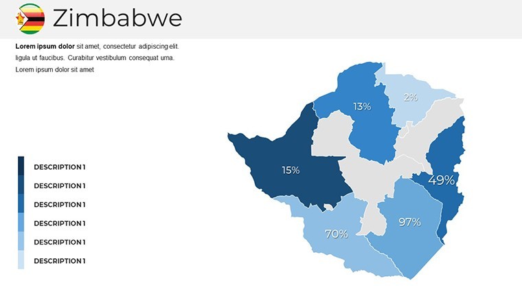
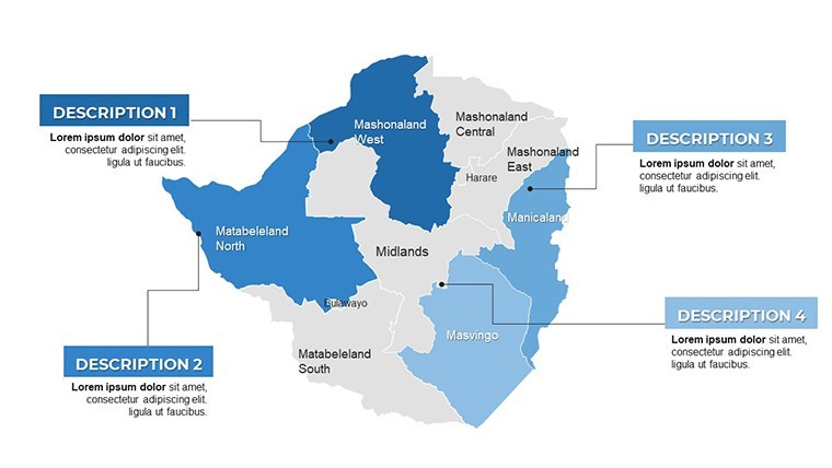
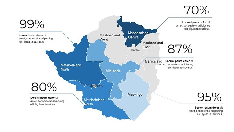
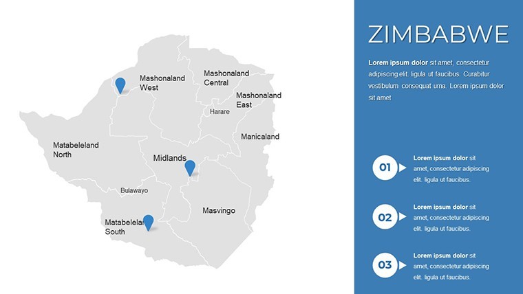
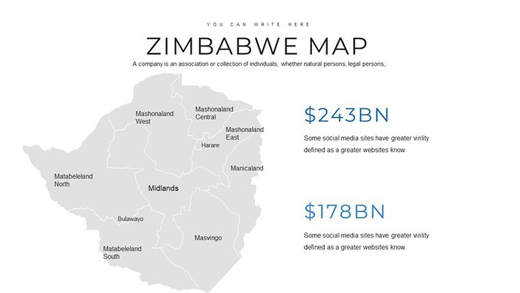
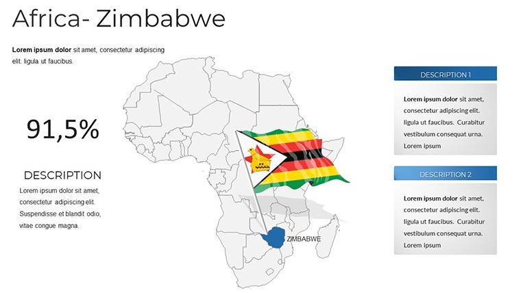
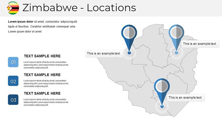
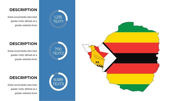
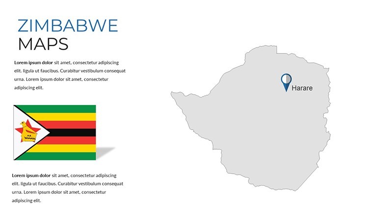
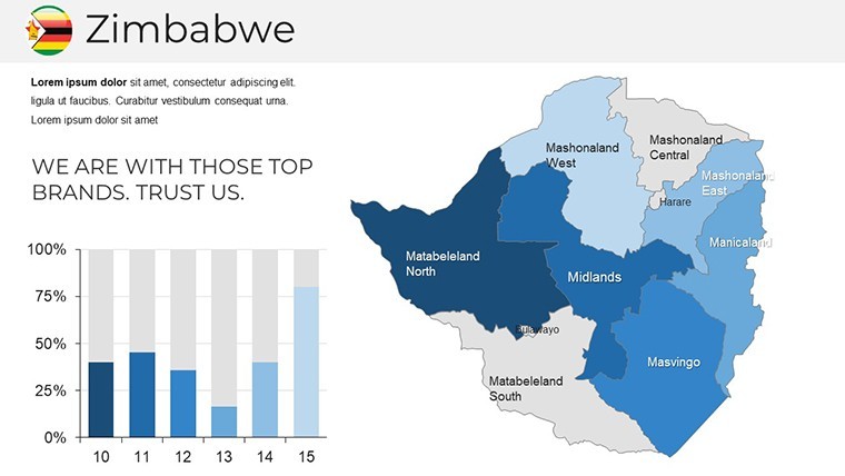
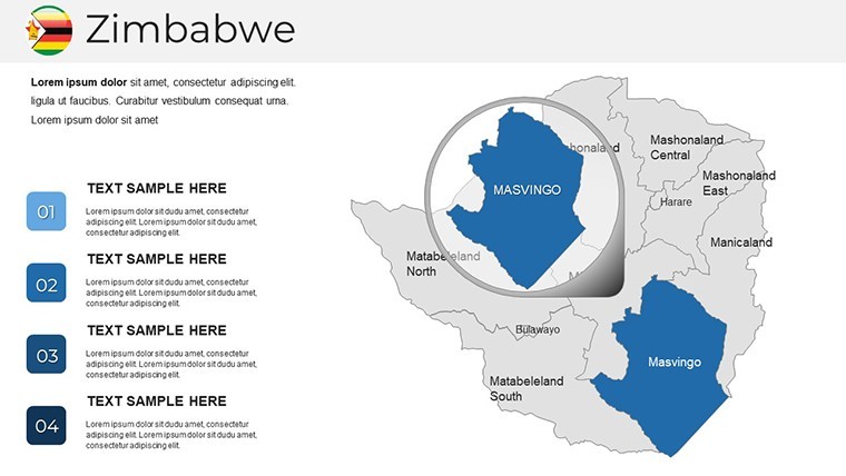
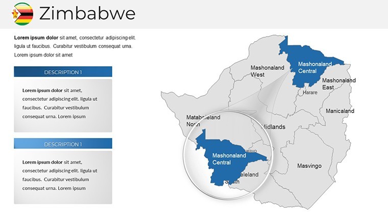
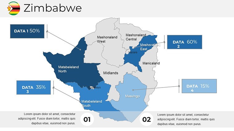
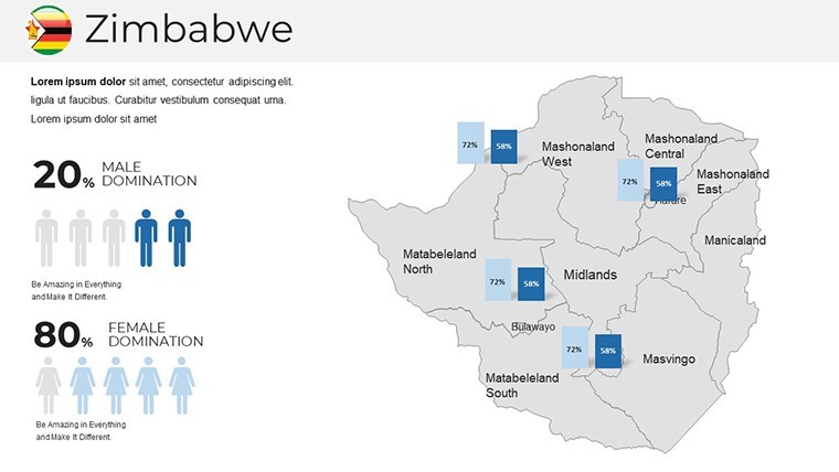
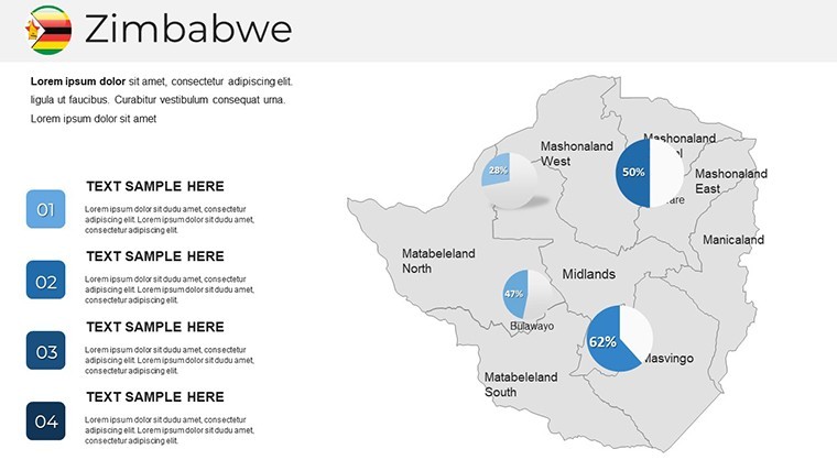
Zimbabwe's position, bordered by Zambia, Mozambique, South Africa, and Botswana, offers rich opportunities for visual exploration. Our template captures this with editable political and regional maps, allowing you to highlight provinces like Mashonaland or Matabeleland with ease. Unlike standard Keynote tools, these pre-designed slides incorporate smart features for quick edits, saving hours of manual work. For instance, agribusiness firms can use them to plot crop distribution, aligning with data from the Food and Agriculture Organization (FAO) for credibility. The clean, modern style ensures your presentations look polished, fostering trust and engagement in high-stakes environments.
Standout Features for Effortless Customization
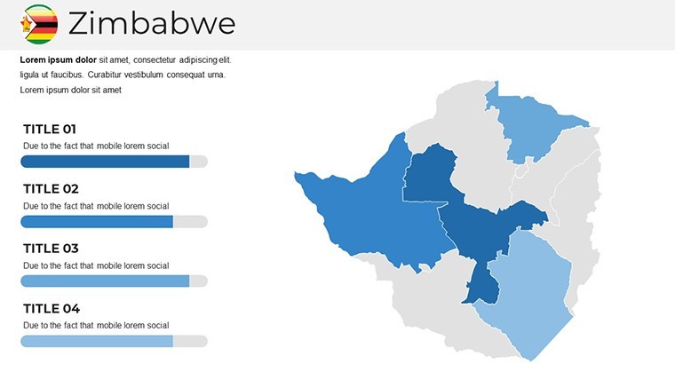
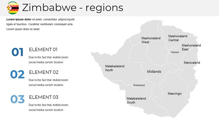
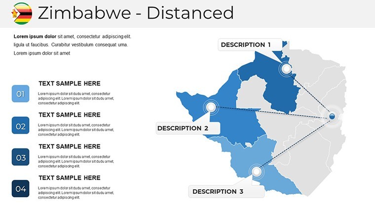
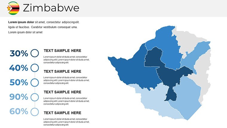
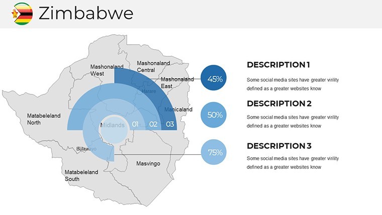
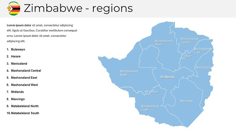
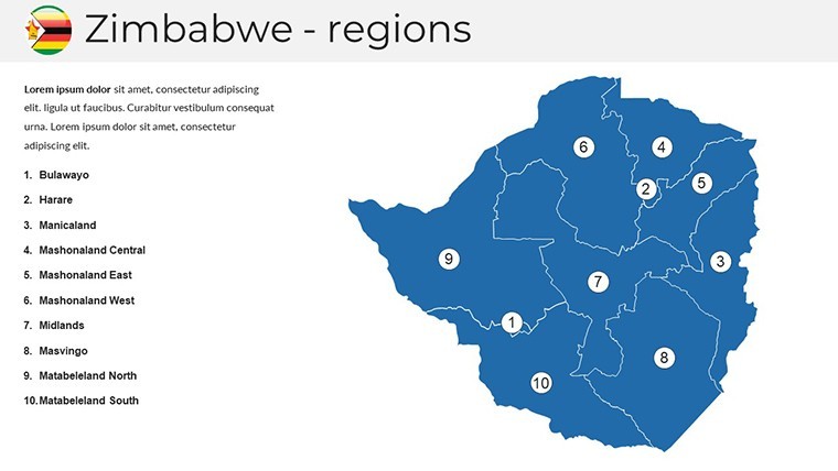
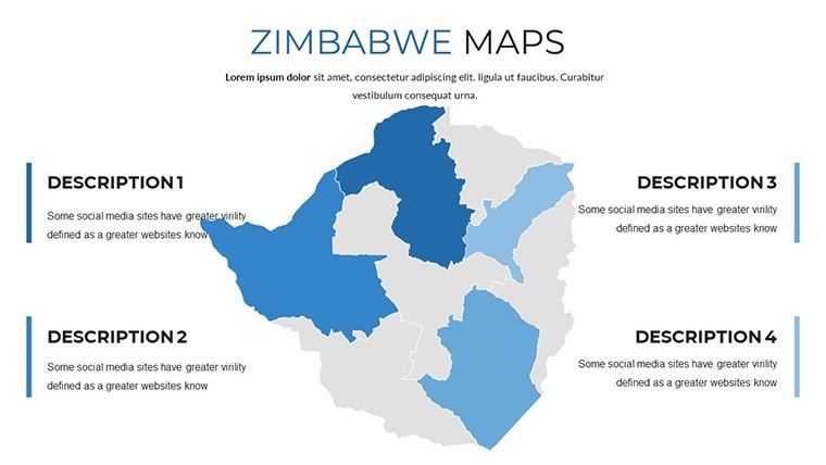
- Political and Editable Maps: Break down Zimbabwe into its 10 provinces, with options to color-code for elections, resources, or demographics.
- Handcrafted Infographics: Include symbols for landmarks like Great Zimbabwe ruins, scalable without distortion for detailed zooms.
- Wide-Screen Compatibility: Optimized for modern displays, with custom animations to unveil data layers progressively.
- Free Font Integration: Use accessible fonts for labels, ensuring consistency across devices.
- Multipurpose Slides: From simple overviews to complex diagrams, adapt for any theme without starting from scratch.
These elements are honed from user insights, much like those in award-winning presentations at conferences such as the African Union summits, where visual clarity drives policy discussions.
Practical Scenarios: Bringing Maps to Life
Envision a wildlife conservationist using these maps to showcase protected areas like Hwange National Park, overlaying poaching statistics for a fundraising pitch. Or a history professor animating colonial borders to evolve into modern ones, making lessons interactive. In business, a mining executive might customize slides to display gold deposits in Midlands province, supporting investment proposals with visual evidence.
Easy Customization Workflow
- Launch Keynote and import the .key file to access all 36 slides.
- Select a shape, double-click to edit color via the palette - ideal for thematic coding like tourism hotspots in green.
- Adjust sizes and add grids for precise data plotting, such as river systems.
- Incorporate handmade infographics for emphasis, like icons for urban centers.
- Test animations and export for cross-platform sharing.
This straightforward approach democratizes professional design, outperforming basic tools by offering ready-to-use creativity.
Boosting Impact with Innovative Elements
The template's innovative slides include section breaks and creative layouts, perfect for segmenting presentations on Zimbabwe's economy or culture. Draw from real cases, like tourism boards using similar maps to promote eco-tourism, enhancing visitor strategies with visual appeal.
A notable example: A Zimbabwean entrepreneur leveraged these maps in a startup accelerator demo, mapping market penetration and securing venture capital by clearly visualizing growth potential.
Expert Advice for Optimal Use
Enhance your slides with data from sources like the Zimbabwe National Statistics Agency. Prioritize simplicity - avoid overcrowding - and use animations sparingly for emphasis. For teams, utilize Keynote's real-time collaboration to refine maps collectively.
With our Zimbabwe Keynote Maps, you're equipped to deliver presentations that not only convey facts but also evoke the spirit of this vibrant nation.
Frequently Asked Questions
What makes these Zimbabwe maps editable?
Every element is vector-based, allowing resizes, recolors, and modifications without quality degradation in Keynote.
Are animations included in the template?
Yes, custom animations for objects help in revealing information step-by-step for better audience flow.
Can I change the font styles?
Absolutely, using free fonts integrated into the template for easy customization.
Is this suitable for educational use?
Definitely - educators can adapt maps for lessons on geography, history, or economics.
How do I edit colors on the maps?
Double-click the shape and select from the color tab in Keynote's inspector.
Good for
- Project roadmaps and sprint plans
- Product launch timelines
- Quarterly or annual review decks
- Company history and milestone summaries
Licence
reviews
Tried to customize the pie chart colors but it took longer than I thought.
Good for internal meetings, wouldn't use for anything client-facing though.
The slide transitions are a bit dated but the content placeholders are solid.
Needed a org chart fast, this template had a couple decent options.
A few of the diagram connectors didn't align properly, had to tweak them manually.
FAQ
Will it work in Google Slides?
Are fonts embedded?
Can I use this for client work?
What's the refund policy?
Do you update the template after purchase?
Similar templates
See all Keynote Maps →
All 36 slides