 Click to zoom
Editable Libya Maps Keynote Template: Visualize North African Insights
| Format | .pptx |
| Slides | 36 unique layouts |
| Aspect ratio | 16:9 |
| Compatibility | PowerPoint |
| Animated | No |
| Language | English |
| License | Commercial |
| File size | — |
| Version | v1.0 |
| Last updated | January 2024 |
What's inside
Imagine transforming complex geographical data into stunning visuals that captivate your audience and drive your message home. The Editable Libya Maps Keynote Template is your go-to solution for professionals in urban planning, energy sectors, and international business who need to showcase Libya's diverse landscapes and strategic locations. With 36 fully editable slides, this template goes beyond basic maps, offering interactive elements that let you highlight key regions like the Sahara Desert, coastal cities such as Tripoli and Benghazi, or vital oil fields in the Sirte Basin. Whether you're pitching a sustainable development project or analyzing market expansion in North Africa, this template empowers you to create presentations that resonate with clarity and sophistication.
Designed specifically for Keynote users on Mac, this template ensures seamless integration into your workflow, saving you hours of design time. Picture this: instead of starting from scratch with generic tools, you have pre-built maps that are vector-based for crisp scalability, paired with editable infographics for data overlays. Architects and planners can use it to illustrate site analyses for infrastructure projects, while business analysts might layer economic data onto topographic views. The result? Presentations that not only inform but inspire action, turning abstract concepts into tangible stories of opportunity in Libya's dynamic environment.
Unlocking the Power of Interactive Libya Maps
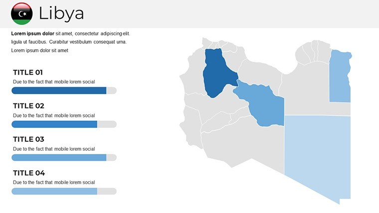
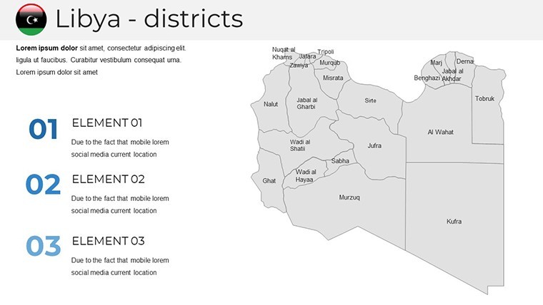
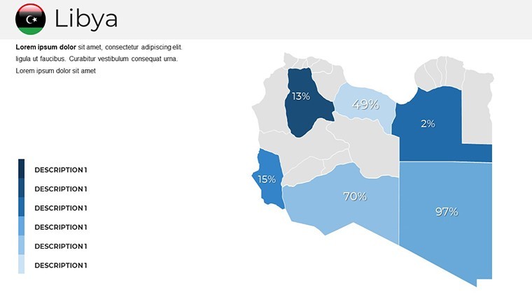
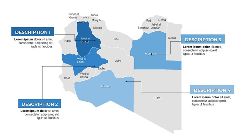
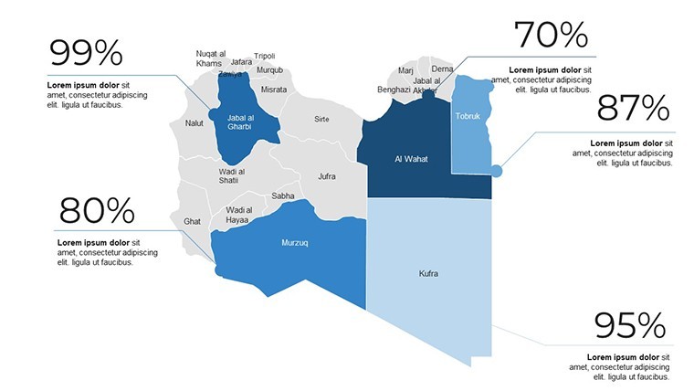
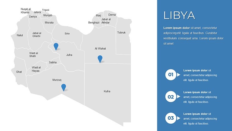
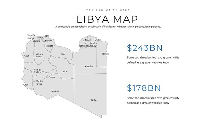
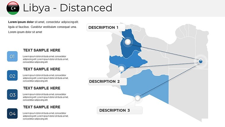
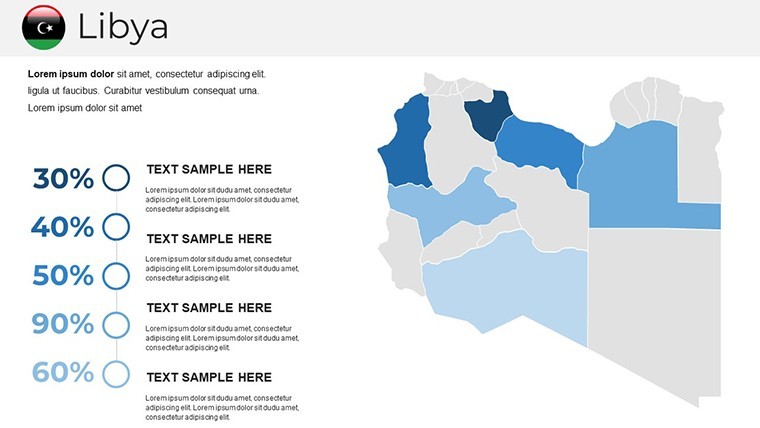
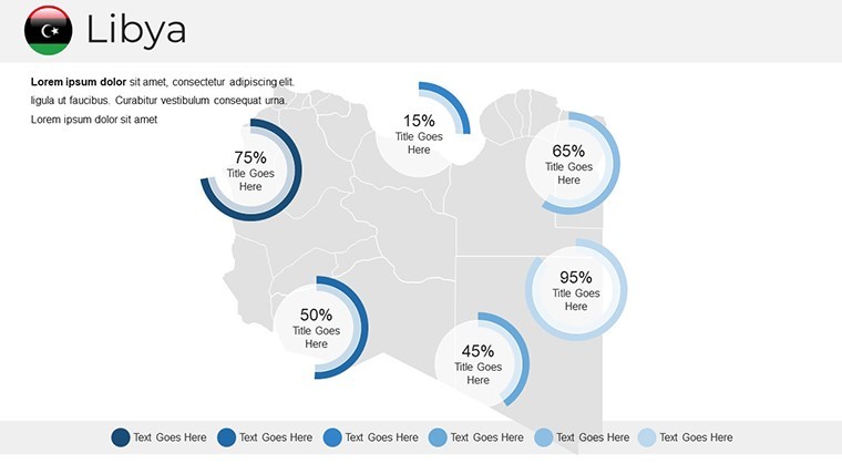
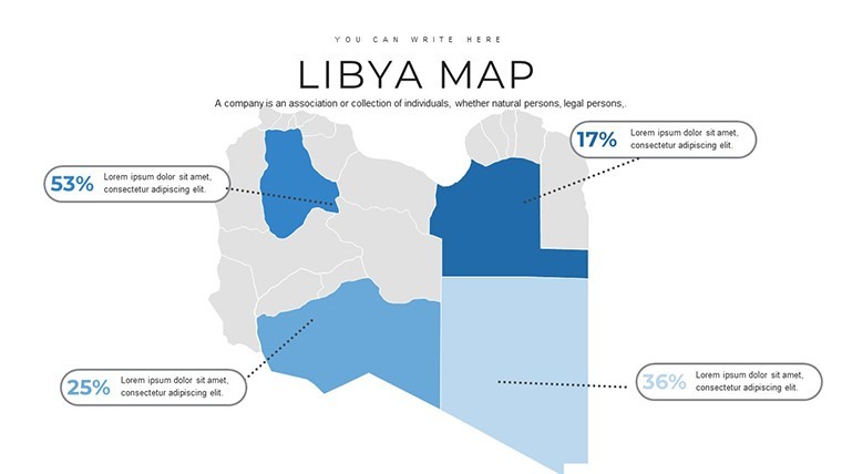
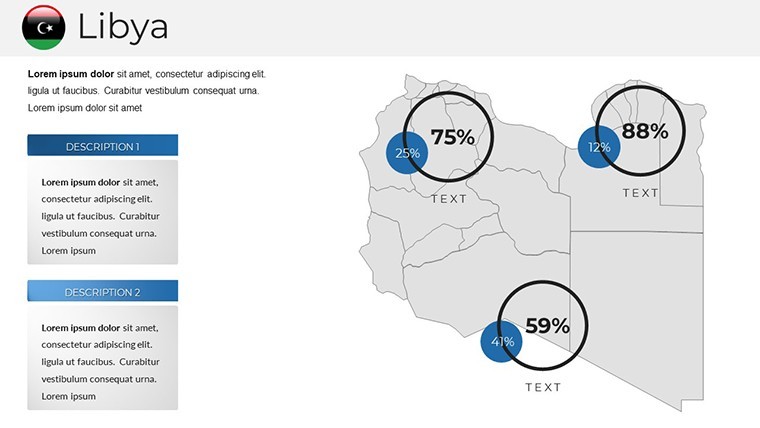
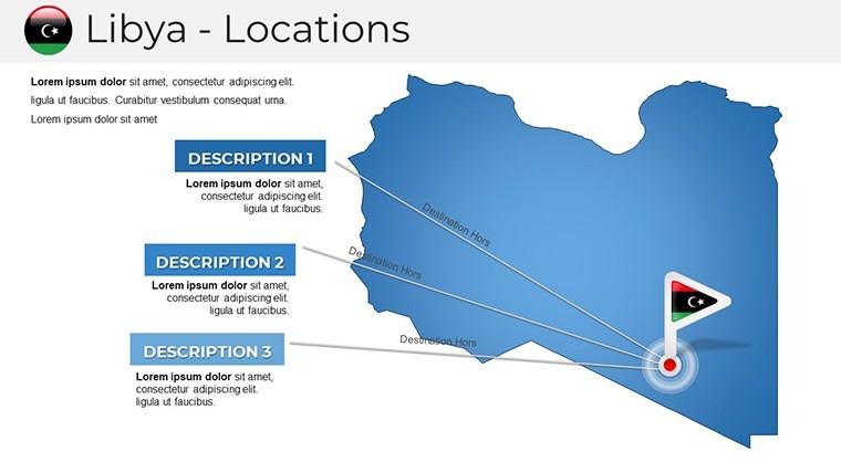
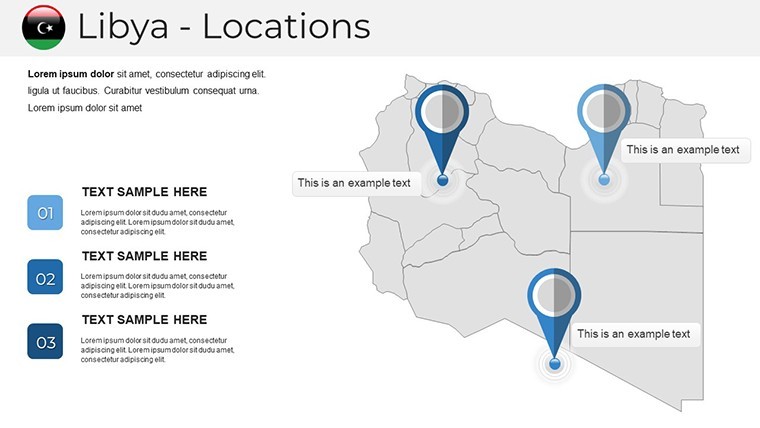
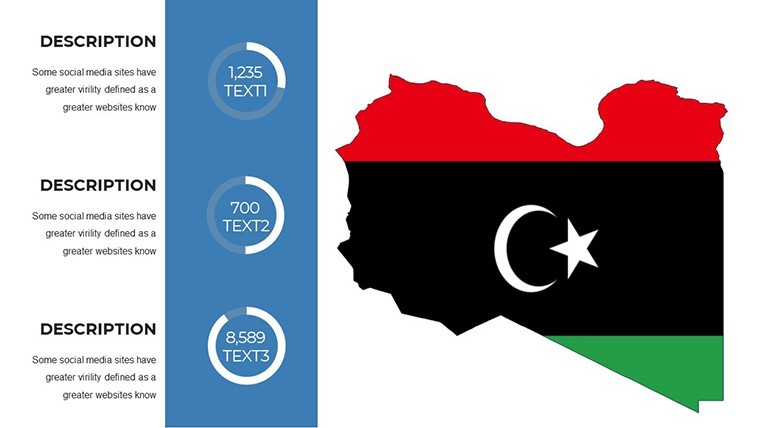
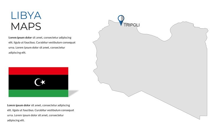
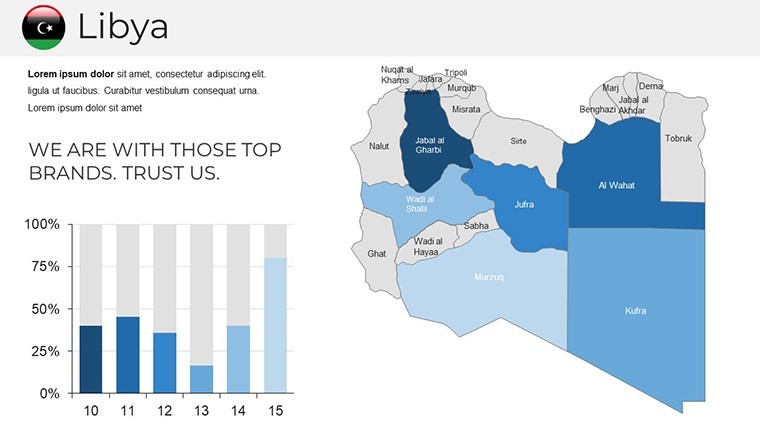
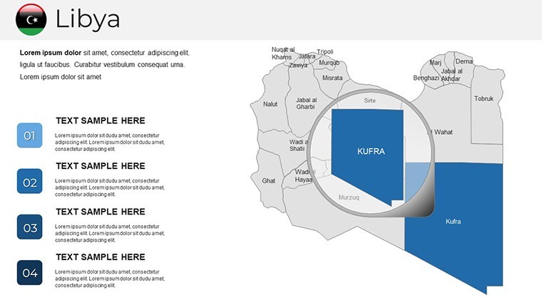
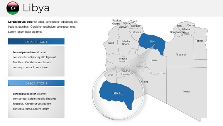
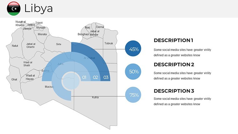
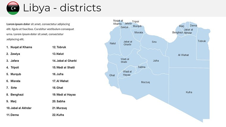
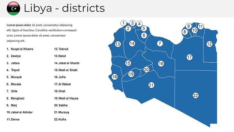
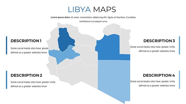
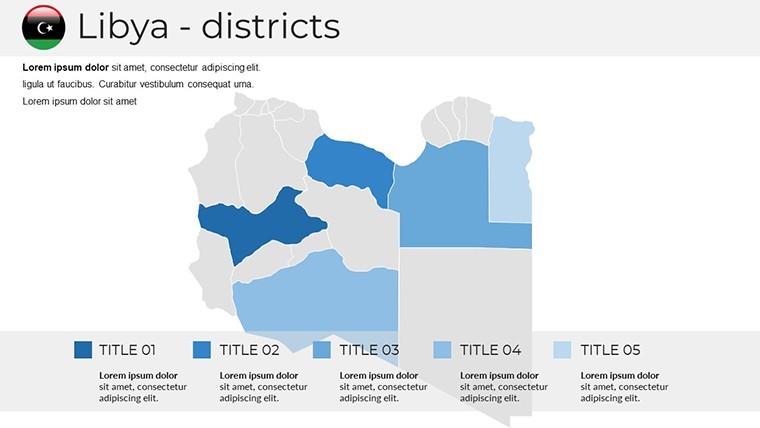
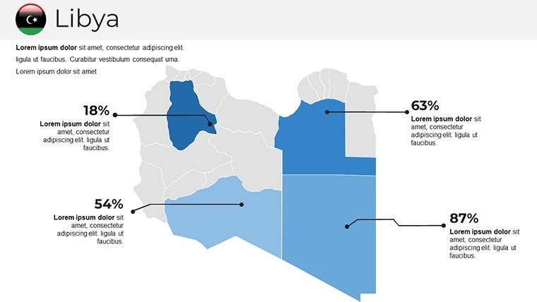
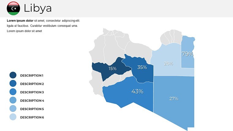
At the heart of this template are its interactive maps, which allow you to zoom into specific areas, add pins for project sites, or animate paths for trade routes. Slide 1 introduces a full overview of Libya's outline, complete with labeled provinces and major waterways like the Gulf of Sidra. From there, slides 2-10 delve into regional breakdowns - think customizable heat maps for population density in urban centers or resource distribution in the Fezzan region. These aren't static images; they're dynamic tools where you can adjust colors to match your brand palette, from earthy tones evoking the desert sands to vibrant blues representing Mediterranean coasts.
Editing is a breeze: select any element, tweak the text for local names or stats, and integrate your own photos of archaeological sites like Leptis Magna. For urban planners, slides 11-20 offer timeline charts overlaid on maps, perfect for sequencing construction phases in a hypothetical smart city initiative in Misrata. Imagine animating a build-up from foundational surveys to completed infrastructure - your audience will see the progression as vividly as if they were on-site.
Editable Infographics for Data-Driven Narratives
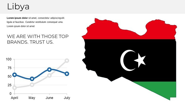
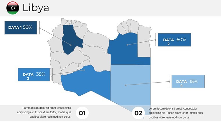
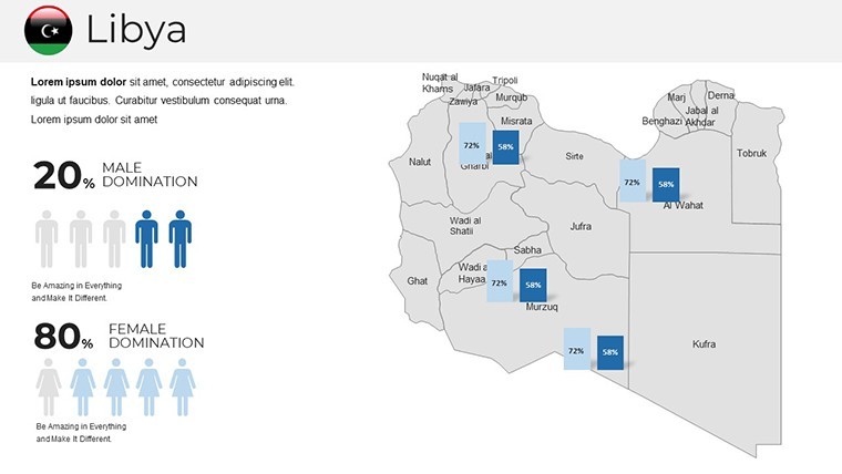
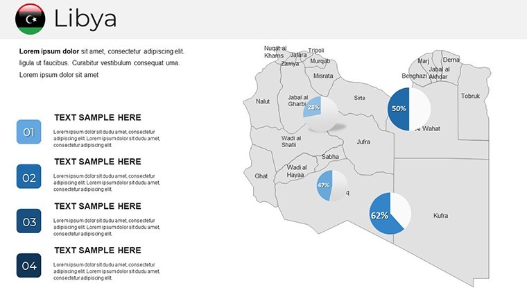
- Charts and Graphs: Slides 21-28 feature pie charts for economic sectors (oil, agriculture, tourism) and bar graphs comparing GDP across Libyan districts. Easily swap data points to reflect the latest from sources like the World Bank, ensuring your presentation stays current and authoritative.
- Diagrams and Flowcharts: Use these to map out supply chains from Libyan ports to European markets, with arrows and icons that snap into place for professional polish.
- Icon Libraries: Over 50 themed icons, from oil rigs to ancient ruins, all vector-editable to fit your theme.
This level of customization addresses common pain points in presentations: bland visuals that fail to engage. By contrast, this template's design principles draw from best practices in visual communication, akin to those used in AIA award submissions, where clarity meets creativity to influence stakeholders.
Real-World Applications: From Planning to Pitching
For architects and urban developers, this template shines in environmental impact assessments. Slide 29, for instance, provides a layered map for overlaying proposed renewable energy farms against existing desert topography - ideal for pitching solar projects that align with Libya's push for green energy. A real-world example: firms like those involved in post-conflict reconstruction have used similar visuals to secure funding from international bodies, demonstrating feasibility with precise geographical context.
In the business realm, energy consultants can leverage slides 30-35 to illustrate exploration zones, integrating seismic data visuals that highlight untapped reserves. Compare this to standard PowerPoint defaults: where those offer rigid shapes, Keynote's native support here allows smoother animations, like fading in risk assessments over map layers. Educators in geography or history might use the full set for lessons on Libya's role in the Arab Spring, with editable timelines that make abstract events spatially relatable.
Workflow integration is key - import this into your existing Keynote files, collaborate via iCloud, and export to PDF for handouts. Tips for max impact: Start with a macro view to set the stage, then drill down; use subtle transitions to guide the eye; and always tie maps back to your core message, whether it's sustainability or economic growth.
Why Choose This Template Over Others?
Unlike generic map packs, this one is tailored for Libya's unique contours, ensuring accuracy that builds trust - crucial for international audiences. It's compatible with Keynote 13 and later, runs smoothly on M1/M2 chips, and includes PNG exports for versatility. At just $42, it's an investment that pays off in every saved design hour and every won pitch.
Ready to map out your success? Download the Editable Libya Maps Keynote Template today and turn geographical data into compelling narratives that stand out.
Frequently Asked Questions
How editable are the maps in this Libya Keynote template?
All 36 slides are fully editable, including paths, fills, and labels. You can resize, recolor, and add elements without losing quality, thanks to vector graphics.
Can I use this template for PowerPoint as well?
While optimized for Keynote, you can export to PowerPoint via .pptx, though some animations may need tweaking for full compatibility.
Are there icons specific to Libyan culture or industry?
Yes, the template includes icons for oil, architecture, and historical motifs, all customizable to fit your presentation's tone.
What's the best way to integrate my own data?
Simply copy-paste stats into the editable charts; for advanced users, link to Excel via Keynote's data import for real-time updates.
Is this suitable for educational purposes?
Absolutely - its clear visuals make it ideal for teaching Libyan geography, history, or environmental studies in classrooms or webinars.
Elevate your pitches with precision - grab your template now and explore Libya like never before.
Good for
- Project roadmaps and sprint plans
- Product launch timelines
- Quarterly or annual review decks
- Company history and milestone summaries
Licence
reviews
Honestly just wanted something with a clean timeline, this had it.
The font choices are weird on some slides but overall usable.
Used the diagram templates to explain our workflow, my boss liked it.
Icons are modern but there's too many different styles mixed together.
Saved me maybe an hour of work, not life-changing but decent.
FAQ
Will it work in Google Slides?
Are fonts embedded?
Can I use this for client work?
What's the refund policy?
Do you update the template after purchase?
Similar templates
See all Keynote Maps →
All 36 slides