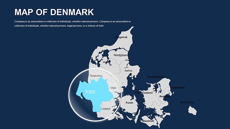
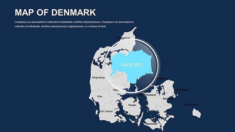
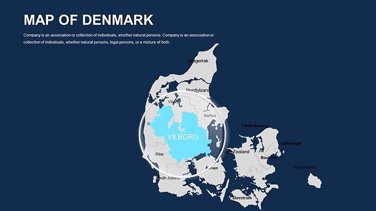
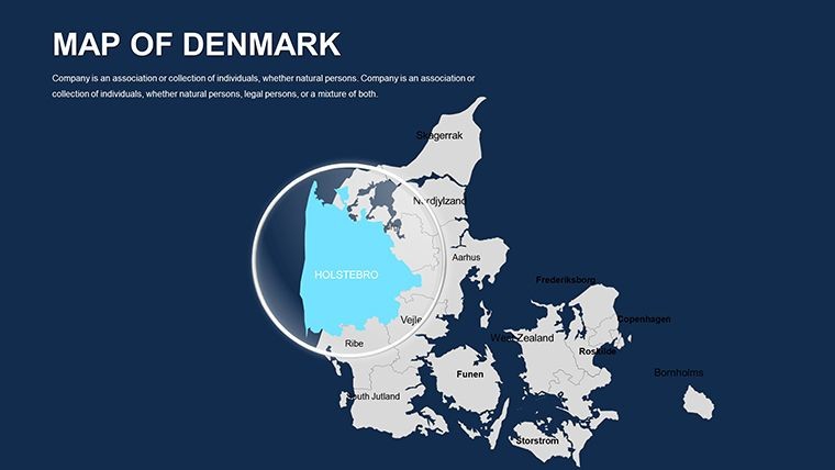
 Click to zoom
Denmark Editable Maps Keynote Template: Chart Nordic Narratives
| Format | .pptx |
| Slides | 44 unique layouts |
| Aspect ratio | 16:9 |
| Compatibility | PowerPoint |
| Animated | No |
| Language | English |
| License | Commercial |
| File size | — |
| Version | v1.0 |
| Last updated | October 2022 |
What's inside
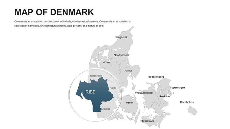
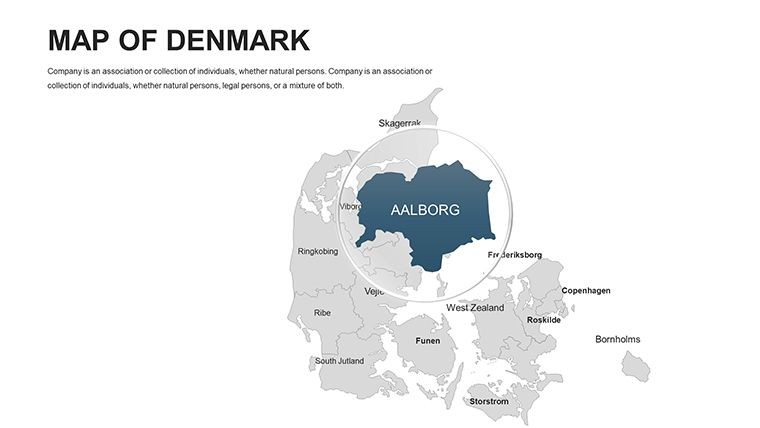
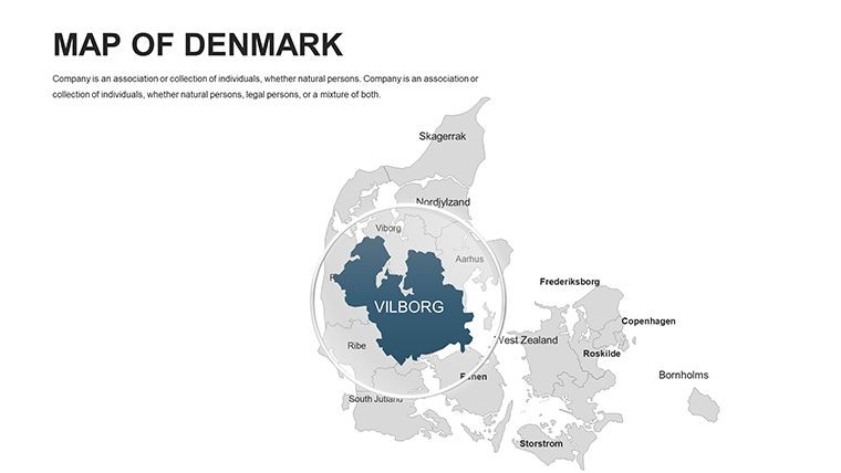
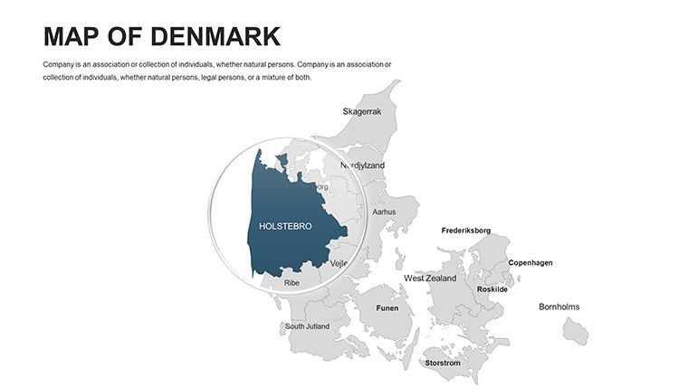
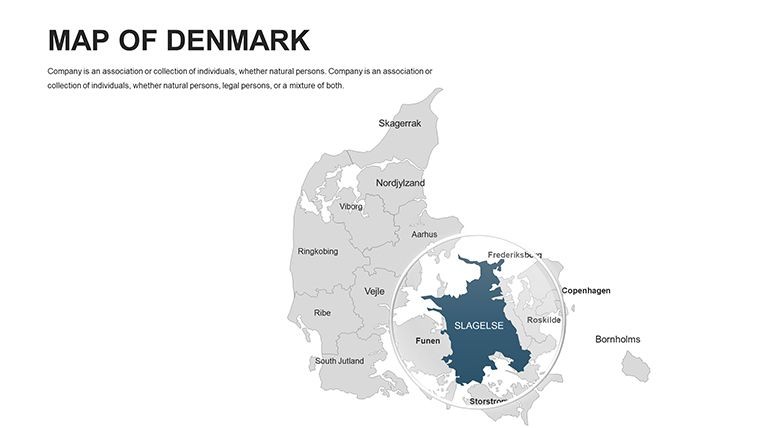
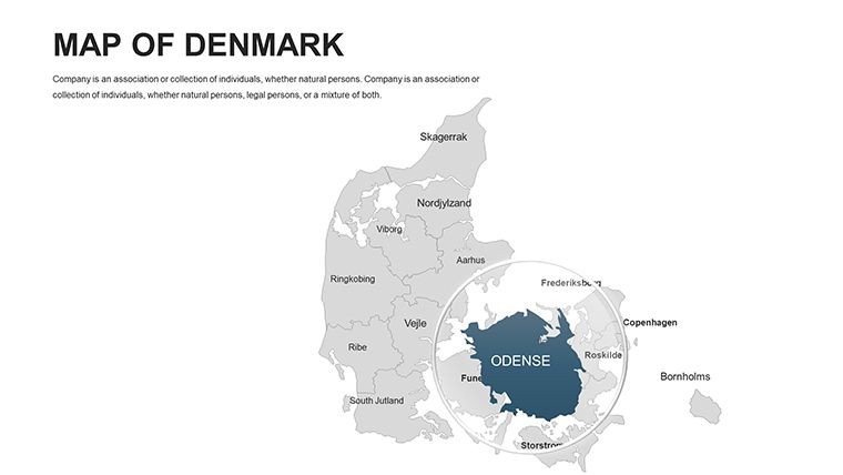
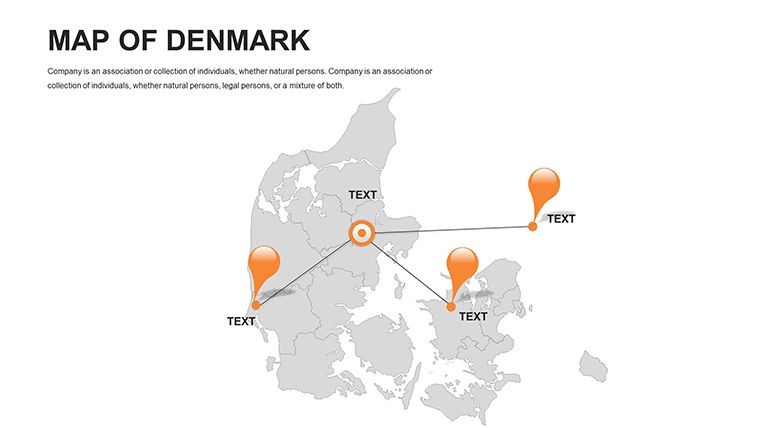
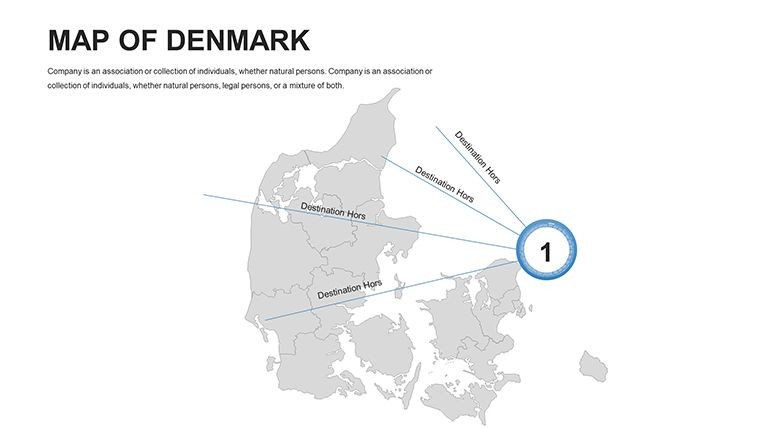
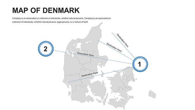
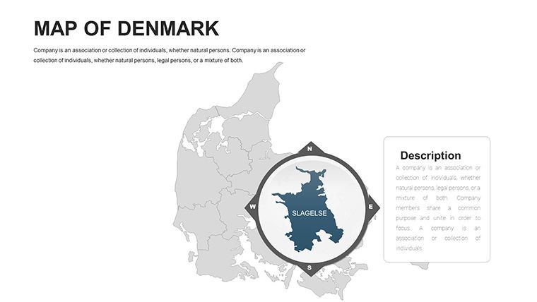
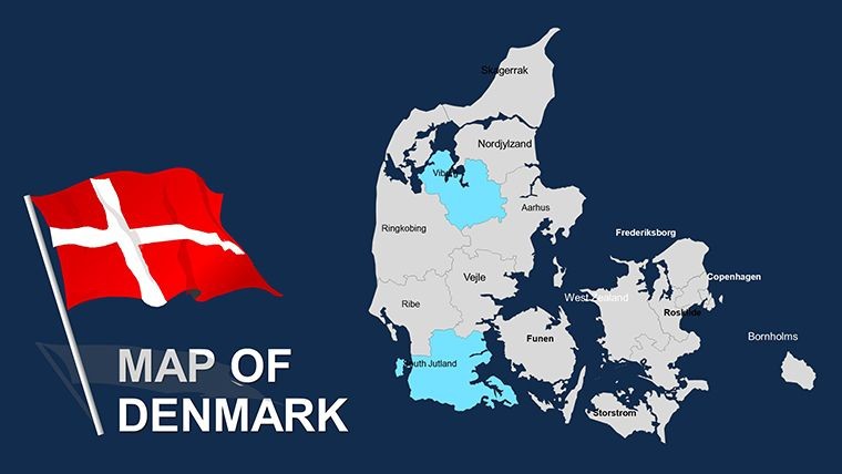
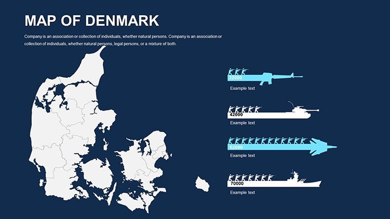
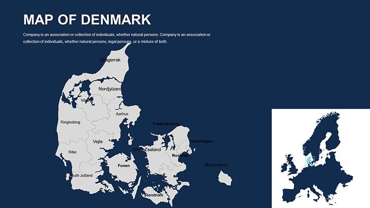
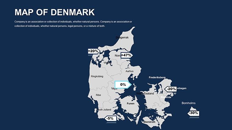
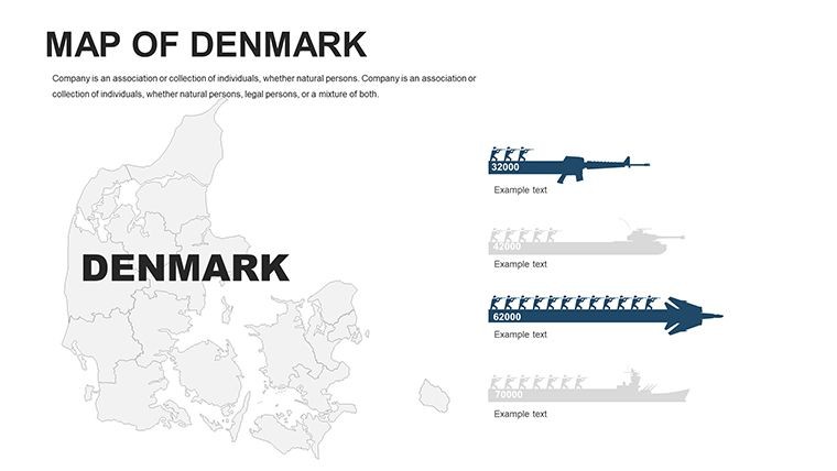
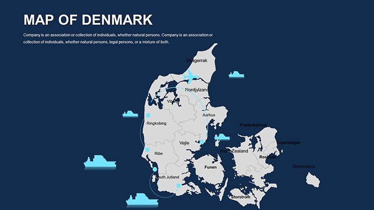
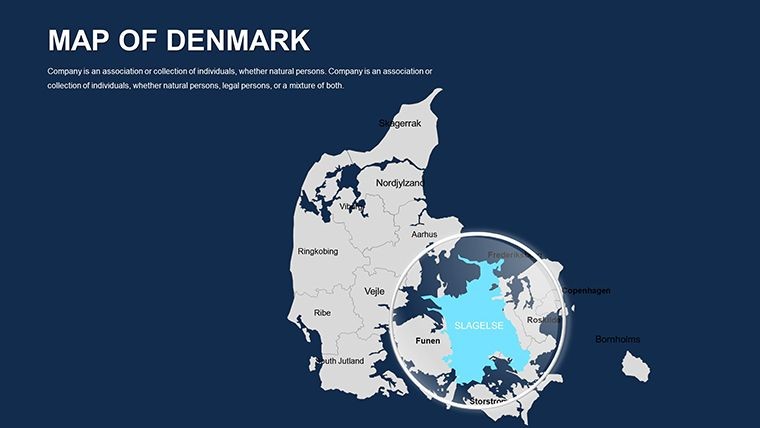
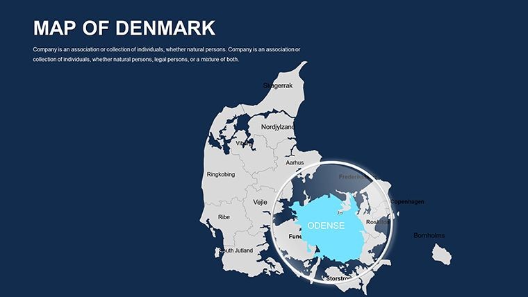
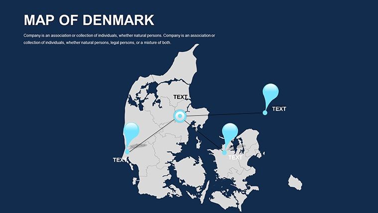
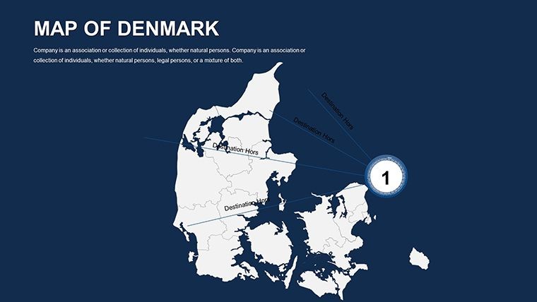
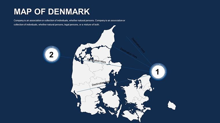
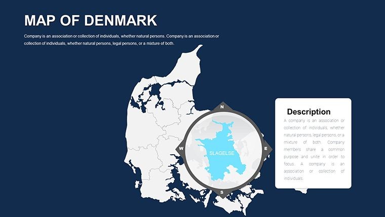
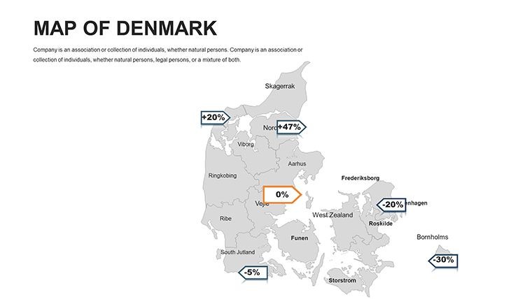
Denmark, with its Viking heritage and innovative spirit, deserves presentations that capture its essence just as vividly. Enter the Denmark Editable Maps Keynote Template, a powerhouse of 44 slides tailored for Keynote users who want to spotlight this Scandinavian gem. Whether you're a tourism marketer showcasing Copenhagen's canals or an educator diving into Denmark's island-dotted geography, this template turns static facts into dynamic visuals. From the Jutland Peninsula to Greenland's icy expanses, every slide is crafted to highlight regions, major cities, and cultural icons, making your content not just informative but inspiring.
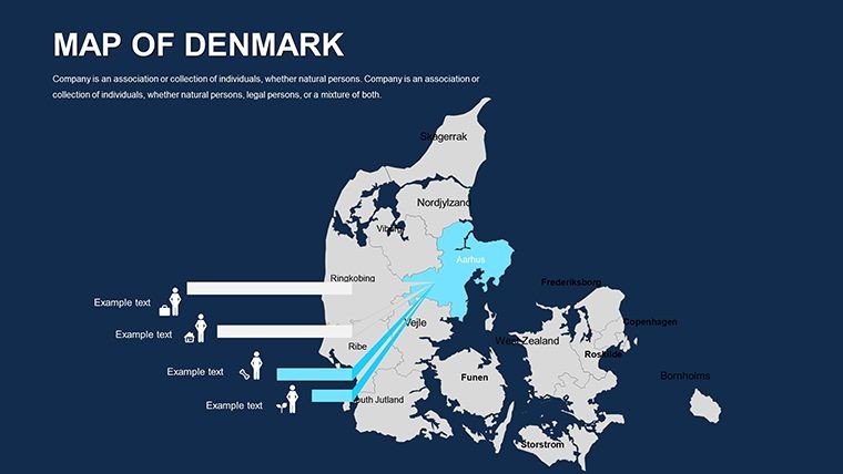
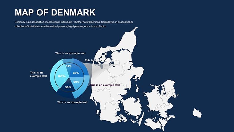
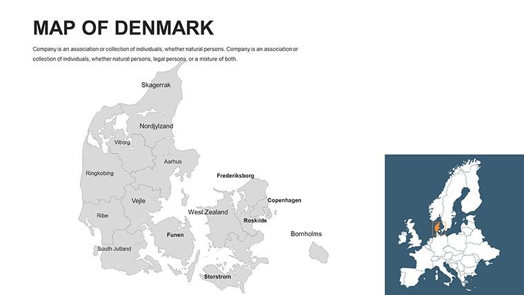
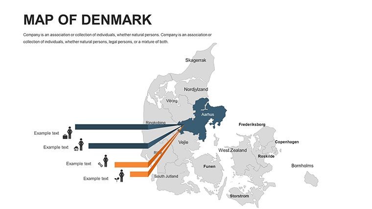
As someone who's collaborated with Nordic design firms, I know the challenge of conveying Denmark's compact yet diverse landscape. This template solves that by offering vector-based maps that are geographically spot-on, drawing from sources like the Danish Geodata Agency for accuracy. Imagine pitching a sustainable urban project: Use the regional breakdown slide to overlay wind farm locations, aligning with Denmark's leadership in green energy as per IRENA reports. The editable flags and circuits add a layer of patriotism, perfect for business reports on trade partnerships or historical timelines tracing Hans Christian Andersen's fairy-tale inspirations.
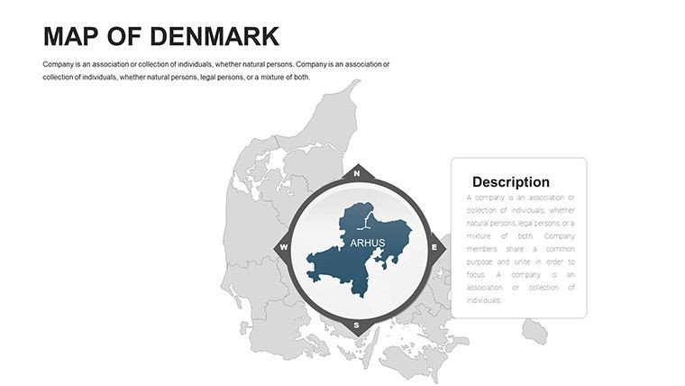
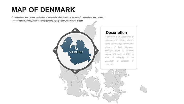
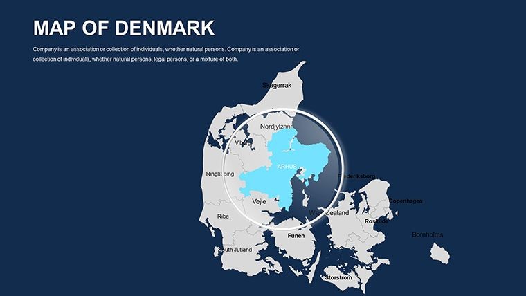
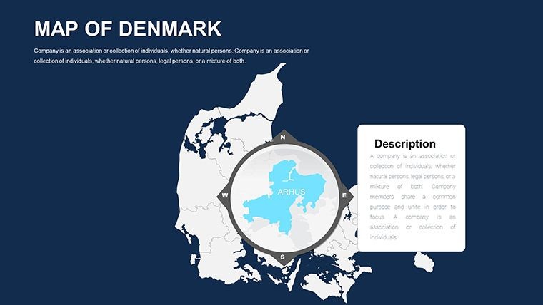
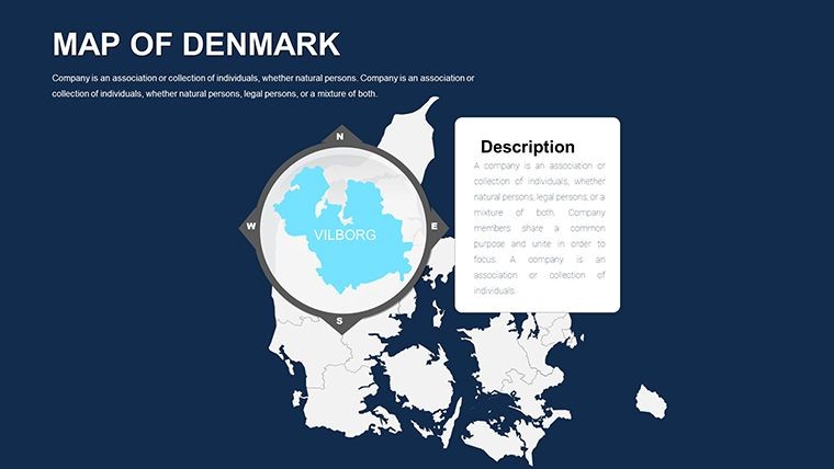
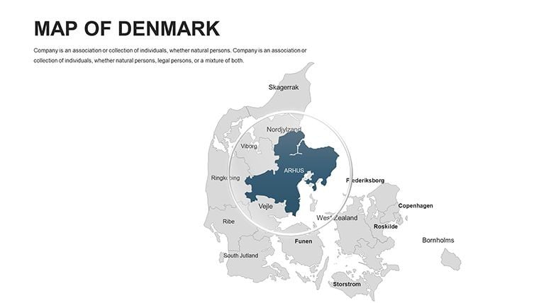
The template's flow is intuitive, starting with a full-country overview that sets the stage. Subsequent slides zoom into specifics - like Aarhus's cultural hubs or Odense's literary landmarks - allowing you to customize with photos, text, and animations. High-resolution PNGs and vector icons ensure versatility, whether presenting in a boardroom or virtually via Zoom. Unlike basic mapping tools in PowerPoint, this Keynote-native design supports fluid animations, such as fading in islands one by one to mimic Denmark's archipelago charm.
Essential Features That Make Mapping Denmark a Breeze
Designed for efficiency, this template packs features that streamline your creative process:
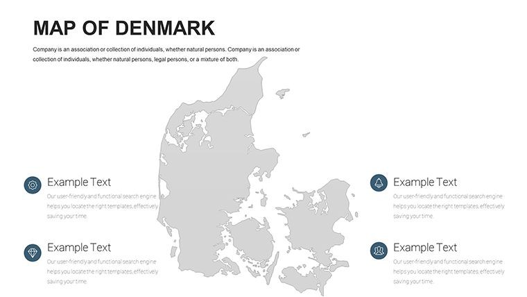
- Comprehensive Coverage: Detailed maps of mainland Denmark, Greenland, and over 400 islands, with editable regions and circuits for precise highlighting.
- Customization Freedom: Change colors to evoke Danish hygge (cozy blues and whites), edit text for bilingual Danish-English labels, and insert custom photos without distortion.
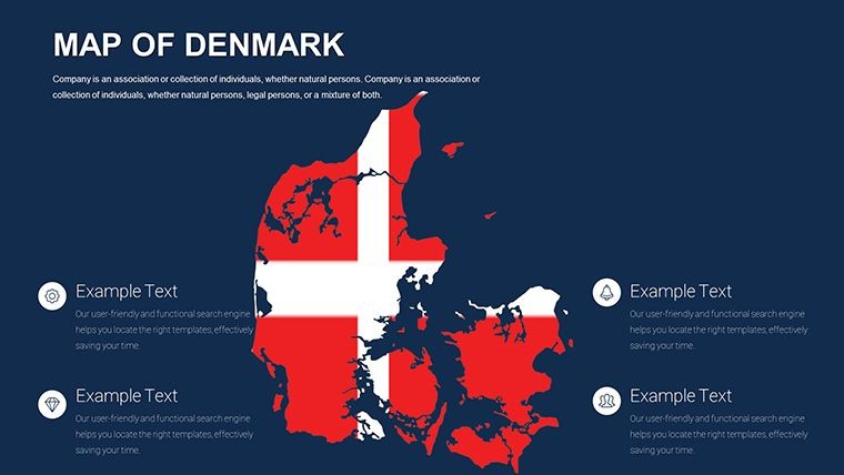
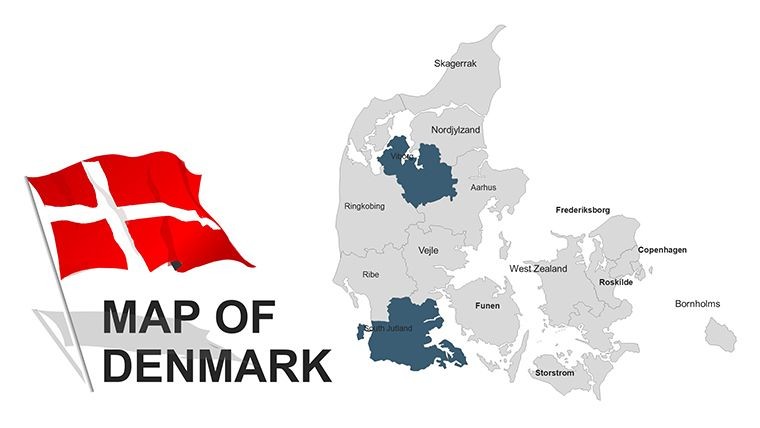
- Icon and Flag Integration: Pre-loaded with national symbols and vector icons, ready for tourism infographics or political analyses.
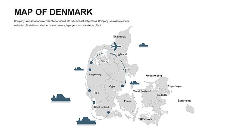
- Animation-Ready: Built-in support for Keynote effects, like path animations tracing Viking routes, to engage audiences dynamically.
For professionals in architecture, these maps shine in planning presentations. A case in point: Copenhagen-based firms use similar templates to map zoning for bike-friendly cities, incorporating data from the Danish Road Directorate to visualize traffic flows - boosting project approvals by making proposals visually compelling.
Practical Use Cases: Tailored for Diverse Needs
In education, teachers transform lessons on Scandinavian history using the timeline slide, animating flag evolutions from Viking ages to modern EU membership. Students edit maps to plot fairy-tale locations, making learning interactive and fun.
Tourism operators craft itineraries with city-focused slides: Highlight Copenhagen's Tivoli Gardens or Faroe Islands' cliffs, adding hyperlinks to booking sites for seamless viewer journeys. In business, export analysts layer economic data - Denmark's wind energy exports - onto regional maps, drawing from Statistics Denmark for credible insights that impress investors.
Urban planners appreciate the template's scalability; resize maps for large-format prints or embed in reports for AIA-style sustainability pitches, showcasing how Danish designs influence global eco-architecture.
How to Maximize This Template in Your Workflow
- Import and Orient: Unzip the .key files and open in Keynote; navigate to the Denmark overview slide.
- Personalize Details: Select regions, adjust colors, and add labels for cities like Billund (Lego's birthplace).
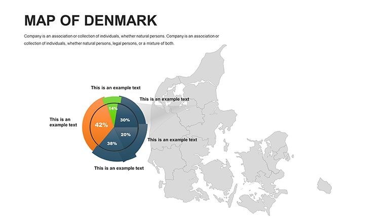
- Enhance with Data: Overlay charts for population stats or tourism metrics, using Keynote's chart tools.
- Animate Strategically: Apply builds to reveal circuits, simulating travel paths.
- Finalize and Distribute: Export to PDF for handouts or video for online sharing.
Tip: For creative twists, blend maps with multimedia - insert audio clips of Danish folk tunes on cultural slides to evoke hygge in your audience.
Standout Benefits: Why This Template Delivers Value
With 272+ ratings praising its ease, this $48 template saves time and elevates professionalism. Users note quicker prep times and higher retention rates, as visuals like these make Denmark's story stick. It's more than maps; it's a storytelling toolkit for Nordic-focused endeavors.
Elevate your next presentation - download the Denmark Editable Maps Keynote Template today and navigate success with style.
Frequently Asked Questions
Is this template compatible with other software?
Primarily for Keynote, but easily exportable to PowerPoint or Google Slides.
What makes the maps editable?
Vector-based design allows resizing, recoloring, and text edits without quality loss.
Are flags and icons included?
Yes, fully customizable Danish flags and geographic icons are built-in.
Suitable for tourism presentations?
Perfect - highlight cities and islands for engaging travel pitches.
Can I add animations?
Absolutely, Keynote's tools integrate seamlessly for dynamic effects.
File delivery details?
ZIP with .key, vectors, and PNGs for immediate use.
Good for
- Project roadmaps and sprint plans
- Product launch timelines
- Quarterly or annual review decks
- Company history and milestone summaries
Licence
reviews
Used this for a market analysis presentation.
The highlighted areas were clear and readable.
Some icons did not match the rest of the style.
FAQ
Will it work in Google Slides?
Are fonts embedded?
Can I use this for client work?
What's the refund policy?
Do you update the template after purchase?
Similar templates
See all Keynote Maps →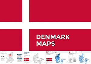
All 44 slides