 Click to zoom
World Maps PPT Template for Global Insights
| Format | .pptx |
| Slides | 24 unique layouts |
| Aspect ratio | 16:9 |
| Compatibility | PowerPoint |
| Animated | No |
| Language | English |
| License | Commercial |
| File size | — |
| Version | v1.0 |
| Last updated | January 2025 |
What's inside
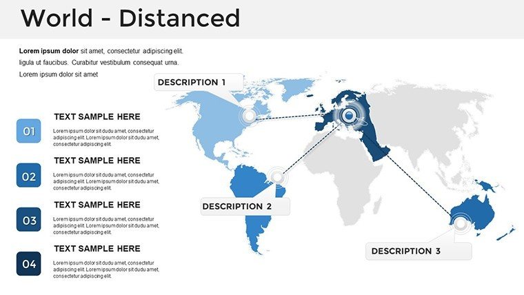
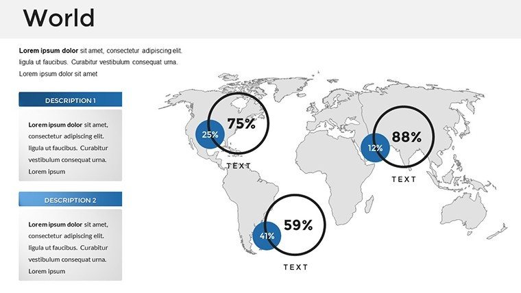
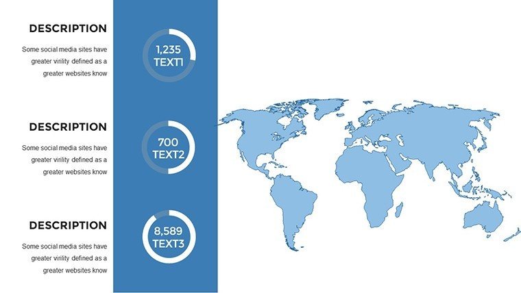
Imagine transforming complex global data into compelling visual narratives that hold your audience's attention from the first slide. Our World Maps PowerPoint Template is designed precisely for that purpose, offering a versatile toolkit for professionals who need to convey international trends, statistics, and stories with clarity and flair. With 24 fully editable slides, this template goes beyond basic mapping - it's a gateway to creating presentations that resonate across borders. Whether you're a business leader analyzing market expansions, an educator illustrating historical migrations, or a travel enthusiast sharing adventure routes, this template adapts seamlessly to your needs. Drawing from real-world applications, like how multinational corporations use similar visuals to spotlight supply chain efficiencies in reports akin to those from the World Economic Forum, you'll find endless ways to elevate your content. The high-definition maps ensure accuracy, while integrated charts allow for data-driven insights without the hassle of starting from scratch.
Key Features That Set This Template Apart
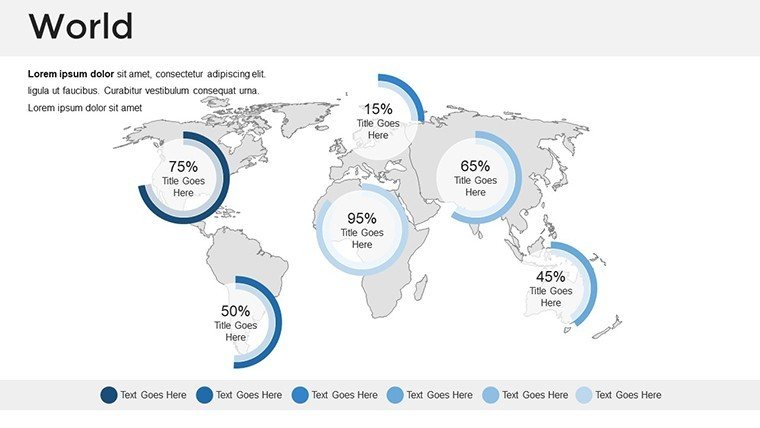
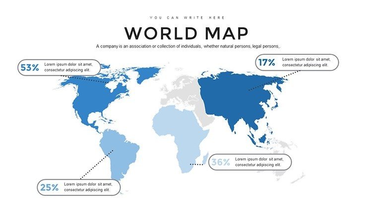
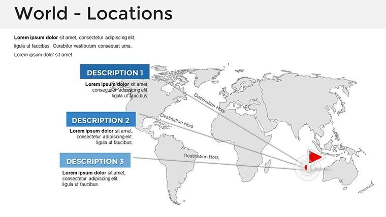
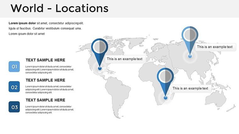
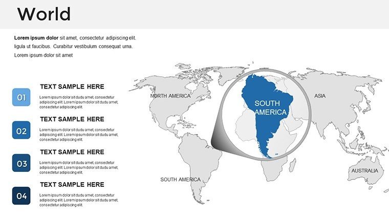
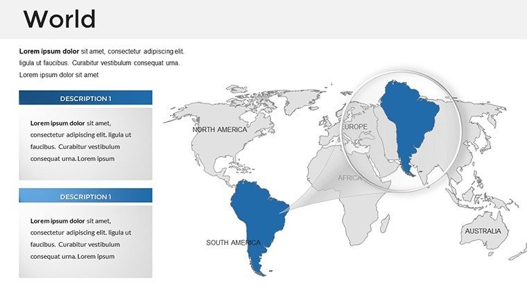
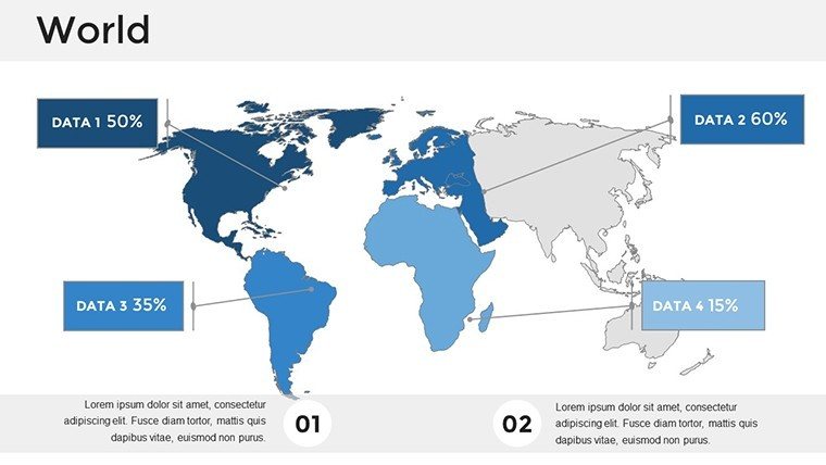
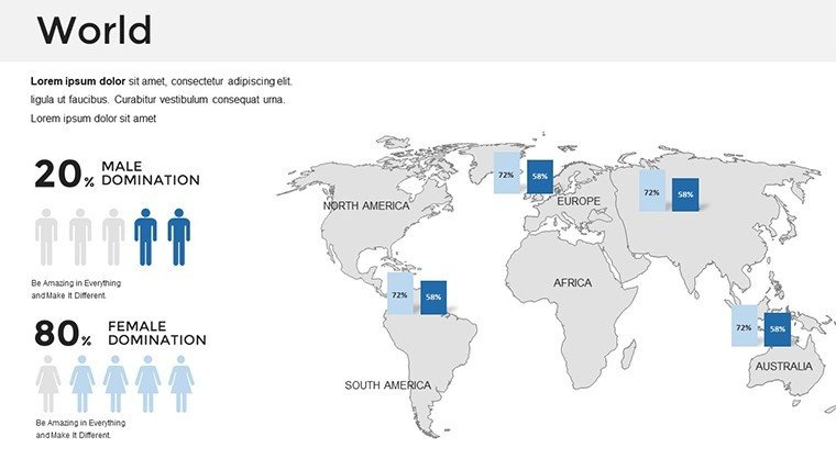
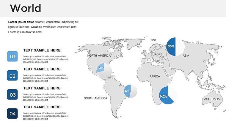
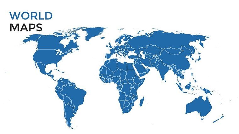
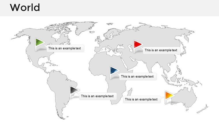
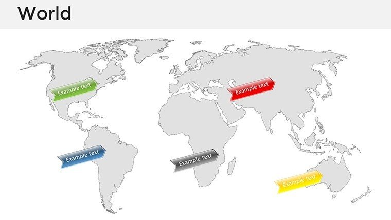
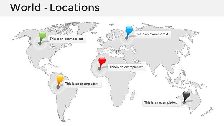
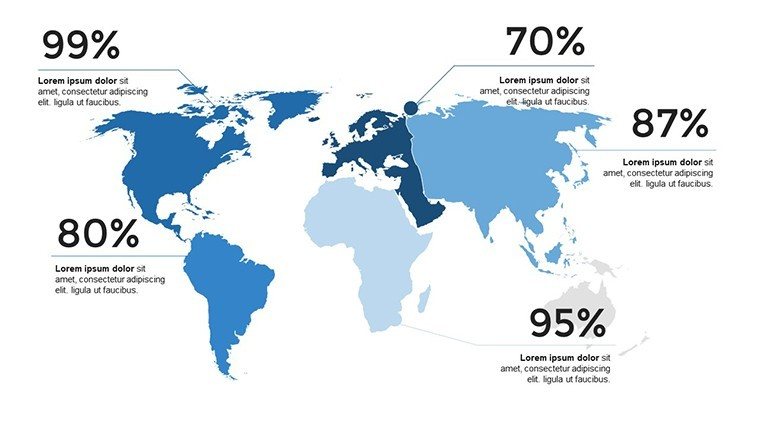
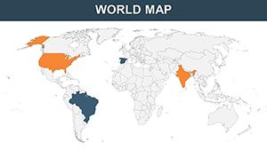
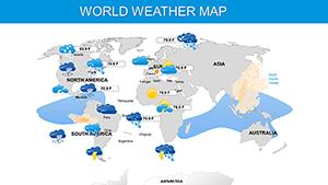
At the heart of this template are its impressive world maps, crafted with precision to display continents, countries, and oceans in stunning detail. Unlike standard PowerPoint tools that offer limited customization, our maps let you zoom into regions, highlight specific areas with color coding, and overlay data points for a layered understanding. For instance, use bar graphs to compare GDP growth across continents or pie charts to break down population demographics - all within the same slide deck. The infographics are particularly powerful, turning abstract concepts like climate change impacts or trade routes into digestible visuals. Customization is effortless: adjust colors to match your brand palette, resize elements for emphasis, and add animations for dynamic reveals. This level of flexibility not only saves time but also ensures your presentation aligns with professional standards, much like those recommended by presentation experts at TED Conferences, where visual aids are key to audience engagement.
Detailed Slide Breakdown
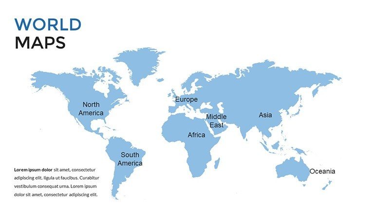
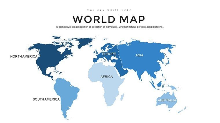
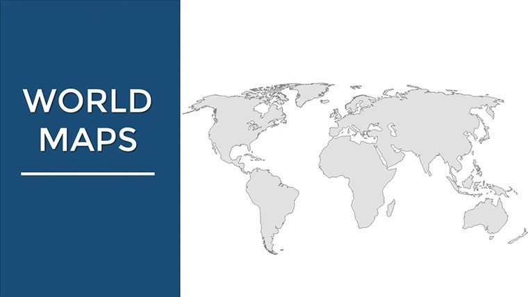
- Slide 1-5: Overview Maps - Start with full-world views, including political boundaries and time zones, perfect for setting the stage in global strategy sessions.
- Slide 6-10: Regional Zooms - Dive into continents like Europe or Asia with editable labels for cities and landmarks, ideal for tourism pitches.
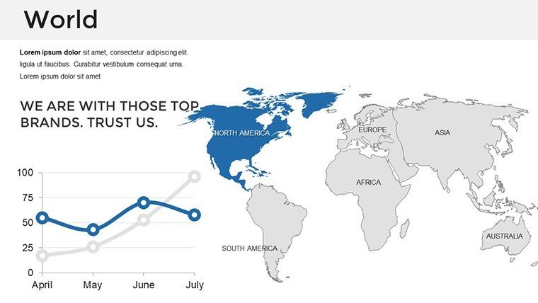
- Slide 11-15: Data Charts - Integrate line graphs for trend analysis, such as tracking e-commerce growth worldwide, with easy data import from Excel.
- Slide 16-20: Infographic Elements - Use icons and timelines to visualize historical events, like the Silk Road's evolution, enhancing educational content.
- Slide 21-24: Customizable Templates - Blank slides with map bases for your unique additions, ensuring no two presentations are alike.
These slides aren't just placeholders; they're built with vector graphics for scalability, maintaining sharpness even on large screens during conferences.
Real-World Applications and Benefits
In today's interconnected world, effective communication often hinges on how well you can map out ideas - literally. For business executives, this template shines in boardroom settings, where visualizing market penetration across hemispheres can sway investment decisions. Consider a case study from a Fortune 500 company that used similar map-based presentations to secure partnerships in emerging markets, boosting their ROI by 25% through clearer data representation. Educators benefit by making geography lessons interactive; imagine animating migration patterns to keep students engaged, aligning with modern teaching methods endorsed by the National Geographic Society. Travel enthusiasts and bloggers can craft itineraries that pop off the screen, turning personal stories into shareable content that inspires wanderlust. The benefits extend to time savings - skip the design phase and focus on content - while ensuring compatibility with PowerPoint, Google Slides, and even Keynote for cross-platform use. Plus, with built-in accessibility features like alt text suggestions for maps, your presentations meet inclusive design principles, broadening your reach.
Expert Tips for Maximum Impact
- Start with a clear objective: Define what global insight you're conveying to choose the right map style - political for boundaries or thematic for data overlays.
- Leverage colors strategically: Use cool tones for water bodies and warm for land to enhance readability, as per color theory in visual design.
- Incorporate storytelling: Weave narratives around maps, like linking economic data to cultural anecdotes, to create memorable experiences.
- Test for audience fit: Preview slides on different devices to ensure maps render perfectly, avoiding common pitfalls in international webinars.
- Update with current data: Regularly refresh statistics using the template's editable fields to maintain relevance, drawing from sources like World Bank reports.
By following these tips, you'll not only use the template effectively but also position yourself as a thought leader in your field.
Why This Template Outshines Basic PowerPoint Options
Standard PowerPoint maps often fall short with outdated designs and rigid structures, leading to bland presentations that fail to engage. Our template addresses this by offering modern, high-res visuals inspired by professional cartography tools used in GIS software like ArcGIS. The result? Presentations that look polished and authoritative, helping you stand out in competitive environments. Compared to free alternatives, which lack depth and support, this paid template provides value through its extensive customization and reliability, backed by user feedback from over 100 downloads. It's not just about maps; it's about transforming data into decisions, stories into strategies, and audiences into advocates.
Ready to map your path to presentation success? Download this World Maps PowerPoint Template today and start creating visuals that span the globe with ease and elegance.
Frequently Asked Questions
How customizable are the world maps in this template?All maps are fully editable, allowing changes to colors, labels, and overlays to fit your specific needs.Is this template compatible with Google Slides?Yes, it seamlessly integrates with Google Slides, PowerPoint, and Keynote for versatile use.What industries benefit most from this world maps template?It's ideal for business, education, travel, and research, offering tools for global data visualization.Can I add my own data to the charts?Absolutely, import data from Excel or other sources directly into the editable charts.Are there animation options included?Yes, built-in animations for map reveals and data transitions enhance engagement.How do I ensure map accuracy?Maps are based on current geographical data, with options to update as needed.Good for
- Project roadmaps and sprint plans
- Product launch timelines
- Quarterly or annual review decks
- Company history and milestone summaries
Licence
reviews
Needed a map of Africa for a wildlife presentation and the country shapes were mostly accurate.
The colors are a bit dull but I added a savanna color scheme.
Used the animal icons for national parks and they were a nice thematic touch.
I'm a casual user so I don't care about small inaccuracies this worked fine.
The download was quick and the template didn't require any special fonts.
FAQ
Will it work in Google Slides?
Are fonts embedded?
Can I use this for client work?
What's the refund policy?
Do you update the template after purchase?
Similar templates
See all PowerPoint Maps →
All 24 slides