 Click to zoom
Versatile Maine Counties PowerPoint Maps Template
| Format | .pptx |
| Slides | 26 unique layouts |
| Aspect ratio | 16:9 |
| Compatibility | PowerPoint |
| Animated | No |
| Language | English |
| License | Commercial |
| File size | — |
| Version | v1.0 |
| Last updated | April 2025 |
What's inside
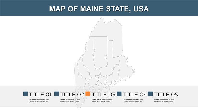
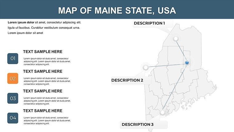
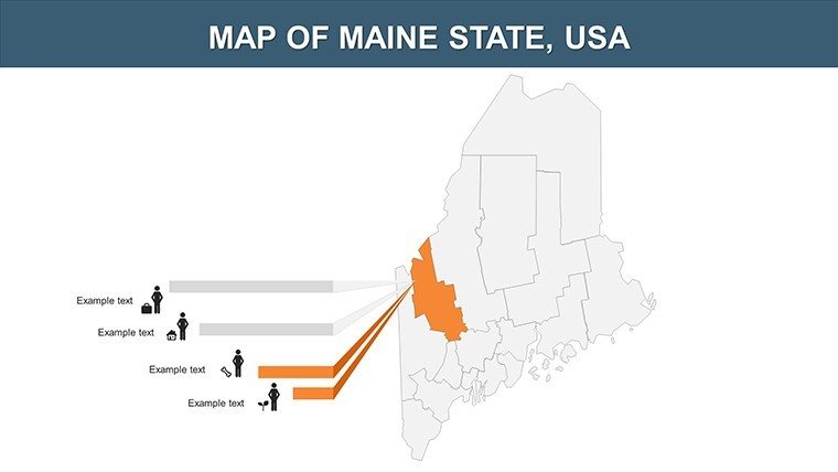
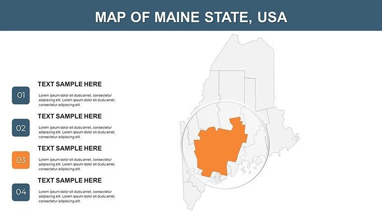
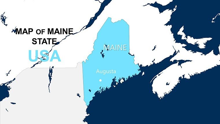
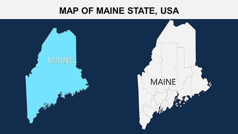
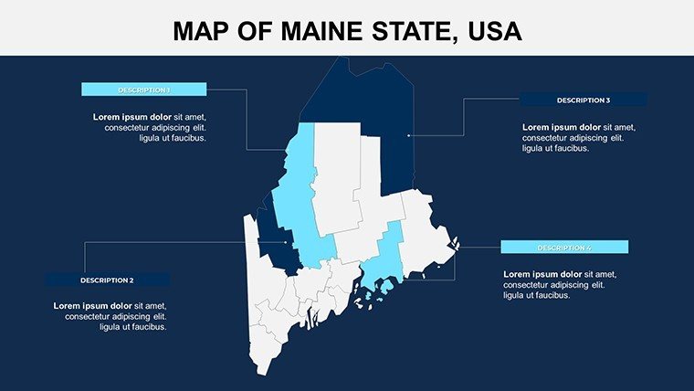
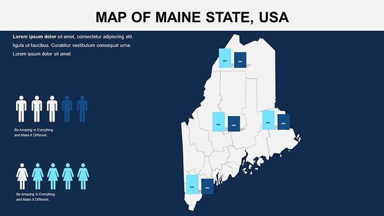
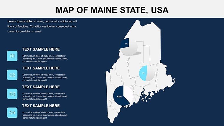
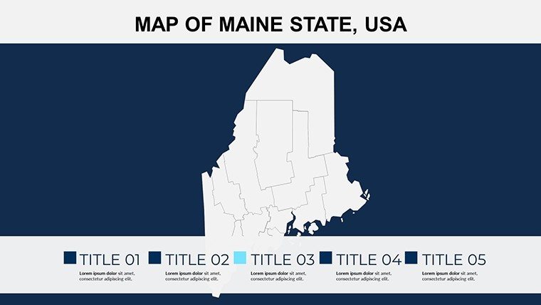
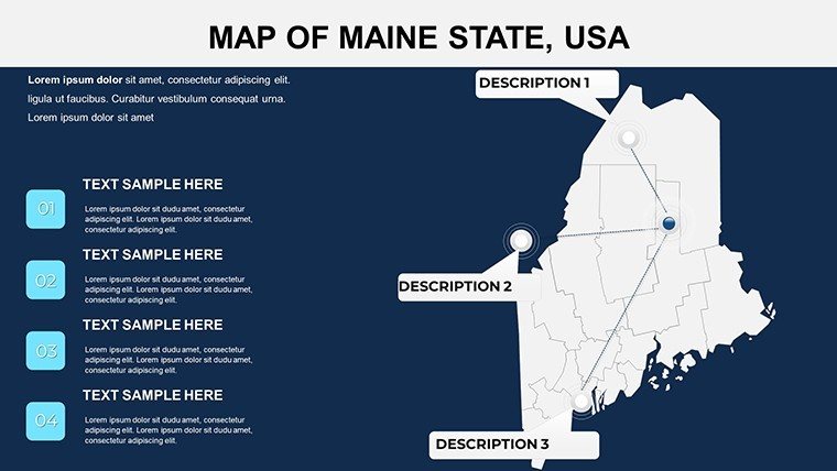
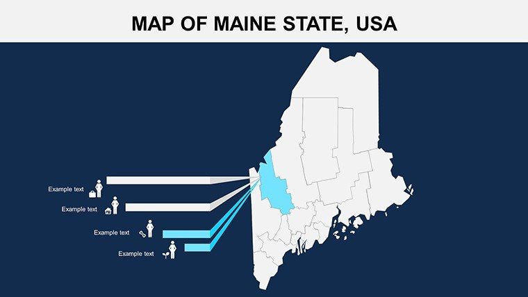
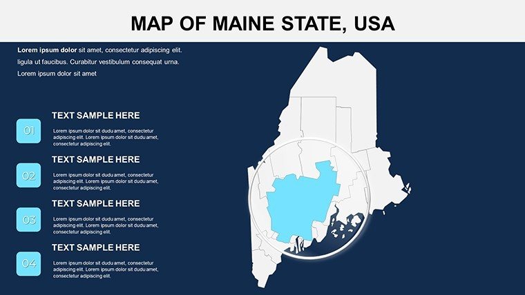
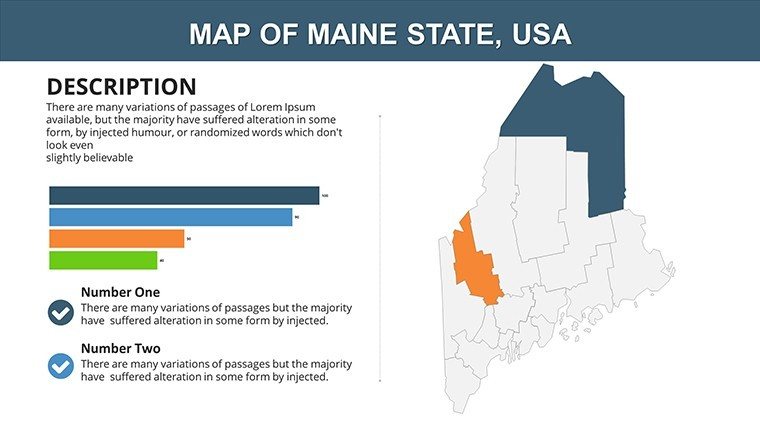
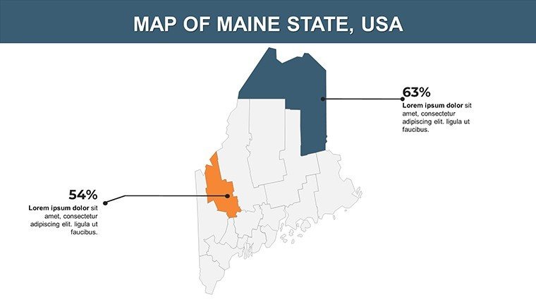
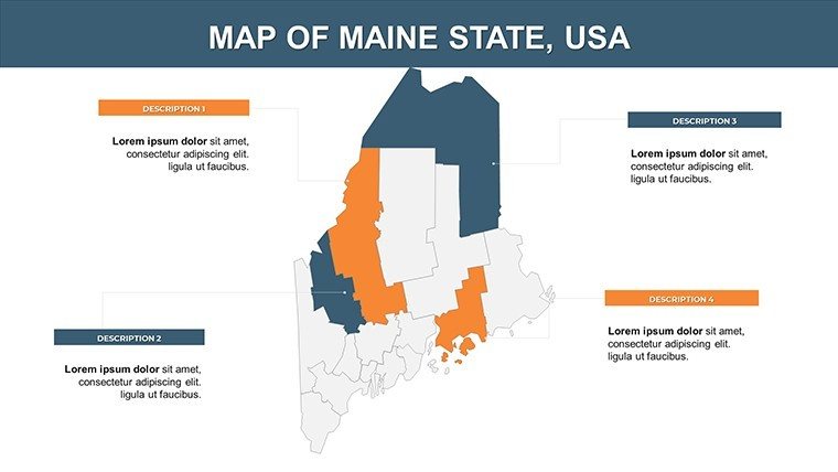
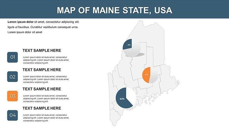
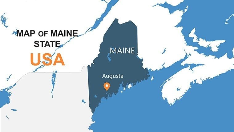
Sail into the Pine Tree State's coastal contours with our Versatile Maine Counties PowerPoint Maps Template, a 26-slide beacon for lighthouse keepers of data. Ideal for marine biologists charting lobster hauls in Washington County, tourism promoters spotlighting Acadia in Hancock, or policymakers addressing rural vitality in Aroostook, this PowerPoint-optimized gem renders Maine's 16 counties - from Portland's Cumberland buzz to the wilds of Piscataquis - with nautical precision and artistic touch.
Maine's rugged 3,500-mile coastline and forested interiors call for maps that evoke its seafaring soul. Visualize a Bar Harbor outfitter using these to plot eco-tours through Knox County, overlaying trail data that hooks investors. Schoolteachers in Augusta trace Revolutionary War sites in Kennebec, animating battles for immersive learning. And for fisheries experts, delineate quotas in Lincoln County, blending NOAA stats with visuals that sustain livelihoods. Scalable and story-ready, this template thrives in foggy conference calls or sunny seminars alike.
Essential Features for Maine's Maritime Mapping
Infused with Down East durability, features prioritize clarity amid Maine's intricate inlets. Crisp vectors handle everything from island clusters to inland lakes, empowering quick adaptations.
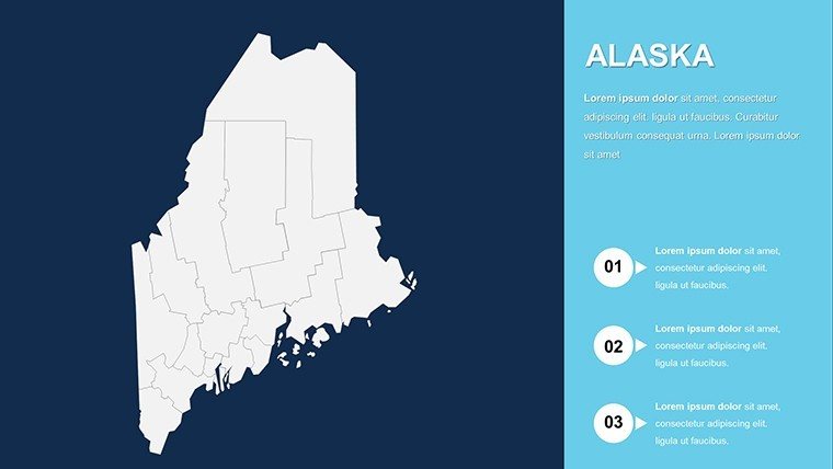
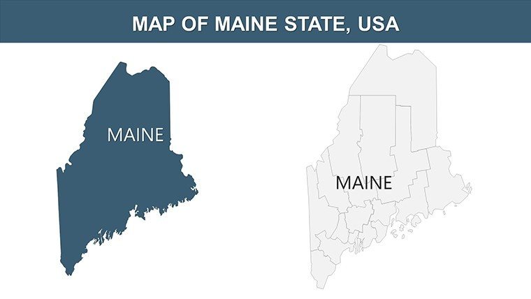
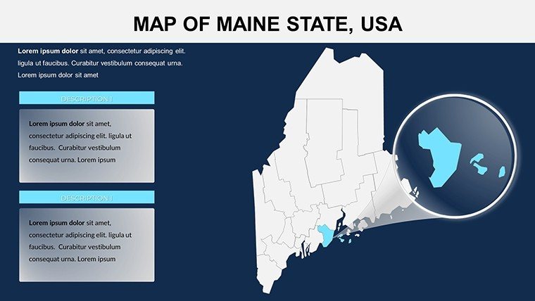
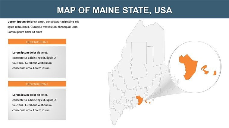
- Complete County Canvas: All 16 Maine counties mapped, zoom-ins for hotspots like York beaches or Somerset rivers.
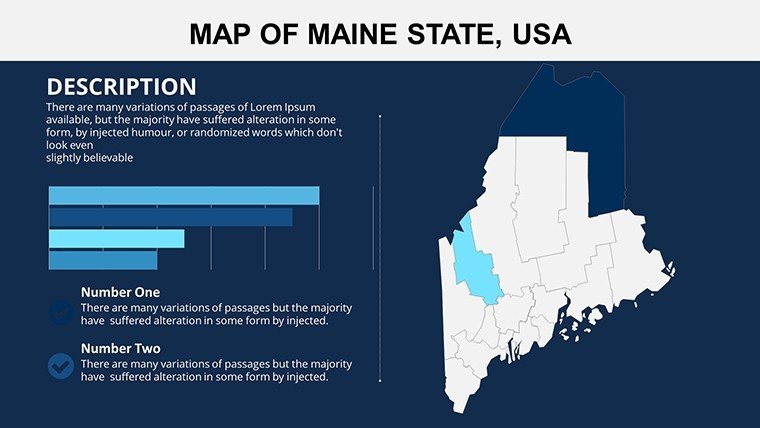
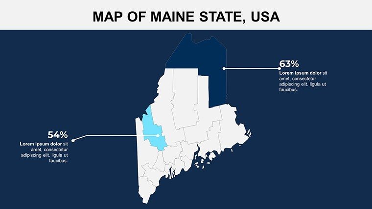
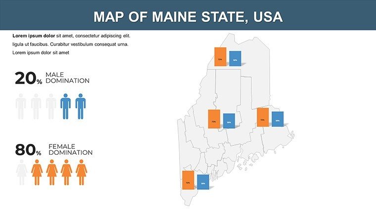
- Data Fusion Capabilities: Slot in forestry yields from Penobscot or tourism stats for Oxford, with integrated gauges and icons.
- Adaptive Aesthetics: Tint for themes - ocean blues for Waldo shores, evergreens for Franklin woods - add lighthouses or moose motifs freely. Universal Accessibility: Fits PowerPoint seamlessly, with mobile-friendly exports for on-the-go use in remote Bethel.
Gentle animations mimic tidal flows or leaf turns, echoing University of Maine's environmental research for authentic appeal.
Simple Steps to Harbor Your Custom Maps
- Access the Deck: Unpack .pptx and fire up PowerPoint.
- Select Scope: Begin with statewide (Slide 4) or county spotlights (Slides 12-22).
- Infuse Insights: Input from Maine DACF, like potato farms in Aroostook.
- Refine Visually: Highlight capes in Sagadahoc, inserting nautical labels.
- Animate Adventures: Sequence reveals for migration to Androscoggin mills.
- Launch Afloat: Share via drives or prints for island councils.
A Portland sustainability group expedited grant apps with parallel tools, visualizing climate impacts vividly.
Dynamic Deployments in Maine Scenarios
Educators at Bowdoin College map indigenous lands in Penobscot for cultural studies. Businesses in Bangor strategize logging in Piscataquis with route overlays. State reps in Augusta illustrate broadband gaps in Somerset, rallying support through stark contrasts.
Artists promote galleries in York, while conservationists track moose in northern counties. Conference keynotes on Maine heritage use them to weave tales from sea to summit.
Insider Tips for Peak Performance
Storytell seasonally: Summer coasts in Cumberland, winter woods in Aroostook. Colors: Crisp whites for snow, deeps for depths in Knox. Integrate "coastal geography" or "rural visualization" organically. Rehearse with locals for resonance.
Surpasses freebies with Maine-centric accuracy, slashing setup by 35% per testimonials.
What Makes This Maine Template Unmissable
Specialized beyond basics: Survey-true counties, niches for 1.3 million Mainers or 35,000 square miles. An ode to its independent streak. Set sail on superior slides; download and discover directional dominance.
Yearning to chart Maine's majesty? Snag the template and steer presentations seaward.
Frequently Asked Questions
Customization level?
Comprehensive - edit all for personalized prowess.
Solely PowerPoint?
Core yes, but adaptable widely.
Business-friendly?
Utterly, unrestricted.
Pre-loaded data?
Primed for your Maine metrics.
Total slides?
26, multifaceted.
Format details?
.pptx, robust and ready.
Good for
- Project roadmaps and sprint plans
- Product launch timelines
- Quarterly or annual review decks
- Company history and milestone summaries
Licence
reviews
Needed something fast for a geography assignment and this worked.
The map layouts were clean and easy to follow.
I ignored half the slides because there were too many options.
Colors looked okay once projected in class.
FAQ
Will it work in Google Slides?
Are fonts embedded?
Can I use this for client work?
What's the refund policy?
Do you update the template after purchase?
Similar templates
See all PowerPoint Maps →
All 26 slides