 Click to zoom
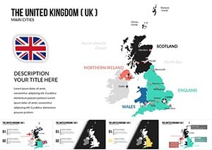
United Kingdom of Great Britain and Ireland Keynote Maps Template
| Format | .pptx |
| Slides | 14 unique layouts |
| Aspect ratio | 16:9 |
| Compatibility | PowerPoint |
| Animated | No |
| Language | English |
| License | Commercial |
| File size | — |
| Version | v1.0 |
| Last updated | July 2023 |
What's inside
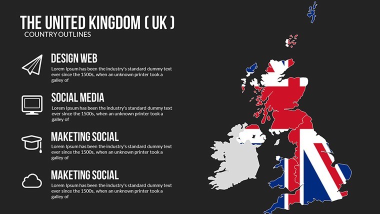
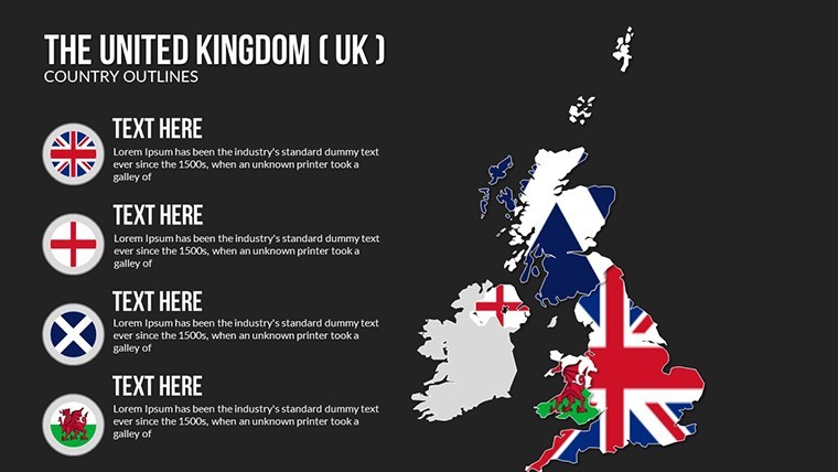
Picture this: You're standing in front of a room full of stakeholders, unveiling a strategy that spans from the bustling streets of Dublin to the highlands of Scotland. Our United Kingdom of Great Britain and Ireland Keynote Maps Template makes that vision a reality. Boasting 14 meticulously crafted, editable slides, this resource is tailored for those who need to convey regional nuances with precision and style. Whether you're a researcher mapping historical migrations or a business professional analyzing trade routes across the Irish Sea, this template empowers you to create presentations that are as informative as they are visually stunning. Forget generic maps that fall flat; here, customization reigns supreme, allowing you to infuse your unique perspective. It's perfect for educators sparking curiosity in classrooms or consultants advising on cross-border investments, turning data into dialogues that drive results. Embrace the power of geography and download this template to elevate your narrative today.
Standout Features for Seamless Customization
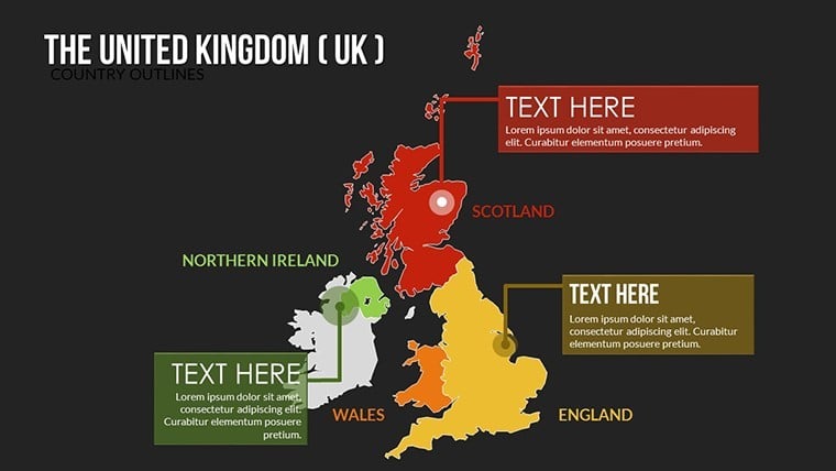
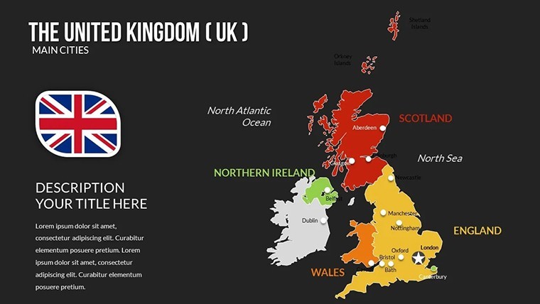
What truly distinguishes this template? Its core lies in high-quality vector maps that cover the entirety of Great Britain and Ireland, from detailed island outlines to integrated regional highlights. With 14 slides, you'll find variety: basic overviews, zoomed-in county views, and thematic setups ready for data overlays. Edit colors to denote political divisions - perhaps red for Conservative strongholds in England or green for environmental initiatives in Ireland. Fonts and layouts are fully adjustable, ensuring alignment with your presentation's tone, be it formal or creative. Built-in user-friendly tools mean no steep learning curve; drag-and-drop icons for landmarks like Stonehenge or the Giant's Causeway add that extra layer of engagement.
In-Depth Slide Overview
- Slide 1: Full Archipelago Map - Encompasses all islands for a holistic start.
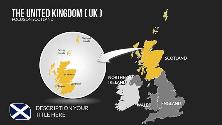
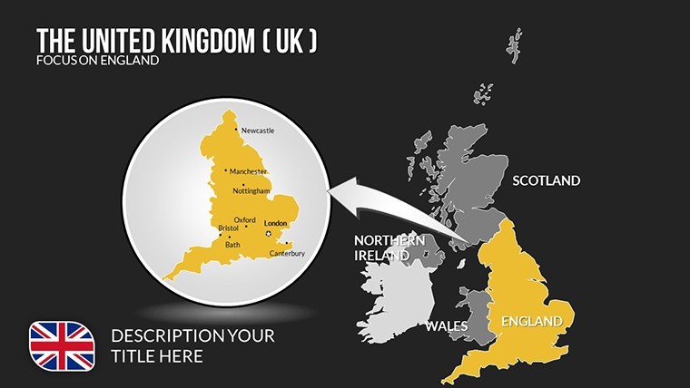
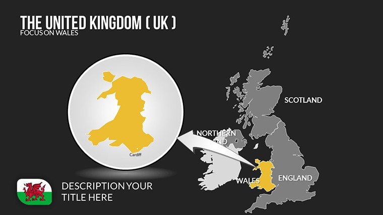
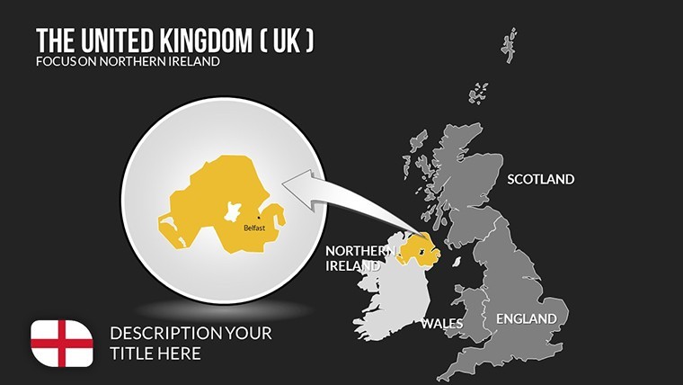
- Slide 2-6: Country-Specific Focus - Individual maps for England, Scotland, Wales, Northern Ireland, and the Republic of Ireland, editable for specific annotations.
- Slide 7-11: Integrated Themes - Blend maps for economic, cultural, or transport analyses, with customizable legends.
- Slide 12-13: Comparative Views - Juxtapose regions, like urban vs. rural densities.
- Slide 14: Interactive Summary - A capstone slide with hyperlinks for deeper dives.
These elements foster creativity, such as illustrating Brexit impacts with color-coded trade flows across the borders.
Practical Benefits and Use Scenarios
In action, this template excels. For business pros, it's invaluable in sales pitches - visualize market penetration from London to Belfast, backed by data from sources like the World Bank. Benefits include polished professionalism that builds trust, as noted in presentation best practices from Toastmasters International. Time efficiency is key; pre-designed maps slash preparation hours, letting you hone your delivery. Engagement soars with visuals that resonate, reducing audience fatigue in long sessions.
Guided Use Case: Building a Cross-Border Business Plan
- Setup Base: Load the .key file and choose your primary map.
- Layer Information: Add data points, like export volumes, using gradient fills.
- Enhance with Elements: Insert relevant icons and text for clarity.
- Apply Dynamics: Animate reveals to guide the audience through your story.
- Finalize and Share: Test compatibility and export for various platforms.
Versus standard Keynote options, this offers superior detail and flexibility, potentially increasing pitch success rates by emphasizing visual storytelling.
Pro Tips to Enhance Your Delivery
Drawing from years in marketing, integrate this template into workflows by starting with outline maps for brainstorming sessions. Use LSI terms like "Ireland geography slides" organically in titles. For authoritativeness, reference real cases, such as how a Dublin firm used mapped analytics to optimize supply chains post-pandemic. Ensure by including data citations and accessible designs, like voice-over compatibility for inclusive presentations.
A notable example: A history professor at Oxford utilized similar tools to animate Viking invasions, captivating students and earning accolades for innovative teaching.
Unlock Your Mapping Potential Now
Don't let geography be a barrier - make it your strength. This Great Britain and Ireland Maps Template is your key to compelling, customized presentations. Secure it today and transform how you share insights.
Frequently Asked Questions
What regions are covered in detail?All of Great Britain and Ireland, with editable focuses on countries and counties.Can I add my own data overlays?Yes, easily integrate charts or icons for personalized visualizations.Is it suitable for team collaborations?Absolutely, iCloud sharing makes group editing straightforward.How do I handle large presentations?Vector graphics ensure no quality loss, even in extended decks.Are updates available?Template purchases include access to future enhancements.What's the license type?Commercial-friendly, for unlimited professional use.Good for
- Project roadmaps and sprint plans
- Product launch timelines
- Quarterly or annual review decks
- Company history and milestone summaries
Licence
reviews
It works but some slides feel a bit crowded
Used in class presentation last night it worked okay
Chart layout made data comparison quick and easy to read
Used this for a work report charts were clear and simple
Opened it once and finished my presentation fast
FAQ
Will it work in Google Slides?
Are fonts embedded?
Can I use this for client work?
What's the refund policy?
Do you update the template after purchase?
Similar templates
See all Keynote Maps →
All 14 slides