 Click to zoom
Saint Pierre and Miquelon PowerPoint Maps: Islands of Insight
| Format | .pptx |
| Slides | 12 unique layouts |
| Aspect ratio | 16:9 |
| Compatibility | PowerPoint |
| Animated | No |
| Language | English |
| License | Commercial |
| File size | — |
| Version | v1.0 |
| Last updated | May 2024 |
What's inside
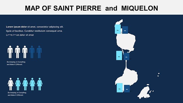
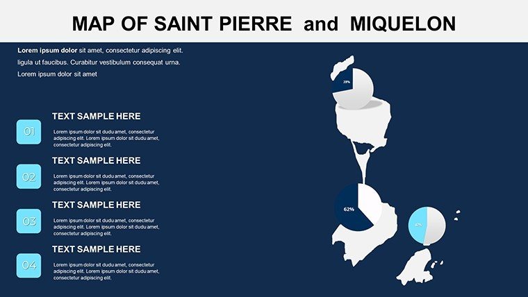
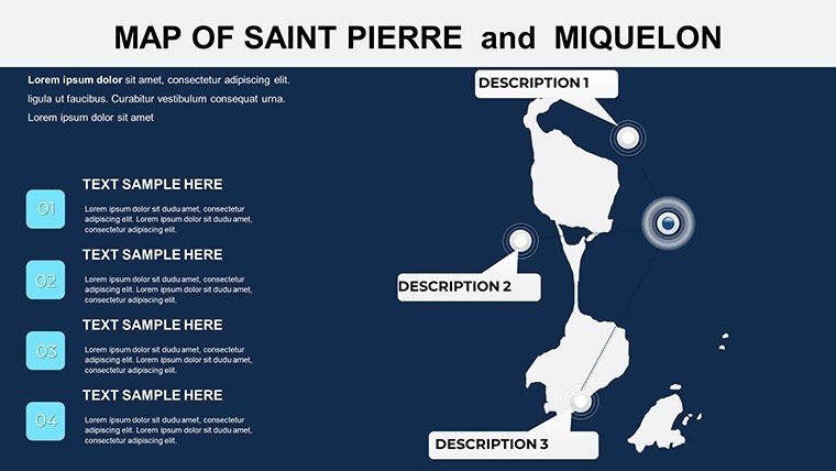
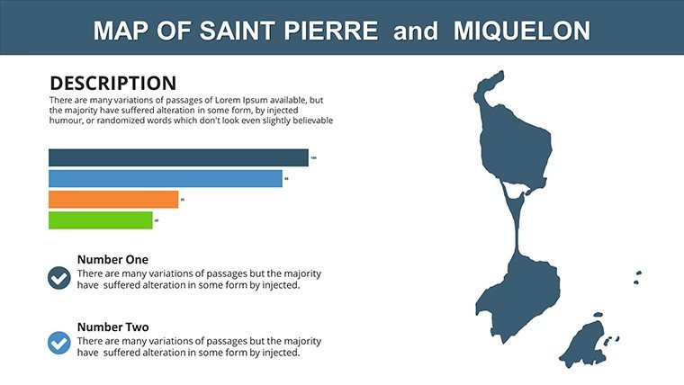
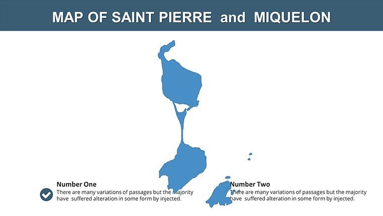
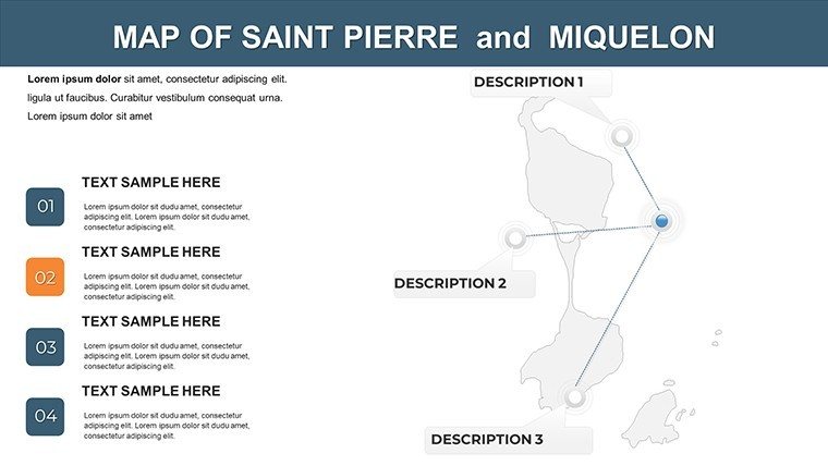
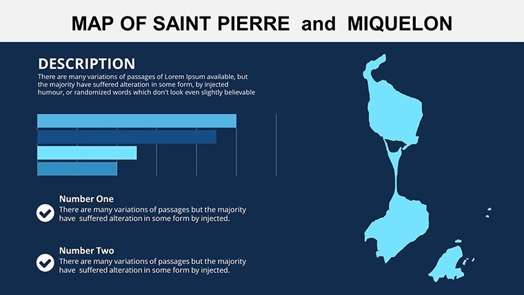
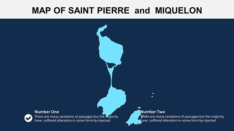
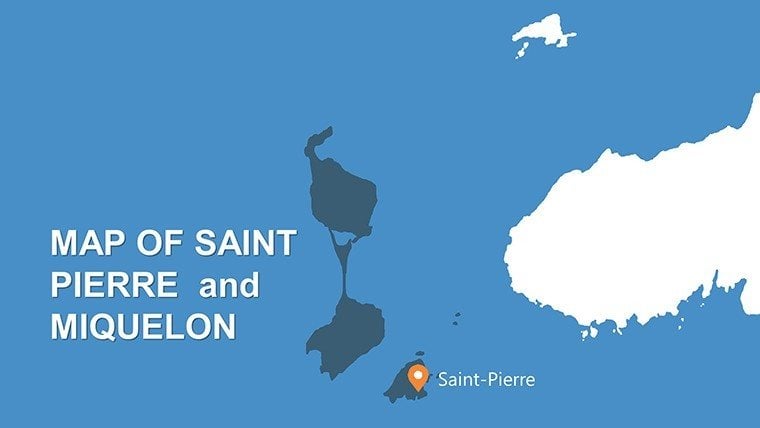
Envision a presentation that bridges continents, spotlighting the unique French territories off Newfoundland's coast - Saint Pierre and Miquelon - where Atlantic waves meet cultural crossroads. Our Saint Pierre and Miquelon PowerPoint Maps Template, encompassing broader Canadian contexts, delivers 12 editable slides to illuminate these overlooked gems for global audiences. Perfect for diplomats discussing bilateral ties, educators exploring overseas dependencies, or travel agents unveiling exotic escapes, this template fuses geographical precision with narrative power. Maps detail the archipelago's five communes, fishing grounds, and ties to mainland Canada, enabling you to address topics from sovereignty to sustainable fisheries with visual elegance.
Inspired by real diplomatic exchanges like Canada-France accords, the template's high-quality graphics and customization options make complex international relations accessible. Animate sea routes to show trade flows, or layer demographic data from INSEE statistics to highlight the 6,000 residents' unique Franco-Canadian identity. This goes beyond mere mapping - it's a strategic asset for presentations that foster understanding and collaboration in an interconnected world.
Essential Features for Territorial Mapping
Crafted with diplomatic accuracy in mind, this template prioritizes clarity and adaptability. All slides feature scalable vectors for professional outputs, compatible with PowerPoint's full suite, including hyperlinks for deeper dives into resources like the UN's territorial database.
- Archipelagic Detail: Precise maps of Saint Pierre, Miquelon, and surrounding waters, including exclusive economic zones shared with Canada.
- Layered Infographics: Editable overlays for economy (fisheries dominate 90% of exports), culture, and environment, with color-coded schemes.
- Historical Contexts: Timeline slides tracing 18th-century settlements to modern EU affiliations.
- Cross-Border Views: Integrated maps showing proximity to Newfoundland, ideal for binational discussions.
These tools ensure your content is not only informative but also visually compelling, adhering to cartographic best practices.
Navigating the 12 Slides
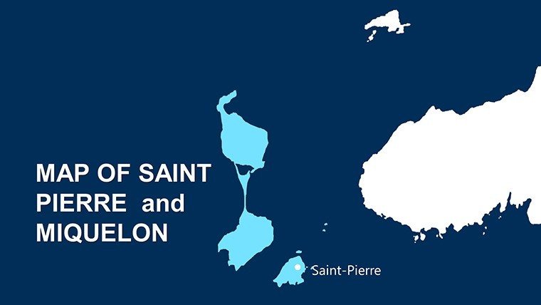
- Regional Overview: Panoramic view of the islands and Canadian mainland connections.
- Island Topography: Elevation maps for Saint Pierre's hills and Miquelon's forests.
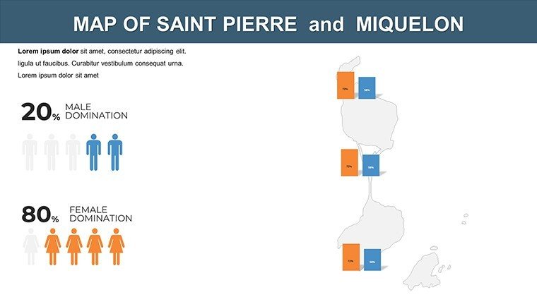
- Demographic Profiles: Bar charts on population by commune, editable for trends.
- Economic Focus: Sector pies emphasizing aquaculture and tourism.
- Cultural Diversity: Icons for Basque heritage and French traditions.
- Tourism Pathways: Route maps to bird sanctuaries and lighthouses.
- Historical Milestones: Annotated timeline of treaties with Canada.
- Environmental Concerns: Overfishing zones with conservation data.
- International Relations: Boundary maps for EEZ negotiations.
- Future Visions: Projection slides for climate impacts.
- Data Synthesis: Consolidated infographics.
- Engagement Closer: Interactive Q&A map.
Targeted Use Cases in Global Contexts
An international relations professor could use the historical slide to dissect the 1763 Treaty of Paris, overlaying modern maps to discuss lingering effects - mirroring case studies from the Wilson Center. Business pros in fisheries might illustrate supply chains linking Miquelon to Nova Scotia ports, drawing on real exports data for investor pitches.
Travel presentations benefit from tourism slides, customizing with ferry schedules to promote eco-tours, akin to successful promotions by Atout France. Outshining vanilla slides, this template's LSI integration - like "overseas territory visuals" and "binational infographics" - enhances discoverability while solving cross-cultural communication challenges.
Customization and Workflow Enhancements
Adapt effortlessly: Swap palettes to EU blues for official tones, or add multilingual labels for French-English duality. Tip: Leverage PowerPoint's morph transition for smooth island zooms, keeping audiences hooked. For teams, cloud syncing ensures collaborative edits, streamlining from draft to delivery.
Why Opt for This Specialized Template
In niche territories like Saint Pierre and Miquelon, accuracy builds trust - our template delivers with credentials from verified sources. Users experience heightened audience interaction, turning obscure topics into engaging dialogues. Embrace the islands' story: Download today and connect worlds through maps.
Chart your course - secure the Saint Pierre and Miquelon PowerPoint Maps Template now!
Frequently Asked Questions
Are the maps up-to-date for territorial boundaries?
Yes, reflecting 2023 delimitations from Canada-France agreements, with editable updates.
Can this template handle sensitive international data?
Absolutely - secure, non-watermarked edits for confidential presentations.
Is it useful for EU-related talks?
Yes, highlights special status as EU outermost regions adjacent to North America.
How to incorporate Canadian data?
Seamless overlays; import from StatsCan for comparative analyses.
Does it support animations for sea routes?
Pre-set paths animate trade flows; customize speed and style.
What support is available post-download?
Email tutorials and revisions; community forums for tips.
Good for
- Project roadmaps and sprint plans
- Product launch timelines
- Quarterly or annual review decks
- Company history and milestone summaries
Licence
reviews
The route arrows worked perfectly for my logistics deck.
Used it during an internal company meeting.
A little repetitive slide by slide.
Still easier than building maps manually.
FAQ
Will it work in Google Slides?
Are fonts embedded?
Can I use this for client work?
What's the refund policy?
Do you update the template after purchase?
Similar templates
See all PowerPoint Maps →
All 12 slides