 Click to zoom
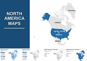
North America Editable Map Keynote Template: Charting Continental Connections
| Format | .pptx |
| Slides | 42 unique layouts |
| Aspect ratio | 16:9 |
| Compatibility | PowerPoint |
| Animated | No |
| Language | English |
| License | Commercial |
| File size | — |
| Version | v1.0 |
| Last updated | December 2024 |
What's inside
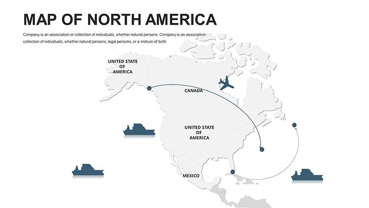
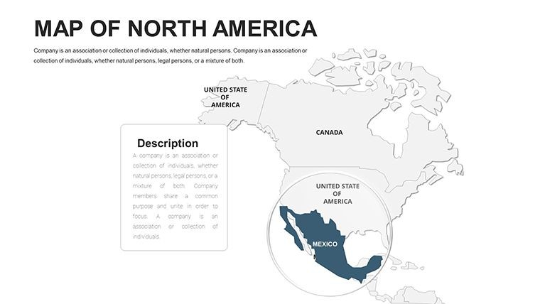
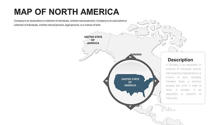
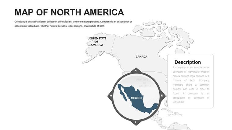
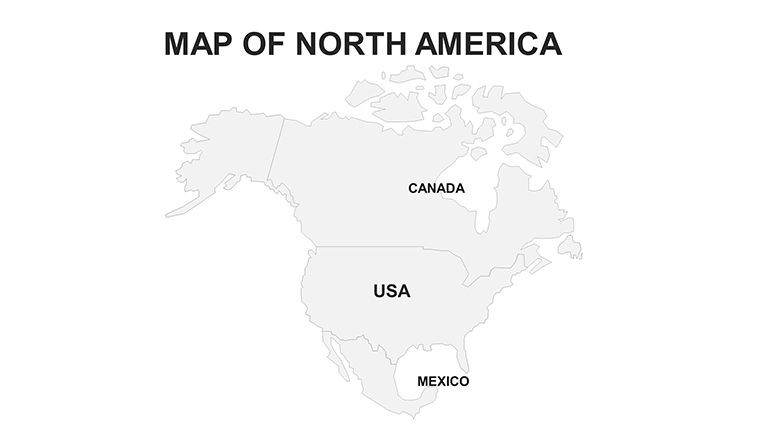
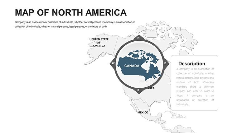
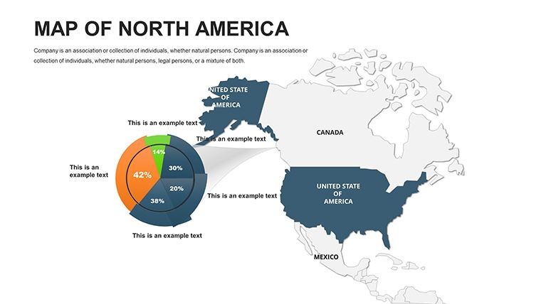
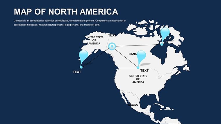
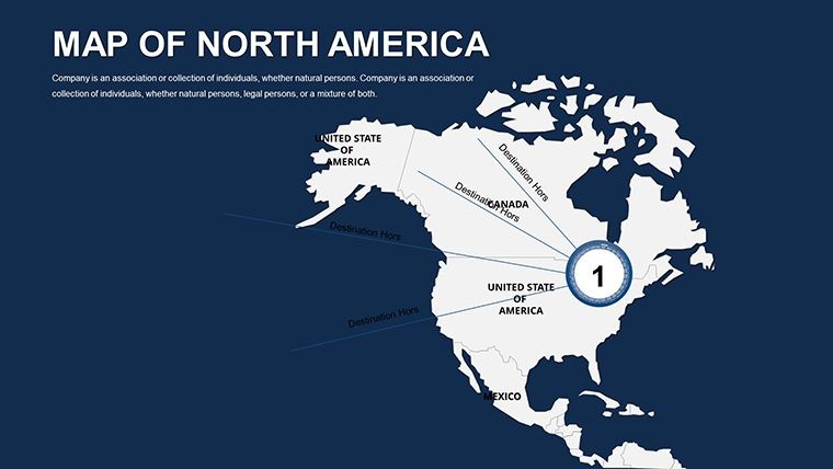
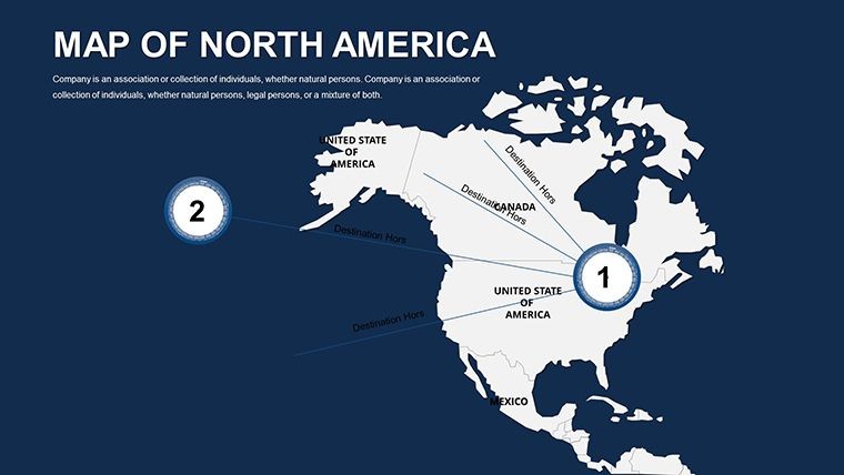
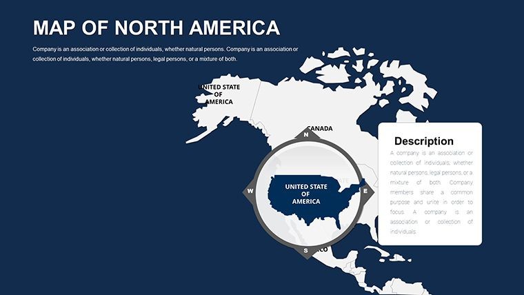
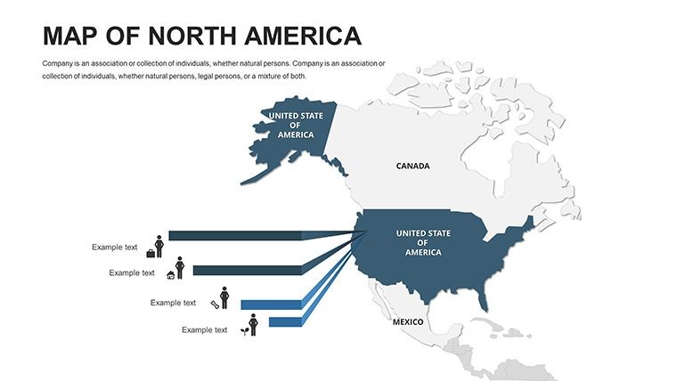
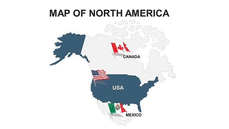
North America’s dynamic interplay of economies, cultures, and landscapes demands visuals that capture its breadth and depth. Our North America Countries Keynote Maps template, with 42 editable slides, is the ideal companion for professionals navigating this diverse continent. From trade analysts bridging U.S.-Canada borders to travel agents plotting Mexican Riviera routes, this Keynote-optimized set turns geographical complexity into clear, compelling narratives that drive action.
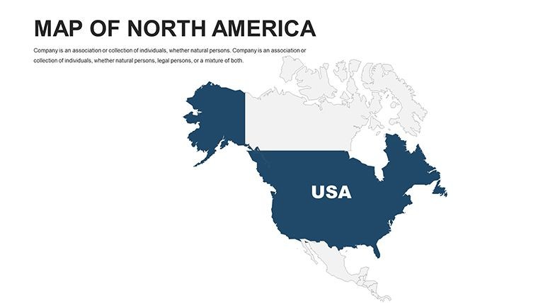
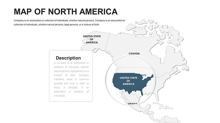
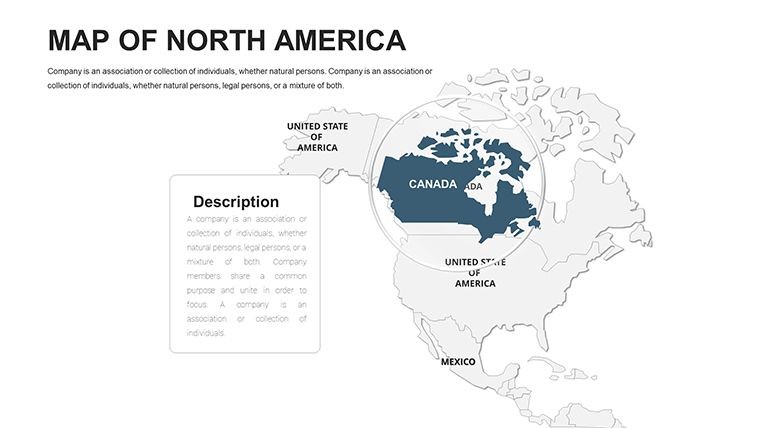
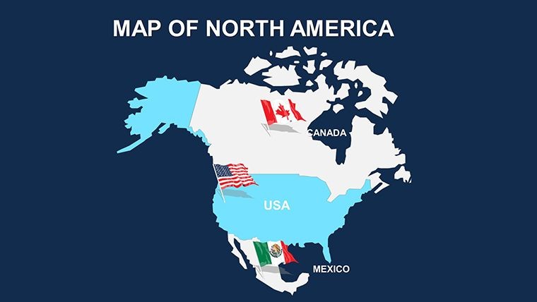
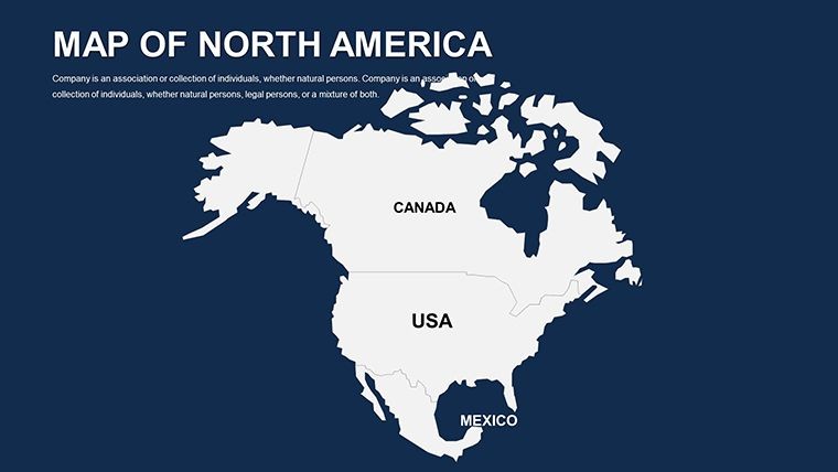
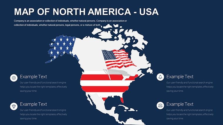
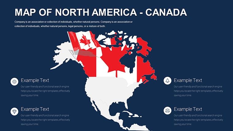
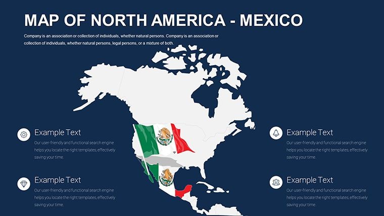
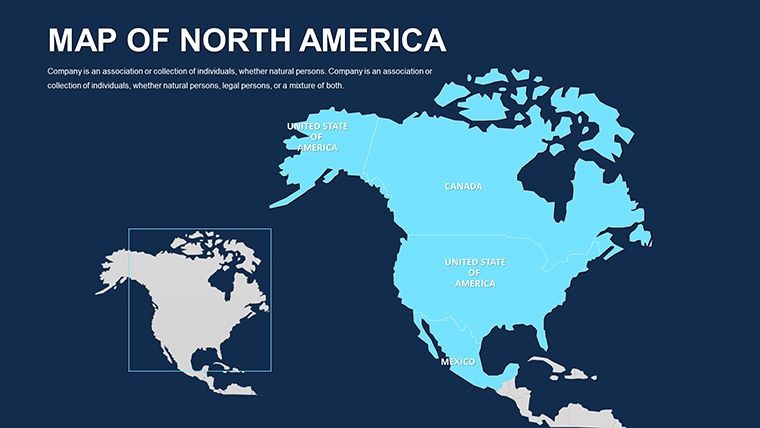
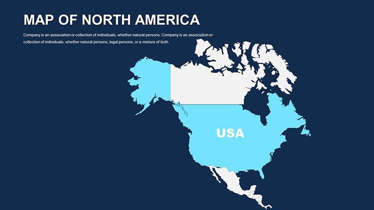
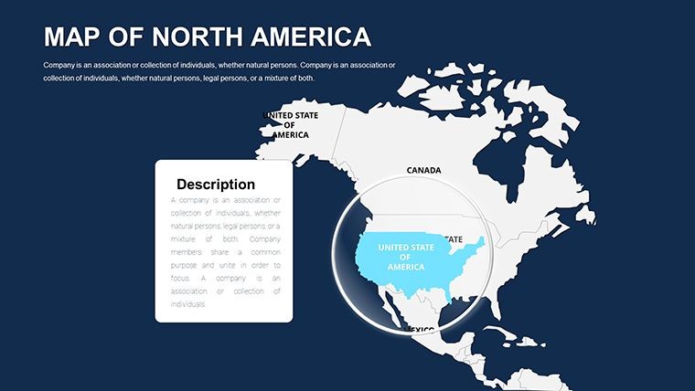
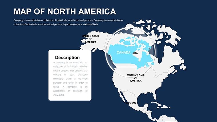
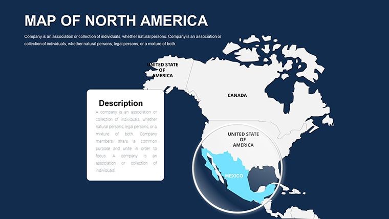
Featuring clean lines and movable elements, the template spotlights countries like the U.S., Canada, Mexico, and beyond Central American ties. Vector designs ensure every edit - from color shifts for economic zones to label additions for capitals - remains sharp and professional, ready for any presentation venue.
Essential Features for North American Mastery
The template's 42 slides offer a balanced mix of macro views and micro details, empowering users with tools for precise storytelling.
- Country-Level Editability: Adjust boundaries for U.S. states, Canadian provinces, or Mexican regions with drag-and-drop ease.
- Modern Visuals: Sleek aesthetics with icons for industries like tech in Silicon Valley or oil in Alberta.
- Animation Flows: Sequence country highlights for migration or trade discussions, adding drama.
- Beginner-Friendly: Quick guides for layering data, from GDP overlays to environmental markers.
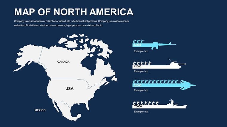
- Versatile Infographics: Timelines for NAFTA evolutions or charts for tourism stats.
Aligned with international trade visualization norms, these elements foster trustworthy, data-backed slides that stand up to scrutiny.
Tailored Use Cases: From Boardrooms to Classrooms
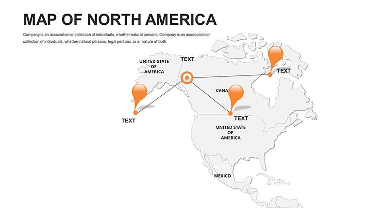
Business consultants can map supply chains on slide 20, linking auto parts from Detroit to assembly in Mexico City. Educators might use slide 11 to explore indigenous territories, animating cultural exchanges. Travel pros benefit by customizing itineraries on slide 36, highlighting eco-tourism in Costa Rica.
Researchers overlay resource distributions - think water rights across the Rio Grande - on slide 29, informing policy debates. In contrast to static maps, this template's modularity saves 60% on design effort, enabling focus on insights like post-pandemic recovery variances.
- Input Regional Data: Sync with spreadsheets for auto-populating economic figures.
- Highlight Key Areas: Color-code for themes like urban density in megacities.
- Build Animations: Fade in connections, such as highways linking Toronto to Chicago.
- Finalize Output: Export for apps or videos, retaining editability.
A practical case: Urban planners have used it to visualize cross-border infrastructure, aiding grant approvals with vivid, editable proposals.
Strategic Tips for Continental Presentations
Leveraging expertise in regional studies, incorporate terms like "cross-border analytics" for contextual richness. For accuracy, verify data against sources like NAFTA reports. Enhance UX with mobile previews for on-the-go edits.
Pair with mapping software for satellite integrations, then polish in Keynote. For nonprofit campaigns, use thematic icons to depict conservation efforts in the Rockies.
Connect the Continent: Get Your Template Now
Bridge gaps and illuminate paths - download this template and customize your North American story today!
Frequently Asked Questions
Does it cover Central American countries?
Yes, includes editable elements for the full North American scope.
How easy is it for beginners?
Very - includes tutorials for basic edits in under 15 minutes.
Can I add custom borders for territories?
Absolutely, vector tools allow precise modifications.
Suitable for travel presentations?
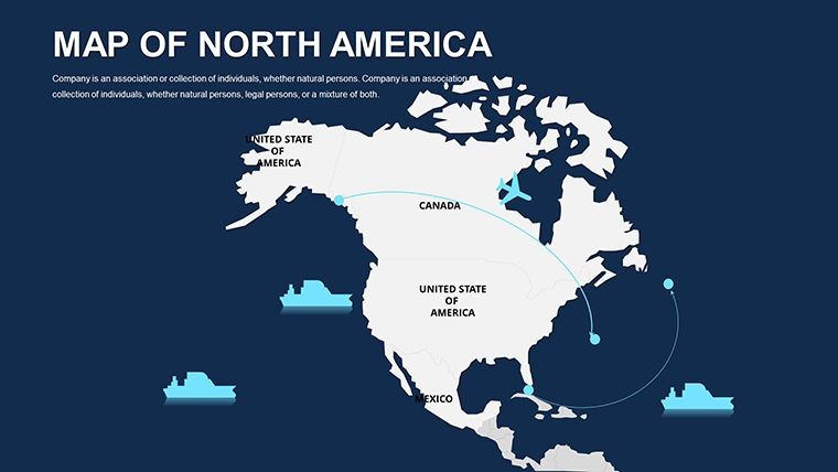
Ideal, with placeholders for routes and attractions.
File compatibility details?
Native Keynote; convertible to PowerPoint with minor adjustments.
Updates for political changes?
Free revisions provided as needed.
Good for
- Project roadmaps and sprint plans
- Product launch timelines
- Quarterly or annual review decks
- Company history and milestone summaries
Licence
reviews
The world map visuals helped explain regional trends clearly.
I only needed a few slides but editing was smooth.
Worked okay for my business report.
FAQ
Will it work in Google Slides?
Are fonts embedded?
Can I use this for client work?
What's the refund policy?
Do you update the template after purchase?
Similar templates
See all Keynote Maps →
All 42 slides