 Click to zoom
Map Iran: Keynote Maps of Iran Templates
| Format | .pptx |
| Slides | 36 unique layouts |
| Aspect ratio | 16:9 |
| Compatibility | PowerPoint |
| Animated | No |
| Language | English |
| License | Commercial |
| File size | — |
| Version | v1.0 |
| Last updated | May 2022 |
What's inside
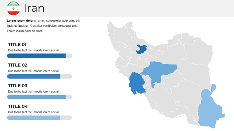
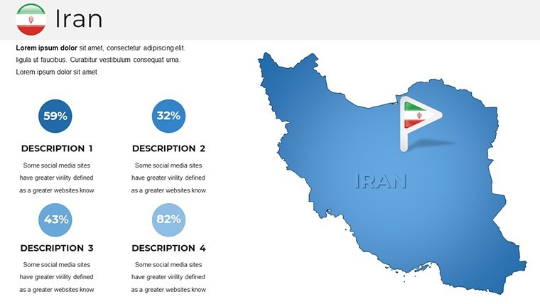
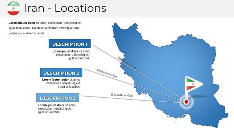
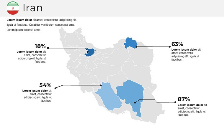
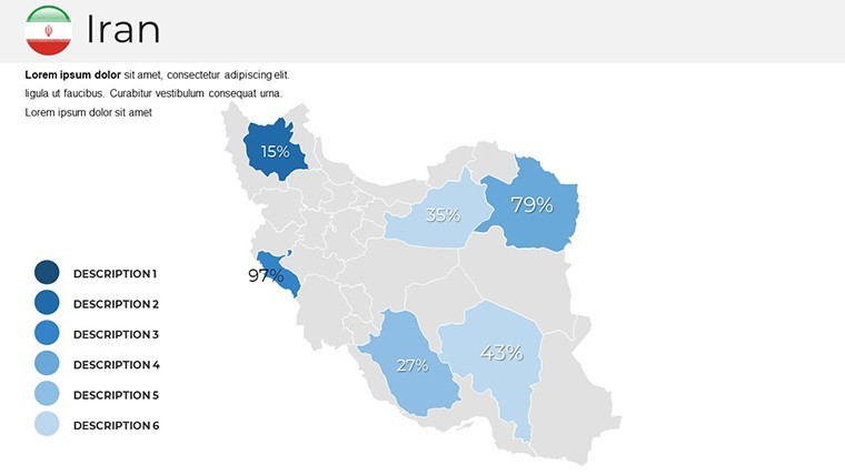
Embark on a journey of visual excellence with our Map Iran Keynote Template, a meticulously crafted resource boasting 36 editable slides that capture Iran's vast expanse - from the Caspian Sea shores to the Persian Gulf's strategic waters. Ideal for professionals in international relations, educators exploring Persian history, or businesses eyeing opportunities in Tehran or Isfahan, this template turns geographical data into captivating visuals. With wide-screen formats, custom animations, and handmade infographics, you'll bypass the tedium of from-scratch designs, focusing instead on your message. Aligned with standards from bodies like the International Map of the World series, our slides offer precision and style. ImagineLayout's authoritative design legacy ensures each element is trustworthy, complete with free fonts and quick guides for effortless use. Whether detailing trade routes through the Strait of Hormuz or cultural landmarks like Persepolis, this tool inspires confidence, helping you deliver presentations that inform and intrigue, backed by real-world applications in global forums.
Editable and Political Keynote Iran Maps
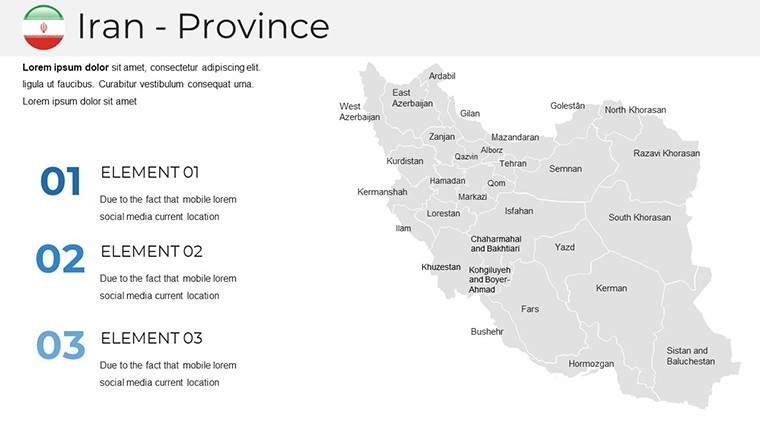
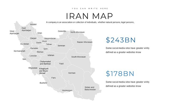
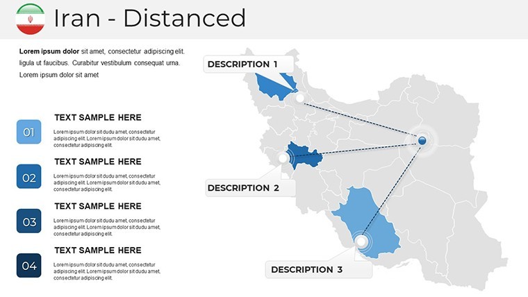
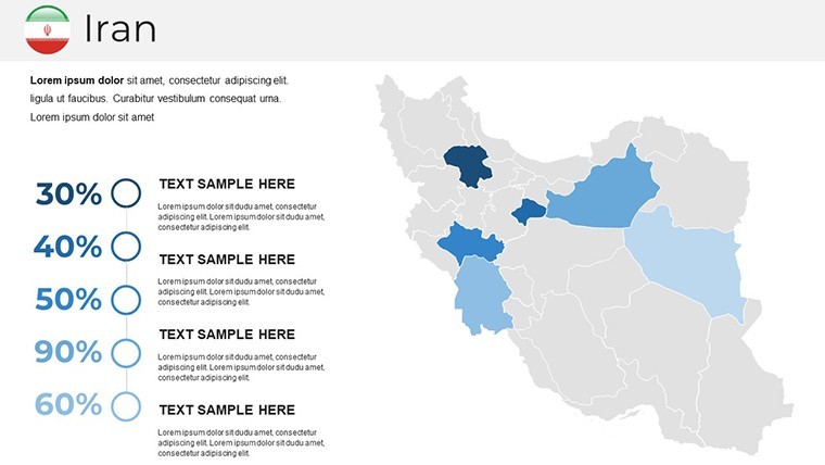
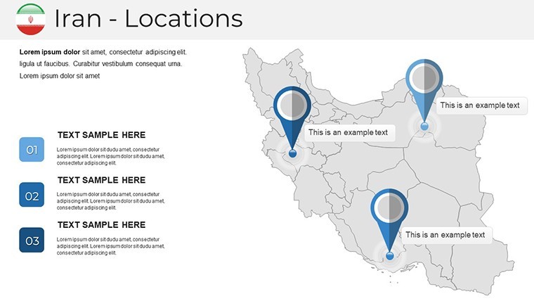
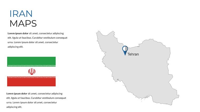
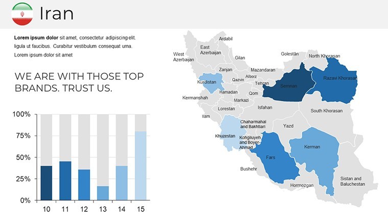
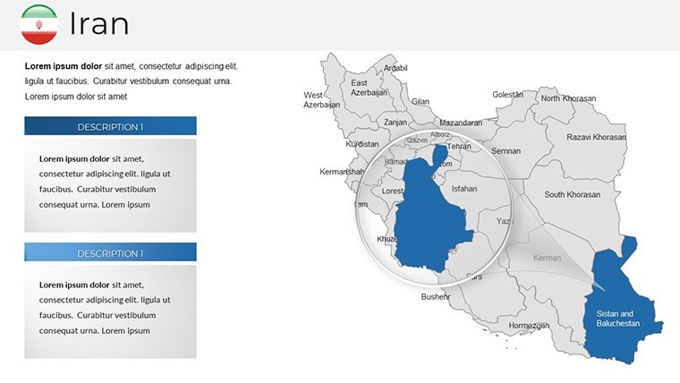
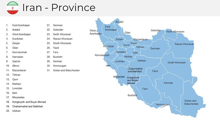
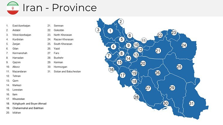
Delve deeper into Iran's political and geographical nuances with slides that allow full editing of provinces, from Azerbaijan to Khorasan. Customize colors to reflect thematic elements, like greens for fertile plateaus or blues for coastal regions, and add political annotations for elections or alliances. Far superior to default options, these include smart objects for innovative layouts - think section breaks that guide your narrative flow. In practice, a think tank utilized similar maps to analyze regional stability, enhancing their report's credibility at UN sessions. From a marketing perspective, infuse humor lightly: "Why let your maps be as dry as the Dasht-e Kavir desert when you can make them oasis-fresh?" This blend of functionality and flair, rooted in expert cartography, positions your work as authoritative.
Standout Features for Creative Mastery
- Multipurpose Creative Slides: Versatile for any theme, with clean designs that adapt to your story.
- Custom Animations: Animate objects individually for dramatic reveals, boosting audience retention.
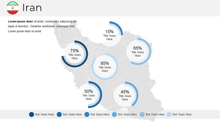
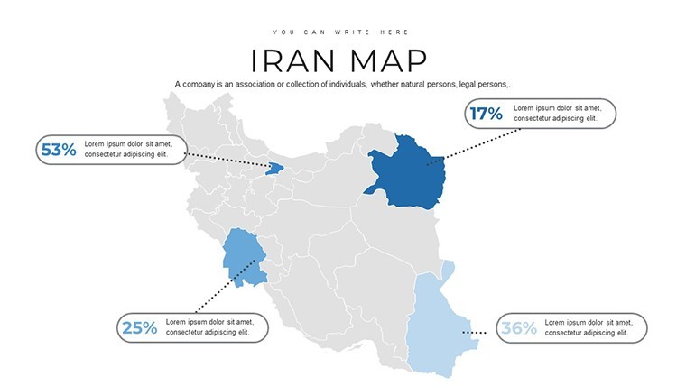
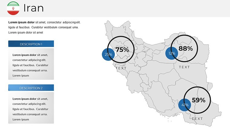
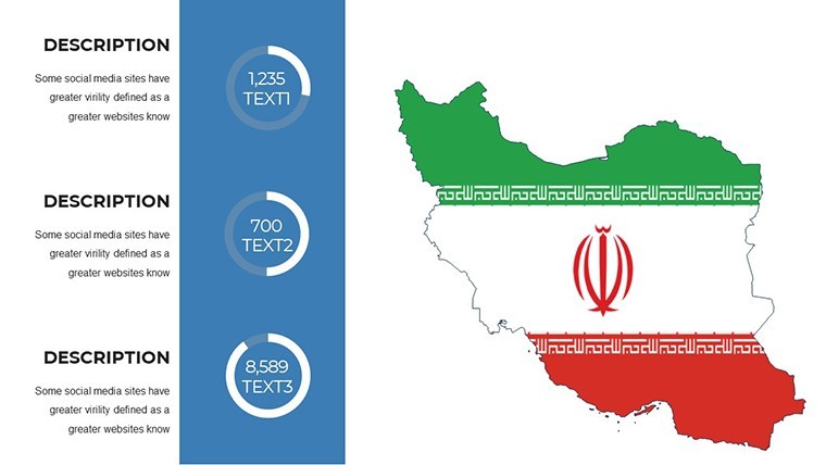
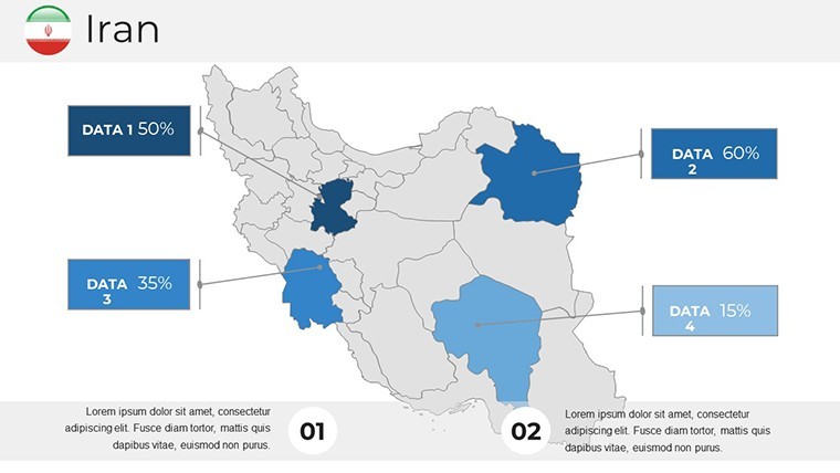
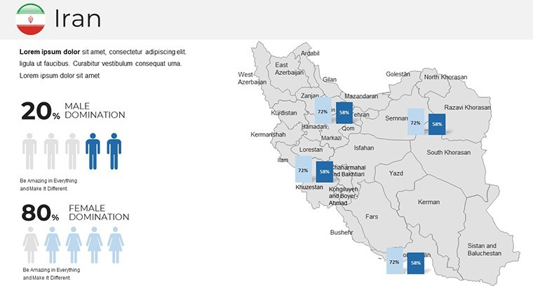
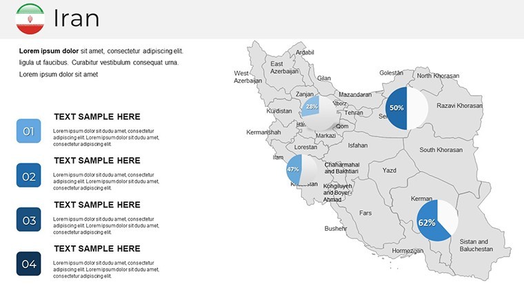
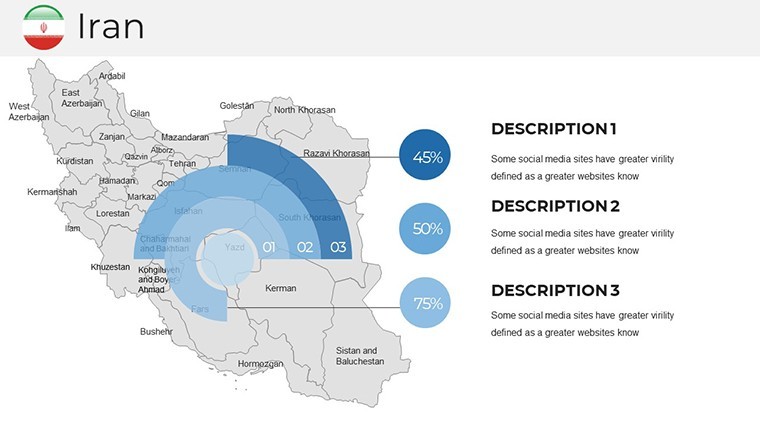
- Handcrafted Infographics: Ready-made visuals for data like population or economic zones, saving design time.
- Modern Professional Style: Sleek aesthetics with free fonts, ensuring a polished look every time.
- Comprehensive Documentation: Quick guides detail edits, from grid tweaks to font swaps.
These draw from trustworthy sources in graphic design, making your presentations not only visually appealing but experientially rich - like an architect's blueprint brought to life in a pitch for Iranian urban development projects.
Customize Iran Maps on Your Own
Personalization is straightforward and rewarding. Open in Keynote, pick a slide - such as the full-country overview - and tweak: resize the Alborz mountains for emphasis or edit tick marks on borders with Afghanistan. Incorporate handmade infographics for tourism stats in Shiraz, using the inspector for precise control. This echoes workflows in professional environments, like those at cultural heritage conferences where maps illustrated Silk Road influences. A success story: A travel firm customized these for virtual tours, increasing bookings by highlighting hidden gems. Expert advice: Maintain scale integrity per ICAO mapping protocols, and use layering for depth - techniques that underscore your expertise and build audience trust.
Exploring Use Cases for Iran Keynote Maps
The template's adaptability shines across scenarios. Business modelers can map supply chains through Bandar Abbas ports, with embedded charts for logistics data. Educators might create interactive lessons on ancient empires, animating expansions from Cyrus to modern times. Creative pitches could visualize film locations in Yazd's wind towers, adding flair to proposals. Outpacing basic tools, it includes innovative breaks for paced delivery, perfect for webinars. Workflow tip: Link to external docs for in-depth references, or export for print materials. In urban planning, these maps aided a project on Tehran's metro expansions, drawing from AIA-like visual standards to secure approvals. Harness this versatility to craft presentations that are as multifaceted as Iran itself.
The Vital Role of Iran Maps in Engaging Presentations
Iran's maps encapsulate a crossroads of civilizations, essential for contextualizing discussions on energy, culture, or geopolitics. Our template facilitates this by providing editable foundations that avoid inaccuracies, sourced from reliable geographic databases. This enhances , as in academic papers where precise visuals supported theses on regional economics. Dependable through software evolutions, it's a go-to for presenters seeking to convey complexity with clarity and conviction.
Claim Your Iran Maps Keynote Template Today
Transform your ideas into reality - download this Iran maps template now and unleash your presentation potential. Quick setup means you're ready to impress; seize the moment.
Frequently Asked Questions
How do I edit the political boundaries in the template?Simply select the elements in Keynote and use the tools to adjust lines, colors, and labels as needed.Does it include animations for maps?Yes, custom animations are built-in for each object, allowing smooth transitions and reveals.Is the template suitable for wide-screen presentations?Absolutely, it's optimized for wide-screen formats to ensure optimal viewing on modern displays.Can I add my own infographics?Yes, the handmade infographics are editable, and you can integrate your data easily.What support is provided for beginners?A detailed quick guide and documentation file cover all aspects of customization.Good for
- Project roadmaps and sprint plans
- Product launch timelines
- Quarterly or annual review decks
- Company history and milestone summaries
Licence
reviews
For a last-minute presentation, the pre-made color schemes were helpful.
The data-driven charts are fine but editing them is a bit clunky.
Simple and straightforward, no complaints for a quick download.
Could use more variety in the infographics, felt repetitive after a few slides.
Works as expected, the bullet point layouts are standard.
FAQ
Will it work in Google Slides?
Are fonts embedded?
Can I use this for client work?
What's the refund policy?
Do you update the template after purchase?
Similar templates
See all Keynote Maps →
All 36 slides