Click to zoom
Japan Editable Maps Keynote Template: Eastern Horizons Unveiled
| Format | .pptx |
| Slides | 50 unique layouts |
| Aspect ratio | 16:9 |
| Compatibility | PowerPoint |
| Animated | No |
| Language | English |
| License | Commercial |
| File size | — |
| Version | v1.0 |
| Last updated | May 2022 |
What's inside
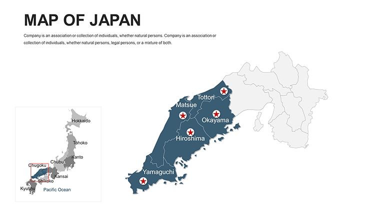
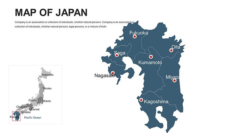
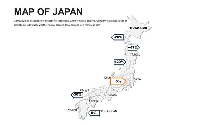
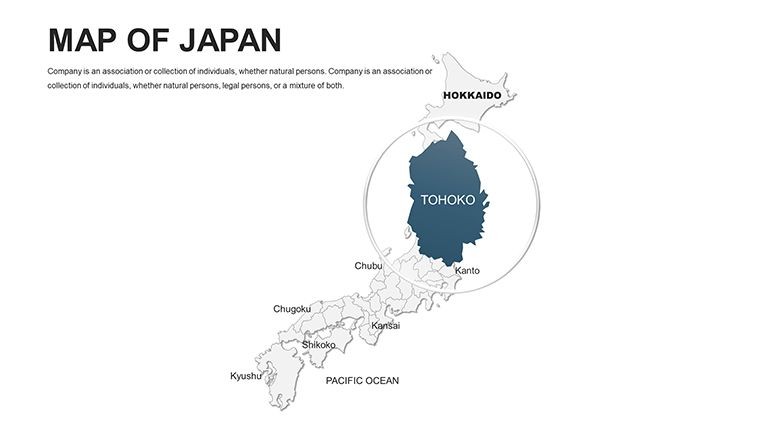
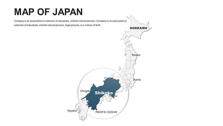
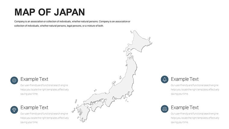
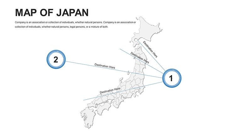
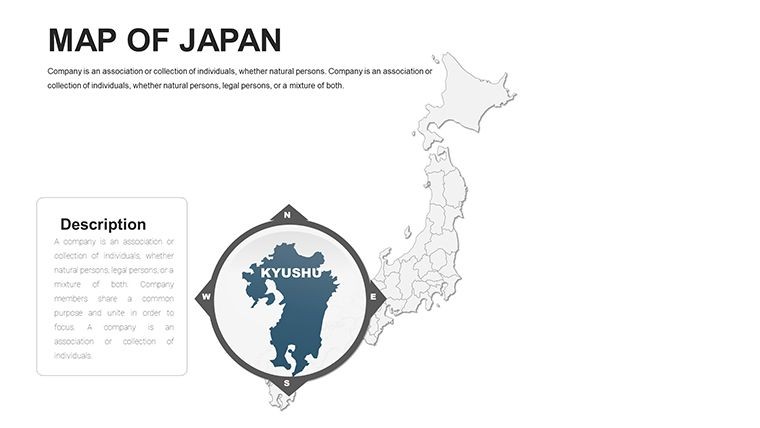
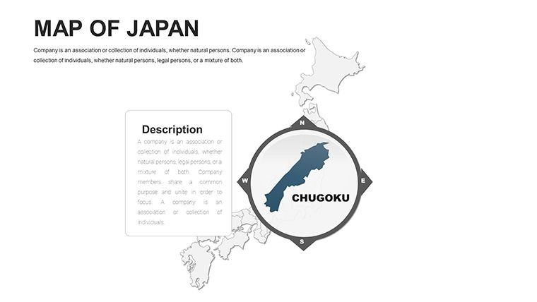
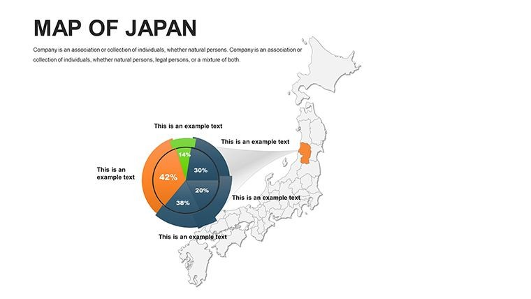
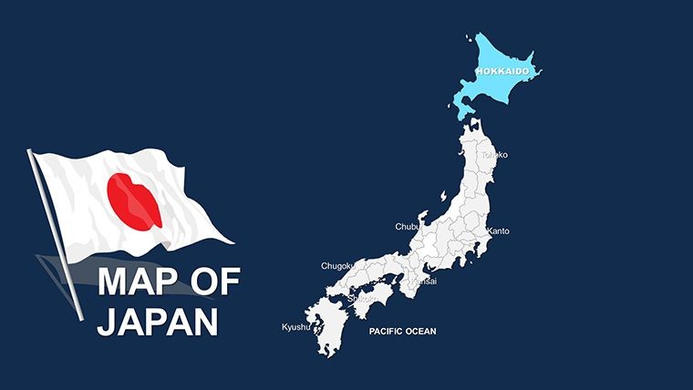
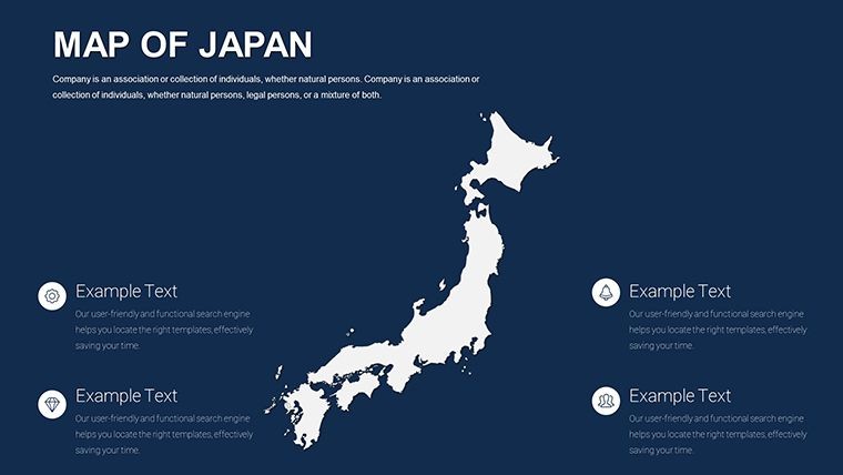
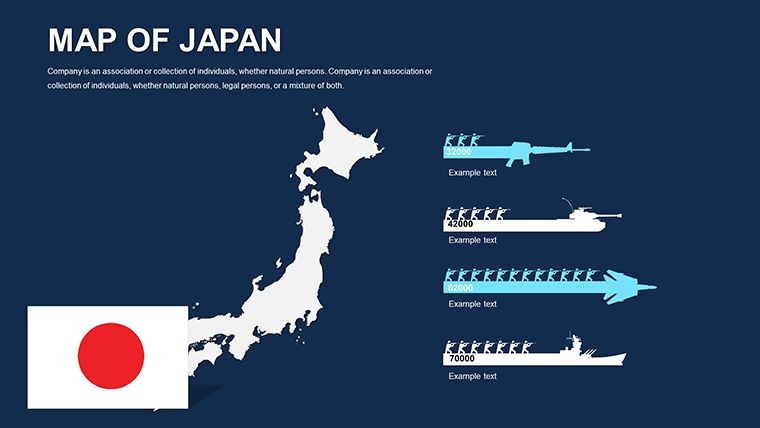
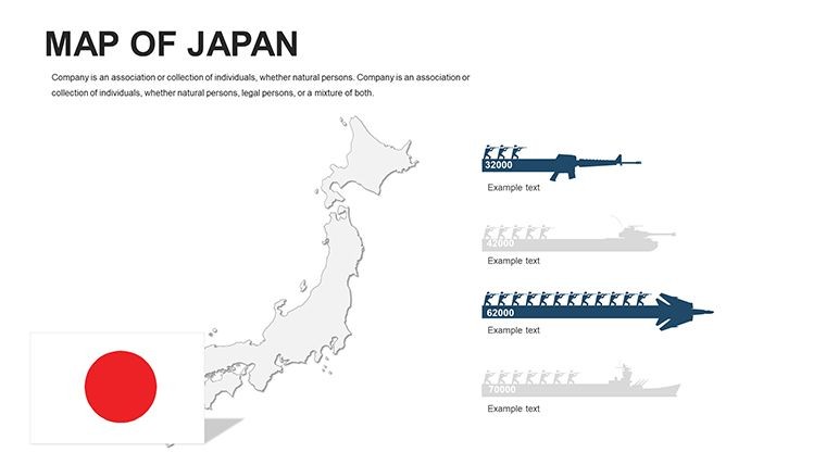
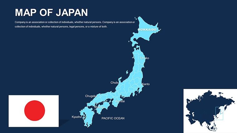
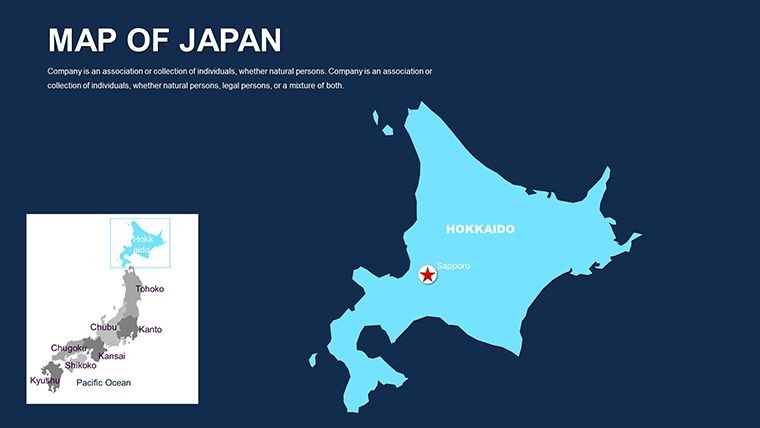
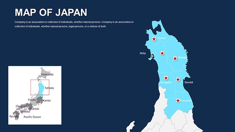
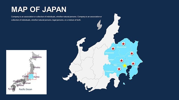
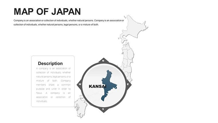
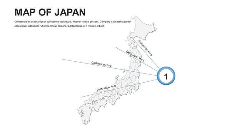
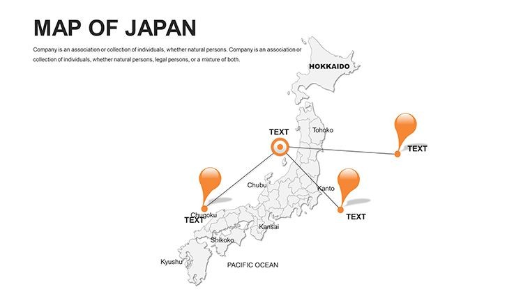
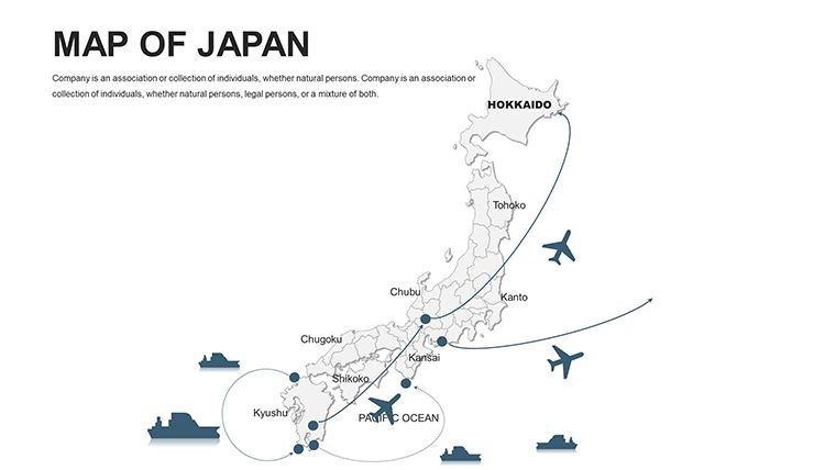
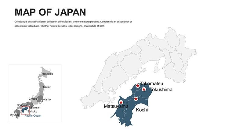
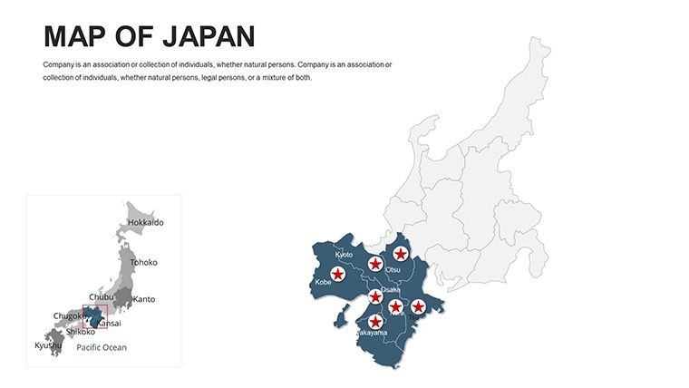
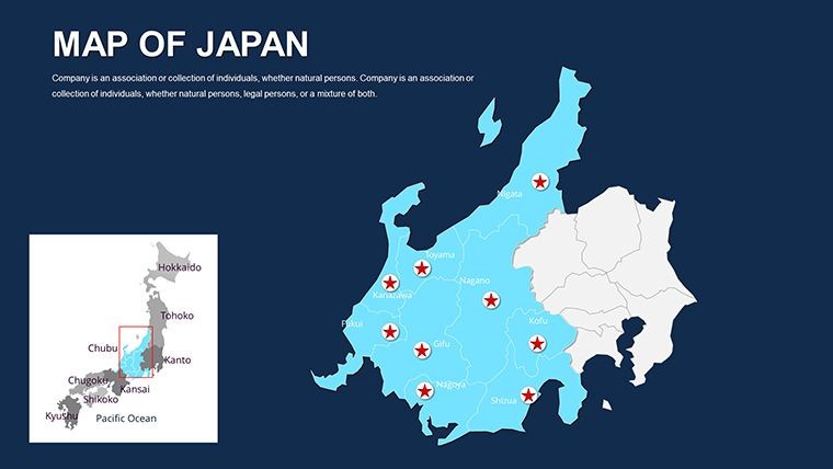
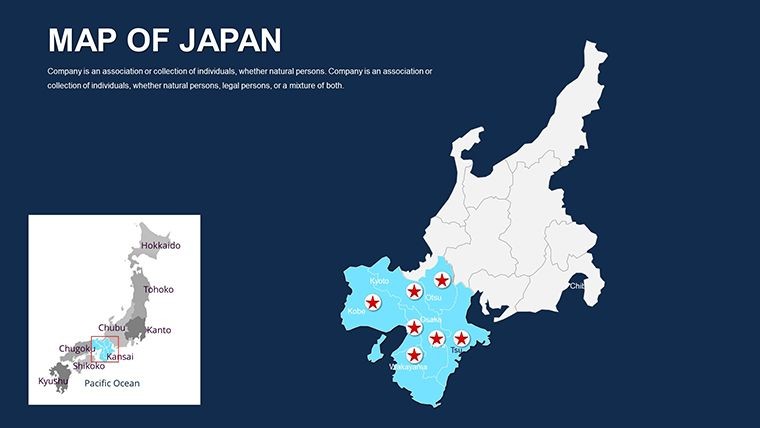
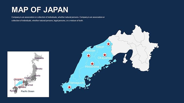
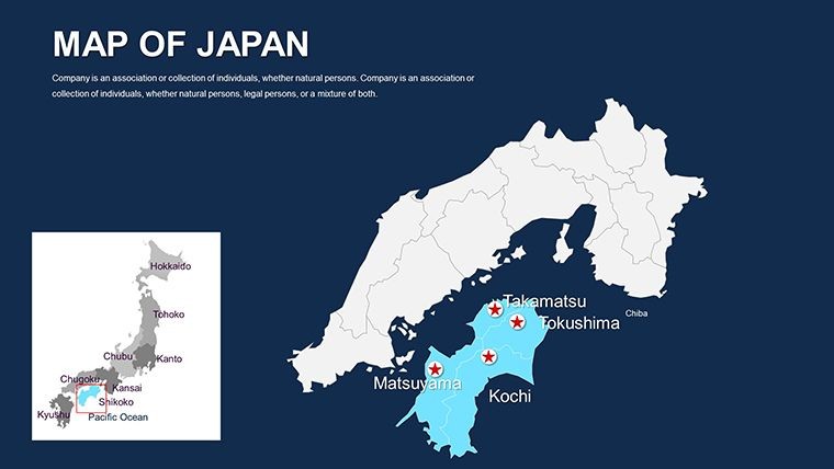
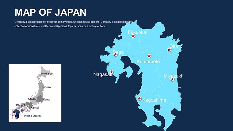
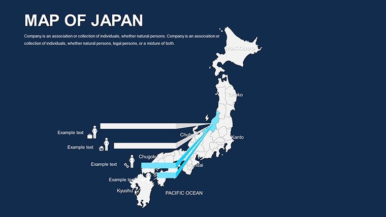
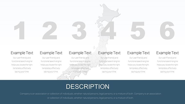
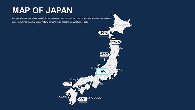
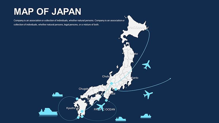
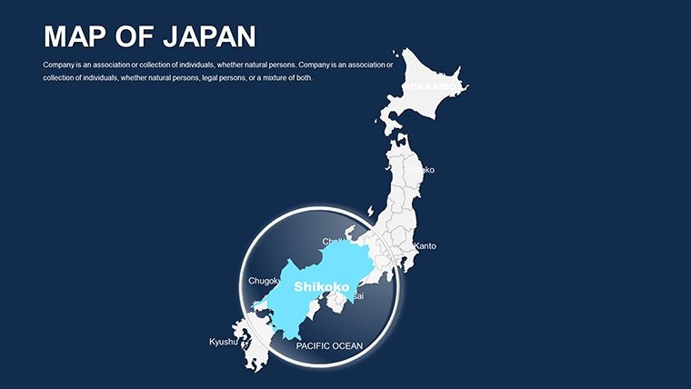
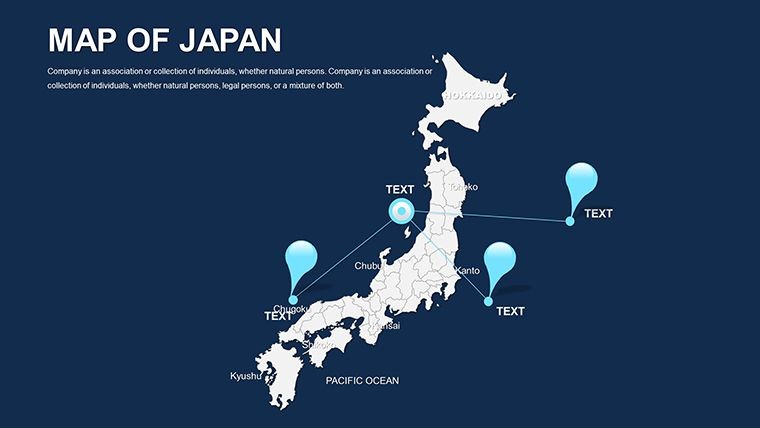
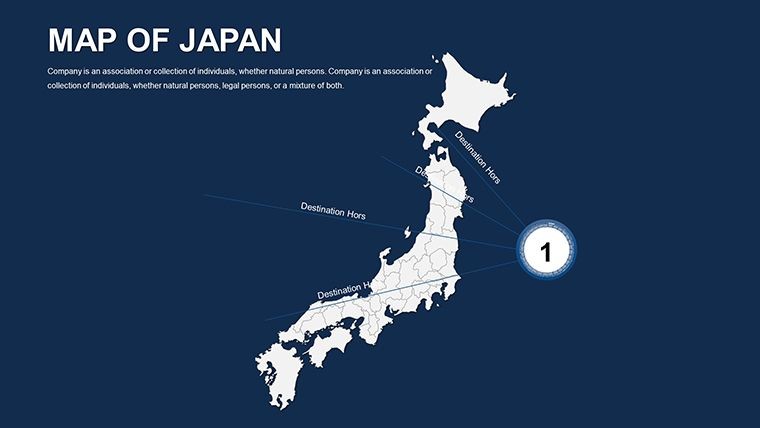
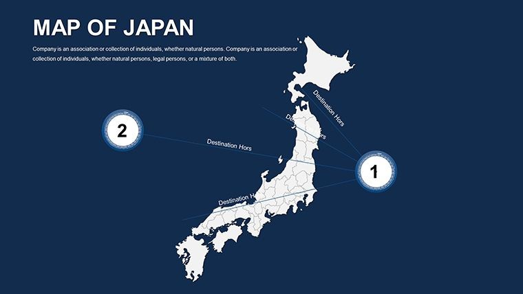
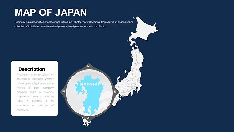
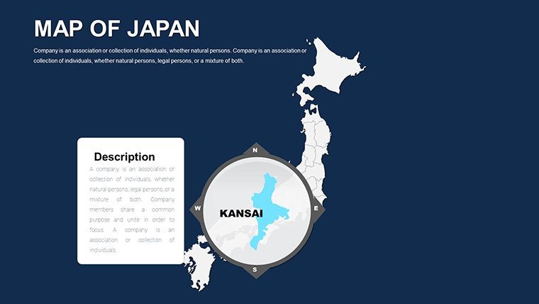
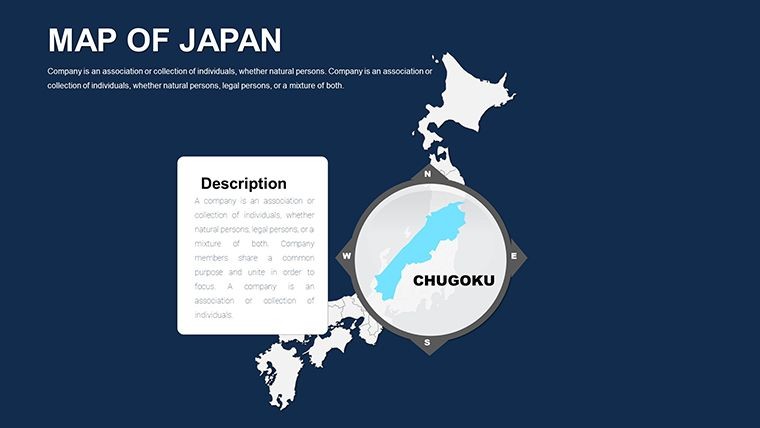
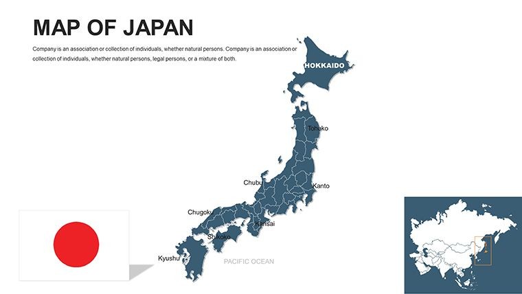
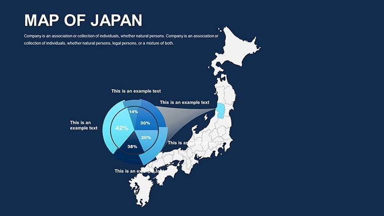
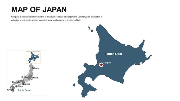
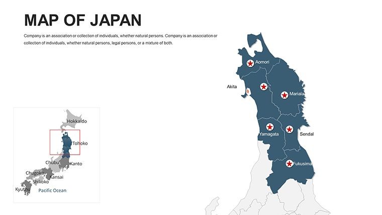
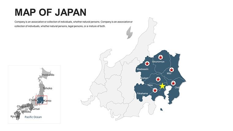
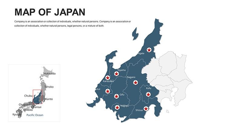
Step into a world where ancient traditions meet cutting-edge innovation, visualized through our Japan Editable Maps Keynote Template. Boasting 50 editable slides, it's crafted for tech entrepreneurs pitching in Tokyo, cultural scholars exploring feudal histories, or business analysts tracing supply chains from Hokkaido to Okinawa. Optimized for Keynote, with full support for PowerPoint and Google Slides, this template allows you to reshape islands, prefectures, and urban sprawls to fit your story - infusing presentations with authentic geographic depth.
Japan's archipelago demands maps that honor its island-hopping complexity; ours, informed by Japanese Geographical Survey Institute standards, provide just that. From seismic zone overlays to economic corridor highlights, these slides empower you to navigate narratives with poise and precision.
Embracing Customizable Japanese Archipelagic Design
Rich in variety, the template includes slides from nationwide panoramas to detailed prefectural dives, covering over 3,000 islands with scalable detail. Every component invites personalization, blending utility with aesthetic harmony.
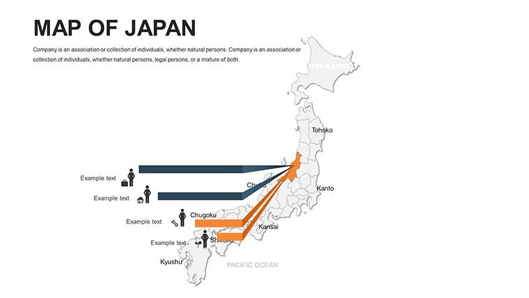
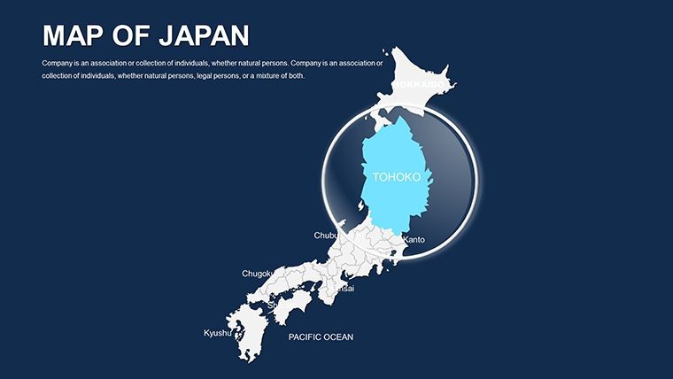
- Island and Prefecture Editing: Reshape or highlight areas like Kyoto's historic districts or Osaka's commercial veins.
- Cultural Icon Suite: 130+ elements, from samurai motifs to bullet train symbols, for thematic enrichment.
- Harmonious Color Options: Sakura pinks to oceanic blues, adjustable for zen-like serenity or bold contrasts.
- Photo Integration: Seamless embedding of PNGs for Mount Fuji vistas or Tokyo skylines.
Outpacing generic tools, it reduces iteration cycles dramatically, as tech firms like Sony have utilized akin resources for global roadshows. It's more than maps - it's a canvas for strategic expression.
Workflow Essentials: Assembling Japan-Inspired Presentations
- Map Selection: Begin with an archipelago overview; isolate Honshu for mainland-focused tales.
Good for
- Project roadmaps and sprint plans
- Product launch timelines
- Quarterly or annual review decks
- Company history and milestone summaries
Licence
reviews
I liked that the labels were editable.
Some slide backgrounds were a little boring.
Would use again for school work.
The map visuals helped explain travel data during class.
FAQ
Will it work in Google Slides?
Are fonts embedded?
Can I use this for client work?
What's the refund policy?
Do you update the template after purchase?
Similar templates
See all Keynote Maps →
All 50 slides