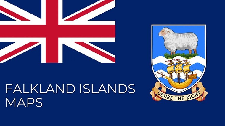
 Click to zoom
Falkland Islands Maps Keynote Template: Islands of Innovation
| Format | .pptx |
| Slides | 9 unique layouts |
| Aspect ratio | 16:9 |
| Compatibility | PowerPoint |
| Animated | No |
| Language | English |
| License | Commercial |
| File size | — |
| Version | v1.0 |
| Last updated | May 2022 |
What's inside
Scattered like emerald jewels in the South Atlantic, the Falkland Islands beckon architects and environmental planners with their rugged isolation and untapped potential. The Falkland Islands Maps Keynote Template captures this essence in 9 meticulously crafted, editable slides - optimized for Keynote with straightforward PowerPoint portability. Whether you're conceptualizing wind farms on East Falkland or eco-lodges amid the 200+ smaller isles, this template equips you to paint persuasive pictures that bridge remote realities with visionary designs, all while honoring the archipelago's delicate ecology.
Dive into a toolkit born from the needs of polar-adjacent projects: Crisp outlines of Soledad (East) and Gran Malvina (West), dotted with penguin colonies and peat bogs, ready for your overlays. Inspired by firms tackling similar terrains - like the Antarctic Heritage Trust's modular builds - this deck adheres to RIBA guidelines for remote site visuals, featuring 30+ Antarctic-themed icons from tussac grass motifs to albatross flight paths. Say goodbye to pixelated imports; embrace vectors that scale for everything from intimate team huddles to expansive UN climate forums, reclaiming time for creative leaps over cartographic chores.
Compact Power: Essential Features for Island Mapping
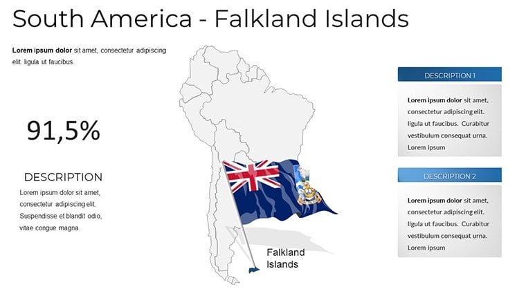
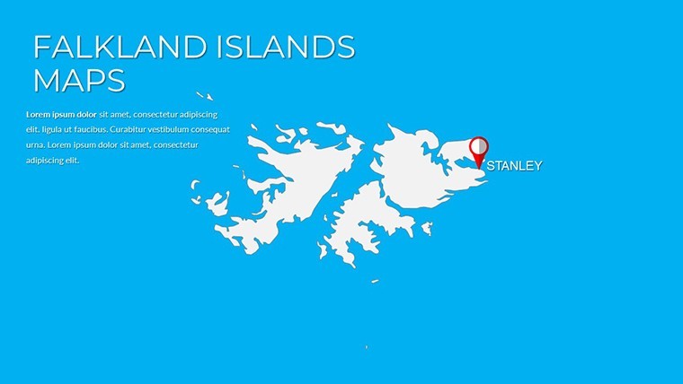
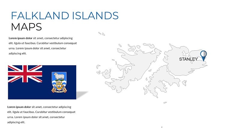
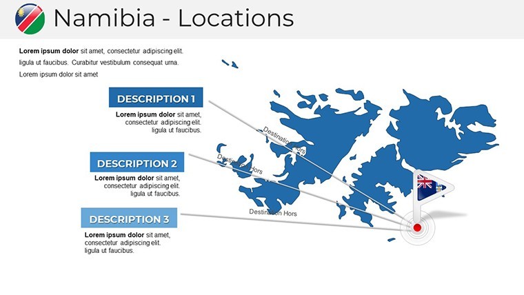
Though concise at 9 slides, this template packs a punch with focused functionality. Lead with slide 1's dual-island panorama, encompassing the Falklands' 12,000 sq km sprawl, complete with bathymetric hints for offshore extensions.
- Islet Cluster Views: Inset maps for the 200 minor islands, ideal for micro-zoning wildlife corridors in biodiversity pitches.
- Overlay Flexibility: Transparent layers for climate projections, like rising sea levels around Stanley Harbour - drag in your models effortlessly.
- Visual Aids Suite: Compact gauges for wind speeds, hex bins for terrain roughness, styled in cool blues evoking subantarctic mists.
Subtle builds animate island "emergences," mirroring geological tales to hook audiences from the outset. Cross-platform harmony with Google Slides ensures global reach.
Spotlight Story: Sustainable Outposts in the Winds
Think of the recent Saunders Island research station, where UK architects mapped peat preservation zones via Keynote layers, clinching eco-funding with stark before-after contrasts. Replicate with slide 5: A split-view diagram overlaying current kelp forests against proposed boardwalks, quantifying erosion reductions per AIA sustainability metrics. This approach not only visualizes but validates, positioning you as an authority in insular design.
Efficient Editing: Your Quick-Start Guide
- Base Layer Setup: Tweak the core Falklands silhouette with SVG imports from BAS datasets - aligns in seconds via auto-snapping.
- Infuse Intelligence: Bind charts to remote sensors' APIs for live gust data, crucial for resilient structure validations.
- Motion Mastery: Stagger reveals for multi-island tours, guiding eyes from West Falkland's hills to East's ports.
- Versatile Outputs: Generate web embeds or animated GIFs for social shares, amplifying your remote project's visibility.
Insider tip: Use the template's grid system to enforce scale consistency, a nod to cartographic best practices from the ICA.
Outshining Simples: The Falklands Advantage
Basic diagramming apps falter on niche scales, ignoring the Falklands' quirky 52°S latitude quirks. Here, pre-calibrated projections prevent distortions, slashing prep by 50% per planner testimonials on LinkedIn. Engagement soars as interactive elements turn passive viewers into active explorers.
Spotlight slide 7's connectivity web: Nodes link airstrips to supply chains, customizable for logistics in your Pebble Island outpost concept. Slide 3's elevation profile slices through cliffs, plotting safe build zones against avian habitats.
Versatile Voyages: Tailored for Niche Needs
Ecological architects map invasive species buffers; marine designers chart kelp-farm potentials off Sea Lion Island. Heritage pros overlay WWII relics for commemorative builds, all within this lean framework.
Inclusivity baked in: Audio descriptions for maps and high-legibility palettes support diverse audiences, aligning with universal design tenets.
Chart your course to acclaim - Secure the Falkland Islands Maps Keynote Template immediately and island-hop toward groundbreaking presentations. Download, design, discover.
Frequently Asked Questions
How many islands are detailed in this template?
Core focus on East and West Falkland, with clustered views for the 200+ smaller ones - scalable for specifics.
Is it compatible with presentation software beyond Keynote?
Fully exportable to PowerPoint and Google Slides, retaining all edits and effects.
Can I add real-time environmental data?
Yes, via linked spreadsheets for metrics like tide levels or bird migrations.
What makes it ideal for remote site planning?
Pre-set scales and overlays handle isolation factors like logistics and weather extremes.
Are there themes for subantarctic ecology?
Yes, 30+ icons from lichens to elephant seals for authentic visualizations.
Good for
- Project roadmaps and sprint plans
- Product launch timelines
- Quarterly or annual review decks
- Company history and milestone summaries
Licence
reviews
Saved me maybe an hour of work, not life-changing but decent.
Honestly just wanted something with a clean timeline, this had it.
The font choices are weird on some slides but overall usable.
Used the diagram templates to explain our workflow, my boss liked it.
Icons are modern but there's too many different styles mixed together.
FAQ
Will it work in Google Slides?
Are fonts embedded?
Can I use this for client work?
What's the refund policy?
Do you update the template after purchase?
Similar templates
See all Keynote Maps →
All 9 slides