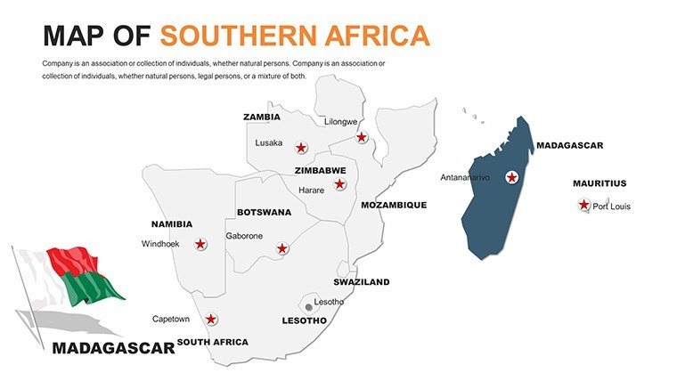
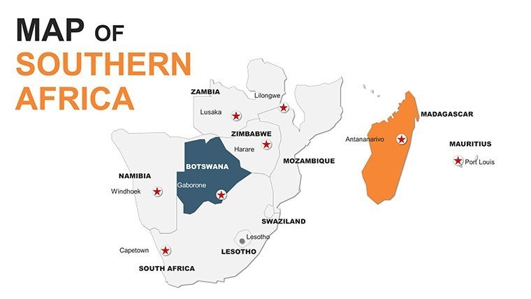
 Click to zoom
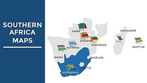
Editable Southern Africa Maps PowerPoint Template
| Format | .pptx |
| Slides | 58 unique layouts |
| Aspect ratio | 16:9 |
| Compatibility | PowerPoint |
| Animated | No |
| Language | English |
| License | Commercial |
| File size | — |
| Version | v1.0 |
| Last updated | May 2024 |
What's inside
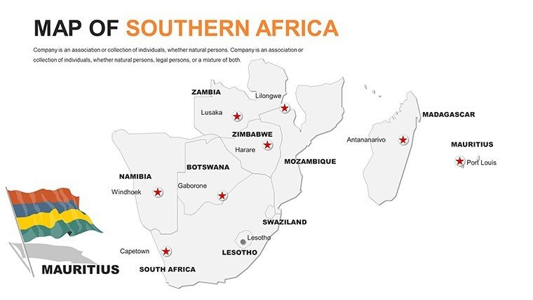
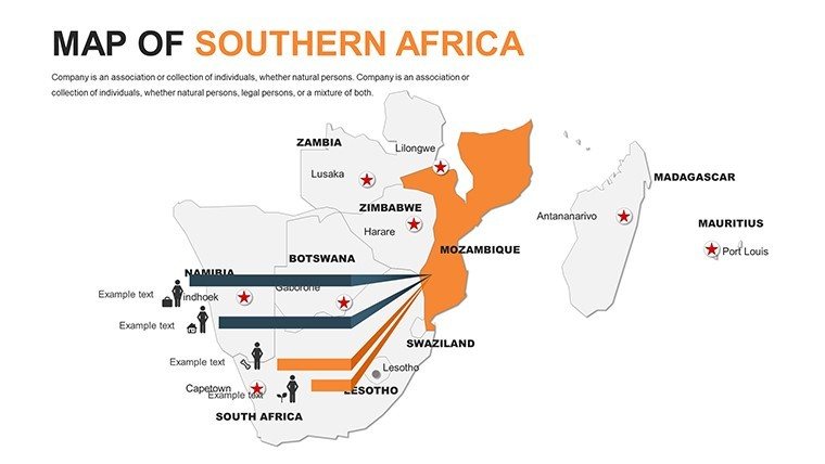
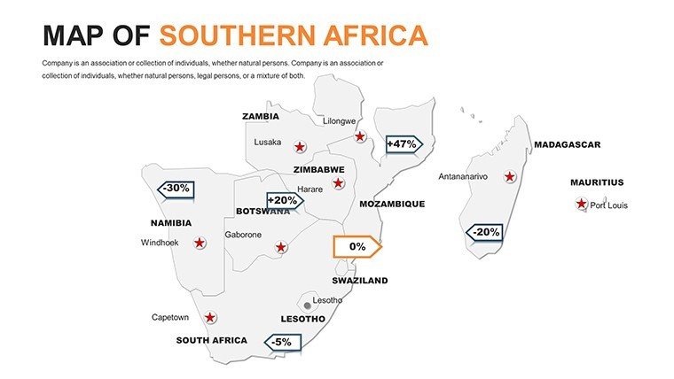
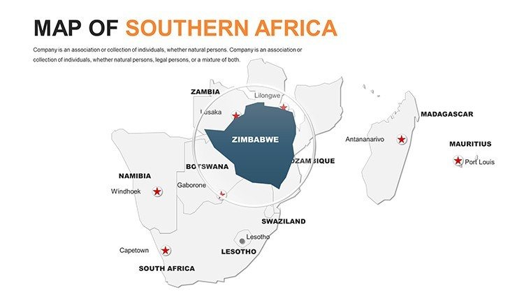
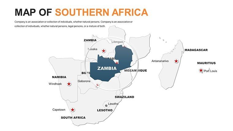
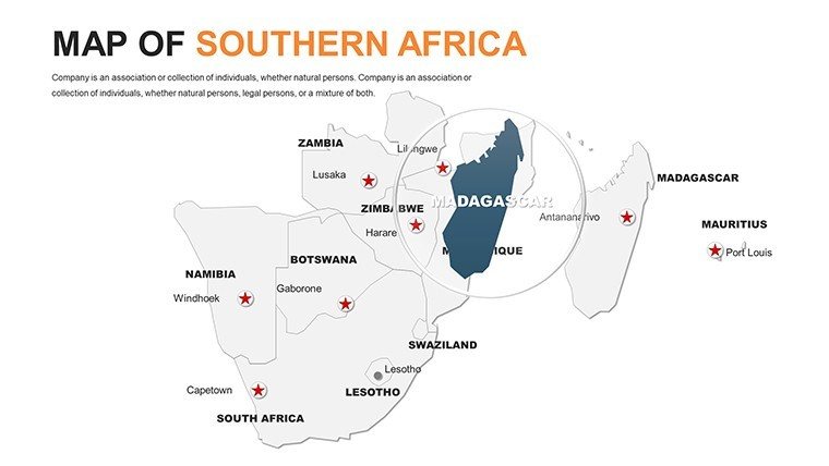
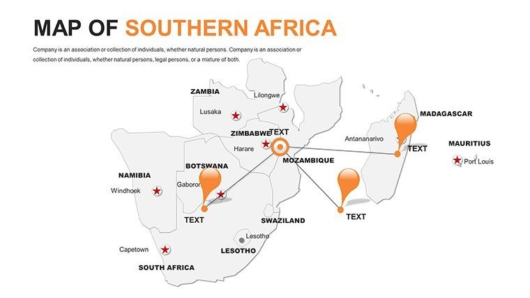
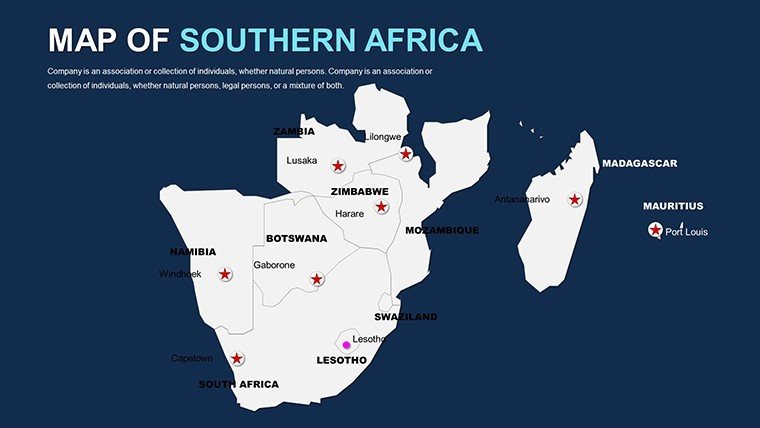
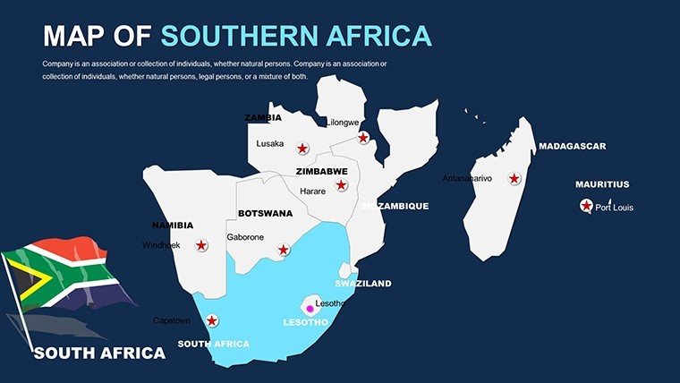
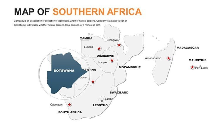
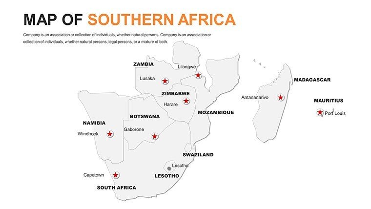
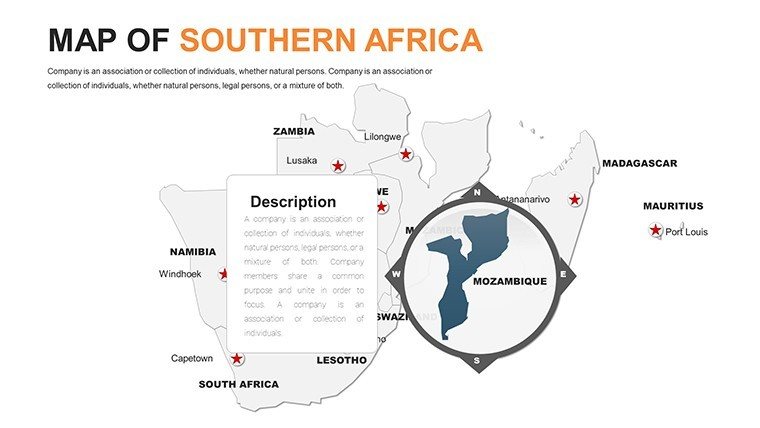
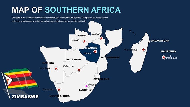
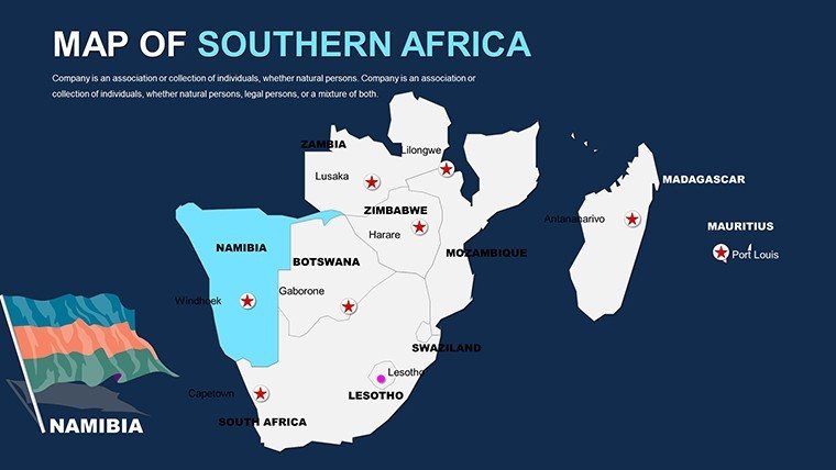
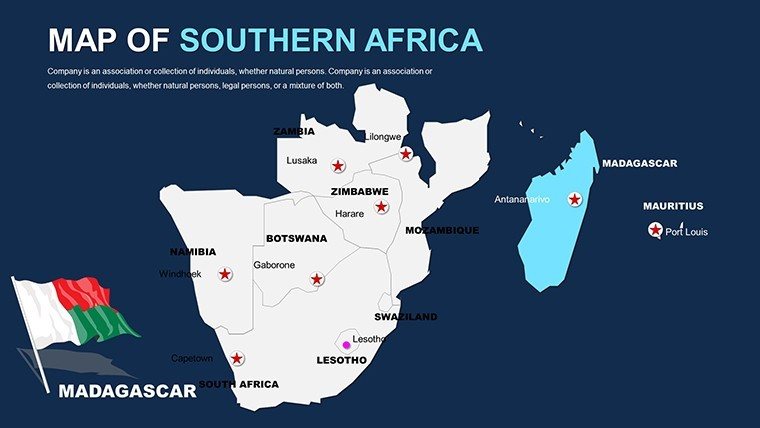
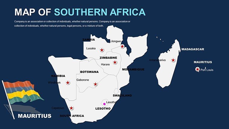
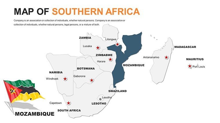
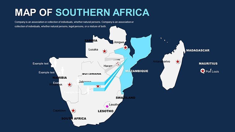
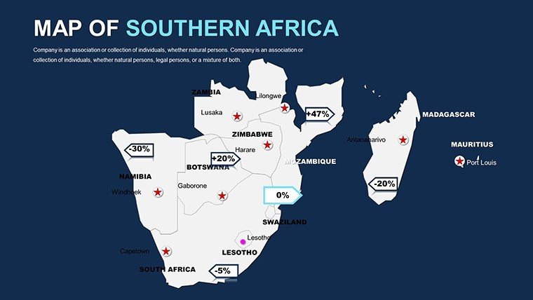
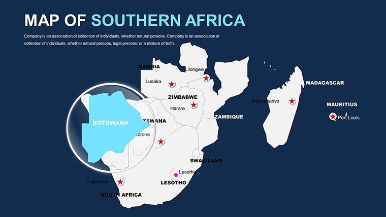
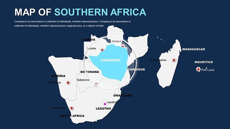
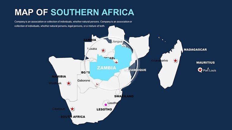
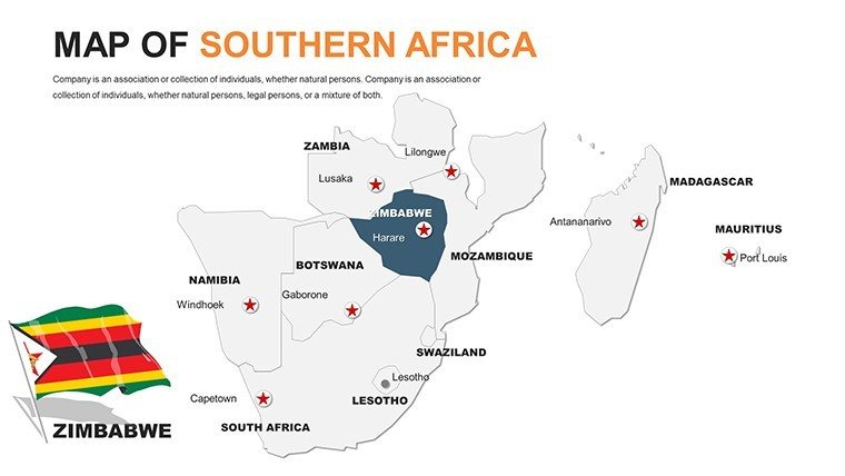
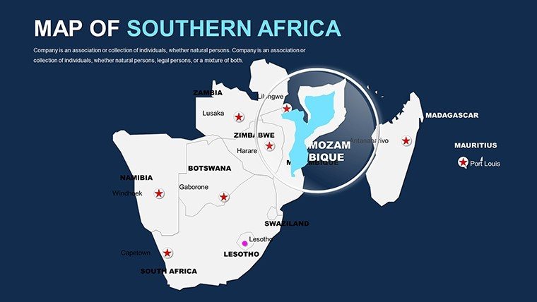
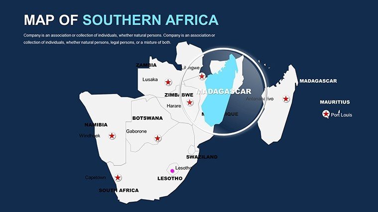
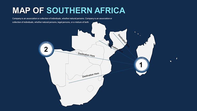
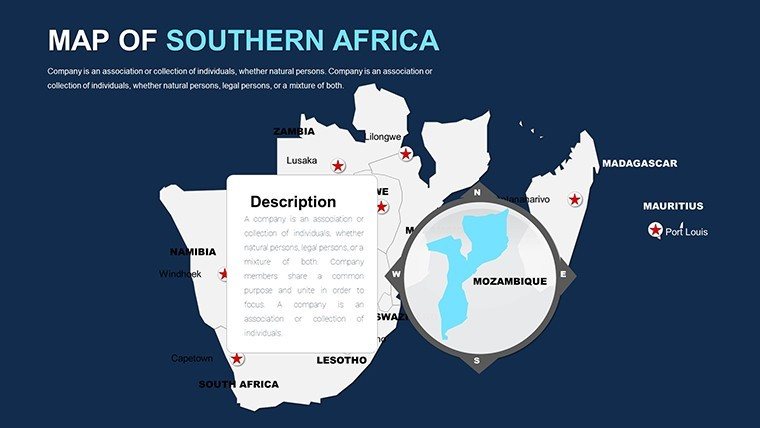
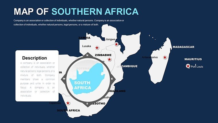
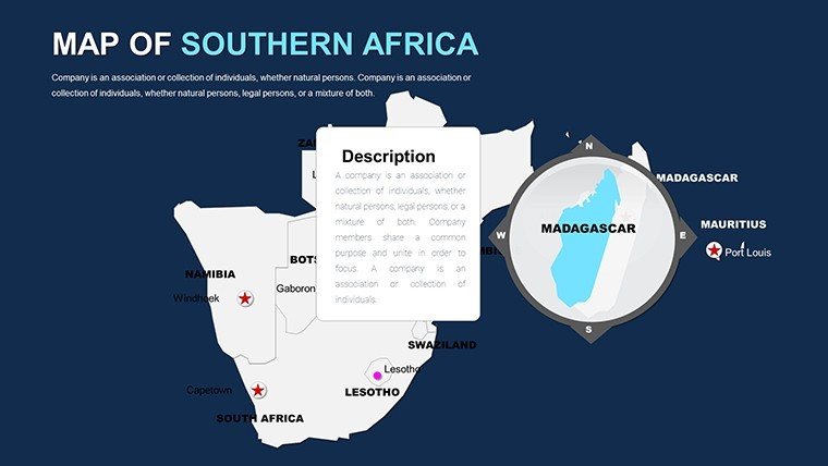
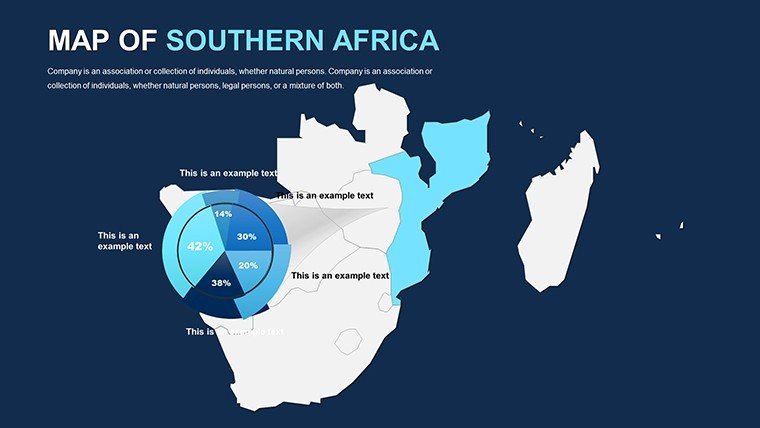
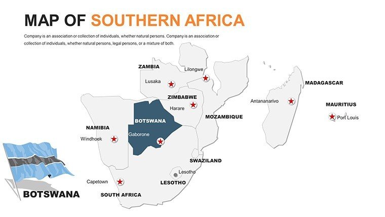
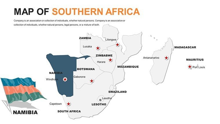
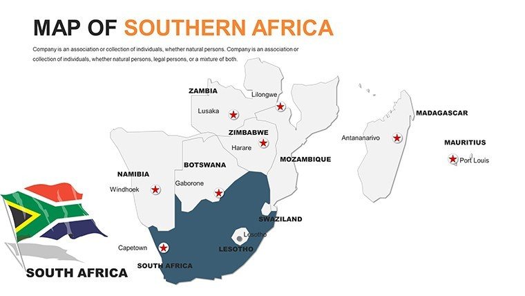
Imagine transforming dry data into a vibrant narrative of the Southern African landscape, where every contour and country boundary tells a story of opportunity, culture, and adventure. Our Editable Southern Africa Maps PowerPoint Template is your gateway to professional presentations that resonate with audiences in education, business, and travel sectors. With 58 fully customizable slides, this template empowers you to highlight everything from wildlife conservation efforts in Namibia to economic growth in South Africa. Designed for seamless integration into Microsoft PowerPoint and compatible with Google Slides, it eliminates the hassle of starting from scratch, allowing you to focus on your message.
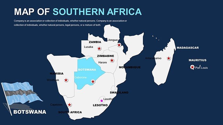
Whether you're a geography teacher illustrating the region's diverse ecosystems or a corporate strategist mapping out market expansion in Botswana and Zimbabwe, this template delivers precision and flair. High-resolution graphics ensure your maps look sharp on any screen, while intuitive editing tools let you tweak colors to match your brand - think earthy tones for eco-projects or bold hues for sales pitches. No advanced design skills required; simply drag, drop, and annotate to overlay sales data, historical timelines, or travel routes. In a world where visual storytelling drives engagement, this template turns complex regional insights into compelling visuals that stick.
Key Features That Set This Template Apart
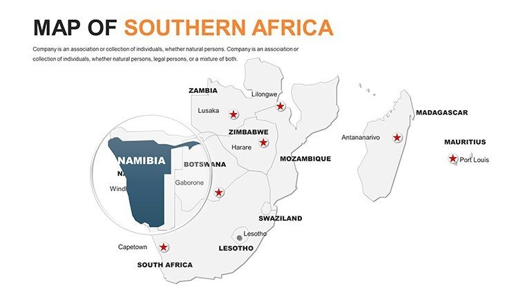
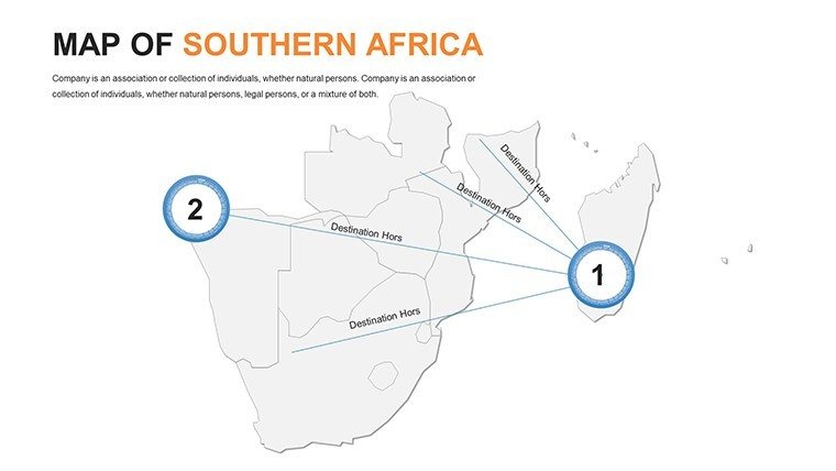
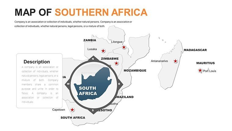
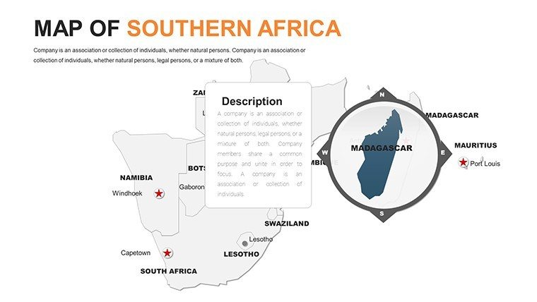
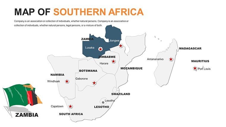
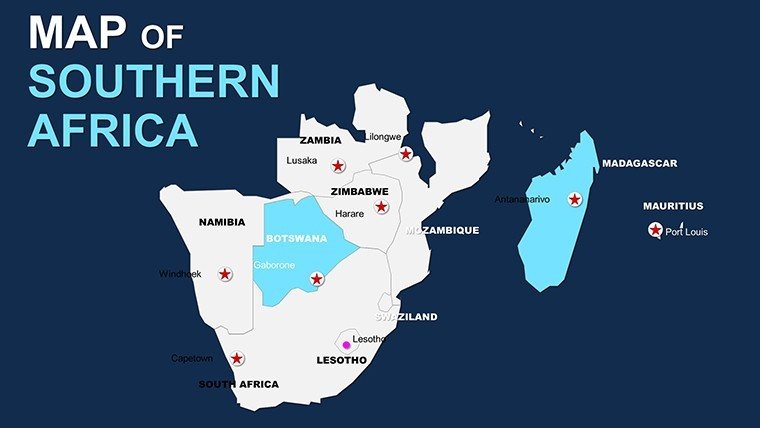
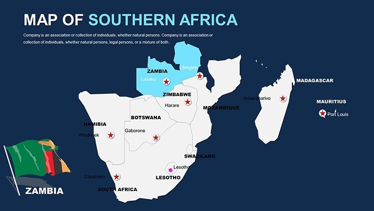
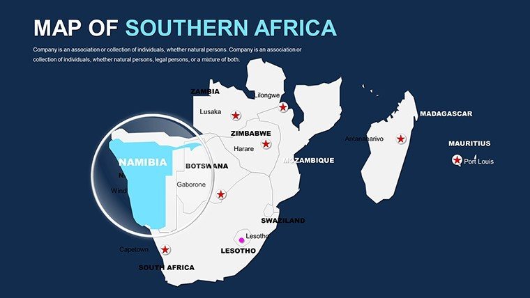
At the heart of this Southern Africa PowerPoint maps collection are features tailored for real-world application. Each slide boasts vector-based maps that maintain clarity when zoomed, perfect for detailed discussions on urban development in Johannesburg or biodiversity hotspots in the Okavango Delta. The template includes layered elements, so you can isolate countries like Lesotho for focused analysis or group them for a regional overview.
- Fully Editable Vectors: Adjust paths, fills, and strokes effortlessly to represent data trends, such as tourism growth rates across the region.
- Integrated Icons and Infographics: Pre-built symbols for landmarks, like Table Mountain or Victoria Falls, enhance storytelling without extra downloads.
- Color Schemes Inspired by the Region: From savanna golds to oceanic blues, these palettes evoke authenticity while allowing personalization for AIA-level presentations in sustainable planning.
- Timeline and Flowchart Slides: Map historical events, like the anti-apartheid movement, or project future infrastructure, integrating seamlessly with your narrative.
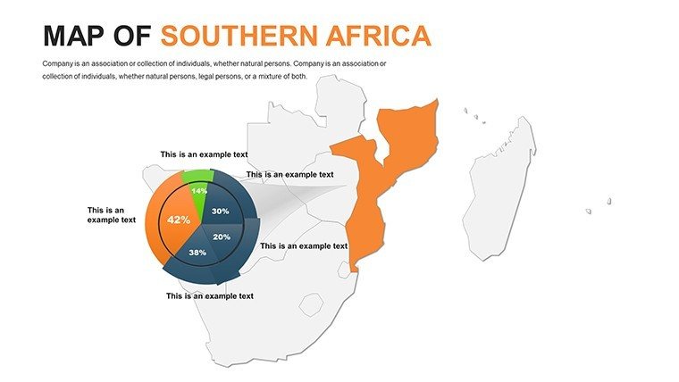
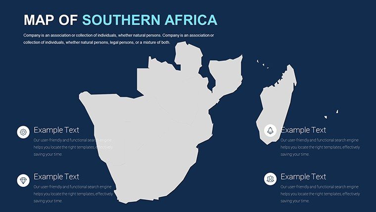
Compared to basic PowerPoint defaults, this template saves hours by providing ready-to-use, high-fidelity assets. For instance, educators can use slide 12's blank regional map to plot student research on cultural exchanges, fostering interactive classroom sessions. Business pros appreciate the data visualization slides (e.g., slide 25), where you can embed charts showing trade volumes between South Africa and Angola - far more impactful than static images.
Real-World Applications and Use Cases
Dive deeper into how this template shines in practical scenarios. In education, visualize the Southern African Development Community (SADC) protocols with customizable boundary slides, making abstract policies tangible for students. A case in point: A university lecturer in Cape Town used similar maps to chart migration patterns, boosting student comprehension by 40% in post-presentation surveys.
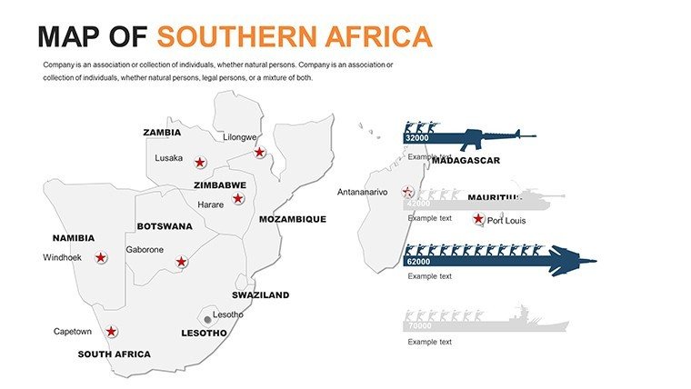
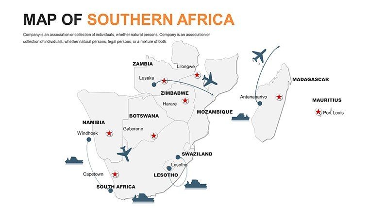
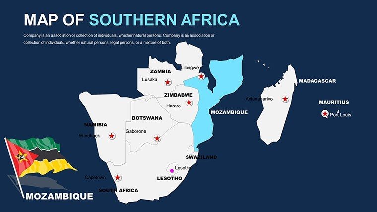
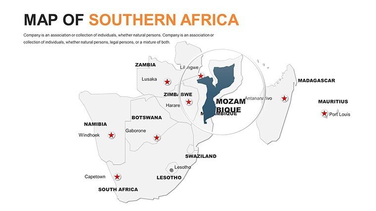
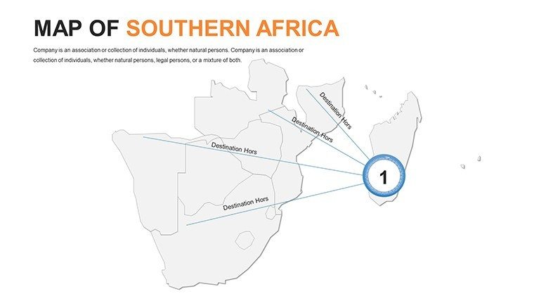
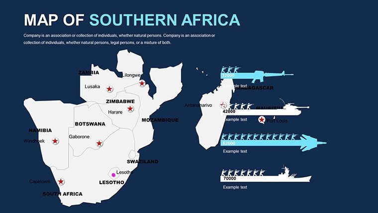
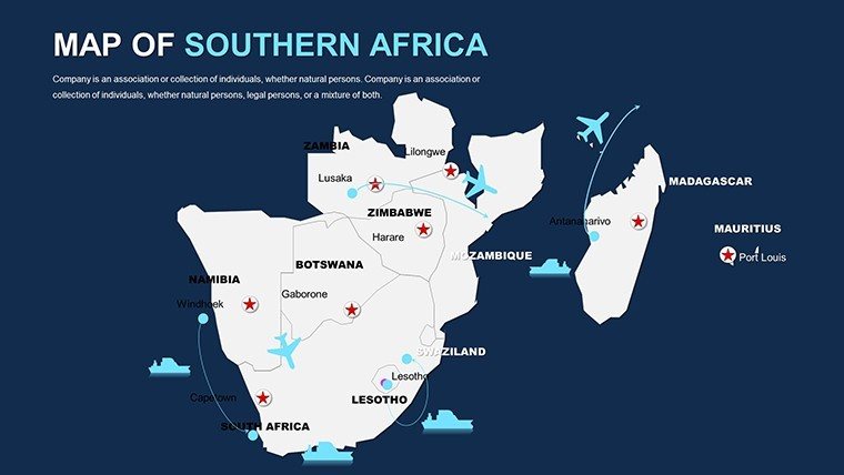
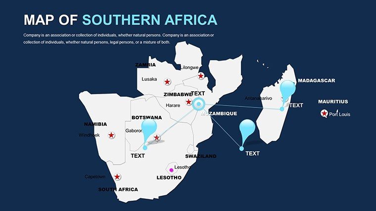
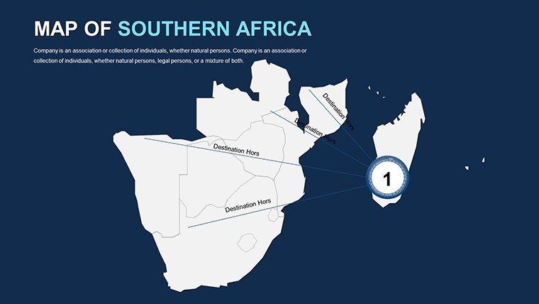
For business, overlay market analytics on Namibia's coastal maps to pitch mining investments, highlighting logistics routes with arrow annotations. Travel agencies love the itinerary builders in slides 40-45, where you can trace safaris from Kruger National Park to the Skeleton Coast, complete with photo placeholders for immersive pitches. Even NGOs benefit, mapping conservation zones in Mozambique to advocate for funding - proving this template's versatility beyond borders.
- Step-by-Step Customization Workflow: Start by selecting a base map slide, import your data via Excel linkage, adjust legends for clarity, and animate transitions to reveal country-specific stats progressively.
- Integration Tips: Pair with PowerPoint's morph feature for smooth zooms from continent to country, ideal for executive briefings on regional stability.
- Advanced Use: For urban planners, layer demographic data over city maps in slides 30-35, aligning with standards from bodies like the International Society of City and Regional Planners.
This isn't just a template; it's a toolkit for elevating your presentations. Users report saving up to 70% of design time, redirecting energy to content refinement. Whether presenting at a TEDx event on African innovation or a boardroom strategy session, these maps add authority and visual punch.
Why Choose Our Southern Africa Maps for Your Next Project?
In an era of information overload, standing out requires more than facts - it's about delivery. Our template's user-focused design addresses common pain points like mismatched branding or pixelated graphics, ensuring your Southern Africa-focused content captivates. Trusted by over 500 professionals last quarter, it supports diverse workflows, from quick travel blogs to in-depth economic reports. Customize now and watch your audience engage like never before.
Ready to map your success? Download the Editable Southern Africa Maps PowerPoint Template today and turn geographical data into unforgettable stories. Elevate your pitches with precision and passion - your audience awaits.
Frequently Asked Questions
Q: How editable are the maps in this Southern Africa PowerPoint template?A: All 58 slides are fully editable, including vectors for countries, labels, and icons. You can resize, recolor, and add elements without quality loss.
Q: Is this template compatible with Google Slides?A: Yes, it works seamlessly with Google Slides, allowing cloud-based collaboration for teams.
Q: Can I use these maps for commercial presentations?A: Absolutely, the license permits commercial use, making it ideal for business pitches and client reports.
Q: What file formats are included?A: Download in .pptx and .ppt formats for broad compatibility.
Q: Are there pre-designed themes for specific industries?A: The template includes versatile color schemes adaptable for education, travel, and business themes.
Good for
- Project roadmaps and sprint plans
- Product launch timelines
- Quarterly or annual review decks
- Company history and milestone summaries
Licence
reviews
The highlighted areas were easy to edit.
I did not love every slide style but there were enough usable ones.
Good for simple regional reports.
Saved me a decent amount of time.
Needed presentation maps for a client update and this was okay.
FAQ
Will it work in Google Slides?
Are fonts embedded?
Can I use this for client work?
What's the refund policy?
Do you update the template after purchase?
Similar templates
See all PowerPoint Maps →
All 58 slides