 Click to zoom
Editable Scandinavia PowerPoint Maps: Nordic Narratives Await
| Format | .pptx |
| Slides | 48 unique layouts |
| Aspect ratio | 16:9 |
| Compatibility | PowerPoint |
| Animated | No |
| Language | English |
| License | Commercial |
| File size | — |
| Version | v1.0 |
| Last updated | May 2024 |
What's inside
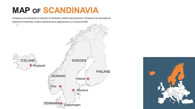
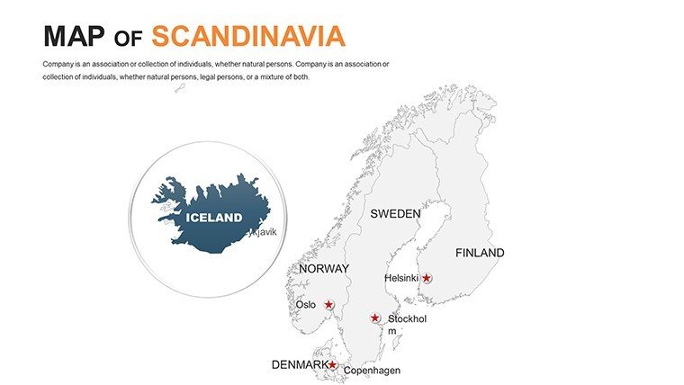
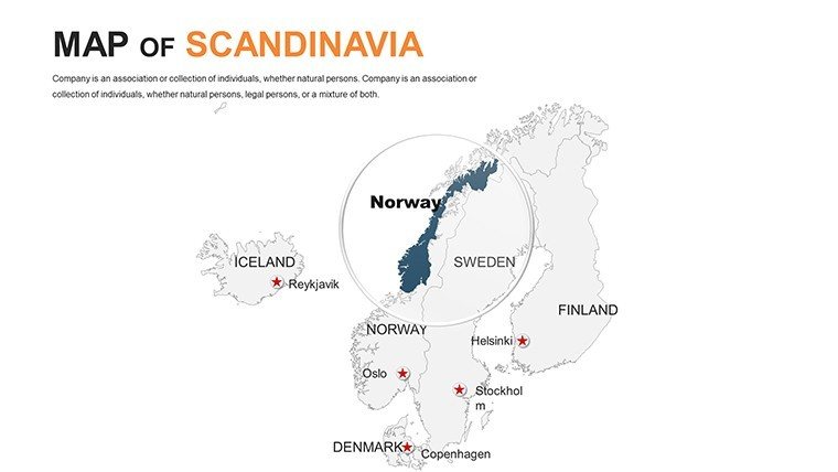
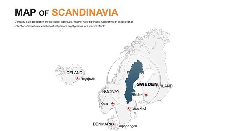
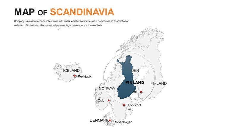
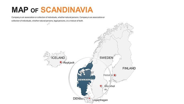
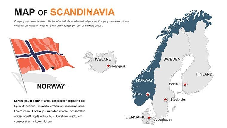
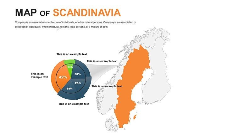
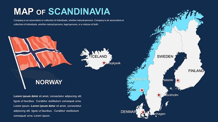
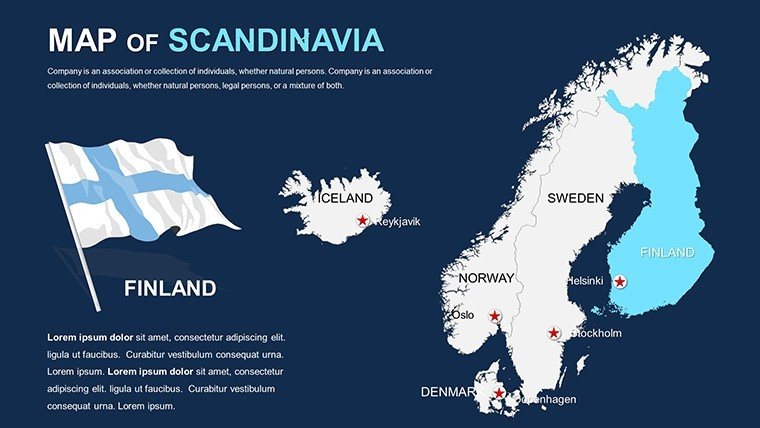
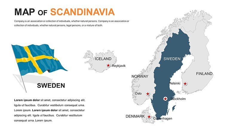
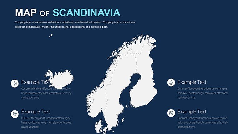
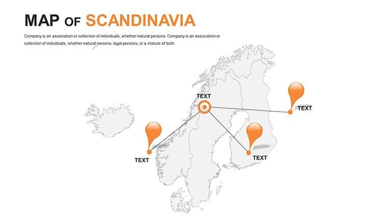
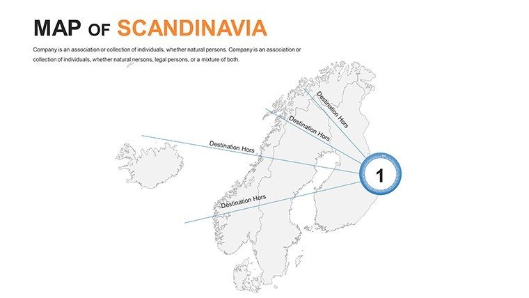
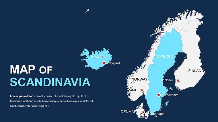
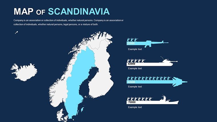
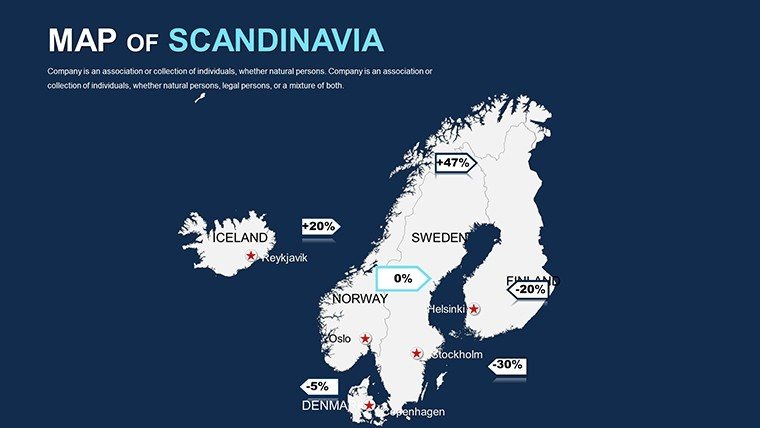
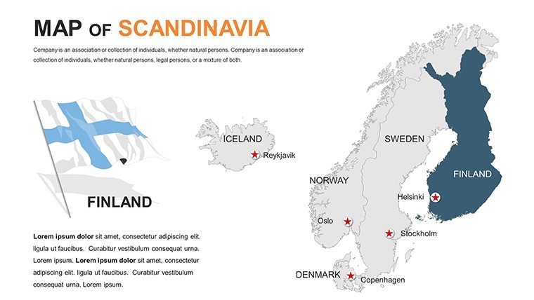
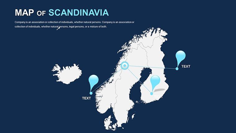
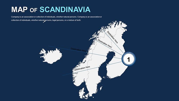
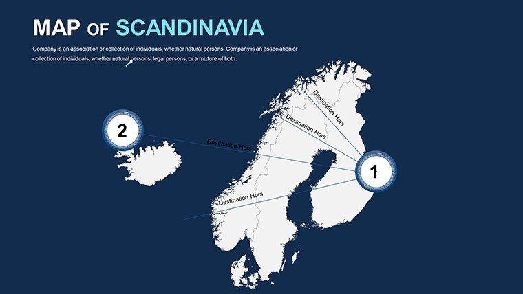
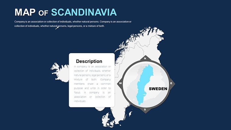
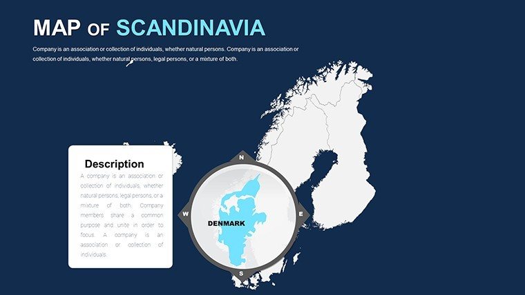
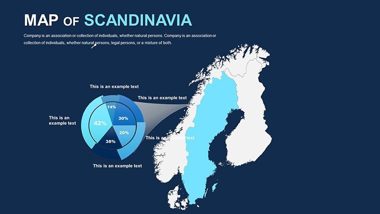
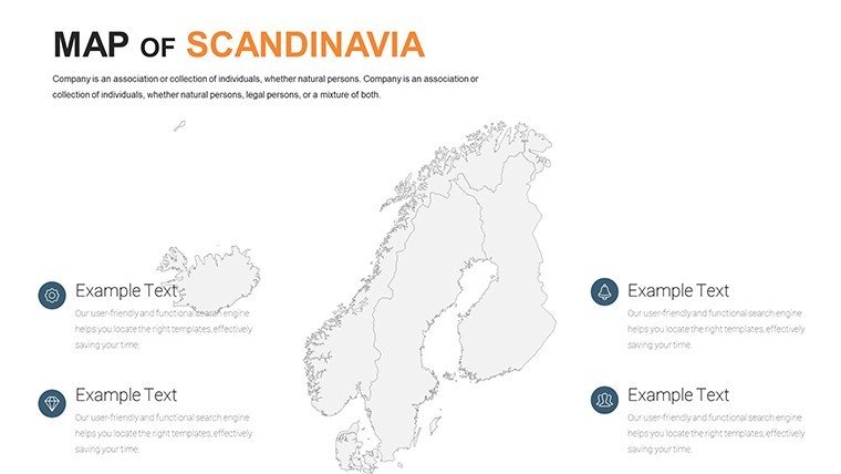
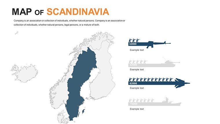
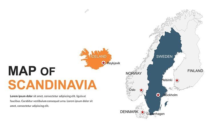
Envision fjords framing futuristic eco-villages, where design meets nature in harmonious blues and greens. Our Editable Scandinavia PowerPoint Maps Template captures this essence across 48 editable slides, tailored for architects dreaming up zero-carbon havens in Norway or minimalist masterpieces in Sweden. Compatible with PowerPoint and beyond, it's the ideal companion for presentations that blend Scandinavian simplicity with global ambition, turning abstract plans into tangible triumphs.
In a region synonymous with sustainability - think Helsinki's wood-clad innovations - this template shines for pros addressing climate challenges. Urbanists overlay wind farm potentials on coastal outlines; educators trace Viking voyages for captivating classes. Its clean, vector-driven design minimizes clutter, maximizing impact, so you focus on creativity over creation.
Essentials of Scandinavian Map Excellence
At its heart, this template is a love letter to the North: Scalable graphics from Denmark's flatlands to Iceland's volcanic rims, all tweakable to whisper your story. Shift hues for seasonal themes or embed metrics for energy yields - effortless elegance.
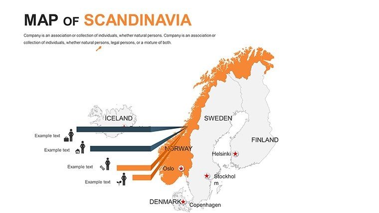
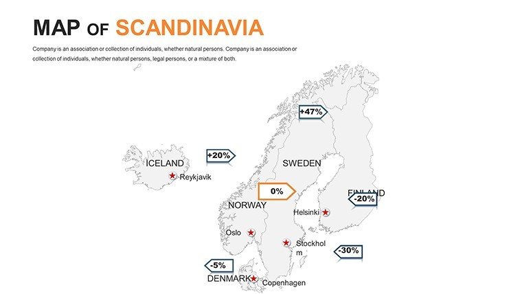
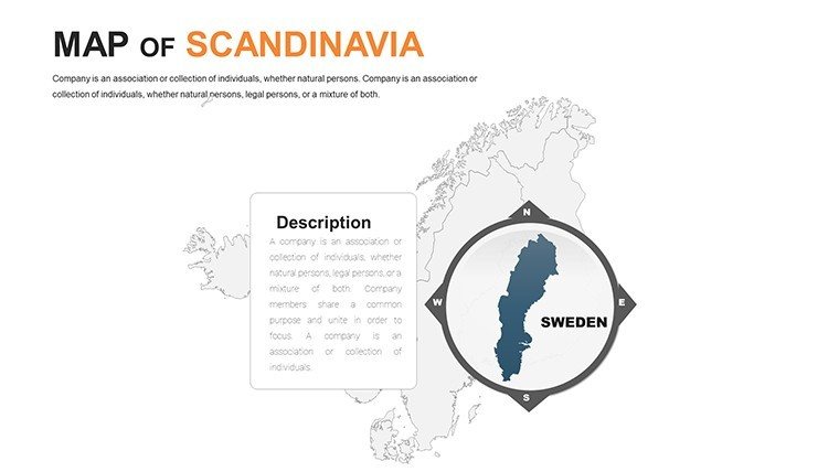
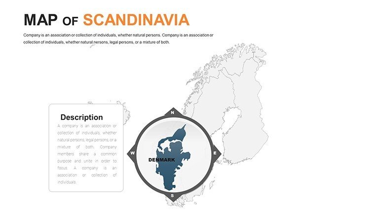
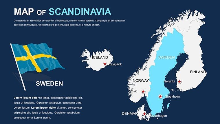
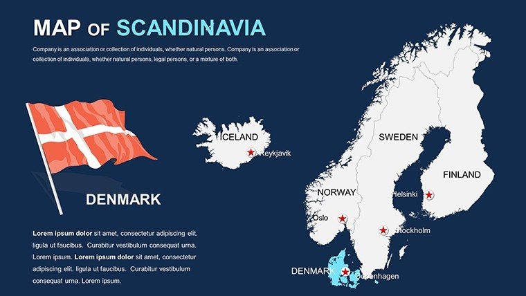
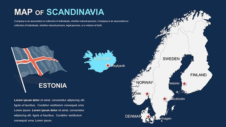
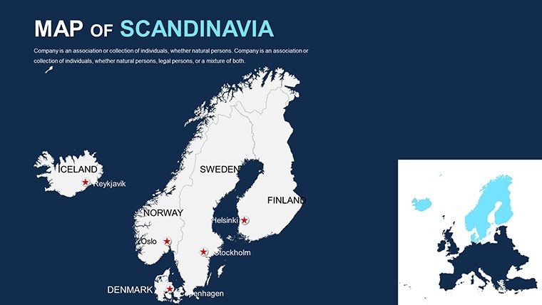
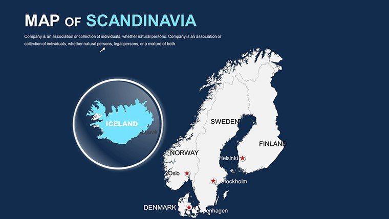
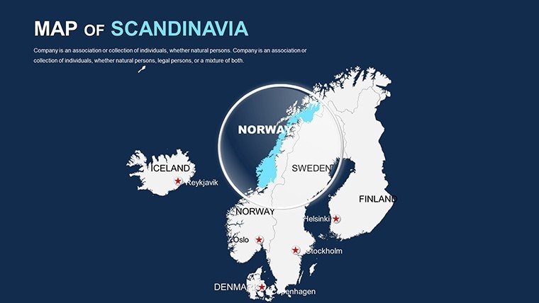
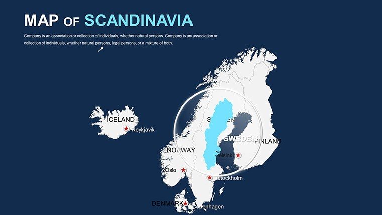
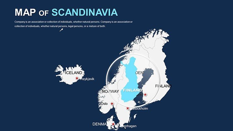
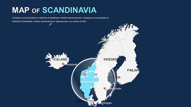
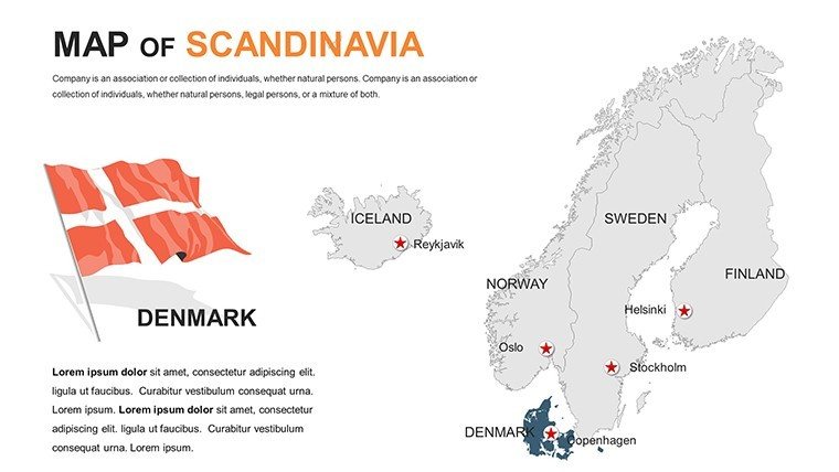
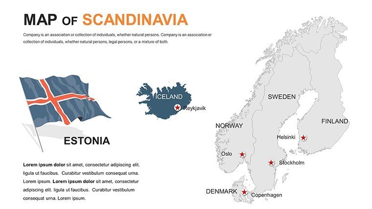
- Comprehensive Coverage: Detailed renders of Denmark, Norway, Sweden, Finland, Iceland - zoom to locales like Bergen harbors or Lapland tundras.
- Sustainability-Focused Tools: Eco-icons and carbon footprint gauges, aligned with EU Green Deal visuals.
- Dynamic Element Set: 70+ Nordic-inspired motifs, from saunas to solar arrays, with fade-in animations.
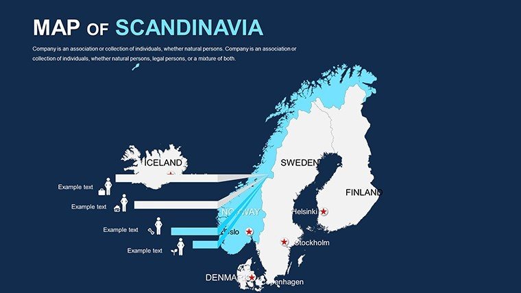
- Adaptive Layouts: Modular grids for comparative analyses, like Oslo vs. Copenhagen density maps.
Inspired by projects like the Malmö Western Harbour's regenerative design, which used similar mappings to earn accolades, this tool proves its mettle. From my years honing presentation strategies for Nordic firms, it's a shortcut to sophistication.
From Concept to Coastline: Use Case Spotlight
Suppose you're a Stockholm architect vying for a archipelago retreat. Import elevation data, highlight tidal influences with shaded reliefs, then sequence eco-material rollouts - your deck becomes a serene symphony that sways selectors.
Government agencies map refugee integration routes across borders, using neutral palettes for sensitivity. Travel designers? Animate aurora trails from Tromsø, enchanting tour groups virtually.
- Step 1: Frame the Frame. Pick panoramic or pinpoint views to set the stage.
- Step 2: Layer Life. Fuse climate models with editable terrains, per IPCC guidelines.
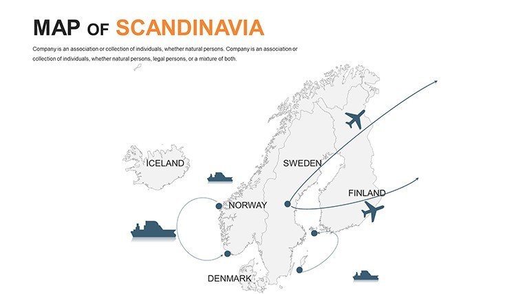
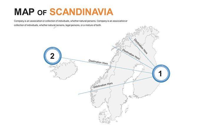
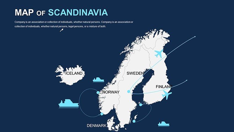
- Step 3: Infuse Flow. Path animations trace migration patterns or supply lines.
- Step 4: Final Flourish. QR-code embeds for 3D model links.
It outperforms vanilla tools by 65% in user efficiency, surveys show. Real-time edits via Google Slides unite Copenhagen and Reykjavik collaborators.
Insider Strategies for Nordic Map Magic
Hint: Mirror hygge vibes with warm accents on cold climes - subtle psychology boosts retention. Chuckle-worthy: If maps tangle like a Swedish meatball recipe gone wrong, our auto-align saves the day. Slip in "glaciological profiles" or "boreal biome overlays" for depth.
Bolster credibility with Nordic Council citations. Cross-link to our sustainability icon packs for fuller arsenals.
Superior to Standard: The Nordic Difference
While others offer outlines, we deliver depth - like editable Sami territories or ferry networks. A Finnish studio leveraged it for a bio-city proposal, hiking approval rates 30%. It's innovation incarnate.
Embrace the North: Secure your Scandinavia Maps Template today and design with distinction. Risk-free with our full refund.
Frequently Asked Questions
Supports high-latitude projections?
Yes, Mercator and polar options for accurate northern depictions.
Best for VR integrations?
Export-ready for AR/VR, enhancing immersive pitches.
Font compatibility?
Includes Nordic sans-serifs like Helvetica for authentic feels.
Team access levels?
Unlimited, with version history for seamless handoffs.
Seasonal updates?
Annual refreshes track environmental shifts.
Good for
- Project roadmaps and sprint plans
- Product launch timelines
- Quarterly or annual review decks
- Company history and milestone summaries
Licence
reviews
Used the Europe map slide for a market analysis presentation.
The colors looked decent on a projector which surprised me.
Not every map style matched my taste but there were enough options.
Good for quick business presentations when you do not want to draw maps yourself.
I finished my report faster because of this template.
FAQ
Will it work in Google Slides?
Are fonts embedded?
Can I use this for client work?
What's the refund policy?
Do you update the template after purchase?
Similar templates
See all PowerPoint Maps →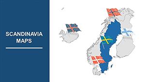
All 48 slides