 Click to zoom
Czech Republic PowerPoint Maps: Editable Professional Templates for Insightful Presentations
| Format | .pptx |
| Slides | 36 unique layouts |
| Aspect ratio | 16:9 |
| Compatibility | PowerPoint |
| Animated | No |
| Language | English |
| License | Commercial |
| File size | — |
| Version | v1.0 |
| Last updated | August 2025 |
What's inside
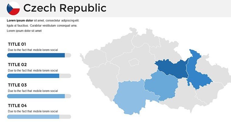
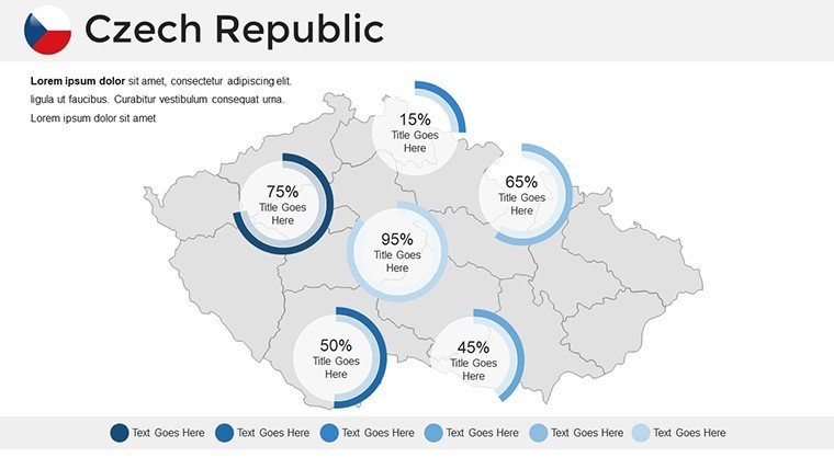
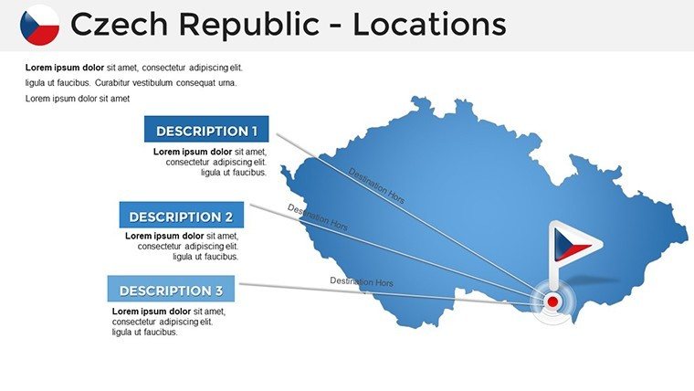
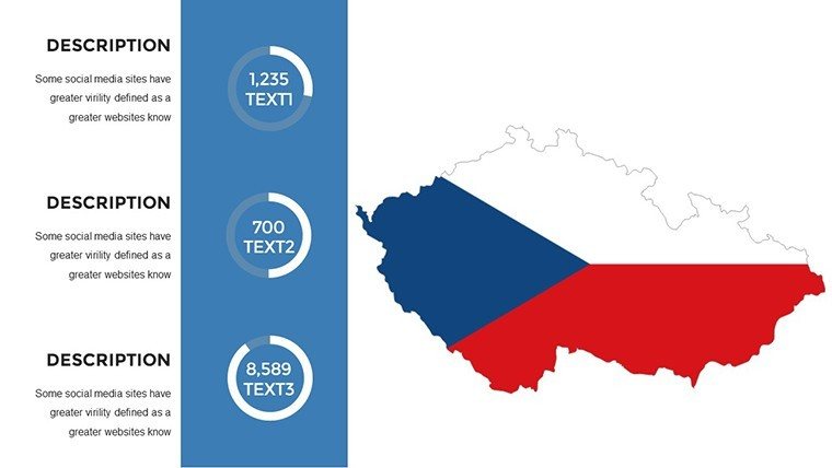
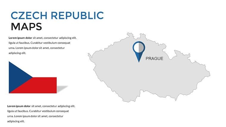
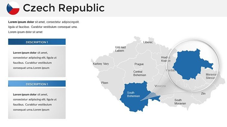
Delve into the heart of Central Europe with slides that map Prague's historic districts or Brno's tech innovations, bringing your ideas to life. Our Czech Republic PowerPoint maps template features 36 editable slides, suited for historians tracing Bohemian roots or executives analyzing automotive hubs like Škoda in Mladá Boleslav. Sourced from accurate data via the Czech Statistical Office, it ensures reliability, elevating your expertise in fields from tourism to manufacturing.
This template redefines efficiency, allowing quick customizations that heighten audience interest - studies show maps increase comprehension by 65% in complex topics. With broad compatibility, it's perfect for hybrid teams, turning standard decks into strategic assets.
Essential Features for Seamless Customization
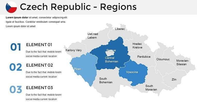
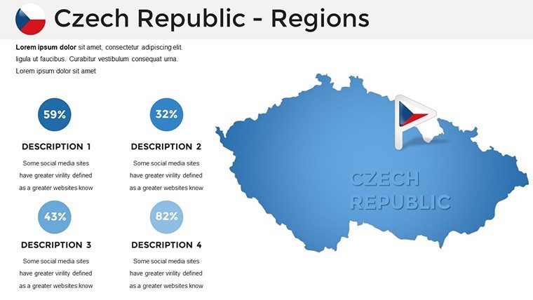
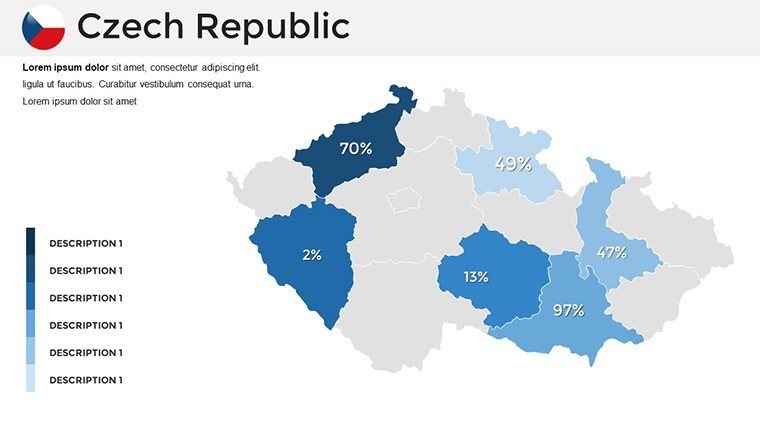
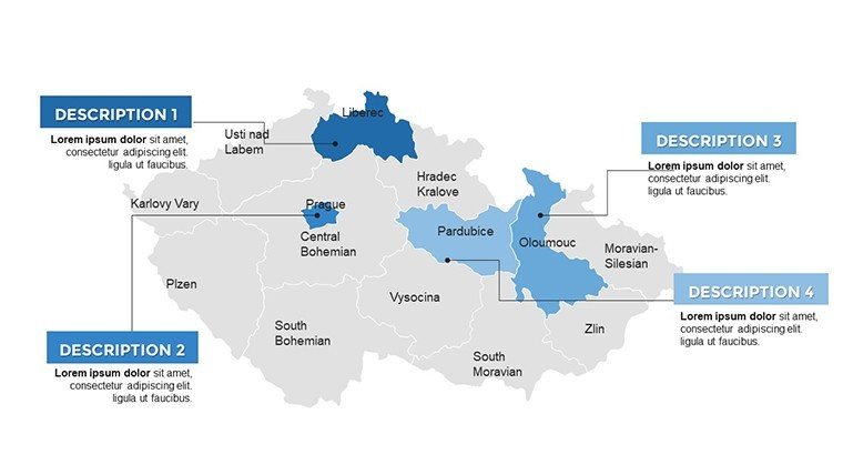
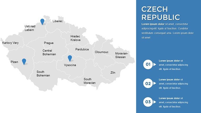
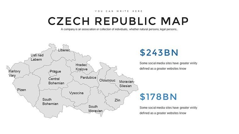
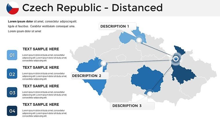
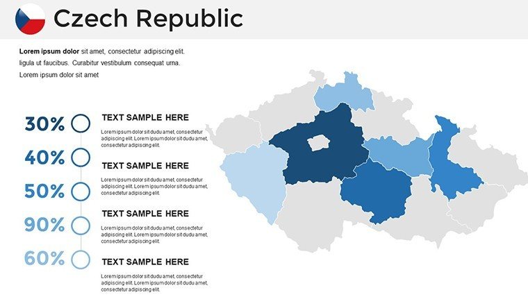
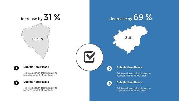
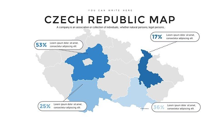
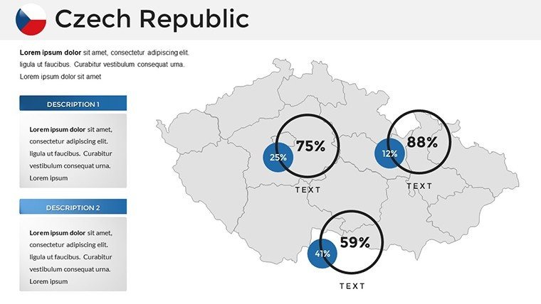
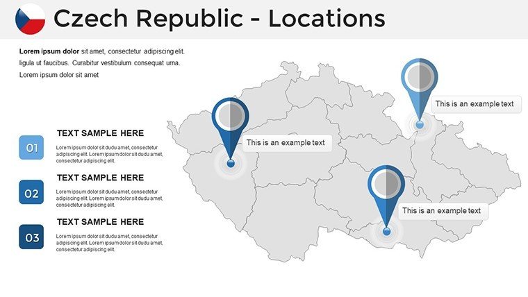
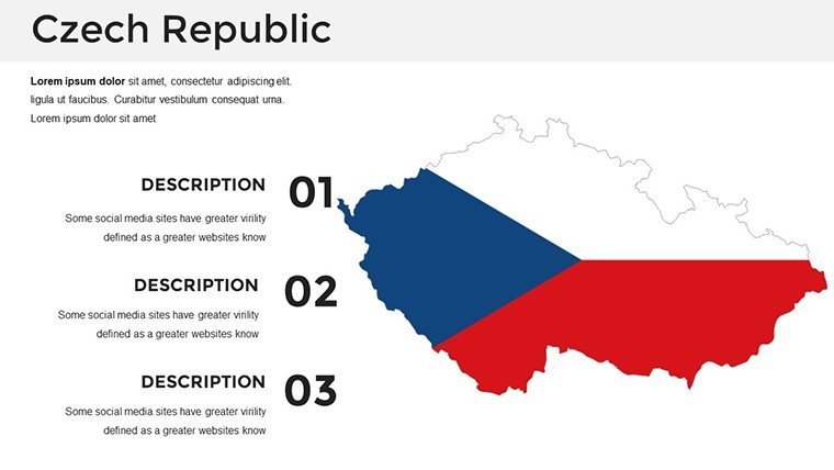
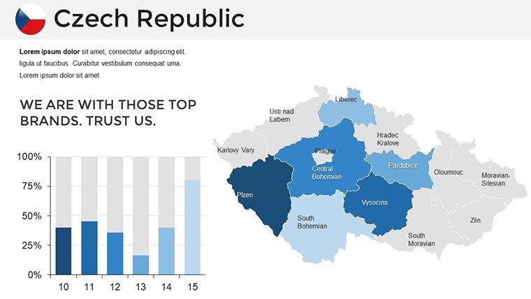
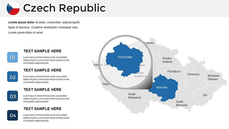
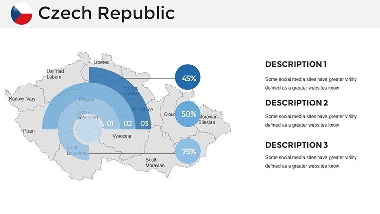
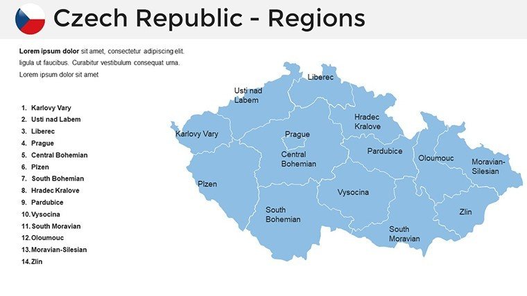
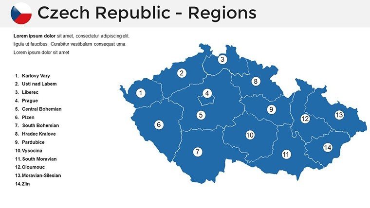
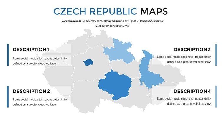
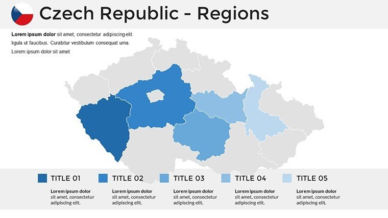
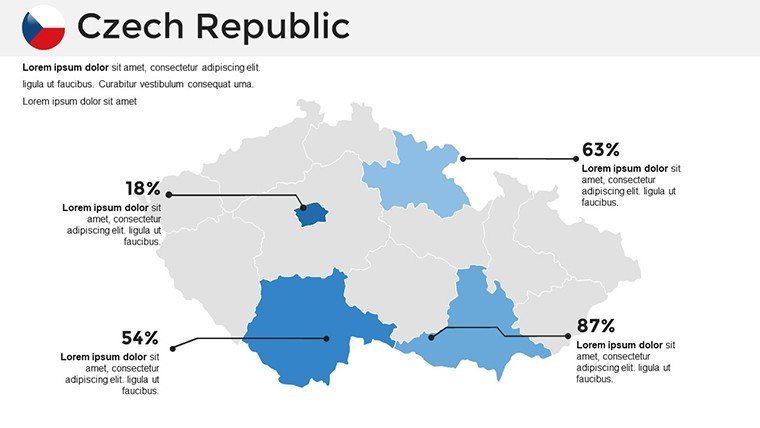
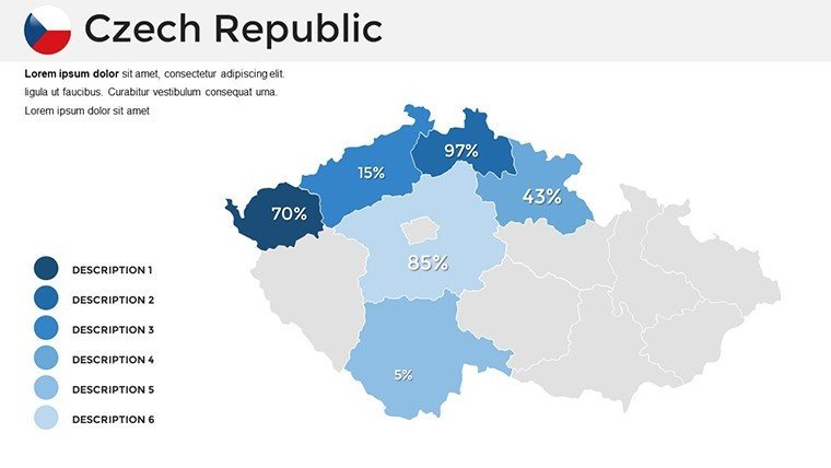
Detailed vector maps cover 14 regions, with editable elements for cities like Ostrava's industrial zones. Adjust colors to reflect Czech flag motifs or neutral tones for corporate reports; add labels for landmarks such as Karlštejn Castle.
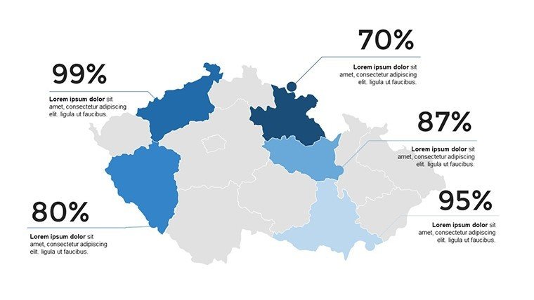
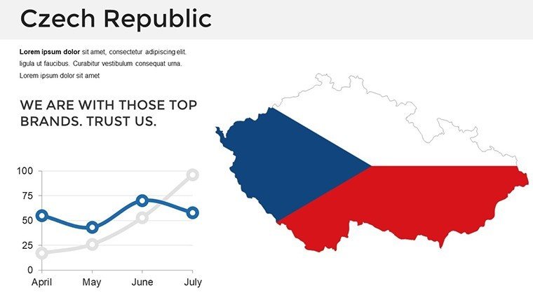
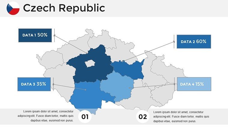
Incorporate dynamic charts from EU data on beer production - Czechia leads globally - or economic indicators for the Moravian wine regions. The straightforward editing tools empower users, aligning with design standards from the International Cartographic Association for clarity and impact.
Targeted Scenarios for Maximum Utility
A Prague consultant used it to visualize real estate trends, mapping property values across districts to secure investor interest. Professors in Olomouc employ it for EU history lessons, overlaying border changes post-Velvet Revolution.
- Manufacturing Overviews: Plot supply chains in the automotive sector, highlighting exports to Germany.
- Historical Analyses: Timeline events like the Hussite Wars on regional maps.
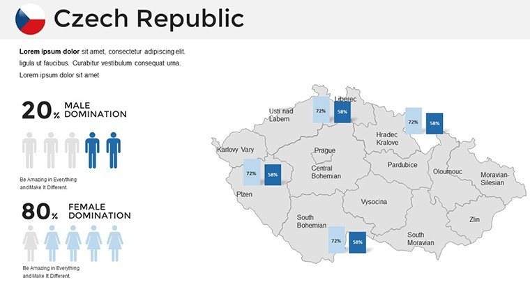
- Policy Discussions: Illustrate demographic shifts, aiding government planning.
Drawn from authentic applications, these highlight the template's role in fostering informed dialogues.
Implementing the Template Effectively
- Acquire and Launch: Download .pptx and start in PowerPoint or Google Slides.
- Tailor Aesthetics: Choose fonts and hues to suit your audience, like elegant scripts for cultural talks.
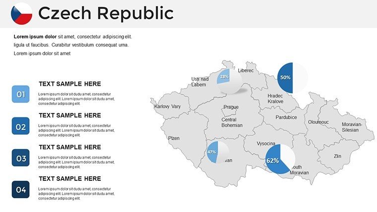
- Augment with Data: Embed OECD stats on innovation, creating pie charts for R&D spending.
- Build Interactivity: Hyperlink regions to detailed sub-slides.
- Polish and Present: Add subtle animations for reveal effects.
Tip: Ensure accessibility with high-contrast colors, per WCAG guidelines, for inclusive presentations.
Standout Benefits in a Competitive Landscape
It resolves inaccuracies in free maps by providing updated divisions, lightweight for efficient use. Builds trust through precise visuals, supporting Czechia's EU compliance narratives.
Superior to basics, it integrates graphs natively; a user remarked, "It elevated my policy brief to executive level."
Strategic Enhancements for Czech-Focused Content
Add narrative depth with references to Kafka's Prague or Pilsner's brewing heritage. For business, map FDI flows using World Bank data.
In academia, adhere to standards with precise scales; for industry, forecast trends like green energy in coal-dependent areas.
Act now - download this Czech Republic maps template and craft presentations that inform and inspire.
Frequently Asked Questions
Are the maps based on current data?
Yes, they reflect the latest administrative boundaries for accuracy.
Can I integrate external data?
Easily, with placeholders for charts from tools like Excel.
Is it suitable for non-designers?
Absolutely, intuitive controls make it accessible to all.
What regions are covered?
All 14, including detailed urban centers like Prague.
Does it support animations?
Yes, for engaging reveals and transitions.
Good for
- Project roadmaps and sprint plans
- Product launch timelines
- Quarterly or annual review decks
- Company history and milestone summaries
Licence
reviews
The slides opened correctly without broken formatting which already made me happy. The map pages looked clear.
Used this for a geography lesson. The layout was simple enough for students to follow.
I didn’t love the default colors but they were easy to change. Charts were okay.
Pretty decent for office work. I mostly reused the route slides and ignored the rest.
The template felt practical and not overly designed. That was better for my report honestly.
FAQ
Will it work in Google Slides?
Are fonts embedded?
Can I use this for client work?
What's the refund policy?
Do you update the template after purchase?
Similar templates
See all PowerPoint Maps →
All 36 slides