 Click to zoom
Croatia PowerPoint Map Template - Fully Editable & Print Ready
| Format | .pptx |
| Slides | 36 unique layouts |
| Aspect ratio | 16:9 |
| Compatibility | PowerPoint |
| Animated | No |
| Language | English |
| License | Commercial |
| File size | — |
| Version | v1.0 |
| Last updated | February 2026 |
What's inside
Professional Croatia Geographic Visualization for Business and Tourism
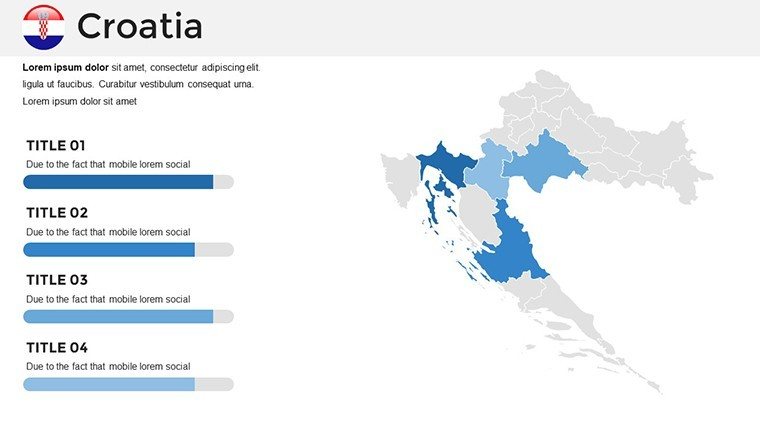
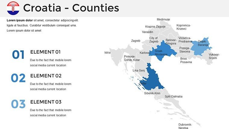
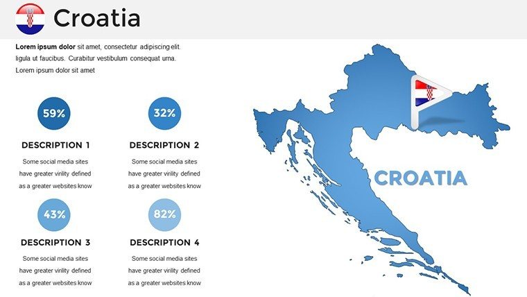
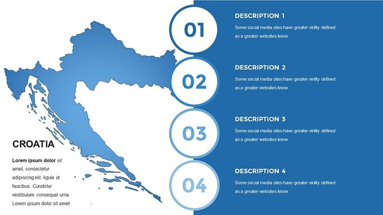
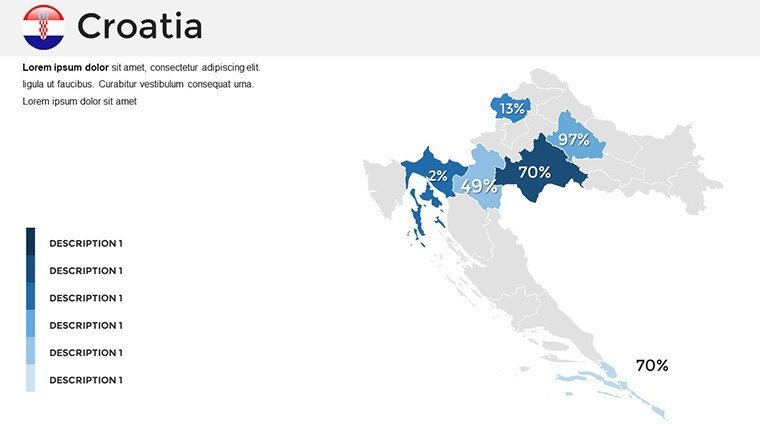
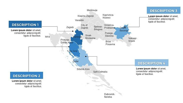
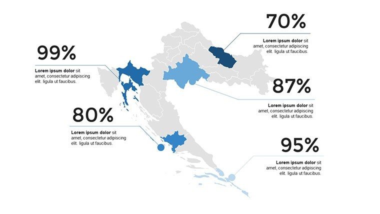
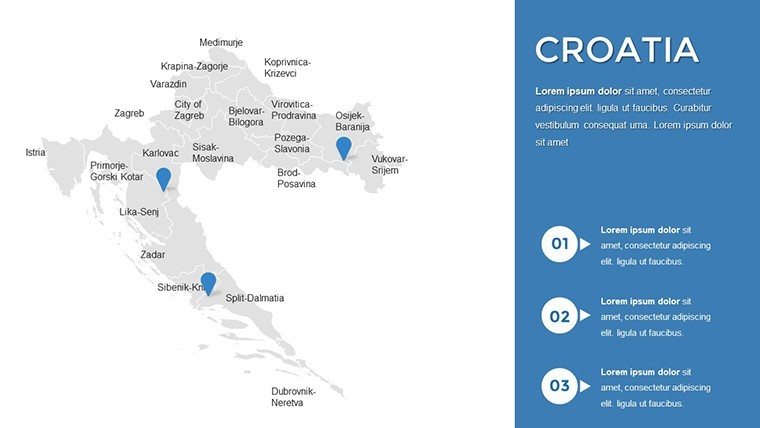
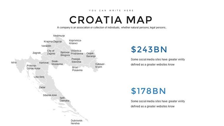
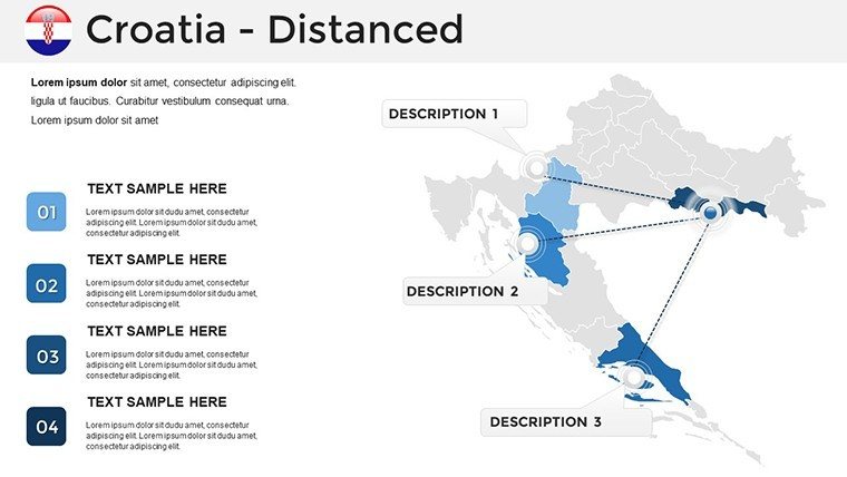
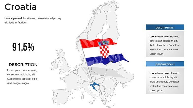
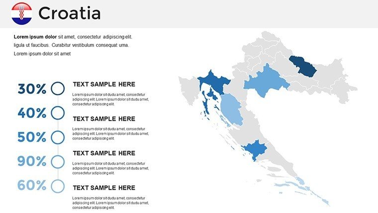
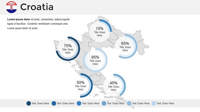
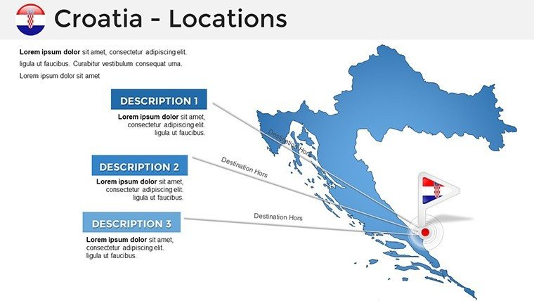
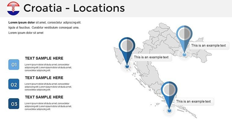
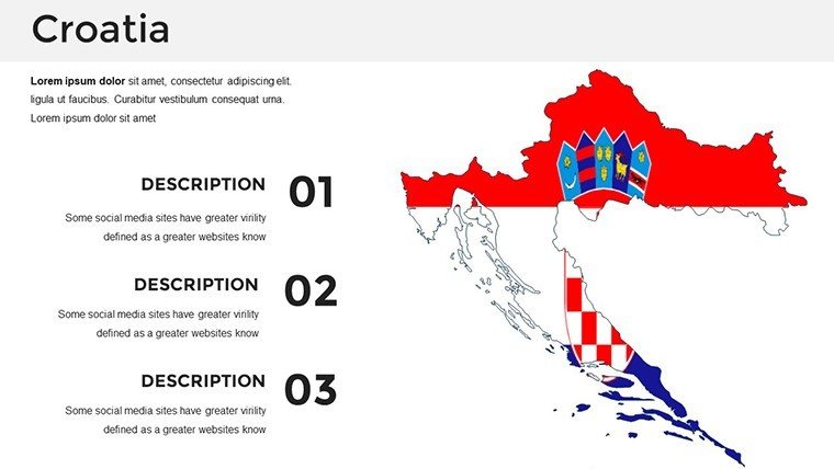
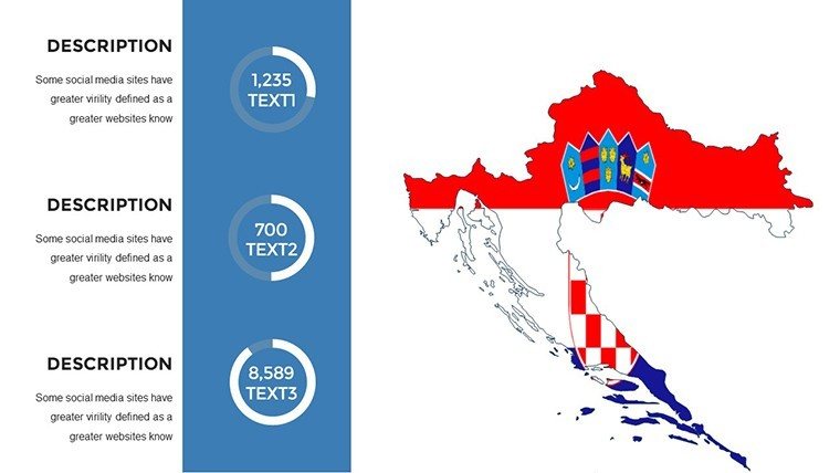
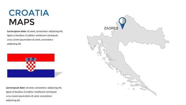
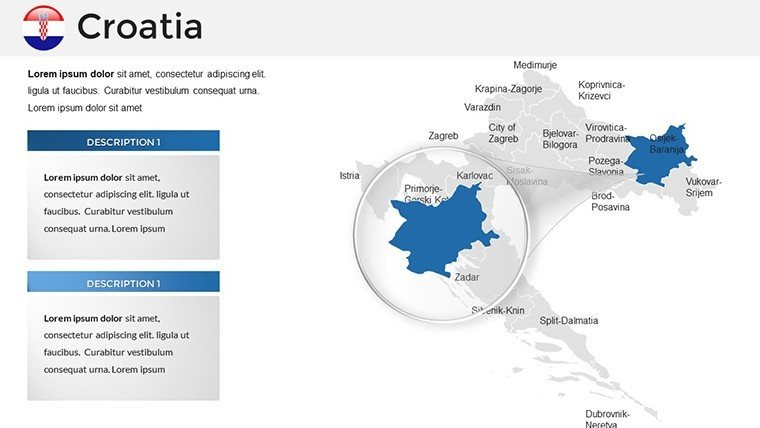
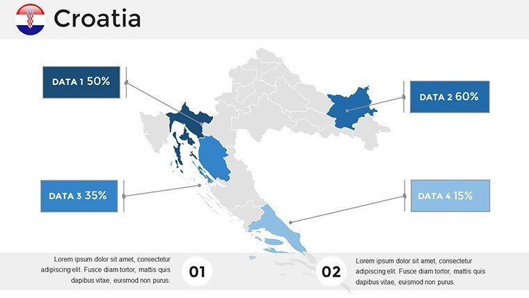
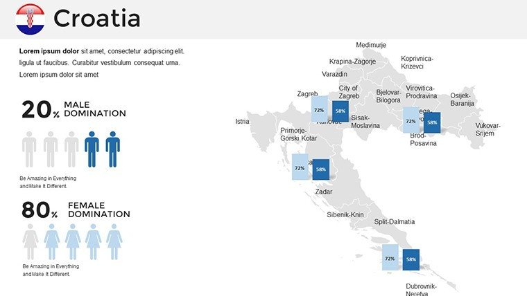
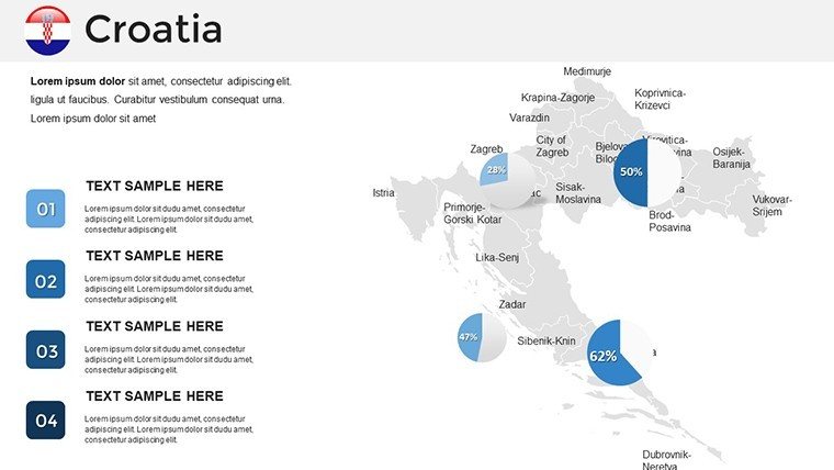
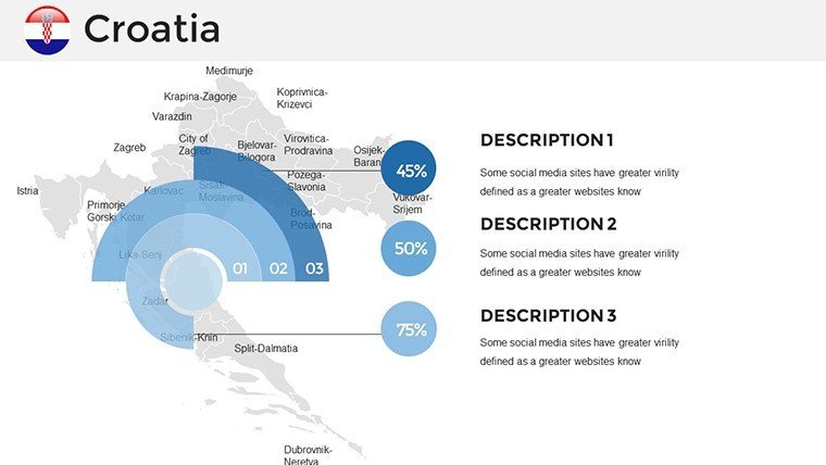
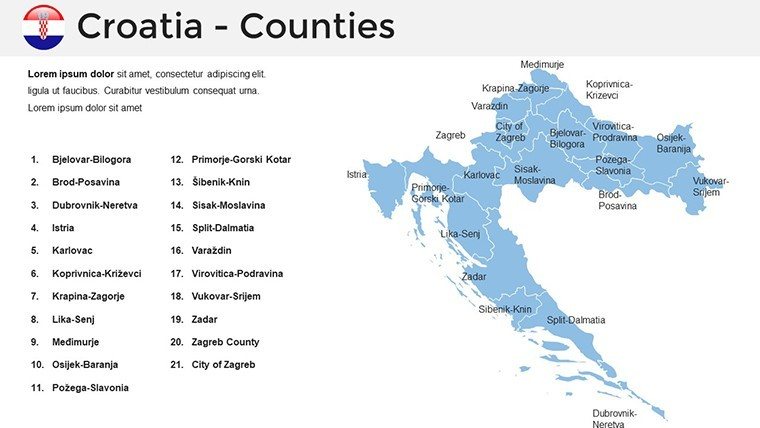
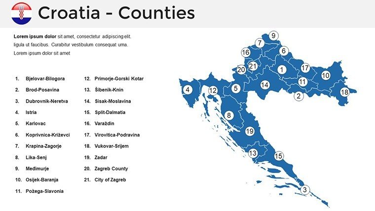
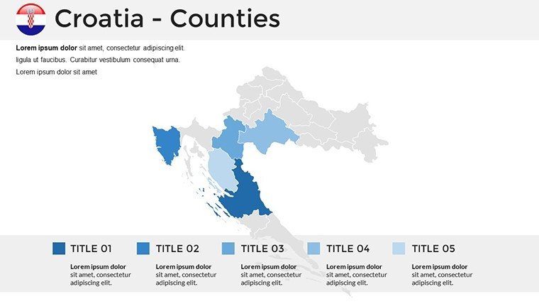
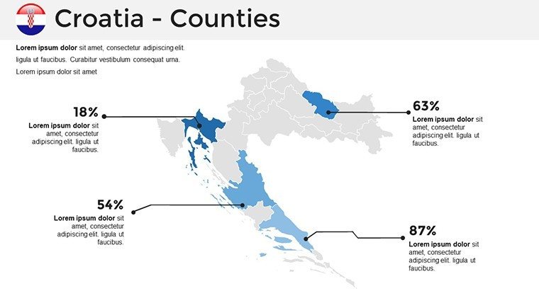
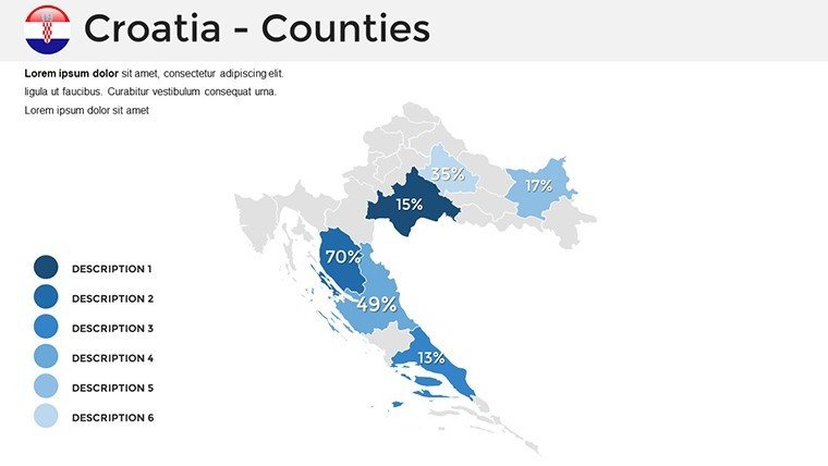
This premium Croatia PowerPoint map template provides 36 high-resolution slides designed for executive-level communication. Whether you are a tourism operator outlining Adriatic cruise routes or a logistics manager mapping distribution hubs across the 21 counties, these vector-based maps ensure your data remains crisp on any screen. Use this template to visualize regional market share, infrastructure developments like the Pelješac Bridge, or UNESCO heritage site locations for educational seminars.
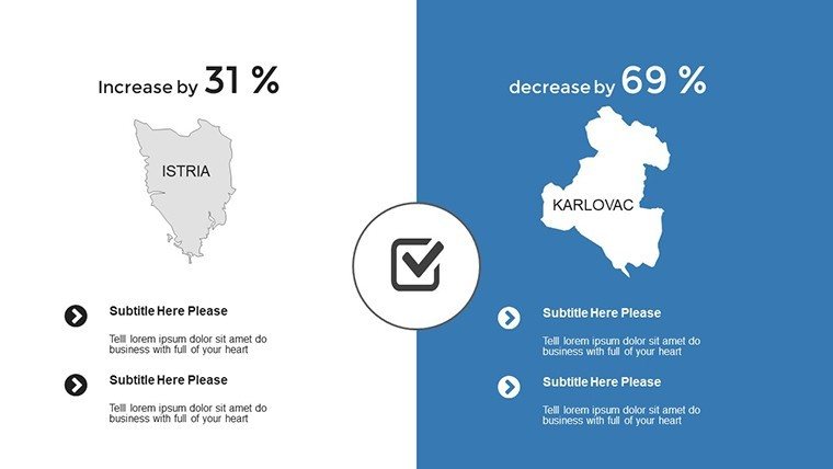
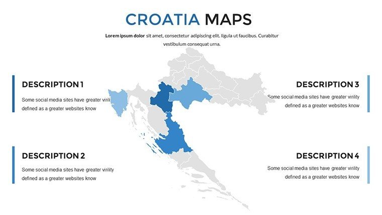
- Strategic Planning: Highlight specific regions like Istria or Dalmatia to focus on localized investment opportunities.
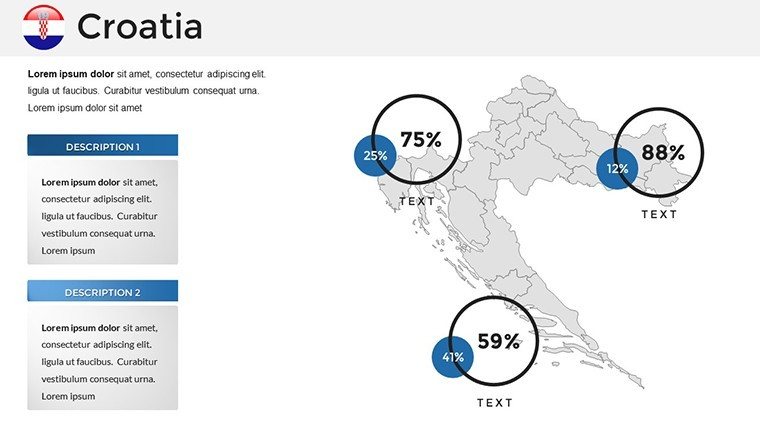
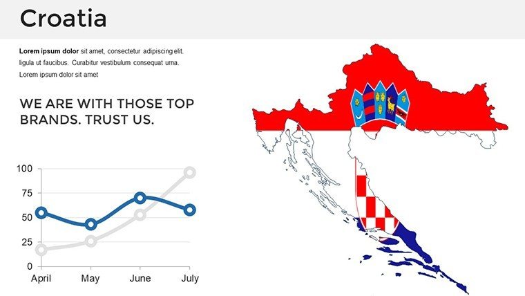
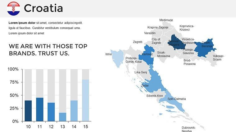
- Executive Reporting: Integrate bar charts and pie graphs directly into the map layouts for data-driven storytelling.
- Operational Overviews: Map out transport networks and supply chain routes across the Croatian territory.
Each slide is fully compatible with PowerPoint and Google Slides, allowing for seamless collaboration across corporate teams. Replace generic visuals with precise, scalable geography that builds authority with stakeholders.
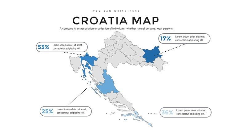
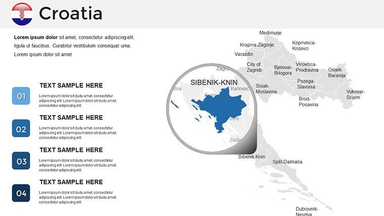
Can I edit individual county boundaries in this Croatia map?Yes, all 21 counties are vector-based shapes, allowing you to click, resize, and change colors for each region independently.
Is this template suitable for high-resolution printing?Absolutely. The maps use high-definition vector graphics that maintain perfect clarity when printed on large-format posters or corporate brochures.
Does the template work with Google Slides?Yes, the .pptx file is fully compatible with Google Slides, ensuring you can collaborate with your team in the cloud without losing formatting.
Good for
- Project roadmaps and sprint plans
- Product launch timelines
- Quarterly or annual review decks
- Company history and milestone summaries
Licence
reviews
The map graphics were pretty easy to customize for my school project. Didn’t have to fight with formatting.
I liked the layout more than expected. The chart pages were actually useful instead of decorative.
This template is fine if you just need something fast. A couple slides felt too busy though.
I used it for tracking sales regions. The labels and arrows saved me from drawing everything manually.
Nothing special but it helped me finish a presentation before the deadline.
FAQ
Will it work in Google Slides?
Are fonts embedded?
Can I use this for client work?
What's the refund policy?
Do you update the template after purchase?
Similar templates
See all PowerPoint Maps →
All 36 slides