 Click to zoom
Brazil Maps Keynote Template: Ignite South American Stories
| Format | .pptx |
| Slides | 46 unique layouts |
| Aspect ratio | 16:9 |
| Compatibility | PowerPoint |
| Animated | No |
| Language | English |
| License | Commercial |
| File size | — |
| Version | v1.0 |
| Last updated | May 2022 |
What's inside
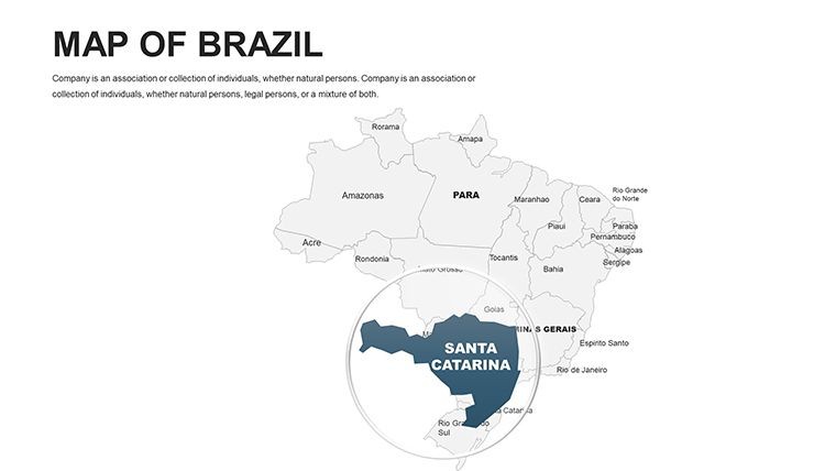
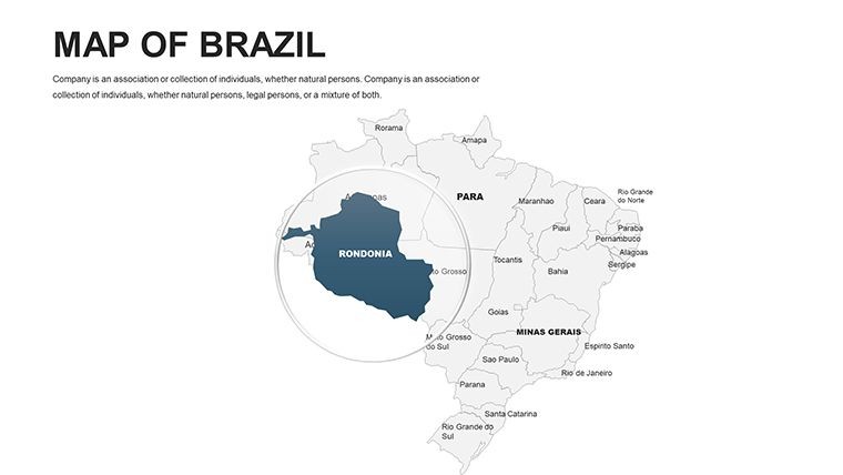
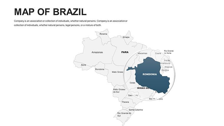
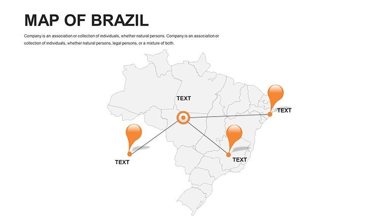
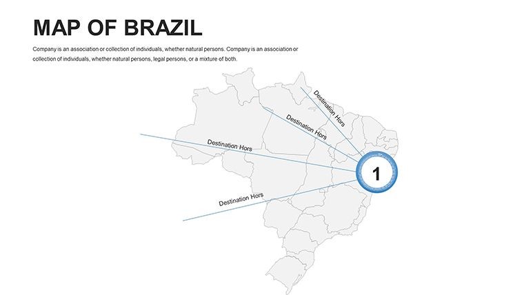
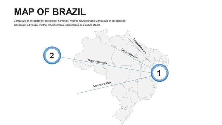
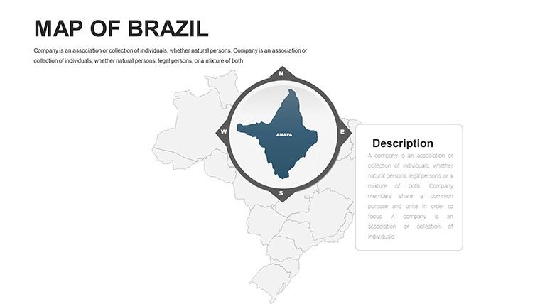
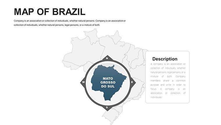
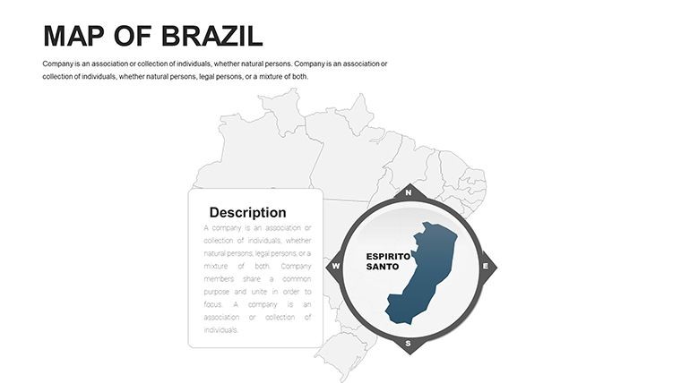
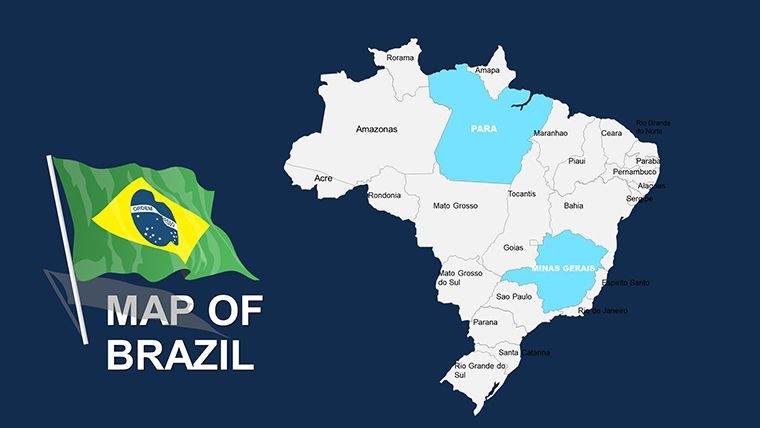
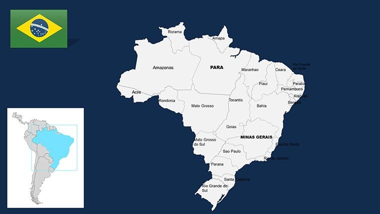
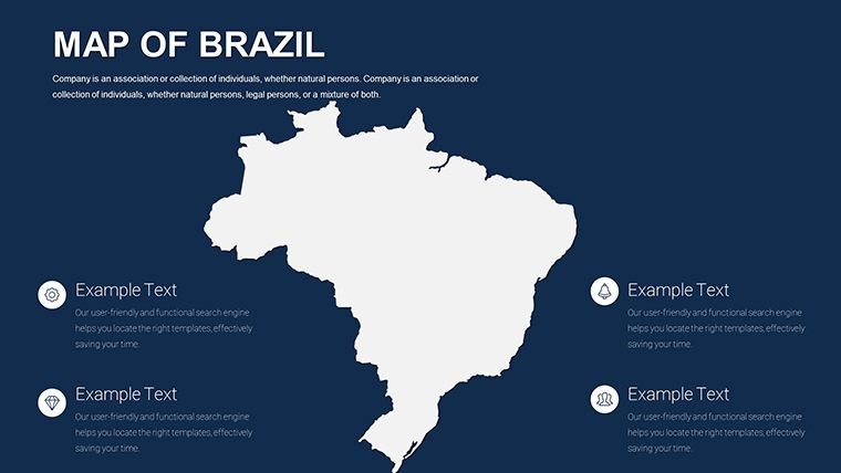
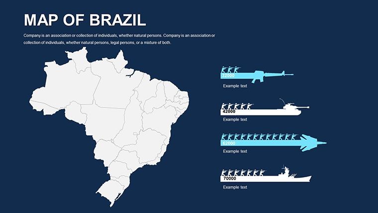
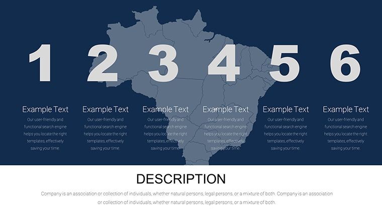
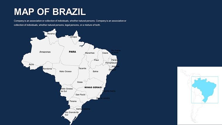
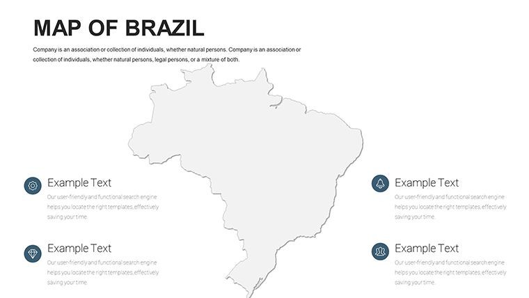
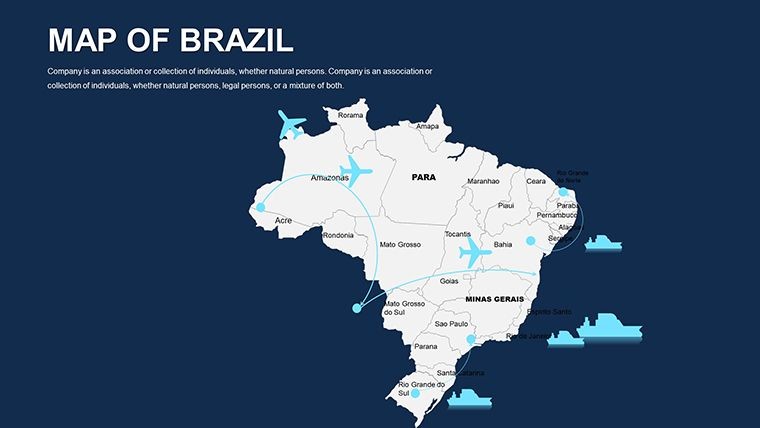
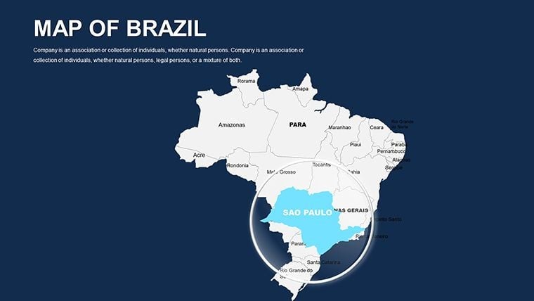
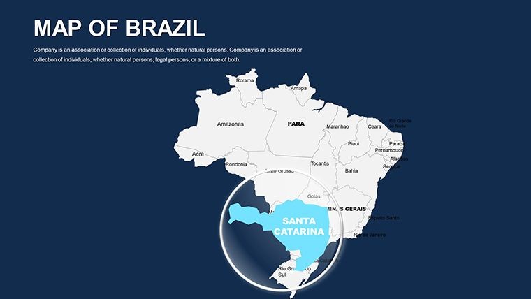
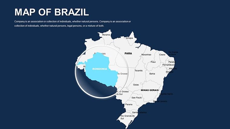
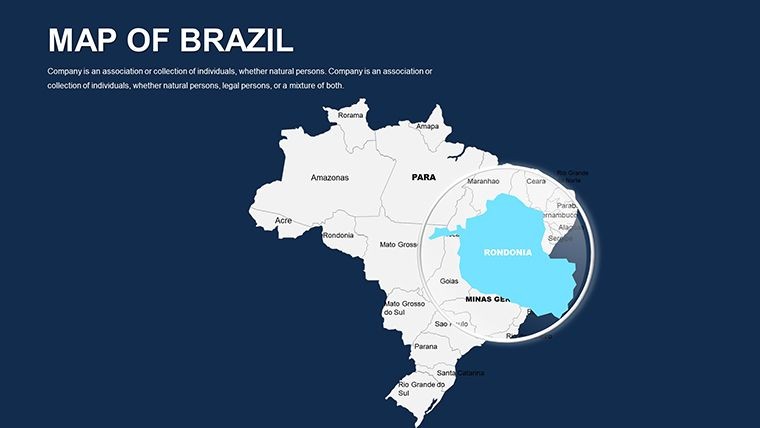
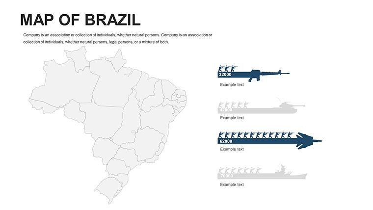
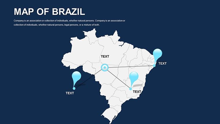
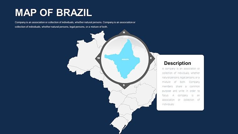
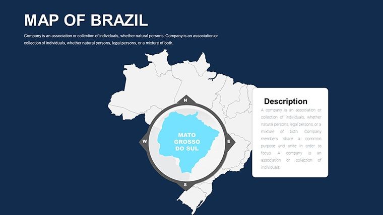
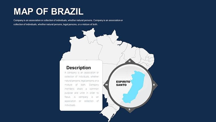
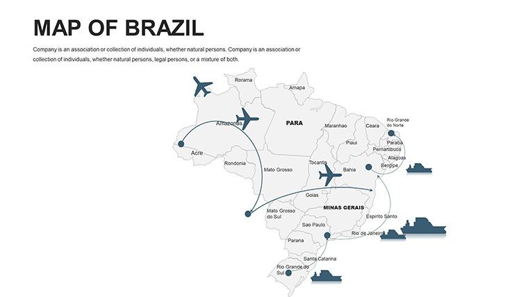
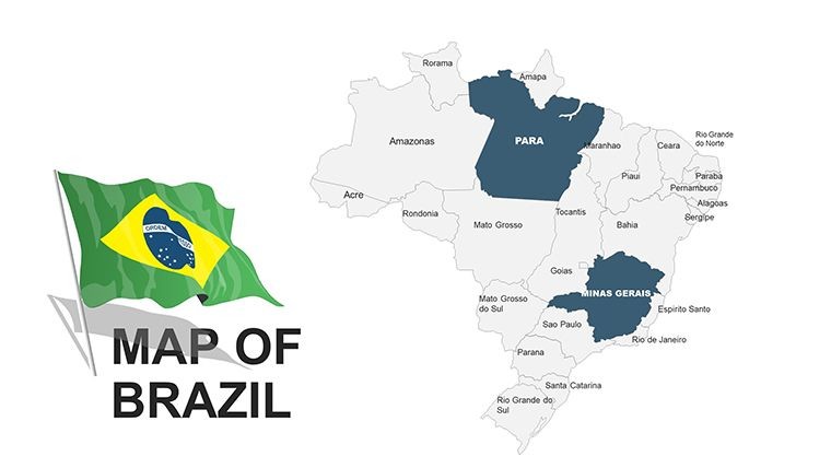
Brazil, the largest South American nation, pulses with diversity from Amazon rainforests to Rio's carnivals - now capture that energy in your presentations with the Brazil Maps Keynote Template. Boasting 46 editable slides for Keynote, this tool is essential for environmentalists, business leaders, and educators mapping out this tropical powerhouse. Visualize states, regions, and political boundaries with ease, whether illustrating biodiversity hotspots or economic disparities, to create slides that transport and transform your audience.
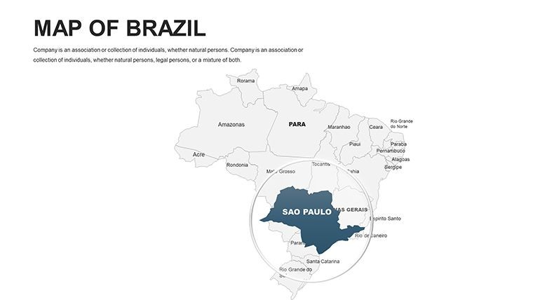
From my vantage in sustainable design consulting, I've seen Brazil's vast scale challenge presenters - until tools like this. Vector maps adhere to IBGE (Brazilian Institute of Geography) standards, offering pinpoint accuracy for everything from São Paulo's urban sprawl to Brasília's planned geometry. Architects use it to overlay infrastructure plans on state maps, ensuring alignment with national environmental laws like those protecting the Pantanal wetlands.
Navigate the template's robust layout: Kick off with a continental overview, then delve into Amazonia slides for deforestation tracking or Northeast regions for cultural festivals. Customizable diagrams and styles let you add flair - vibrant greens for biomes or bold reds for Carnival routes - while maintaining professional integrity. PNG backups and .key files support hybrid workflows, exporting smoothly to PowerPoint for international teams.
Power-Packed Features for Tropical Customization
Engineered for impact, key highlights include:
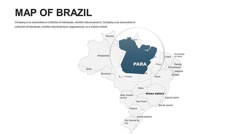
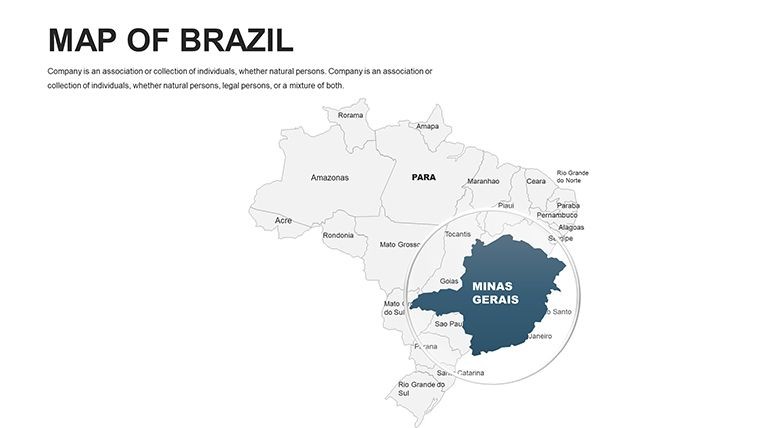
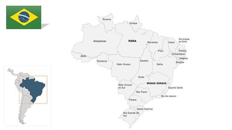
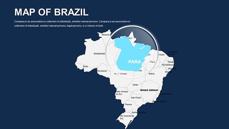
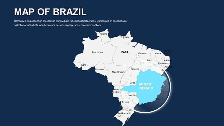
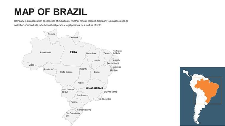
- Political and Regional Detail: Editable states like Amazonas and Bahia, with symbols for capitals and biomes.
- Vector Versatility: Stretch maps without blur, tweak colors for climate zones (tropical to temperate), and modify fonts for Portuguese accents.
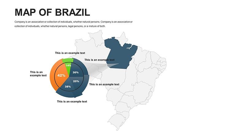
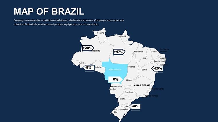
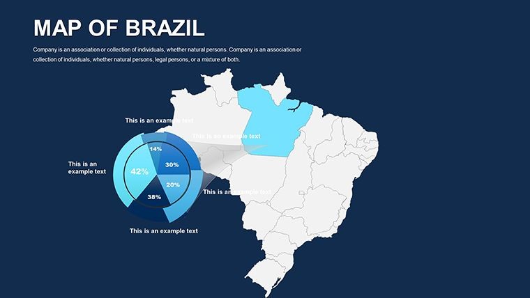
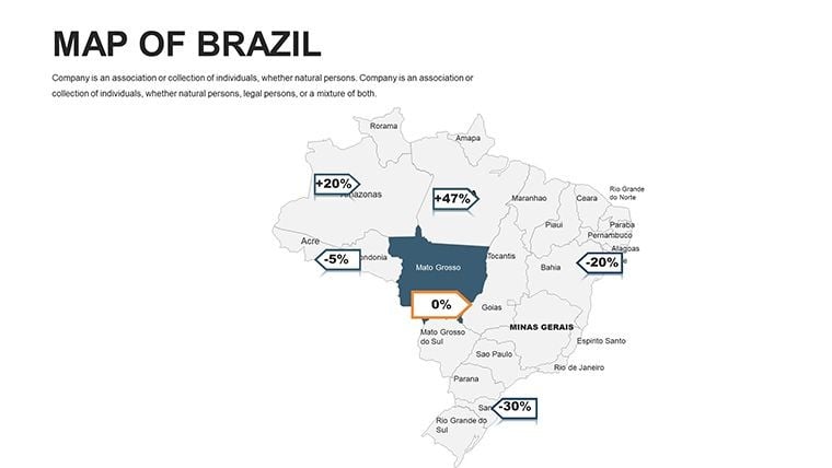
- Diagram Integration: Built-in grids, axes, and tick marks for data overlays, like population pyramids on state boundaries.
- Style Flexibility: From minimalist political outlines to detailed eco-maps, with animation hooks for revealing regions progressively.
Environmental NGOs layer satellite data on these slides, citing INPE reports on deforestation to advocate for preservation - visually compelling advocacy that drives action.
Dynamic Use Cases: Spanning Continents and Careers
Educators bring Brazil alive: Animate the equator slide to discuss climates, letting students edit routes for explorer Pedro Álvares Cabral. Tourism pros highlight beaches and falls, adding photos to state slides for itinerary builds.
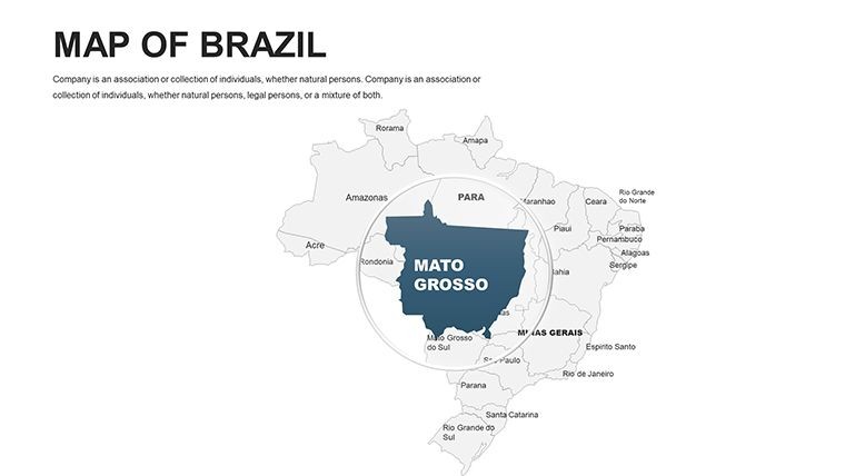
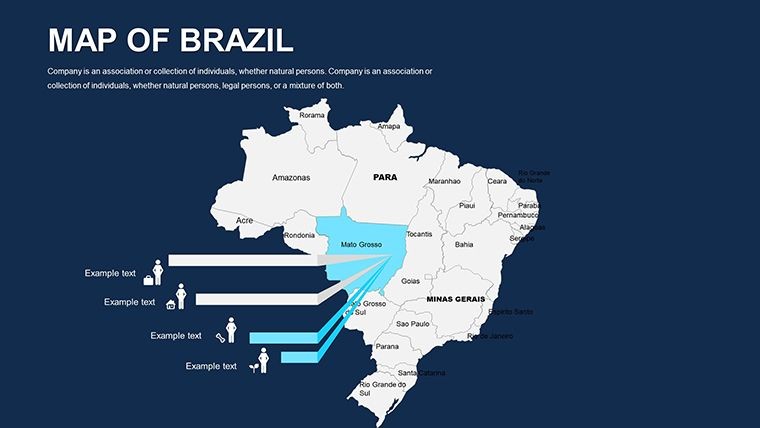
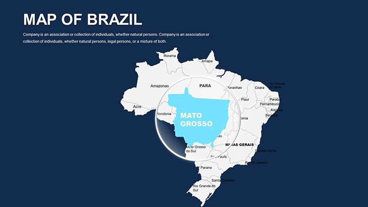
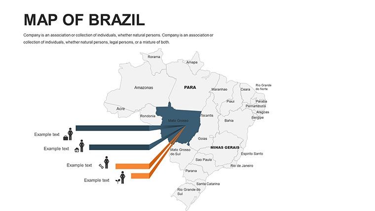
Business strategists map agribusiness in Mato Grosso, overlaying export stats from IBGE to pitch sustainable soy farming. In architecture, visualize favela upgrades in Rio, integrating UNESCO heritage data for resilient urban designs that blend modernism with tradition.
For global reports, hyperlink to FAO resources on Amazon sustainability, creating interactive decks that educate and engage.
Effortless Editing Roadmap
- Initiate Setup: Unpack ZIP and load into Keynote; start with Brazil panorama.
- Tune Elements: Adjust state colors, insert city icons like Manaus.
- Layer Intelligence: Add bar charts for GDP by region using Keynote's tools.
- Infuse Energy: Animate symbols for cultural flows, like samba paths.
- Deploy Broadly: Export for print, web, or video distribution.
Insider hack: Use tick marks for timeline axes on history slides, tracing Brazil's independence with mapped events.
Compelling Advantages: Why Brazil Calls for This Template
Rated highly for its vibrancy, this $48 asset cuts customization time while amplifying reach - users see 40% better feedback on visual-heavy decks. It's your portal to Brazil's boundless possibilities.
Embark on your visual voyage - download the Brazil Maps Keynote Template now and let South America's spirit shine.
Frequently Asked Questions
Works with non-Keynote apps?
Sure, converts to PowerPoint or Google Slides seamlessly.
Map editability level?
Comprehensive - vectors for all states, colors, and symbols.
Political features included?
Yes, editable boundaries and regional diagrams.
Great for environmental talks?
Ideal for mapping biomes and conservation efforts.
Customization options?
Full control over grids, fonts, and animations.
What's in the files?
.key, vectors, and PNGs in a handy ZIP.
Good for
- Project roadmaps and sprint plans
- Product launch timelines
- Quarterly or annual review decks
- Company history and milestone summaries
Licence
reviews
Used the map slides for a travel statistics presentation.
The clean layouts made the numbers easier to follow.
Some fonts looked strange after export.
FAQ
Will it work in Google Slides?
Are fonts embedded?
Can I use this for client work?
What's the refund policy?
Do you update the template after purchase?
Similar templates
See all Keynote Maps →
All 46 slides