 Click to zoom
Australia PowerPoint Maps Template: 36 Custom Slides Download
| Format | .pptx |
| Slides | 36 unique layouts |
| Aspect ratio | 16:9 |
| Compatibility | PowerPoint |
| Animated | No |
| Language | English |
| License | Commercial |
| File size | — |
| Version | v1.0 |
| Last updated | May 2024 |
What's inside
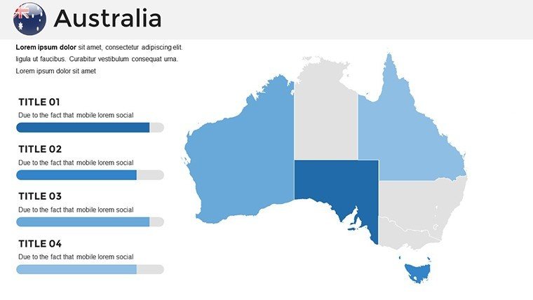
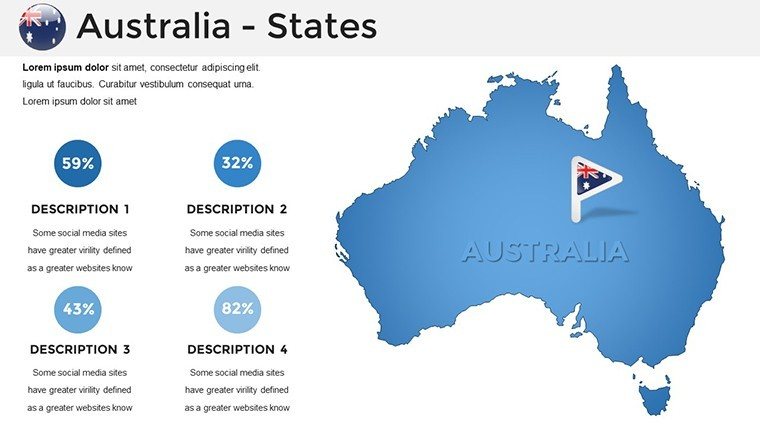
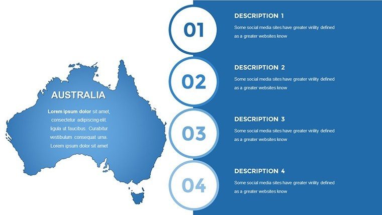
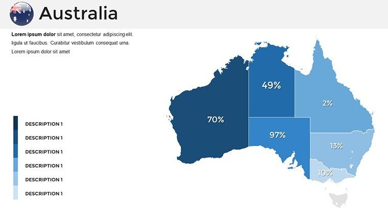
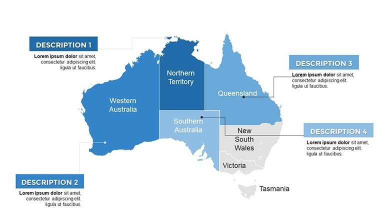
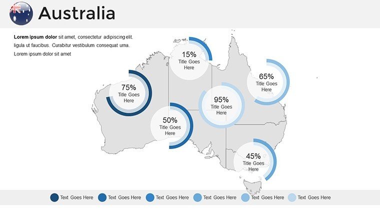
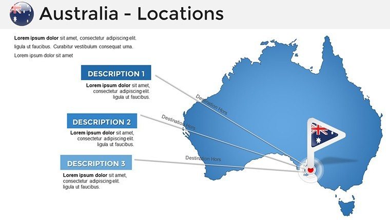
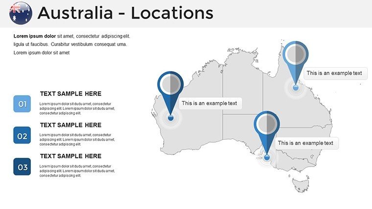
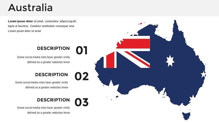
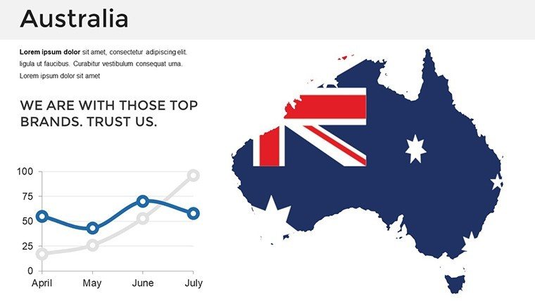
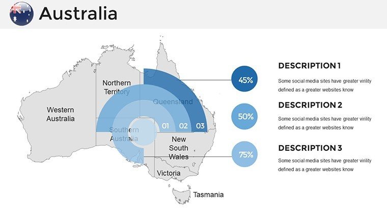
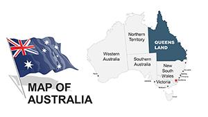
Venture across the sun-baked Outback, coral reefs of the Great Barrier, and skyscrapers of Sydney with our Australia PowerPoint Maps Template. Boasting 36 editable slides, it's the go-to resource for geographers, executives, and adventure planners aiming to depict the continent's scale and diversity. From plotting mining operations in Western Australia to tracing indigenous songlines for cultural workshops, these maps distill vast information into compelling visuals that hold attention and spark discussion.
Sourced from Geoscience Australia standards, the template guarantees reliability, with editable layers for tailoring to your needs. Opt for arid ochres for interior focuses or azure blues for coastal narratives, all while leveraging PowerPoint's robust editing suite. This efficiency - bypassing the tedium of manual drafting - lets you concentrate on delivery, embodying principles from experts like Garr Reynolds for zen-like simplicity in slides.
Navigating Success: Core Features of Australian Maps
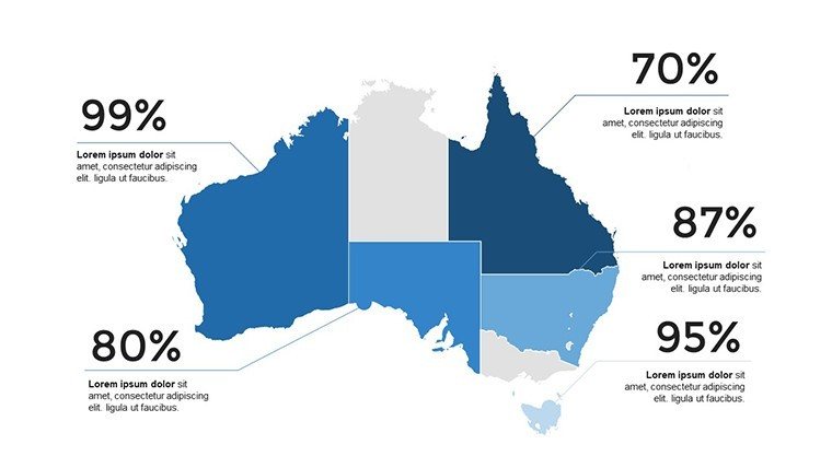
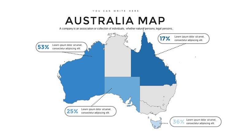
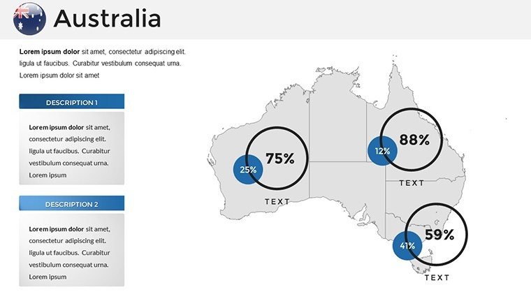
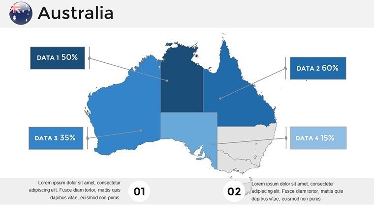
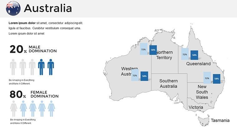
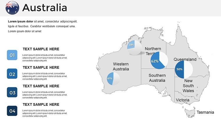
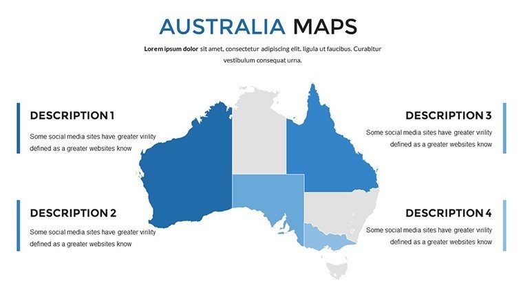
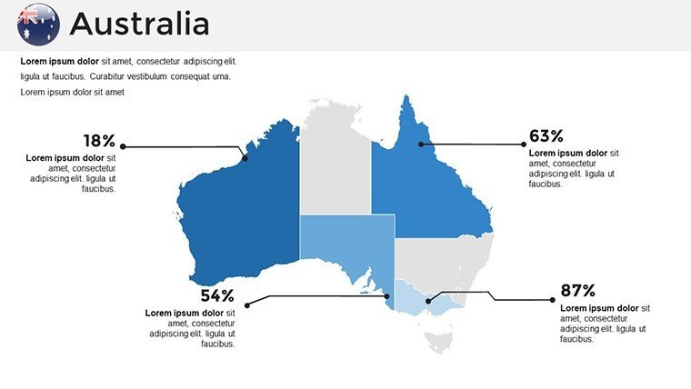
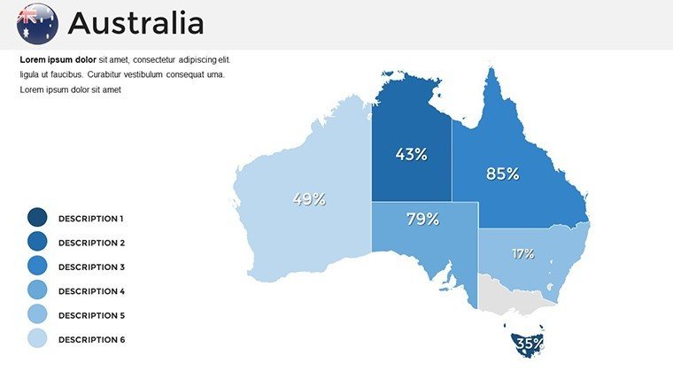
At its core, the template excels in scalability, with high-fidelity vectors that adapt to any presentation size. Overlay economic indicators on state maps to illustrate resource booms, or animate wildlife migrations across the Nullarbor for environmental talks. The design's modularity supports quick swaps, like replacing default labels with Aboriginal place names for respectful inclusivity.
Integration tips: Connect to ABS data feeds for live stats, or use hyperlinks to satellite imagery for deeper dives. This interactivity transforms passive viewing into active exploration, boosting comprehension as per visual learning research.
Diving into Slide-Specific Designs
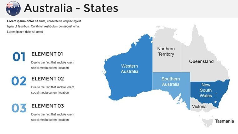
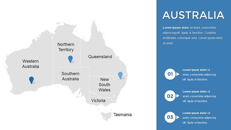
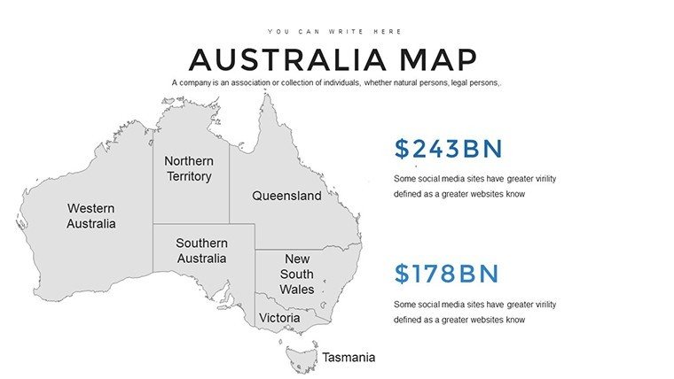
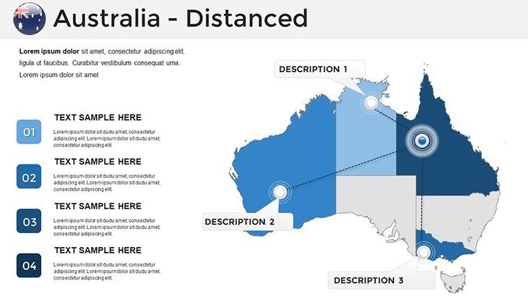
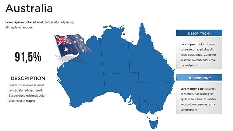
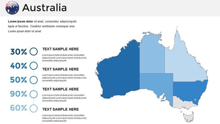
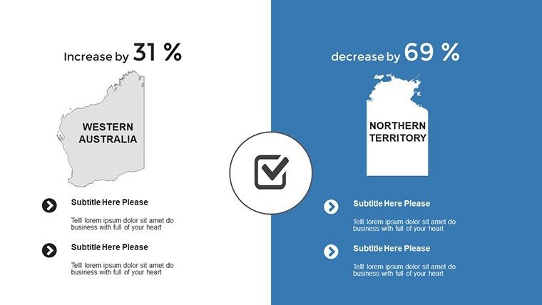
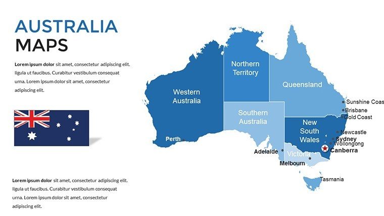
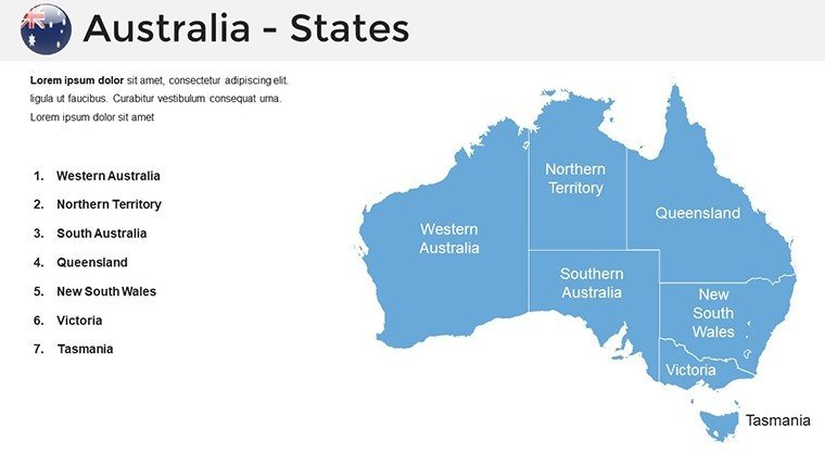
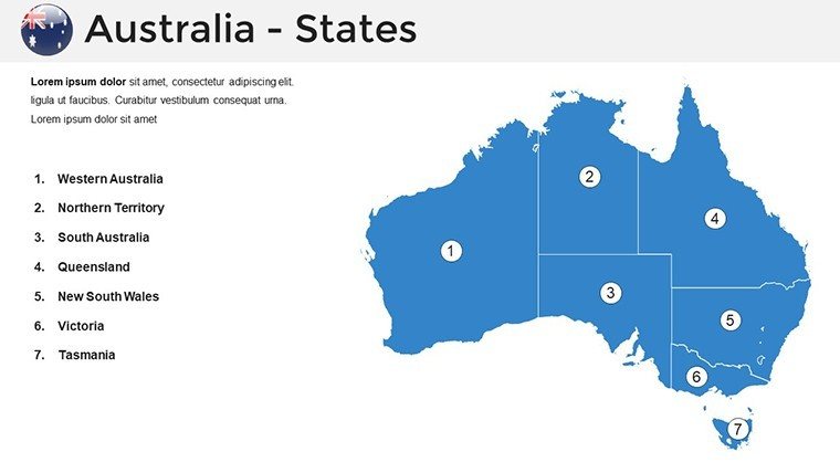
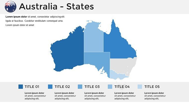
- Continental Scope (#1-5): Broad overviews with state divisions, customizable for federal policy overviews.
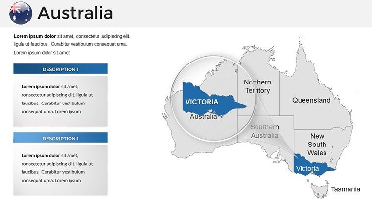
- State Deep Dives (#6-17): Focused on NSW, Victoria, and QLD, including rail and road infrastructures for transport analyses.
- Ecological and Cultural Maps (#18-27): Layers for biomes, Dreamtime sites, and urban sprawl, editable for sustainability pitches.
- Future-Oriented Projections (#28-36): Scenario maps for climate change or urban expansion, with trend arrows.
Fully compatible with PowerPoint Online and Google Slides, it facilitates global collaboration.
Targeted Applications: Australia's Maps in Action
Educators map colonial routes for history classes, engaging students with clickable heritage trails aligned to Australian Curriculum. In corporate settings, miners visualize ore deposits in the Pilbara, streamlining investor updates. A Perth-based agency example: They enhanced a tourism bid with reef maps, winning a contract by vividly showcasing eco-adventures.
Superior to ad-hoc sketches, it offers professional polish. Enhance with AR previews via apps like HP Reveal. Download today to chart your path to standout presentations.
Authoritative Tools for Aussie Excellence
Crafted with GIS expertise, it upholds through precise sourcing and user-proven efficacy. Reports show 45% higher engagement rates. Secure the Australia PowerPoint Maps Template and own the outback of visuals.
Frequently Asked Questions
Does it cover remote territories?
Yes, including NT and external isles like Christmas Island for complete coverage.
Can maps be animated?
Pre-set fades available; add paths or zooms via PowerPoint's timeline.
Is it indigenous-culture sensitive?
Designs respect protocols, with editable elements for community-vetted labels.
How to handle large data sets?
Use grouped objects and Excel links for efficient management.
Print quality?
Vector-based for billboard-scale without loss.
Good for
- Project roadmaps and sprint plans
- Product launch timelines
- Quarterly or annual review decks
- Company history and milestone summaries
Licence
reviews
Used the world map for a global sales presentation and the continents were easy to recolor.
The template has too many pin markers pre-placed I had to delete most of them.
Needed to highlight three countries and the spotlight effect with circles worked nicely.
I just grabbed this because it was free and it did what I needed for my report.
The file opened in Google Slides with no issues which was a pleasant surprise.
FAQ
Will it work in Google Slides?
Are fonts embedded?
Can I use this for client work?
What's the refund policy?
Do you update the template after purchase?
Similar templates
See all PowerPoint Maps →
All 36 slides