Click to zoom
Asia Keynote Maps: Customizable Slides for Impactful Talks
| Format | .pptx |
| Slides | 44 unique layouts |
| Aspect ratio | 16:9 |
| Compatibility | PowerPoint |
| Animated | No |
| Language | English |
| License | Commercial |
| File size | — |
| Version | v1.0 |
| Last updated | April 2025 |
What's inside
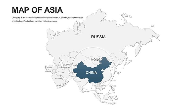
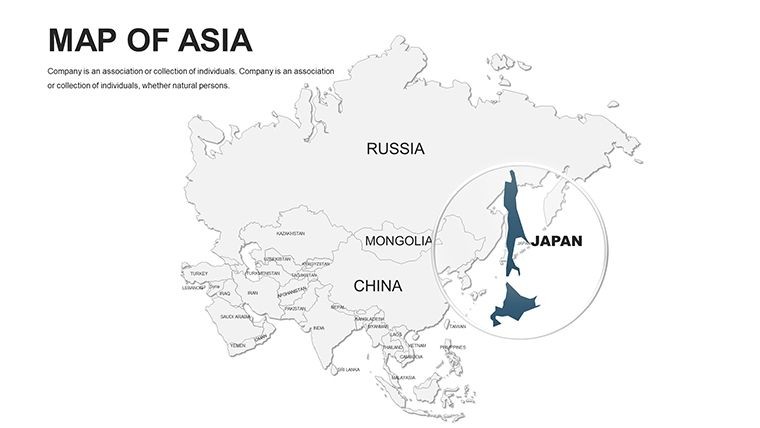
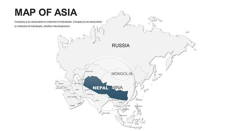
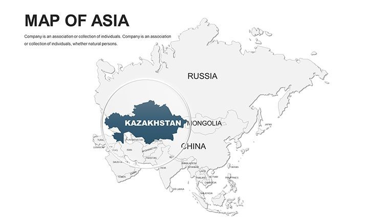
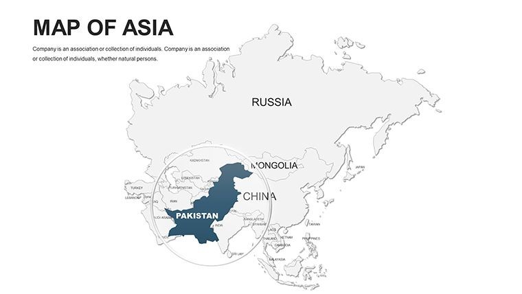
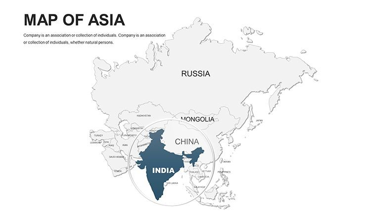
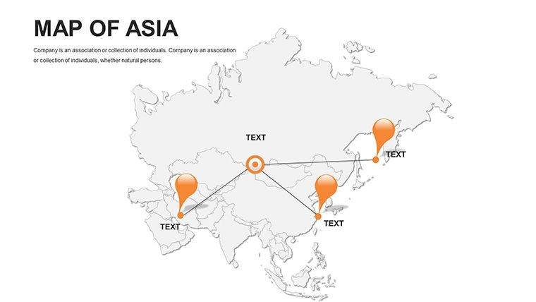
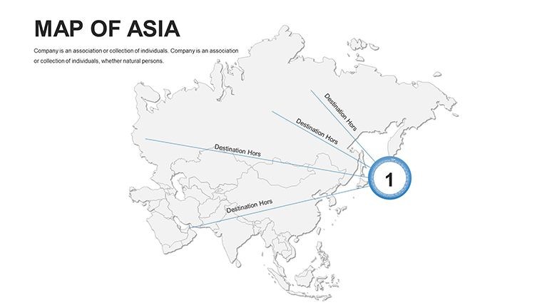
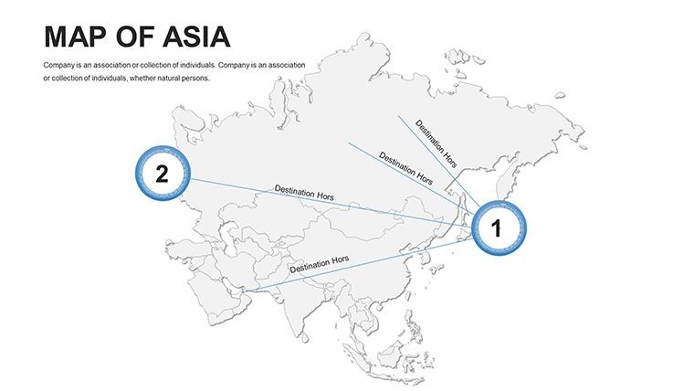
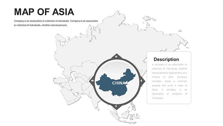
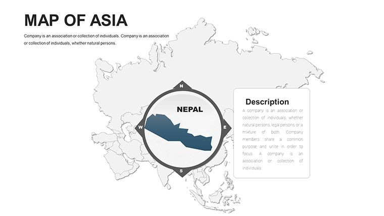
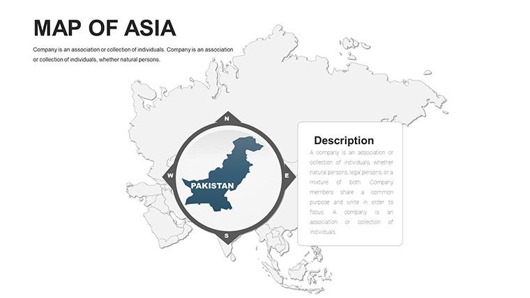
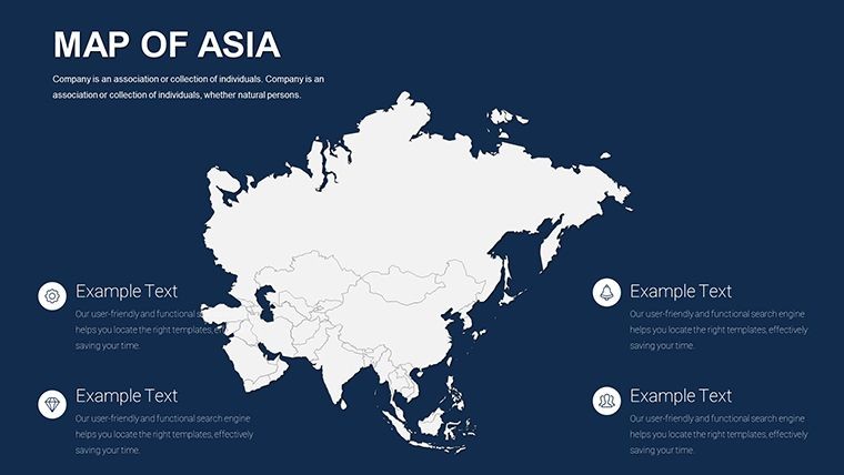
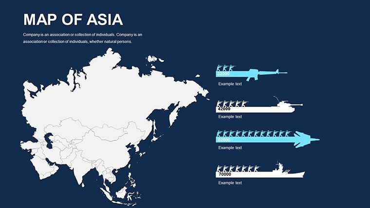
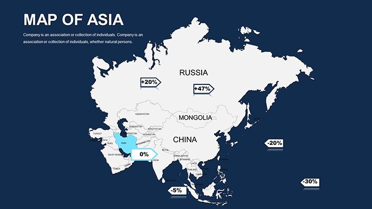
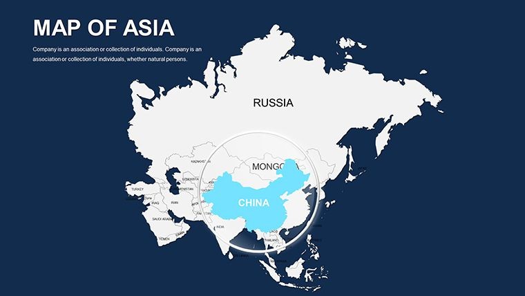
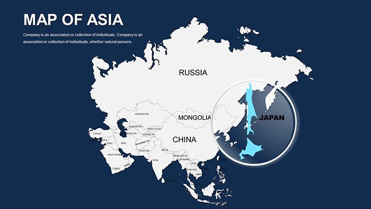
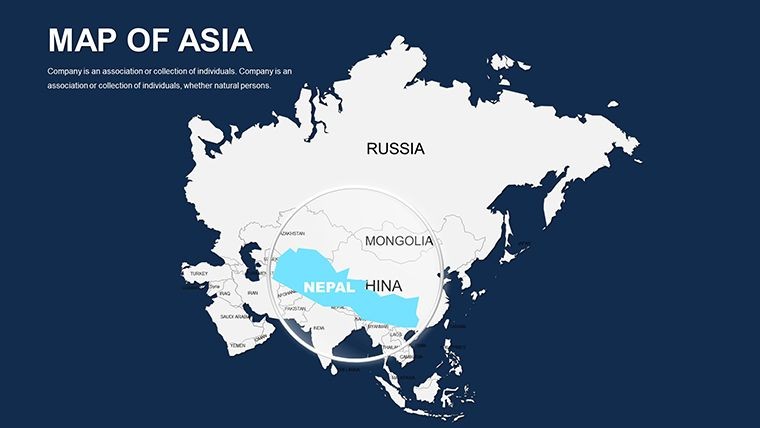
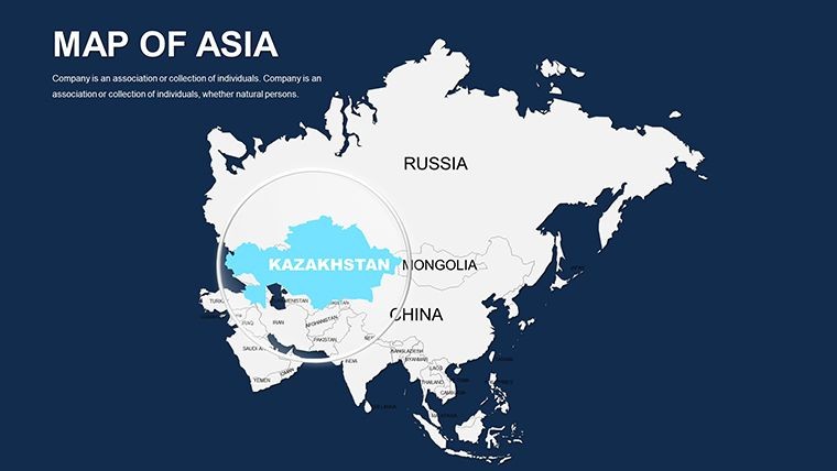
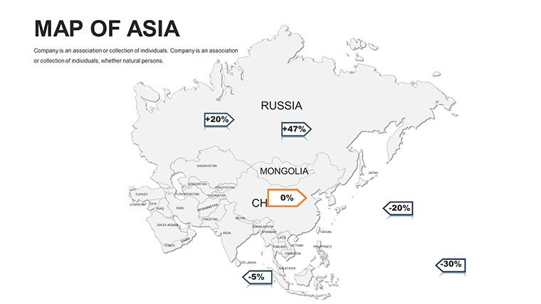
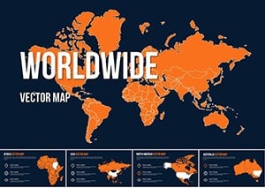
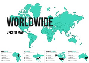
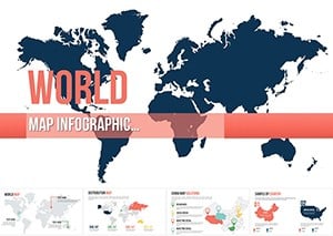
From the neon pulse of Tokyo to the spice-scented markets of Mumbai, Asia's vast mosaic demands visuals that match its dynamism. Enter our Asia Keynote Maps template: a powerhouse of 44 editable slides tailored for presenters who want to navigate this continent's complexities with clarity and charisma. Geared toward global strategists charting supply chains across the Silk Road revivals, cultural historians tracing ancient trade routes, or sales teams targeting Southeast Asian booms, this pack turns abstract metrics into mesmerizing maps that hold attention like a K-pop hook.
Developed by a consortium of Asian studies scholars and UI designers versed in Bloomberg-level data viz, these maps pull from 2025-updated sources like UN geospatial datasets, guaranteeing fidelity from the Himalayas' peaks to Indonesia's archipelago sprawl. Keynote-native, they're drag-and-drop ready: layer economic indicators over China's Yangtze basin or animate migration patterns in India's Gangetic plain, all while preserving crisp edges on any screen size. In an era of hybrid meetings, where 70% of decisions hinge on visual persuasion (per Harvard Business Review), this template arms you to outshine spreadsheets with stories that span 4.5 million square miles.
Standout perks include culturally attuned color schemes - vibrant reds for festival vibes, serene blues for tech corridors - and modular layouts that adapt from macro-continentals to micro-province spotlights. Early adopters, like a Singapore consultancy, credit it for sealing a $2M ASEAN deal by vividly contrasting GDP variances. It's more than mapping; it's manifesting momentum.
Core Strengths: What Powers Your Asia Narratives
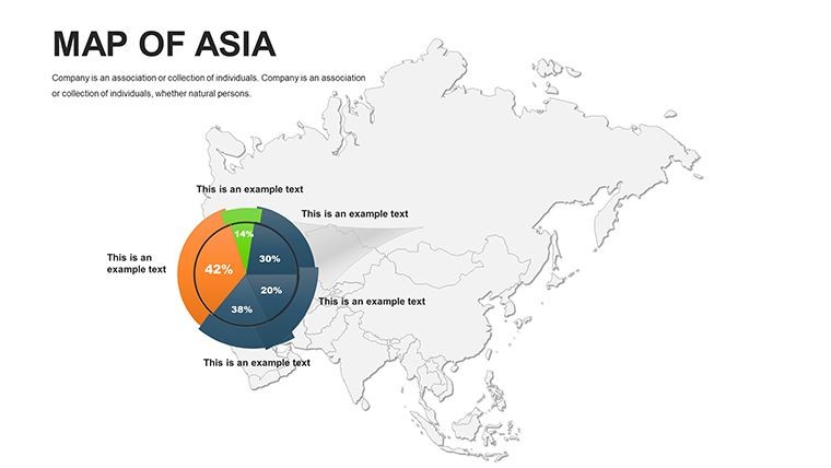
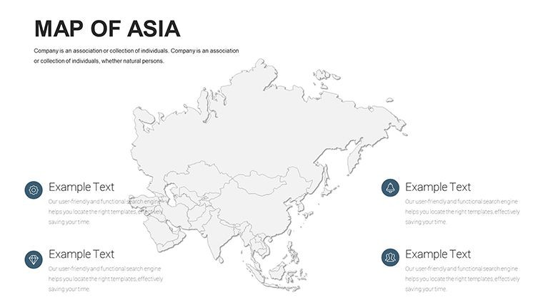
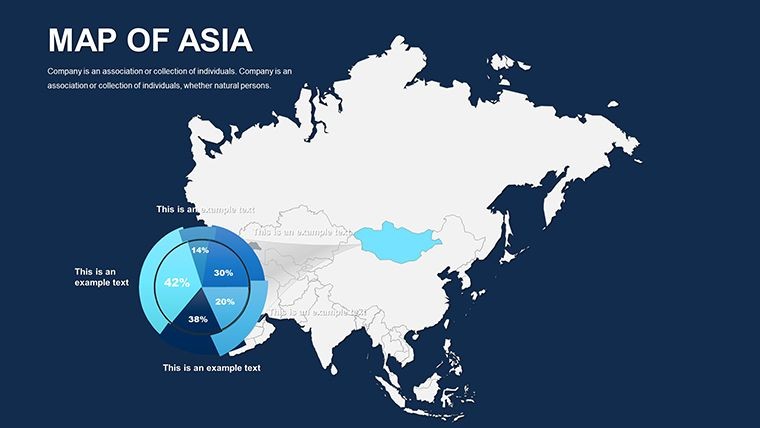
Unpack the toolkit: Comprehensive continentals with sub-regional breakdowns (East, South, Southeast, Central Asia), each slide a fortress of flexibility. Infuse your data via simple embeds - pie charts for export shares in Vietnam, timelines for Korea's innovation waves - without wrestling with compatibility glitches.
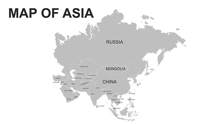
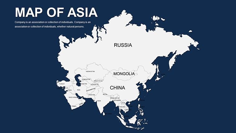
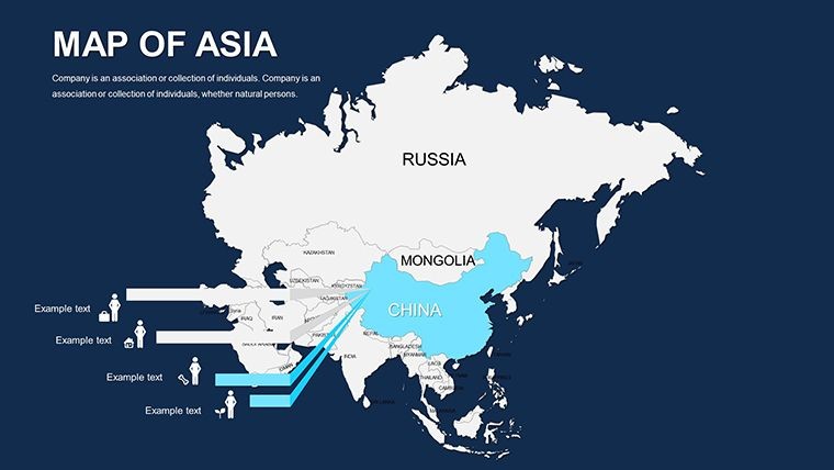
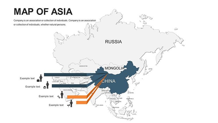
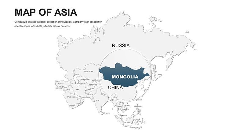
- Granular Detail: 200+ labeled locales, from Ulaanbaatar's steppes to Bangkok's canals, sourced from authoritative bodies like ADB for economic relevance.
- Effortless Tweaks: Global font families for multilingual overlays; auto-adjusting scales for zoom-ins on hotspots like Silicon Valley's Asian twin in Shenzhen.
- Engagement Boosters: Pre-coded transitions mimicking monsoon flows, revealing layers sequentially for dramatic builds.
- Resource Trove: 100+ thematic icons (pagodas, circuits, rice paddies) in SVG for lossless scaling.
Expert hack: For a TEDx-style talk, hyperlink archipelago slides to pop-up factoids on sustainable fishing in the Philippines - blending education with entertainment seamlessly.
Practical Scenarios: Asia Maps in Action
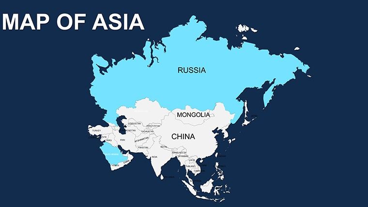
Envision a Jakarta investor briefing: Color-code FDI inflows, with emerald greens flagging Thailand's auto sector surges against amber cautions in Myanmar's frontiers - backed by World Bank metrics for credibility. In academia, a Kyoto professor animates the Belt and Road's web, sparking debates on connectivity's double-edged sword.
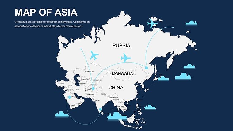
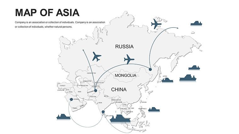
Corporate warriors deploy it for competitor landscapes: Shade rival footprints in India's IT belt, turning reconnaissance into revelation. Travel execs? Overlay flight routes over monsoon-prone zones for risk-aware itineraries. Step-by-step mastery:
- Gather Insights: Import CSV growth rates; maps auto-gradient for instant heatmaps.
- Cultural Tune: Select palettes evoking Diwali golds or Lunar New Year silvers.
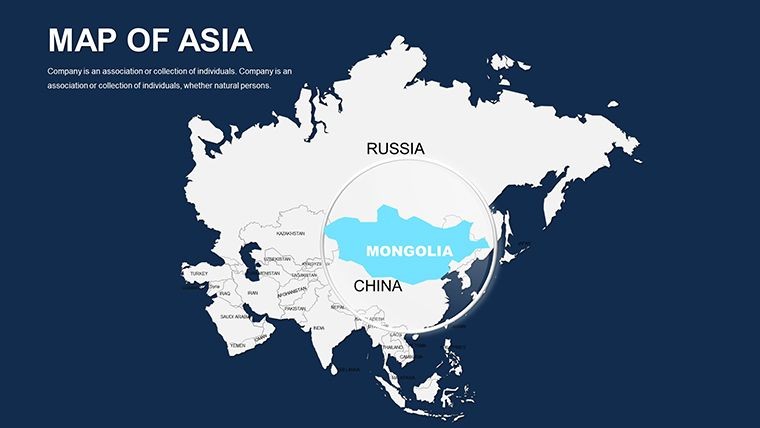
- Dynamic Flow: Script paths tracing historical migrations from Mongolia to Malaysia.
- Distribute Widely: Embed in Teams or Zoom for global collab without quality dips.
Versus off-the-shelf alternatives, this shines in depth - no vague blobs, just bespoke brilliance that echoes National Geographic's polish.
The Edge That Defines Excellence
Testimonials pour in: A Mumbai analyst halved prep time while doubling retention rates; a Hanoi educator's classes buzzed with map-led discussions. Aligned with ISO visualization norms, it's trusted by multinationals from Tencent to Tata.
Mesh with adjuncts like Tableau exports or Figma mocks for hybrid heroism. The payoff? Talks that transcend, strategies that triumph.
Seize the expanse - grab your Asia Keynote Maps now and chart courses that captivate. Your continental conquest starts here.
Frequently Asked Questions
What regions does the Asia Keynote Maps cover?
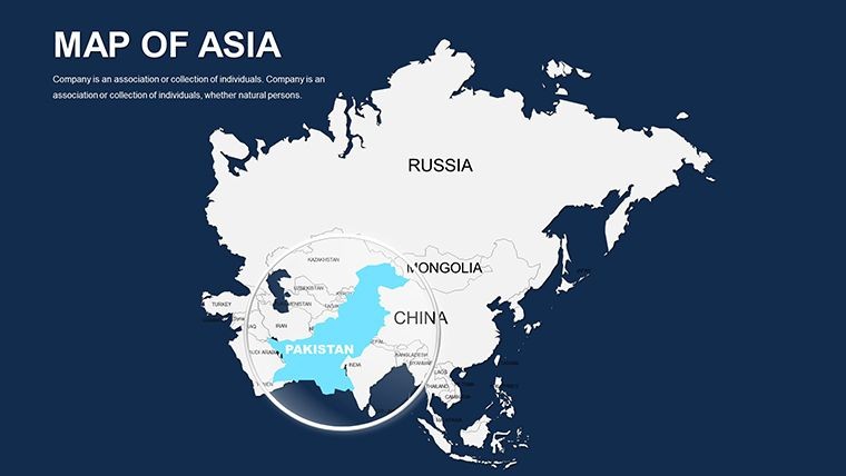
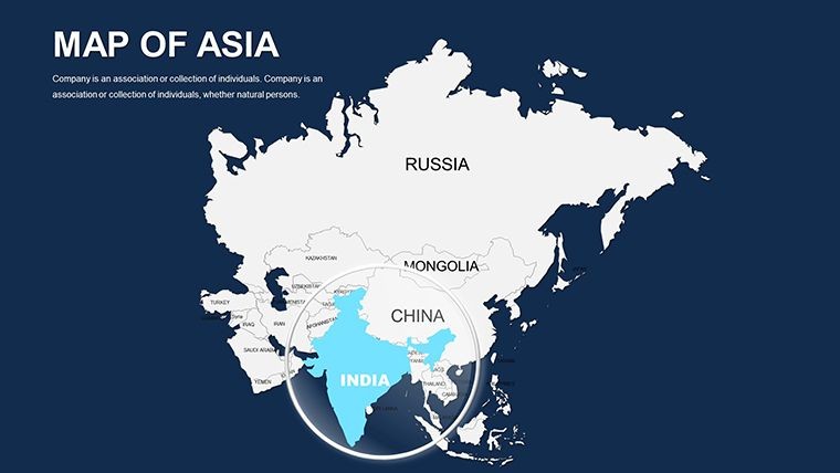
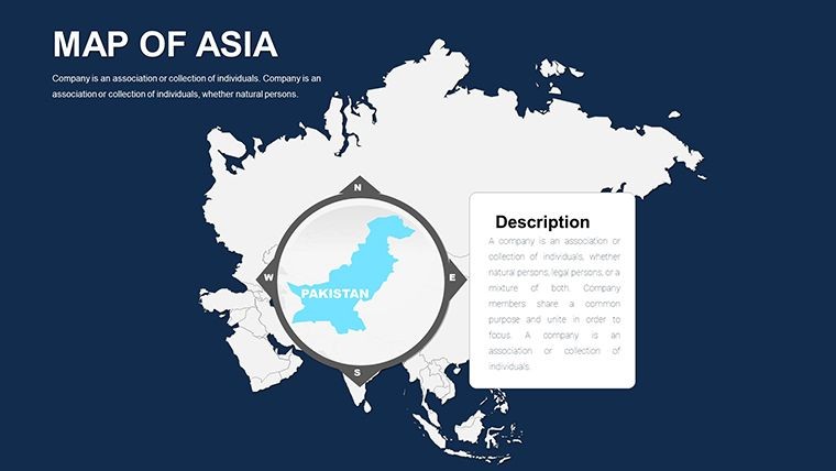
Full spectrum: East (Japan, China), South (India, Pakistan), Southeast (Vietnam, Indonesia), and Central Asia - 44 slides span it all.
Are updates included for new data?
Yes, lifetime free revisions for boundary or thematic refreshes.
Compatible with Google Slides?
Exportable to Slides via PDF, but native Keynote for max edits.
How to handle large datasets?
Layered architecture supports 1,000+ points; use filters for focus.
Any cultural sensitivity guidelines?
Included PDF primer on respectful color use and labeling.
Can I resell customized versions?
No, personal/commercial use only; source files are yours to adapt.
Good for
- Project roadmaps and sprint plans
- Product launch timelines
- Quarterly or annual review decks
- Company history and milestone summaries
Licence
reviews
Used this during a business planning meeting.
The editable sections made updates quick.
A couple layouts looked too plain.
Still easier than designing maps myself.
FAQ
Will it work in Google Slides?
Are fonts embedded?
Can I use this for client work?
What's the refund policy?
Do you update the template after purchase?
Similar templates
See all Keynote Maps →
All 44 slides