 Click to zoom
Argentina PowerPoint Maps Template: Diverse Landscapes in Focus
| Format | .pptx |
| Slides | 36 unique layouts |
| Aspect ratio | 16:9 |
| Compatibility | PowerPoint |
| Animated | No |
| Language | English |
| License | Commercial |
| File size | — |
| Version | v1.0 |
| Last updated | May 2024 |
What's inside
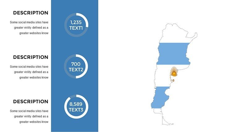
Step into the vast expanses of Argentina, from the snowy peaks of Patagonia to the vibrant streets of Buenos Aires, all through our comprehensive PowerPoint Maps Template. Boasting 36 editable slides, this resource is a boon for marketers promoting wine tours in Mendoza, analysts tracking beef exports from the Pampas, or educators delving into the gaucho culture of the plains. It empowers you to create presentations that are as dynamic as a tango dance, blending geographical precision with narrative depth.
Customize markers for landmarks like Iguazú Falls or the Aconcagua summit, overlaying data from INDEC (National Institute of Statistics and Censuses) for economic insights. This template adheres to cartographic excellence, akin to standards from the Instituto Geográfico Nacional, ensuring your visuals are credible and engaging for audiences at forums like the G20 summits hosted in Argentina.
For tourism pros, map routes through the Andes, highlighting adventures that rival those in National Geographic features. In business, illustrate lithium mining potentials in the Salta province, drawing from reports by the World Economic Forum on resource economies.
Core Features for Versatile Storytelling
Capturing Argentina's diversity, the template offers robust tools with a nod to the country's eclectic heritage - from European influences to indigenous roots.
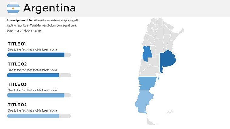
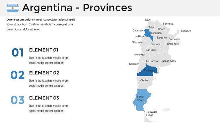
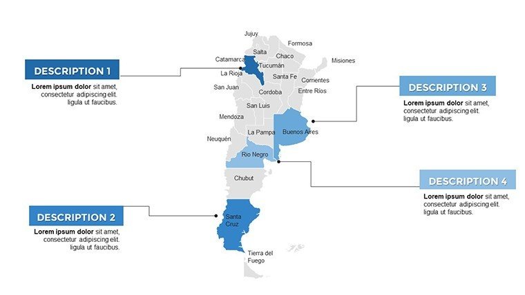
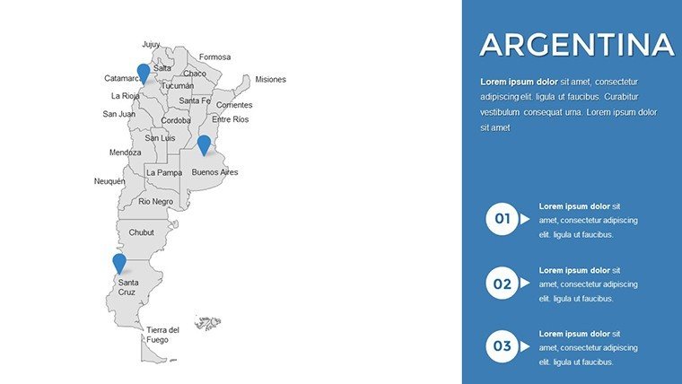
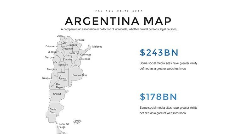
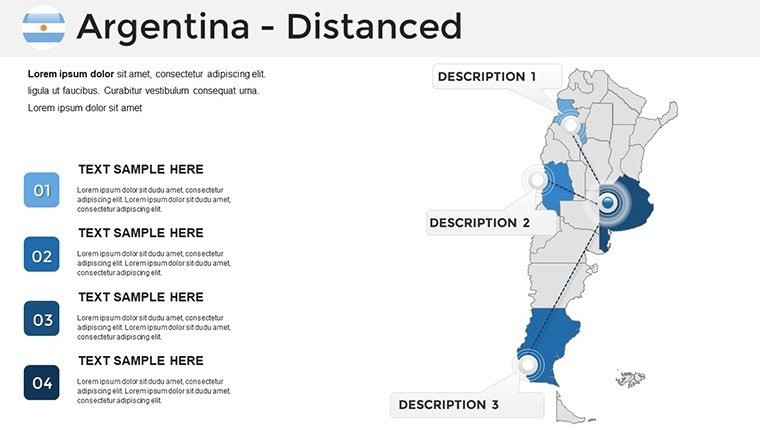
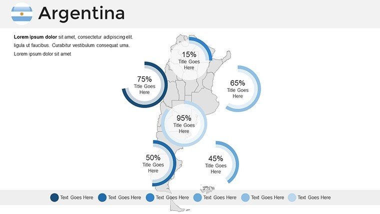
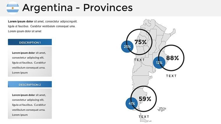
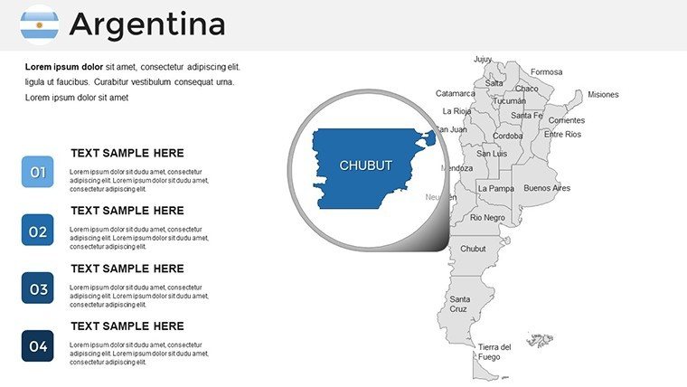
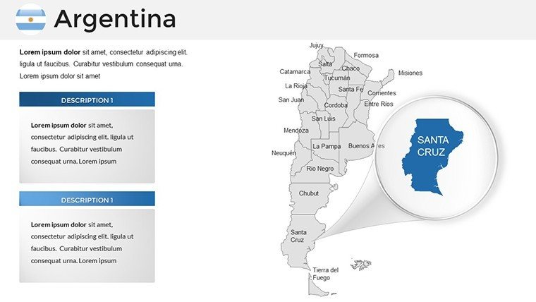
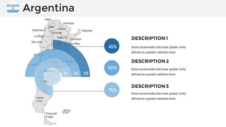
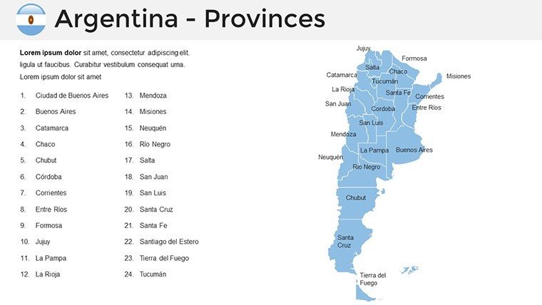
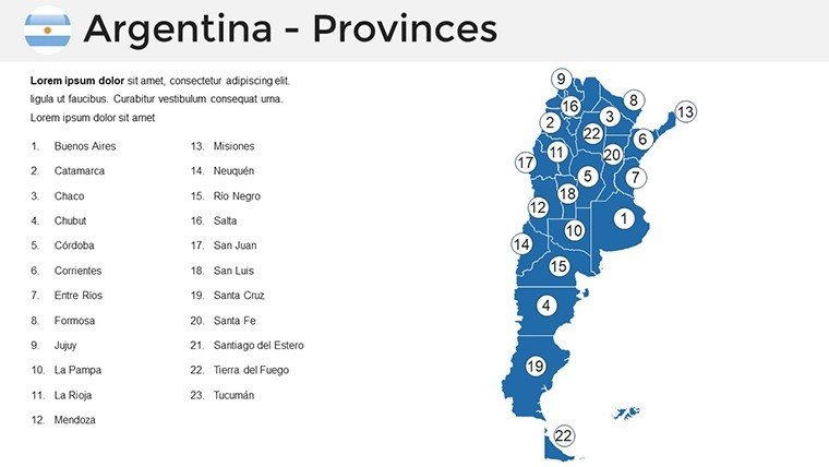
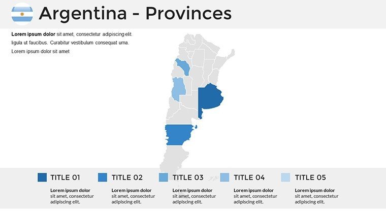
- High-Res Provincial Maps: Detailed views of 23 provinces plus Buenos Aires, editable for regional focus.
- Stylistic Flexibility: Adjust themes to match corporate branding or thematic events like Carnival.
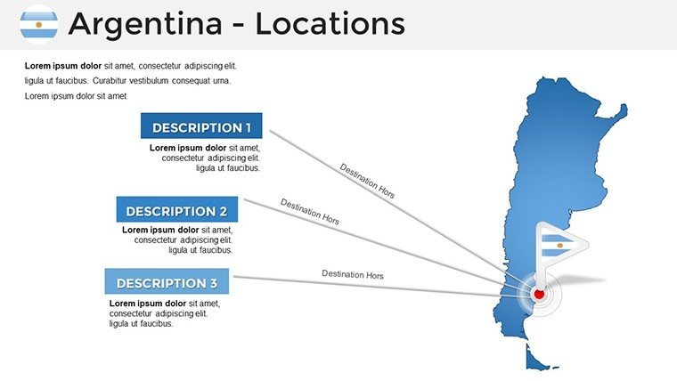
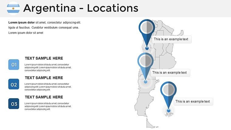
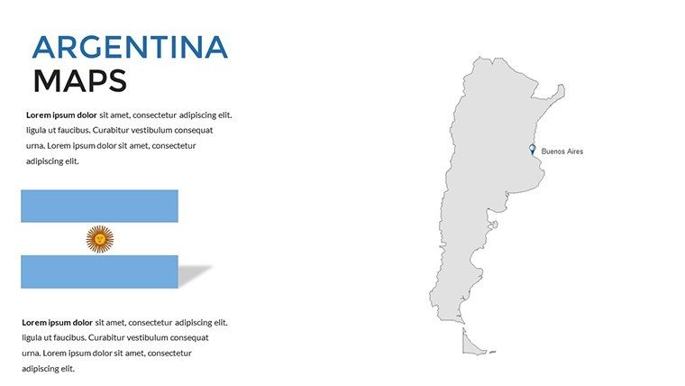
- Marker and Shape Tools: Pinpoint locations like Ushuaia, the world's southernmost city.
- Multiple Layouts: From topographic to political, suiting varied presentation goals.
- User-Friendly Interface: Intuitive for all skill levels, speeding up creation.
These features support effective communication, as evidenced by studies from Harvard Business Review on visual aids in strategy sessions.
Exploring the Slide Collection
Unpack the 36 slides for tailored use:
- Country-Wide View: For broad overviews in international trade talks.
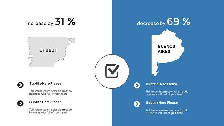
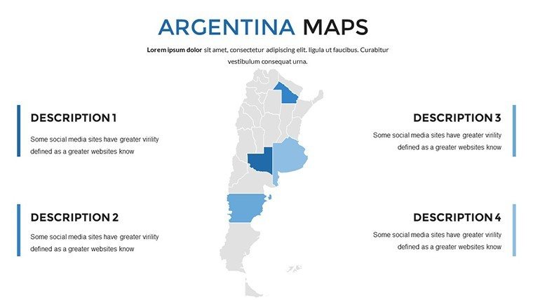
- Province-Specific: Slides for Córdoba or Santa Fe, ideal for agricultural data.
- Urban Centers: Editable Buenos Aires grids for urban planning pitches.
- Landscape Layers: Highlight Andes or Patagonia for eco-tourism.
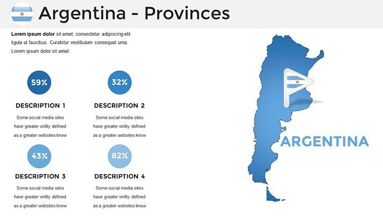
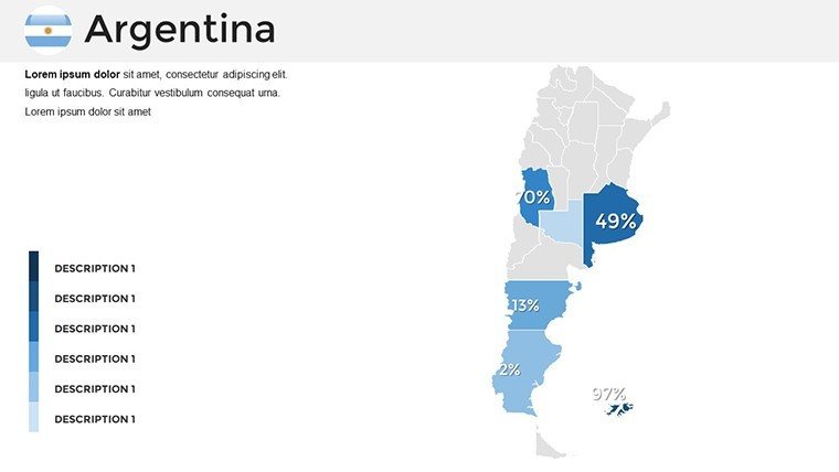
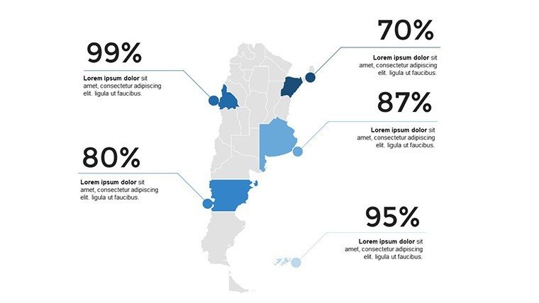
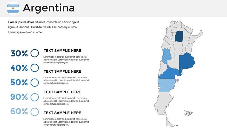
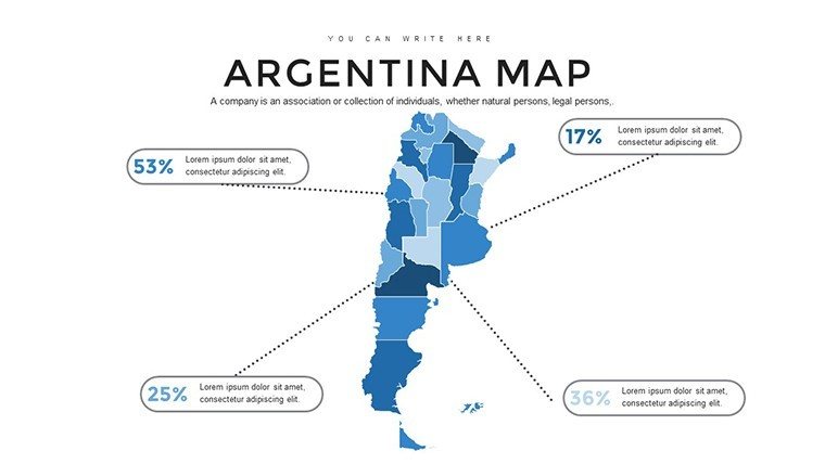
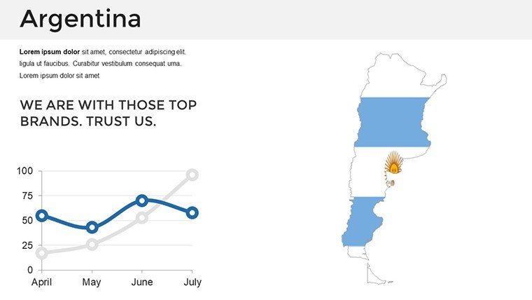
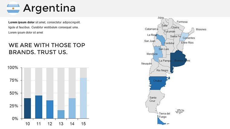
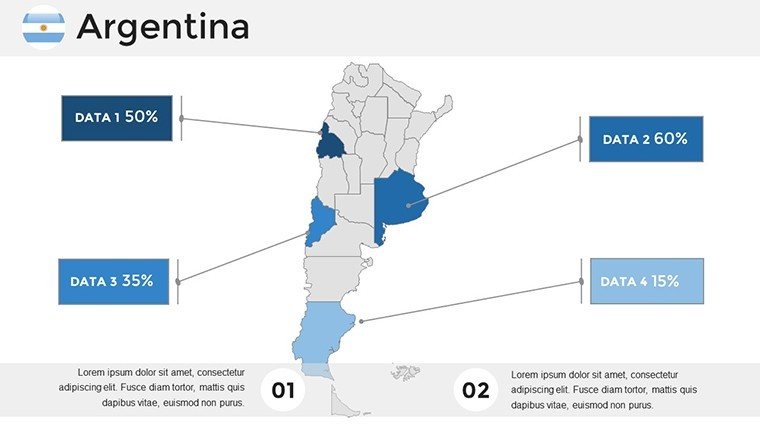
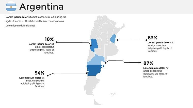
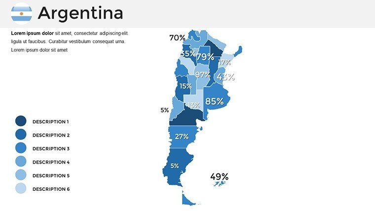
- Data Visualization: Choropleth templates for election results or GDP maps.
- Themed Icons: Soccer fields, wine glasses, or tango dancers for cultural flair.
Build a presentation on climate resilience in the Gran Chaco, referencing IPCC reports for added authority.
Applications That Drive Results
Educators animate history lessons on Perón's era with mapped timelines, enhancing learning as per UNESCO education metrics. Businesses use it for expansion strategies into Mercosur markets, mirroring tactics in successful Unilever case studies.
Tourism agencies craft immersive pitches for Antarctic cruises from Ushuaia, boosting conversions per Skift research. Researchers map biodiversity in the Yungas forest, supporting grants from the WWF.
This surpasses basic maps by offering Argentina-centric depth, reducing design time while amplifying impact.
Practical Tips for Mastery
Enhance with these:
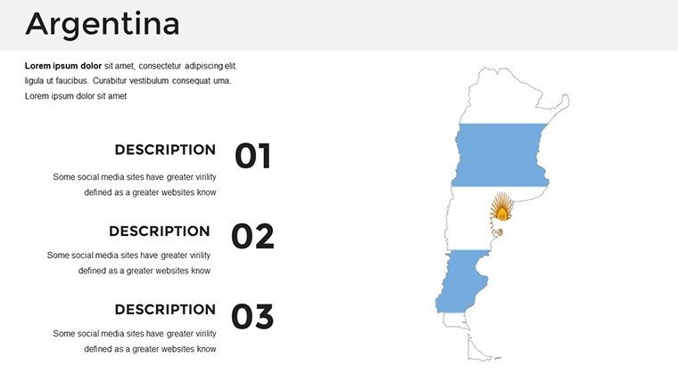
- Embrace bold colors: Reflect Argentina's flag for patriotic appeal.
- Layer narratives: Build from macro to micro for dramatic reveals.
- Source integrations: Link to real-time data from FAO on agriculture.
- Accessibility focus: Use alt texts and contrasts for inclusive design.
- Collaborate: Share editable files for team inputs on projects.
Guided by principles from storytelling experts like Nancy Duarte.
Your Go-To for Argentine Insights
With its professional edge, this template is essential for anyone tackling Argentina's multifaceted story.
Seize the opportunity - download and customize to bring Argentina's spirit to your slides today.
Frequently Asked Questions
How flexible are the map elements?Completely customizable, including colors, texts, and shapes.Works with Google Slides?Yes, compatible across platforms for convenience.Ideal for tourism presentations?Perfect, with features for highlighting attractions.Can I overlay custom data?Yes, easily integrate stats and charts.Licensed for business use?Fully, for professional and collaborative needs.What about updates?Base on current maps, with room for your updates.Good for
- Project roadmaps and sprint plans
- Product launch timelines
- Quarterly or annual review decks
- Company history and milestone summaries
Licence
reviews
Used this during a logistics meeting and the route graphics fit perfectly.
I liked the clean map lines because they stayed readable on Zoom.
Some layouts felt a bit copied from each other but still usable.
I don't care much about design stuff and this was easy to fill in.
The icons loaded fine in PowerPoint which surprised me honestly.
FAQ
Will it work in Google Slides?
Are fonts embedded?
Can I use this for client work?
What's the refund policy?
Do you update the template after purchase?
Similar templates
See all PowerPoint Maps →
All 36 slides