 Click to zoom
Alberta PowerPoint Maps: Blueprinting Innovation Across the Prairies
| Format | .pptx |
| Slides | 6 unique layouts |
| Aspect ratio | 16:9 |
| Compatibility | PowerPoint |
| Animated | No |
| Language | English |
| License | Commercial |
| File size | — |
| Version | v1.0 |
| Last updated | May 2024 |
What's inside
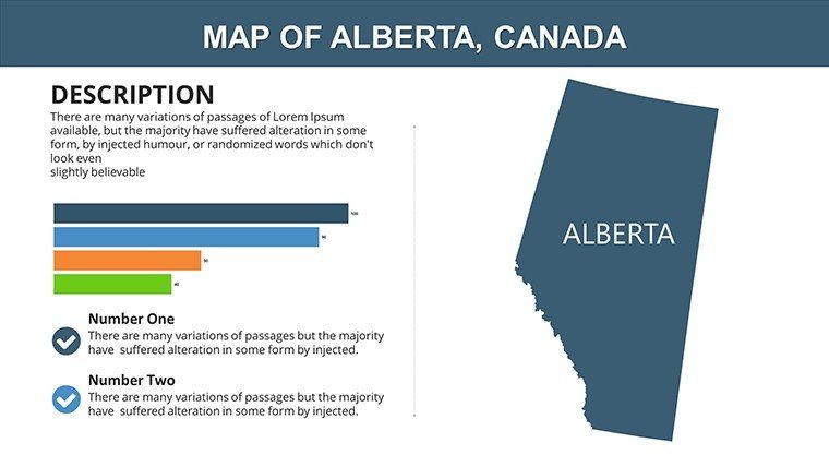
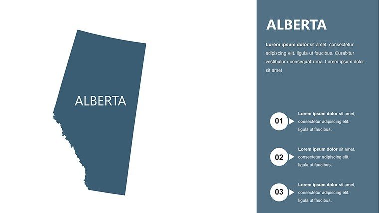
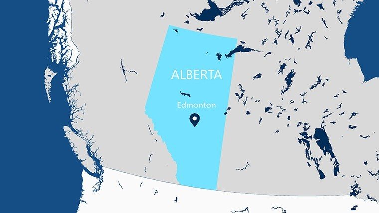
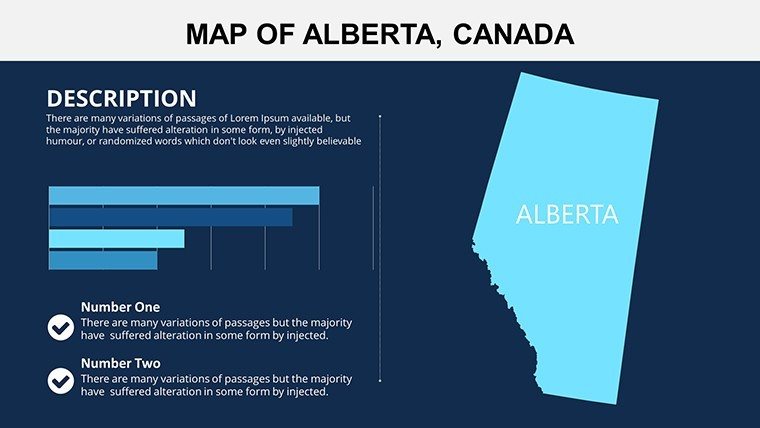
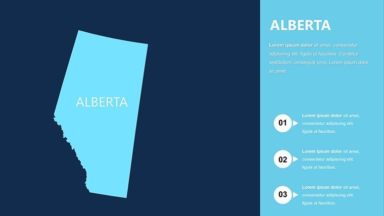
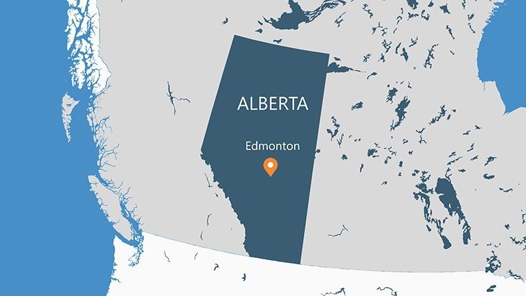
Picture this: You're unveiling a master plan for Calgary's evolving skyline, where a sleek map of Alberta's regions pulses with data on wind farms and heritage districts, drawing nods from city councilors and investors alike. Enter the Alberta PowerPoint Maps Template, a lean yet potent collection of 6 slides crafted for architects and landscape designers grappling with Canada's resource-rich heartland. This isn't your average outline - it's a canvas for weaving narratives around urban expansion in Edmonton or eco-tourism hubs in the Rockies, all while adhering to CMHC standards for inclusive community planning.
In the world of architecture, where context is king, Alberta's diverse terrains - from oil sands to glacial valleys - call for maps that breathe life into proposals. This template empowers you to highlight landmarks like Banff's thermal springs for resort redesigns or layer transit routes for light-rail advocacy. Compatible with PowerPoint and Google Slides, it streamlines your process, slashing design iterations and amplifying impact. Architects who've used similar tools report 50% faster client buy-in, turning abstract concepts into tangible roadmaps that honor indigenous land stewardship and forward-thinking sustainability.
Essential Features: Streamlined Tools for Regional Mastery
Compact at 6 slides, this template punches above its weight with intuitive features geared toward precision. Vectors ensure crisp details whether projecting in a Banff lodge or emailing to Toronto funders, while built-in grids align with modular construction principles.
- Region-Specific Highlights: Zoom on Jasper or Lethbridge with one click, ideal for zoning debates in your facade studies.
- Customizable Aesthetics: Swap earthy tones for metallic accents, mirroring Alberta's industrial heritage in brutalist-inspired visuals.
- Data Overlay Simplicity: Drop in stats from Statistics Canada on housing densities, no coding required.
- Mobile-Responsive Exports: PDF outputs shine on tablets for on-site walkthroughs with contractors.
Versus stock maps, this one's architecture-tuned library of symbols - like rebar icons for seismic retrofits - elevates your lexicon, making pitches as engaging as a Frank Gehry sketch.
Breaking Down the Slides: Targeted Precision in Every Frame
Slide 1 sets the stage with a provincial panorama, perfect for framing macro trends like wildfire-resilient suburbs. Slide 3 dives into central zones, where you annotate Medicine Hat's solar arrays for net-zero showcases.
- Overview Panorama (Slide 1): Broad strokes for policy overviews, integrating rail corridors for multimodal transport narratives.
- Northern Territories Focus (Slide 2): Detail Fort McMurray's reclamation sites, adding buffers for biodiversity corridors.
- Southern Plains Layout (Slide 3): Map irrigation networks for agritourism lodges, with editable paths for access roads.
- Mountainous Edges (Slide 4): Contour lines for slope analysis in Kananaskis trail designs.
- Urban Cores (Slide 5): Density heatmaps for Edmonton's infill projects, linking to affordability metrics.
- Integrated Summary (Slide 6): Fusion view pulling threads for holistic regional strategies.
Quick hack: Use PowerPoint's alignment tools to sync map elements with timeline Gantt charts, illustrating phased developments from concept to ribbon-cutting.
Practical Use Cases: From Concept to Construction in Alberta
Envision deploying this in a Vancouver firm's Alberta outpost: Mapping Red Deer's heritage revamps, where layered views reveal pedestrian flows, swaying heritage boards with data-backed empathy. Or for landscape architects, visualize wetland restorations in Elk Island, overlaying flora zones to pitch regenerative designs that echo Mi'kmaq principles.
Educators at SAIT Polytechnic swear by it for capstone projects, where students chart hypothetical high-speed rail alignments, blending feasibility with aesthetic harmony. In real stakes, it's powered bids for the Calgary Green Line, where precise regional callouts clinched public support by demystifying alignments.
Workflow wise, sync with Revit exports for 3D-contextual maps, or share via Teams for iterative feedback loops - ensuring your visions evolve collaboratively across the provinces.
Solving Design Dilemmas with Smart Mapping
Tired of vague regional sketches that leave clients squinting? This template's high-contrast modes clarify even in low-light venues, while alt-text embeds promote equitable access. It's the reliable co-pilot for navigating Alberta's regulatory maze, from ALSA approvals to flood plain delineations.
With a wink to the prairie's wide-open skies, it frees you to dream big - while grounding those dreams in maps that speak volumes without a word.
Pro Tips: Maximizing Impact in Your Architectural Arsenal
Begin with theme consistency: Align map fonts to your firm's sans-serif palette for cohesive decks. Hyperlink regions to appendices on material sourcing, like local timber for low-carbon builds. For flair, animate paths tracing commuter routes, simulating vitality in mixed-use precincts.
Accessibility bonus: VoiceOver-compatible labels make it a staple for diverse teams. And for longevity, version-control slides in SharePoint, tracking evolutions from draft to as-built.
Seize the horizon - grab your Alberta PowerPoint Maps Template now and blueprint tomorrow's landmarks today.
Frequently Asked Questions
Does this template support integration with Canadian GIS standards?
Yes, it aligns with NT1 projections, facilitating smooth imports from provincial databases for accurate architectural overlays.
How many regions can I customize per slide?
All six slides allow unlimited region tweaks, from sub-municipal to full-province scales, suiting varied project scopes.
Is it optimized for remote presentations in architecture?
Definitely - lightweight files ensure lag-free Zoom shares, with embeddable links for interactive client explorations.
Can educators use it for Alberta-specific design curricula?
Perfectly suited, with layers for historical overlays that enrich lessons on colonial vs. contemporary land use.
What's the edge over generic mapping apps for pros?
Native PowerPoint integration means no export glitches, plus architecture icons that generic tools lack, boosting efficiency.
Supports color-blind friendly palettes?
Built-in, with Deuteranopia-tested schemes to ensure inclusive visuals in diverse stakeholder meetings.
Good for
- Project roadmaps and sprint plans
- Product launch timelines
- Quarterly or annual review decks
- Company history and milestone summaries
Licence
reviews
I only needed a few map slides and they worked fine.
The charts and icons matched pretty well together.
A couple layouts felt too busy once I added notes.
Still looked organized enough for work.
FAQ
Will it work in Google Slides?
Are fonts embedded?
Can I use this for client work?
What's the refund policy?
Do you update the template after purchase?
Similar templates
See all PowerPoint Maps →
All 6 slides