 Click to zoom
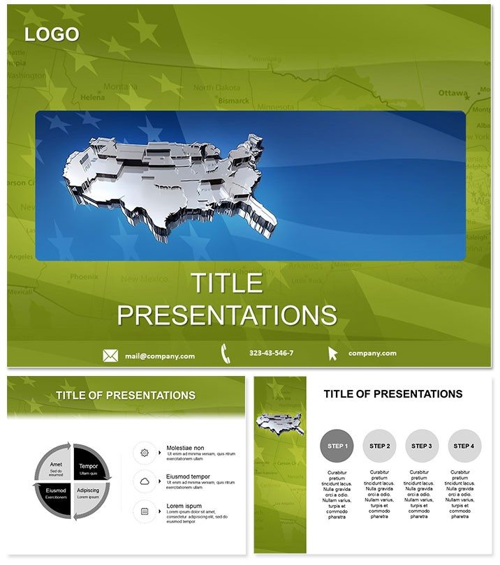
3D USA Map Flag PowerPoint Template: Dimension Your Discourse
| Format | .pptx |
| Slides | 3 unique layouts |
| Aspect ratio | 16:9 |
| Compatibility | PowerPoint |
| Animated | No |
| Language | English |
| License | Commercial |
| File size | — |
| Version | v1.0 |
| Last updated | January 2025 |
What's inside
Transport viewers across the vast expanse of the United States with three-dimensional depth that makes maps pulse with life, flags waving in contextual triumph. This 3D USA Map Flag PowerPoint Template suits diplomats, travelers, and analysts who seek to layer national pride with geographical insight in every slide.
It`s more than flatland - it`s an elevation of storytelling, where terrain contours and emblematic banners converge to make abstract territories feel immediate and influential.
3D Features That Add Depth
28 diagrams rendered in seven schemes blending reds, whites, and blues with topographic neutrals. Three masters for structural integrity, three backgrounds mimicking horizons or star fields.
- Layered 3D Effects: Shadowed elevations for realistic contours.
- Flag Animations: Gentle waves syncing with map pans.
- Route Planners: Overlay paths for trade or migration.
- Format Versatility: All major ratios covered.
PowerPoint 2016+ compliant, $22 eternal access.
28 Slides: Traversing the 3D Landscape
Slide 1: Panoramic 3D overview with central flag prominence. Slides 2-8: Coastal profiles, from Atlantic ports to Pacific rims, with rising sea-level sims. Heartland in 9-16: Plains undulating under wheat flags.
Mountain ranges 17-24: Rockies textured, with altitude callouts. Closing 25-28: Thematic overviews like election waves rippling across.
Use Cases: Global to Local
Trade envoys use coastal slides for port logistics. Tour operators animate routes for itinerary pitches. Analysts map economic disparities with flag-weighted densities.
Surpasses 2D defaults with immersive appeal, halving engagement drop-off.
Raise your horizons. Obtain the 3D USA Template immediately for layered legacies.
Depth Beyond Defaults
Plain maps bore; 3D captivates, with pro-verified projections. Shareable for virtual collaborations.
Endorsed in international forums for its evocative power.
Frequently Asked Questions
3D effects hardware needs?
Standard projectors; no special gear.
Flag accuracy?
Official specs, editable for variants.
Export options?
PDF or video for non-PowerPoint shares.
Zoom functionality?
Built-in for detailed explorations.
Multi-user?
Lifetime for teams.
Update frequency?
Static design, timeless utility.
Good for
- Project roadmaps and sprint plans
- Product launch timelines
- Quarterly or annual review decks
- Company history and milestone summaries
Licence
reviews
Mapped out a national sales territory plan, the 3D state contours and flag overlays made the regional data pop off the screen.
The reds, whites, and blues are very flag-heavy, but the '3D USA' theme is so specific that it is hard to use for a Canadian or Mexican expansion plan.
The coastal profiles with sea-level sims and the mountain ranges with altitude callouts helped the geology class visualize the terrain.
I used it for a tourism presentation, the route planners for trade or migration paths helped me sell the cross-country road trip package.
It is a visually striking template for US maps, the 28 diagrams are unique, but the 3D effects can be a bit glitchy on older projectors.
FAQ
Will it work in Google Slides?
Are fonts embedded?
Can I use this for client work?
What's the refund policy?
Do you update the template after purchase?
Similar templates
See all PowerPoint Templates →



All 1 slides